Difference between revisions of "User:Msmitherdc"
Jump to navigation
Jump to search
Msmitherdc (talk | contribs) |
Msmitherdc (talk | contribs) |
||
| (9 intermediate revisions by 3 users not shown) | |||
| Line 1: | Line 1: | ||
| + | {{OSGeo Member | ||
| + | |Name=Michael Smith | ||
| + | |JobTitle=Physical Scientist | ||
| + | |Company=US Army Corps of Engineers | ||
| + | |Country=USA | ||
| + | |State=New Hampshire | ||
| + | |City=Hanover | ||
| + | |Coordinate=43.7033561, -72.2885718 | ||
| + | |LocalChapter=North America | ||
| + | |Email=michael.smith.erdc[at]gmail.com | ||
| + | |Photo=msmitherdc.jpg | ||
| + | |Info=Michael Smith is a Physical Scientist with the Remote Sensing GIS Center of Expertise at the Cold Regions Research Engineering Laboratory of the US Army Corps of Engineers. He has been working as a GIS Specialist for 25 years with the last 13 years very involved with Open Source Geospatial. | ||
| + | }} | ||
| + | {{OSGeo Experience | ||
| + | |User=Yes | ||
| + | |Committee=Yes | ||
| + | |Board=Yes | ||
| + | |Coder=Yes | ||
| + | |Translate=No | ||
| + | |PSC=Yes | ||
| + | |ExBoard=No | ||
| + | |Charter=Yes | ||
| + | |Chair=No | ||
| + | |SolKatz=No | ||
| + | |Committer=Yes | ||
| + | }} | ||
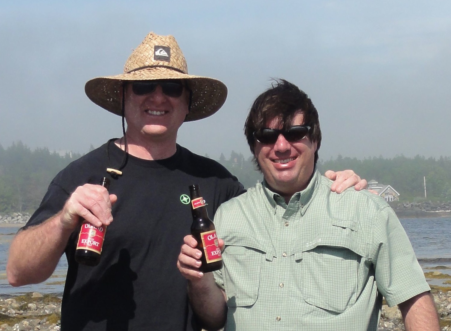
[[Image:msmitherdc.jpg|thumb|right|333px|Mike Smith & Jeff McKenna collaborating on WMS Benchmarking]] | [[Image:msmitherdc.jpg|thumb|right|333px|Mike Smith & Jeff McKenna collaborating on WMS Benchmarking]] | ||
| − | Michael | + | === Michael Smith === |
| − | Physical Scientist | + | Physical Scientist, US Army Corps of Engineers |
| + | Location: Hanover, New Hampshire, USA | ||
| + | Michael Smith is a Physical Scientist with the Remote Sensing GIS Center of Expertise at the Cold Regions Research Engineering Laboratory of the US Army Corps of Engineers. He has been working as a GIS Specialist for 25 years with the last 13 years very involved with Open Source Geospatial. | ||
| − | + | ||
| + | ;OSGeo Experience [[File:OSGeo_board.png|link=OSGeo_Advocate#OSGeo_Board_Members]] [[File:OSGeo_charter.png|link=OSGeo_Advocate#OSGeo_Charter_Members]] [[File:OSGeo_coder.png|link=OSGeo_Advocate#Developers_and_Committee_Members]] [[File:OSGeo_user.png|link=OSGeo_Advocate#OSGeo_Community_Members]] | ||
| + | |||
| + | :* Charter member since 2012 | ||
| + | :* Member of the MapServer Project Steering Committee | ||
| + | :* Member of WMS Benchmarking Group | ||
| + | :* Member of PDAL Project Steering Committee | ||
| + | |||
| + | ;irc: msmitherdc | ||
| + | |||
| + | ;email: michael.smith.erdc[at]gmail.com | ||
| + | |||
| + | ;Spoken Language(s): English | ||
| + | |||
| + | ;Profile last updated: 06 Nov 2017 | ||
| + | |||
| + | [[Category:OSGeo Advocate]] | ||
| + | [[Category:Board of Directors]] | ||
| + | [[Category:OSGeo Member]] | ||
| + | [[Category:OSGeo Charter Member]] | ||
Latest revision as of 07:07, 6 November 2017
| OSGeo Member | ||
|---|---|---|
| Name: | Michael Smith |  |
| Job Title: | Physical Scientist | |
| Company: | US Army Corps of Engineers | |
| Address: | ||
| City: | Hanover | |
| State: | New Hampshire | |
| Country: | USA | |
| Local Chapter: | North America | |
| Email: | michael.smith.erdc[at]gmail.com | |
| Phone: | ||
| Instant Messaging: | ||
| Website: | ||
| Language(s): | ||
| Personal Description : | Michael Smith is a Physical Scientist with the Remote Sensing GIS Center of Expertise at the Cold Regions Research Engineering Laboratory of the US Army Corps of Engineers. He has been working as a GIS Specialist for 25 years with the last 13 years very involved with Open Source Geospatial. | |
|
|
||
[[Email::michael.smith.erdc[at]gmail.com| ]]
OSGeo Experience and Roles:
Michael Smith
Physical Scientist, US Army Corps of Engineers Location: Hanover, New Hampshire, USA
Michael Smith is a Physical Scientist with the Remote Sensing GIS Center of Expertise at the Cold Regions Research Engineering Laboratory of the US Army Corps of Engineers. He has been working as a GIS Specialist for 25 years with the last 13 years very involved with Open Source Geospatial.
- Charter member since 2012
- Member of the MapServer Project Steering Committee
- Member of WMS Benchmarking Group
- Member of PDAL Project Steering Committee
- irc
- msmitherdc
- michael.smith.erdc[at]gmail.com
- Spoken Language(s)
- English
- Profile last updated
- 06 Nov 2017