Library
Welcome to the Library!
This is the scaffolding for OSGeo's CC-based Reading Room.
Templates
Please use the Open Office OSGeo template for your talks. Find other formats and the presentation library in the VisCom Documents section.
OSGeo Library Contents
Some presentations are found outside the osgeo.org domain:
The documents referenced below can be downloaded here.
- Beaudette_2006a - "Wilderness Navigational Planning Using GRASS GIS Analysis and Public Geographic Data" by Dylan Beaudette (Where 2.0); 23 slides [remix: yes] [format: PDF]
- Christl_2006a - "Introduction to Spatial Data Management with Postgis", by Arnulf Christl; 27 slides [remix: yes] [format: PDF, SXI]
- Gerlek_2006a - "The Open Source Geospatial Foundation", by Michael P. Gerlek, for GeoWeb 2006; 16 slides [remix: yes] [format: PDF, ODP]
- Gerlek_2006b - "OSGeo and the Open Source Movement", by Michael P. Gerlek, presentation to GIS students at the Chinese Academy of Sciences, Beijing, China (20 September 2006); 24 slides [remix: yes] [format: PPT]
- Holmes_2005a - "Open Source for Spatial Data Infrastructures", by Chris Holmes; focus on Africa, GIS; 18 slides [remix: yes] [format: PPT, ODP]
- Holmes_2005b - "Concept Demonstration: Implementing GEOSS Architecture using Open Standards and Open Source Software / Open Source for Spatial Data Infrastructures", by Chris Holmes; “The User and GEOSS Architecture” Workshop, 30 Oct. 2005; 25 slides [remix: yes] [format: PPT, ODP]
- Holmes_2005c - "What Spatial Data Infrastructures can learn from Open Source", by Chris Holmes. "The emergence of Free and Open Source Software (FOSS) products and soutions is becoming a key factor, especially in emerging economies, in determining how and who should build Information Infrastructures such as SDI. We consider initial software costs for creating an SDI as tending toward zero regardless of whether the FOSS or proprietary option is taken, with the long-term advantages offered by FOSS matterializing as increased sustainability, independence, stakeholder buy-in, and adaptation within an ever-changing IT environment [...]" 22 pages [remix: yes] [format: DOC, ODT]
- Holmes_2005d - "Towards a Free and Open Source Spatial Data Infrastructure", by Chris Holmes, Allan Doyle, Mick Wilson; from GSDI-8, 2005; 9 pages [remix: yes] [format: PDF]
- Holmes_2006a - "Return on investment of Open Source Software / An Ever-increasing Return on Investment", by Chris Holmes; from Location Intelligence 2006; 5 slides [remix: yes] [format: PPT, ODP]
- Horning_2006a - "The Open Source Geospatial Foundation - An Opportunity for the Conservation Community", by Ned Horning; prentation at Society for Conservation GIS Annual Conference 2006; 23 slides [remix: yes] [format: PPT]
- Jolma_2006a - "Free and Open Source Geospatial Tools for Environmental Modeling and Management", by Ari Jolma et al; from a workshop at the iEMSs 2006 conference; 16 pages [remix: yes] [format: PDF]
- Lang_2006a - "How APIs, Standards, and Customers Drive Software Genres into Open Source", by Gary Lang, for GeoWeb 2006; 25 slides [remix: yes] [format: ODP, PDF]
- McIllhagga_2006 - "Introduction to the Open Source GeoSpatial (OSGeo) Foundation", by Dave McIllhagga; presentation to Natural Resouces Canada; 10 slides [remix: yes] [format: PPT]
- Mitasova_2006 - "Open Source Geoinformatics for Environmental Modeling", Keynote presentation at Summit on Environmental Modelling and Software iEMSs 2006 (http://www.iemss.org/iemss2006/) prepared by Helena Mitasova, Markus Neteler, Jaroslav Hofierka and Carlo Ratti; 35 slides (lot of images, some animations), [remix: yes] [format: ODP, PPT]
- Mitchell_2005 - Presentation by Tyler Mitchell for Where 2.0 (San Francisco, 2005), called "Open Source Geo Tools". It introduces a handful of open source GIS tools/APIs. The first couple slides show some (pseudo-animated) architecture ideas. The rest of the slides were simply prompts and visual cues for the talk (no text or outline points). [remix: yes] [format: PPT, ODP]
- Neteler_2006a - "The GRASS GIS software - GIS Seminar" Introduction to GRASS and QGIS for newbies, 6 hours course with practical examples based on GRASS 6.1 and QGIS 0.8, by Markus Neteler. [remix: yes, CC-BY-SA] [format: PDF, ODP]
- Neteler_2006b - " Growing GRASS - Lightning talk at FOSS4G 2006", Open Source Geospatial Communities JOINT CONFERENCE, Sept. 12-15 2006, Lausanne, Switzerland, by Markus Neteler. [remix: yes, CC-BY-SA] [format: PDF (no anim), ODP (anim)]
- Raghavan_2006 - "Present Status of Free and Open Source Web GIS", by Venkatesh Raghavan, March 2006; 25 slides [remix: yes] [format: ODP]
- Ticheler_2005 - FOSS and OpenSDI - A presentation on Free and Open Source Software in the context of an OpenSDI (Open Source based Spatial Data Infrastructure). The presentation uses the LEGO® Metaphor as used in “Towards a Free and Open Source Spatial Data Infrastructure.” (Holmes_2005d); 36 slides [remix: yes] [format: PPT]
- Ticheler_2006a - "Building a FOSS based SDI" - A presentation on building a Free and Open Source Software based Spatial Data Infrastructure. This presentation was delivered at the Open Geospatial Consortium Interoperability Day in Edinburgh - Scotland, 30 June 2005; 37 slides [remix: yes] [format: PPT]
- Walsh_2006 - Response to the Geospatial Line of Business RFI, by Jo Walsh et al, May 2006; 8 pages [remix: yes] [format: DOC]
- Warmerdam_2006a - Presentation on GDAL/OGR for Where 2.0, by Frank Warmerdam; 10 slides [remix: yes] [format: pdf]
Rough Goals and Groundrules
Your Visibility Committee has set up a "library" of content related to OSGeo activities, and we would like you to contribute. We know that there is a lot of very good content out there -- and so our idea is to be able to collect a number of presentations, talks, etc, under terms of CC license so that other OSGeo members can use them in order to create/derive/remix/mashup their own custom presentations, talks, etc.
The CC license used is "Attribution Share Alike (by-sa)".
The sort of content we are looking for includes, but is not limited to:
- papers
- slide presentations
- web-based presentations (e.g. for tutorials)
- podcasts
- ...?
The topics we are looking to cover include anything that touches on OSGeo, e.g. the intersection of Open Source and GIS:
- overviews of what our Foundation is and does
- why open source is good, in the GIS world
- surveys of open source geo packages
- presentations on specific OSGeo member projects
- etc
As we intend this to be a "permanent" library, higher quality material is preferred over random wiki pages of notes and scribblings. (That said, if your scribblings are any good, I'd be happy with that.) If in doubt, go ahead and submit it.
- The actual "library" will live on the OSGeo site on this Wiki page, with summaries and links. The actual content will live on osgeo.org.
- We are file format neutral: whatever format is submitted will be what we use, at least for now. PowerPoint,PDF, LaTex, troff, HyperCard, whatever. Multiple formats are OK too. Let a thousand standards bloom.
- Languages other than English are encouraged! (although you'll need to give me a short one-sentence summary in English of what the content is about...)
- Generally speaking, I think we should exclude from this CFP any material that is more "course-work" oriented, as that falls under the purview of the Educationand Curriculum Committee.)
GFOSS Books
There are numerous books available which cover OSGeo foundation projects (add more in Template:Books):
| Cover | Year | Authors | Title and further data |
|---|---|---|---|
|
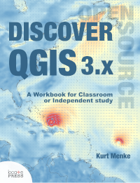
2019 | Kurt Menke | Discover QGIS 3.x - A Workbook for Classroom or Independent Study, Locate Press, 406 p., ISBN 978-0998547763 ([1] Locate Press site) |

|
2013 | S. Iacovella and B. Youngblood | GeoServer Beginner's Guide, Packt Publishing, 350 p., ISBN 978-1-84951-668-6 (Packt site) |
|
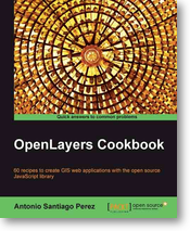
2012 | Antonio Santiago | OpenLayers Cookbook, Packt Publishing, 300 p., ISBN 978-1-84951-784-3 ([2]) |
|
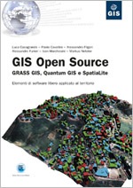
2012 | L. Casagrande, P. Cavallini, A. Frigeri, A. Furieri, I. Marchesini, M. Neteler | GIS Open Source: GRASS GIS, Quantum GIS e SpatiaLite. 224p., ISBN 978-8-85790-149-7 (http://tinyurl.com/Libro-GIS-Open-Source, and data download) |
|
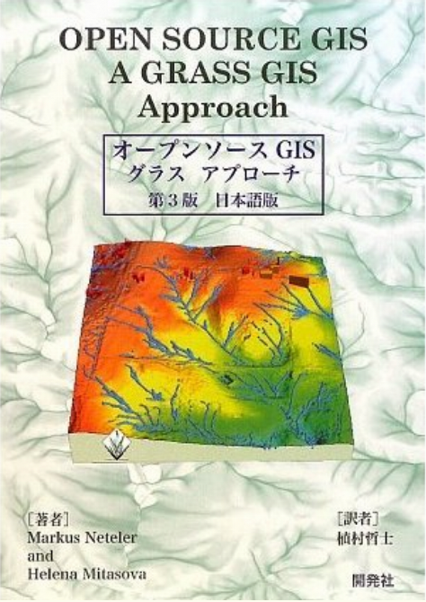
2008/2009 | M. Neteler and H. Mitasova - translated by Tetsuji Uemura | オープンソースGISグラスアプローチ (Open Source GIS: A GRASS GIS Approach - in Japanese). 3rd Ed., http://www.grassbook.org - Order |

|
2008 | Bivand, Roger S., Pebesma, Edzer J., Gómez-Rubio, Virgilio | Applied Spatial Data Analysis with R. Series: Use R, 378 p., Softcover, ISBN 978-0-387-78170-9 (Springer Site, Book's Homepage) |
|
2008 | Hall, G. Brent; Leahy, Michael G. (Eds.) | Open Source Approaches in Spatial Data Handling. Series: Advances in Geographic Information Science, 278 p. 126 illus., 29 in color., Hardcover, ISBN 978-3-540-74830-4 (TOC) |
|
2008 | M. Neteler and H. Mitasova | Open Source GIS: A GRASS GIS Approach. 3rd Ed., Springer, New York. 406 pages, ISBN 038735767X, http://www.grassbook.org |
|
2008 | G. Sherman | Desktop GIS: Mapping the Planet with Open Source. Pragmatic Bookshelf, 360 pages, ISBN 1934356069, http://www.pragprog.com/titles/gsdgis/desktop-gis |
|
2005 | S. Erle, R. Gibson, and J. Walsh, | Mapping Hacks. O'Reilly Media, Inc., 564 pages, ISBN 0596007035, http://mappinghacks.com |
| 2006 | S. Erle and R. Gibson | Google Maps Hacks. O'Reilly Media, Inc., 366 pages, ISBN 0-596-10161-9, http://www.oreilly.com/catalog/googlemapshks/ | |
|
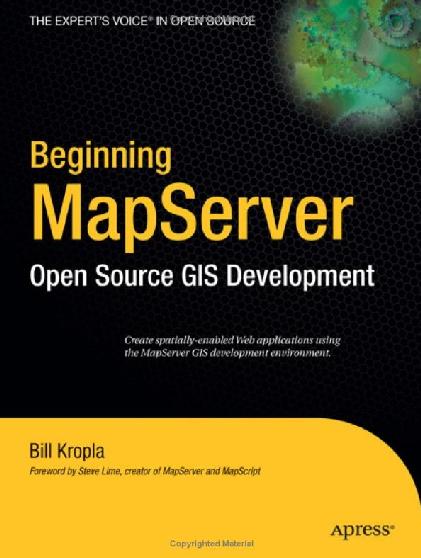
2005 | B. Kropla, | Beginning MapServer: Open Source GIS Development (Expert's Voice in Open Source). Apress, 448 pages, ISBN 1590594908, http://www.apress.com/book/bookDisplay.html?bID=443 |
|
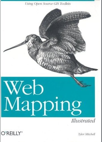
2005 | T. Mitchell | Web Mapping Illustrated: Using Open Source GIS Toolkits. O'Reilly Media, Inc., 367 pages, ISBN 0596008651, http://www.oreilly.com/catalog/webmapping/ . Reprints of English version are pending, fall 2008, and may appear out of print at the moment. |
|
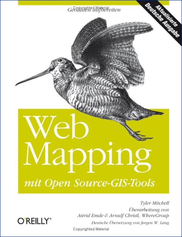
2008 | T. Mitchell | Web Mapping Illustrated: Using Open Source GIS Toolkits. O'Reilly Media, Inc., Also available in Japanese and German. |