Difference between revisions of "File:2012-Top10NL-Apeldoorn-jwstyle.jpg"
Jump to navigation
Jump to search
(Top10NL, Apeldoorn. Op basis van de GML open geodata van de Top10NL (basisregistratie Topografie, Kadaster 2011), vrijgegeven door Kadaster op 1-1-2012 onder de Creative Commons BY licentie. Samenstelling en kleurenschema: [[user:janwillemvanaalst|Jan-Wil) |
(uploaded a new version of "File:2012-Top10NL-Apeldoorn-jwstyle.jpg": Car parking areas added; plus slightly larger zoom level) |
(No difference)
| |
Latest revision as of 08:24, 11 February 2012
Top10NL, Apeldoorn. Op basis van de GML open geodata van de Top10NL (basisregistratie Topografie, Kadaster 2011), vrijgegeven door Kadaster op 1-1-2012 onder de Creative Commons BY licentie. Samenstelling en kleurenschema: Jan-Willem van Aalst
File history
Click on a date/time to view the file as it appeared at that time.
| Date/Time | Thumbnail | Dimensions | User | Comment | |
|---|---|---|---|---|---|
| current | 08:24, 11 February 2012 | 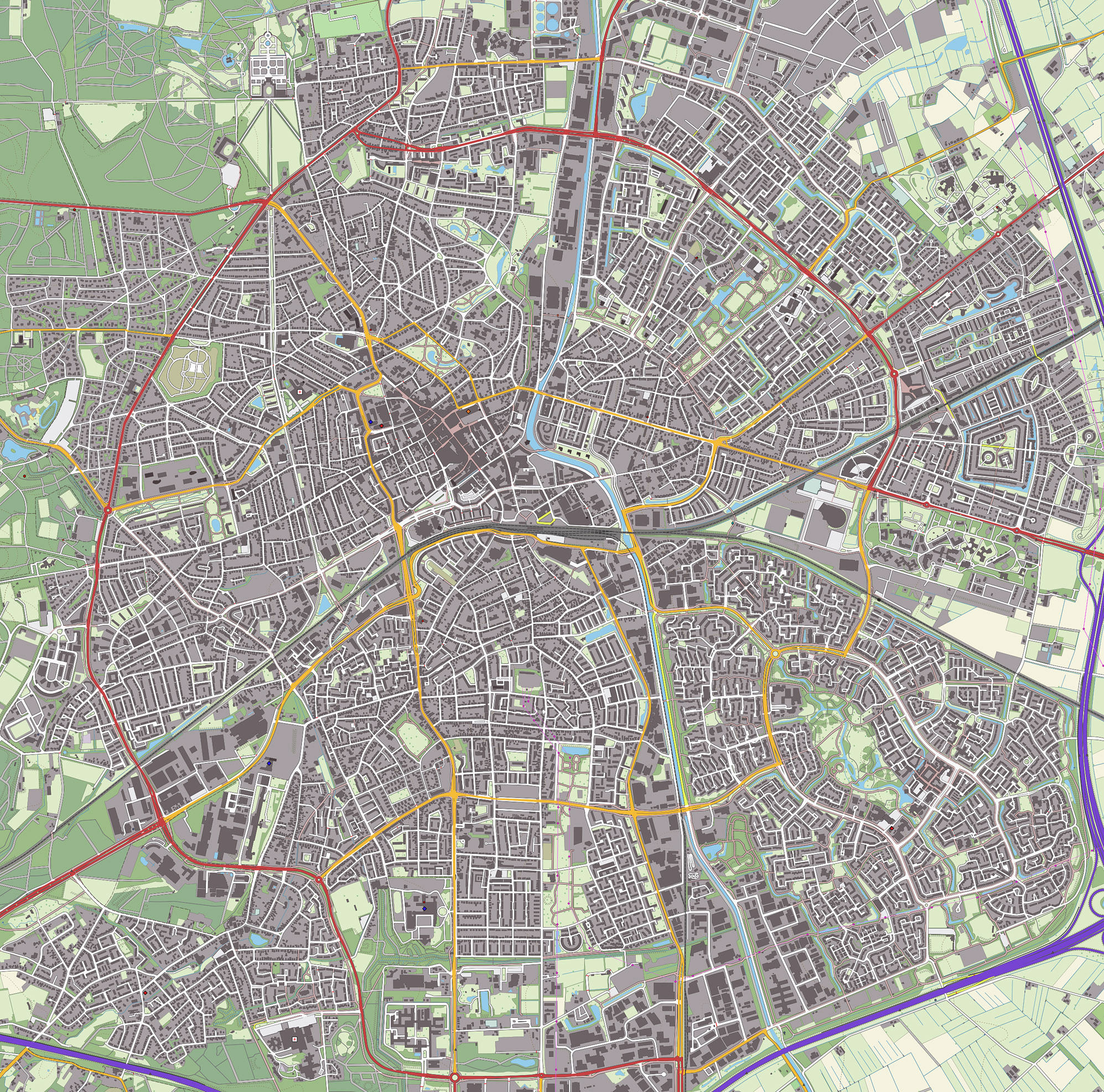 | 1,995 × 1,975 (1.94 MB) | Wiki-Jwva (talk | contribs) | Car parking areas added; plus slightly larger zoom level |
| 12:53, 10 February 2012 | 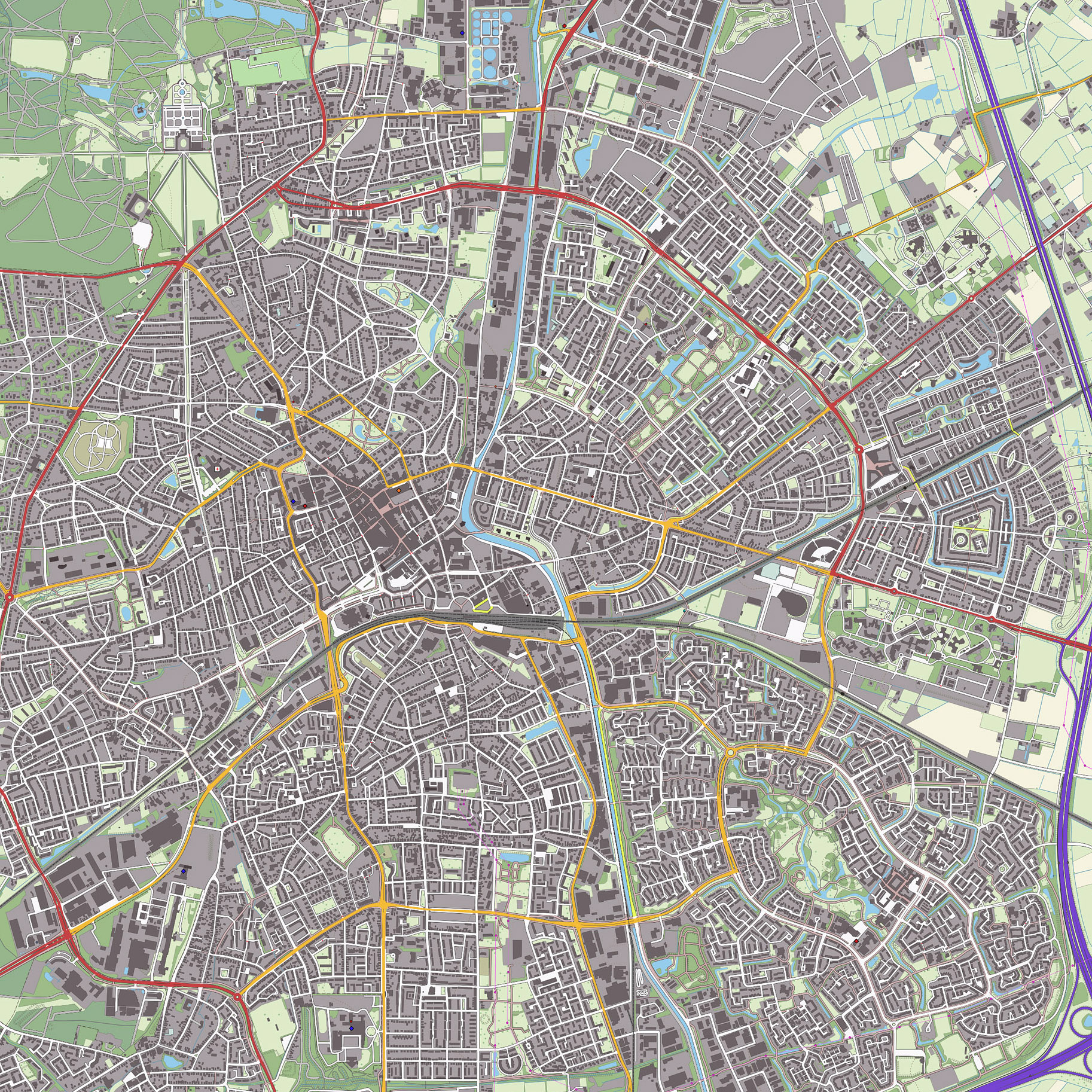 | 1,826 × 1,826 (1.66 MB) | Wiki-Jwva (talk | contribs) | Top10NL, Apeldoorn. Op basis van de GML open geodata van de Top10NL (basisregistratie Topografie, Kadaster 2011), vrijgegeven door Kadaster op 1-1-2012 onder de Creative Commons BY licentie. Samenstelling en kleurenschema: [[user:janwillemvanaalst|Jan-Wil |
You cannot overwrite this file.
File usage
The following page uses this file: