Difference between revisions of "OSGeo-es: borrador presentación 4as gvSIG"
Wiki-Vehrka (talk | contribs) |
|||
| Line 3: | Line 3: | ||
=Quienes somos= | =Quienes somos= | ||
* Google | * Google | ||
| − | ** Mapas | + | ** Mapas -> http://www.grassbook.org/gallery/ch3getstarted/s030105f030_nvizellandcov.png |
| − | ** Ropa interior | + | ** Ropa interior -> http://gispro.files.wordpress.com/2007/03/osgeo_thong.jpg |
| − | ** Gente | + | ** Gente -> mosaicos fotos |
* Flickr | * Flickr | ||
| − | ** Gente reunida | + | ** Gente reunida -> Gente |
| − | ** Gente viajando | + | ** Gente viajando -> composicion polaroid OSGeo en sitios |
| − | ** Gente comiendo | + | ** Gente comiendo/divirtiendose -> Composicionpolaroid Bolsena, Girona, Cenas etc |
| − | * Gente Forma una comunidad | + | * Gente Forma una comunidad -> Paraguas? Comunidad? -> http://www.suzylamplugh.org/files/images/Training/community_pic.jpg |
** Presentacion OSGeo | ** Presentacion OSGeo | ||
*** Capitulo Local Hispanohablante | *** Capitulo Local Hispanohablante | ||
Revision as of 16:08, 25 November 2008
intro
Quienes somos
- Google
- Mapas -> http://www.grassbook.org/gallery/ch3getstarted/s030105f030_nvizellandcov.png
- Ropa interior -> http://gispro.files.wordpress.com/2007/03/osgeo_thong.jpg
- Gente -> mosaicos fotos
- Flickr
- Gente reunida -> Gente
- Gente viajando -> composicion polaroid OSGeo en sitios
- Gente comiendo/divirtiendose -> Composicionpolaroid Bolsena, Girona, Cenas etc
- Gente Forma una comunidad -> Paraguas? Comunidad? -> http://www.suzylamplugh.org/files/images/Training/community_pic.jpg
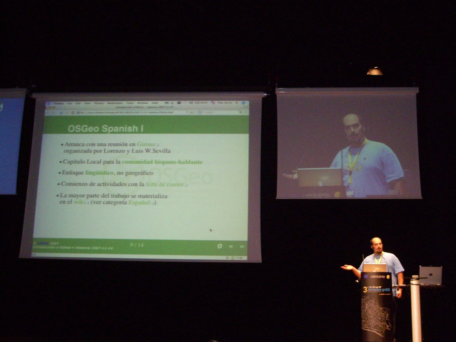
- Presentacion OSGeo
- Capitulo Local Hispanohablante
- Fundación que tenemos detrás
- Presentacion OSGeo
Que ofrecemos
- Comunidad
- Referente: Llave de un nuevo modelo
- Plataforma de apoyo
- Proyectos
- internacionales
- software -> slide de Jorge http://www.osgeo.org/files/tyler/images/siglibre_foss_sig_relacion.png
- software -> slide de holoh (14 proyectos, 4.8M LOC, 188 Contribuidores, 1,304 Años, $71M)
- de habla hispana
- libro sig -> http://www.flickr.com/photos/ominiverdi/2042280233/in/set-72157603225812623/
- comites -> educacion, migracion a software libre, Geodatos
- internacionalizacion -> ??? http://www.foss4g2006.org/site/gallery/albums/Booths/MG_5278.sized.jpg
- suporte a eventos ->
- valencia ->
- girona
- cuba http://www.flickr.com/photos/ominiverdi/2607557726/in/set-72157605787461636/
- valencia ->
- internacionales
- Proyectos
Que necesitamos
- Comunidad
- Opiniones colaboracion
- mas desarrollo
- Colaboracion
- Instituciones
- Empresas
- Universidades
- Frikis
conclusion
otras descripciones
para el foss4g
The OSGeo Spanish Local Chapter has been recently approved as official OSGeo Chapter for Spanish speaking areas of all continents.
The wide area covered by such a Language Chapter includes many users, Institutions, universities and companies that are involved with the use and spread of FOSS4G technologies. The community started in 2007, and it has been supporting the creation of a similar OSGeo infrastructure with the aim of spreading and supporting the OSGeo goals. So far, it has established a Members List and elected its Board of Directors:
   * Jorge L. Batista
   * Lorenzo Becchi
   * Pedro-Juan Ferrer Matoses
   * Víctor Olaya
   * Jorge Gaspar Sanz
Key activities include work on the Free GIS Book, Spanish Localization of softwares and documentations and supporting events as Jornadas de SIG Libre (Girona, Spain), Jornadas gvSIG (Valencia, Spain) or Informatica 2009 (La Habana, Cuba).
The Spanish National Government and the different Autonomous Governments are actively supporting Open Source software use inside the Public Administration, Primary and Secondary Schools, ... In conjunction with this active support, the debate about opening some parts of the National Geodata elaborated by public institutions such as regional governments, cartographic institutes, … is very active at present time.
Several projects like gvSIG, Sextante or Kosmo has evolved in Spain and now they are becoming FOSS4G realities worldwide.
The year 2009 is an important milestone for the INSPIRE Initiative (Infrastructure for Spatial Information in Europe) and the attention shall be focused to the most important International Event (FOSS4G) related to Open Technologies for Geomatics, showing and pointing out some interesting technologies for the building of a real Open Source SDI.