Difference between revisions of "OSGeo Member Map documentation"
Wiki-Anirudh (talk | contribs) m (→Template) |
Jayenashar (talk | contribs) |
||
| Line 19: | Line 19: | ||
[[File:Createusermapdata.png]] | [[File:Createusermapdata.png]] | ||
| − | Fill out the input boxes accordingly. The Name and Coordinate fields are mandatory, the other fields are optional. | + | Fill out the input boxes accordingly. The Name and Coordinate fields are mandatory, the other fields are optional. The coordinate is latitude,longitude (y,x). |
Then save the form. If everything went fine, you will see something like the following screenshot: | Then save the form. If everything went fine, you will see something like the following screenshot: | ||
Latest revision as of 19:28, 16 December 2020
The OSGeo Member Map is the successor of the previous userMap.
The Members are organized in the OSGeo Member Category, that functions as a members directory.
Usage
Add yourself to the Map / Member Directory
Each user adds the information about them self on their User: page. Using a Form or by adding a template to the wiki text.
Form
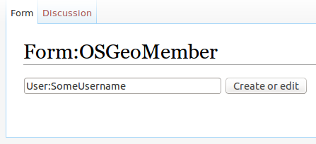
Using this form, you can add yourself to the Map. Type in your user handle into the input field like this User:<ddtrans>, so the template including your informations will be stored on your User: page.
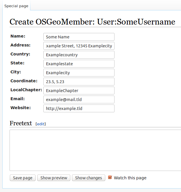
After filling in User:<username> into the input box and click on 'Create', the following form will appear:
Fill out the input boxes accordingly. The Name and Coordinate fields are mandatory, the other fields are optional. The coordinate is latitude,longitude (y,x).
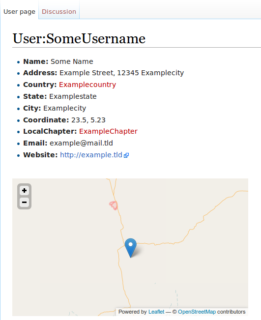
Then save the form. If everything went fine, you will see something like the following screenshot:
Note: Sometimes the location is not rendered immediately on the map. This is a known problem, see FAQ further down this page.
Template
{{OSGeo Member
|Name= Anirudh
|Address=
|Country=
|State=
|City=
|Coordinate=17.8280875,83.35705069999995
|LocalChapter=
|Email=
|Website=
\}}
Edit your Data
Editing is similar to entering data..
Form
Using the Form, by editing your User: page, the form will automatically load the data for editing, if OSGeoMember data was previously provided.
Template
The template can be edited, by editing your User: page and simply changing the data in the template.
Display a map
Using Semantic Maps, maps can be displayed as a result to a query (that yield Coordinate informations), or using a defined parser hook.
OSGeo Member Map
The map of all members, that provided their coordinate, can be included on any page of the OSGeo Wiki using the following wiki text markup:
{{OSGeoMemberMap-ask}}
FAQ
1. Why is my location not shown on the map, after I entered my data?
A: It is well possible, that a newly entered location is not immediately shown on the map, this is due to some intransparent caching mechanisms of Mediawiki and/or Semantic Mediawiki. Normally it will be visible at the latest within 24 hours. If this is not the case ping User:Cwillmes.


