Difference between revisions of "Philippines/philgeos2013"
Jump to navigation
Jump to search
Wiki-Maning (talk | contribs) (topic wishlist) |
Wiki-Maning (talk | contribs) (→Program: additional slide links) |
||
| (14 intermediate revisions by the same user not shown) | |||
| Line 1: | Line 1: | ||
| − | OSGEO Philippines ([http://wiki.osgeo.org/wiki/Philippines OSGeo-PH]), the University of Philippines Department of Geodetic Engineering ([http://dge.upd.edu.ph/dge/ UPD-GE]) | + | OSGEO Philippines ([http://wiki.osgeo.org/wiki/Philippines OSGeo-PH]), the University of Philippines Department of Geodetic Engineering ([http://dge.upd.edu.ph/dge/ UPD-GE]) and the Environmental Science for Social Change ([http://www.essc.org.ph ESSC]) organized a series of pre-symposium workshops showcasing free and open source geospatial technologies at the '''[http://dge.upd.edu.ph/philgeos2013/ PhilGEOS 2013]''' last November 27, 2013 at '''Melchor Hall University of the Philippines, Diliman, Quezon City''' ([http://www.openstreetmap.org/?mlat=14.656454&mlon=121.070049&zoom=18&layers=M map]). Over 70 participants joined in the 9 talks and demonstration. Marco Bernasocchi (QGIS Core Developer) also joined the event through Google Hangout. |
== Program == | == Program == | ||
| Line 10: | Line 10: | ||
!Description | !Description | ||
!Slides and other resources | !Slides and other resources | ||
| + | |||
|-style="background-color:#CCC" | |-style="background-color:#CCC" | ||
| − | ! colspan="5" | | + | ! colspan="5" | AM Session |
| − | |||
| − | |||
| − | |||
| − | |||
| − | |||
| − | |||
|- | |- | ||
| − | | | + | |9:05 - 9:35 |
| − | | | + | |Mark Tupas |
| − | | | + | |Open Source Geospatial Stack |
| − | + | |Overview of Free and Open Source Software for Geospatial (FOSS4G) | |
| − | | | + | |[http://slides-marx.rhcloud.com/PhilGEOS/OpenGeospatialStack.pdf slides] |
| − | |- | ||
| − | |||
|- | |- | ||
| − | | | + | |9:35 – 10:15 |
| − | | | + | |Julius Bangate |
| − | | | + | |SAGA – System for Automated Geoscientific Analysis |
| − | | | + | |Basic installation and use of SAGA for DEM analysis. |
| | | | ||
|- | |- | ||
| − | | | + | |10:30 – 11:20 |
| − | | | + | |Maning Sambale |
| − | | | + | |Free GEO Culture and OpenStreetMap |
| − | | | + | |Free Geospatial Culture Movement and OpenStreetMap |
| − | | | + | |[http://www.slideshare.net/esambale/philgeos-freeculture-slides2 slides] |
|- | |- | ||
| − | | | + | |11:20 – 12:00 |
| − | | | + | |Maning Sambale and Dianne Bencito |
| − | | | + | |InaSafe – Indonesian Scenario Assessment for Emergencies |
| − | | | + | |Demostration in the use [http://inasafe.org InaSAFE] (Indonesian Scenario Assessment for Emergencies) |
| − | | | + | |[http://essc.github.io/noah-wb-workshop/inasafe.html workshop demo] |
|-style="background-color:#CCC" | |-style="background-color:#CCC" | ||
| − | ! colspan="5" | | + | ! colspan="5" | PM Session |
|- | |- | ||
| + | |1:30 – 2:10 | ||
| + | |Luis Ian Panganiban | ||
| + | |3D Web Mapping with X3D | ||
| | | | ||
| − | | | + | |[http://www.slideshare.net/ianpanganiban/intro-3d-mappingwithx3d slides] |
| − | | | + | |- |
| + | |2:10 – 2:50 | ||
| + | |Charmyne Mamador | ||
| + | |2D Web Mapping with Flask | ||
| | | | ||
| + | |[http://www.slideshare.net/ChammieMamador/2d-web-mapping-with-flask slides] | ||
| + | |- | ||
| + | |2:50 – 3:30 | ||
| + | |Ranel Padon | ||
| + | |Leaflet and Jquery | ||
| | | | ||
| + | |[http://www.slideshare.net/ranelpadon/power-and-elegance slides] | ||
|- | |- | ||
| + | |4:00 – 4:20 | ||
| + | |Marco Bernasocchi | ||
| + | |Quantum GIS (QGIS) 2.0 New Features | ||
| + | |New and exciting features of QGIS 2.0 | ||
| + | |[https://dl.dropboxusercontent.com/u/1393944/qgis_2.pdf slides] | ||
|- | |- | ||
| − | | | + | |4:20 – 5:00 |
| − | | | + | |Willy Rada |
| − | | | + | |GeoExt |
| − | |||
| − | |||
| − | |||
| − | |||
| − | |||
| − | |||
| | | | ||
| | | | ||
|} | |} | ||
| − | === | + | == Photos and News == |
| − | + | <gallery widths=150px perrow=4 caption="Photos"> | |
| − | + | File:Philgeos2013_marxtupas.JPG|Marx Tupas | |
| − | + | File:Philgeo2013_maningsambale.JPG|Maning Sambale | |
| + | File:Philgeos2013_diannbencito.JPG|Dianne Bencito | ||
| + | File:Philgeos2013_charmynemamador.JPG|Charmyne Mamador | ||
| + | File:Philgeos2013_luispanganiban.JPG|Luis Ian Panganiban | ||
| + | File:Philgeos2013_qgis2_marcobernasocchi.JPG|Marco Bernasocchi via Google Hangout | ||
| + | File:Philgeos2013_wilrada.JPG|Willy Rada | ||
| + | </gallery> | ||
| − | + | [[Category: Events]] | |
| − | + | [[Category:Philippines Chapter]] | |
| − | |||
| − | |||
| − | |||
| − | |||
| − | |||
Latest revision as of 04:57, 30 November 2013
OSGEO Philippines (OSGeo-PH), the University of Philippines Department of Geodetic Engineering (UPD-GE) and the Environmental Science for Social Change (ESSC) organized a series of pre-symposium workshops showcasing free and open source geospatial technologies at the PhilGEOS 2013 last November 27, 2013 at Melchor Hall University of the Philippines, Diliman, Quezon City (map). Over 70 participants joined in the 9 talks and demonstration. Marco Bernasocchi (QGIS Core Developer) also joined the event through Google Hangout.
Program
| Time | Speaker | Title | Description | Slides and other resources |
|---|---|---|---|---|
| AM Session | ||||
| 9:05 - 9:35 | Mark Tupas | Open Source Geospatial Stack | Overview of Free and Open Source Software for Geospatial (FOSS4G) | slides |
| 9:35 – 10:15 | Julius Bangate | SAGA – System for Automated Geoscientific Analysis | Basic installation and use of SAGA for DEM analysis. | |
| 10:30 – 11:20 | Maning Sambale | Free GEO Culture and OpenStreetMap | Free Geospatial Culture Movement and OpenStreetMap | slides |
| 11:20 – 12:00 | Maning Sambale and Dianne Bencito | InaSafe – Indonesian Scenario Assessment for Emergencies | Demostration in the use InaSAFE (Indonesian Scenario Assessment for Emergencies) | workshop demo |
| PM Session | ||||
| 1:30 – 2:10 | Luis Ian Panganiban | 3D Web Mapping with X3D | slides | |
| 2:10 – 2:50 | Charmyne Mamador | 2D Web Mapping with Flask | slides | |
| 2:50 – 3:30 | Ranel Padon | Leaflet and Jquery | slides | |
| 4:00 – 4:20 | Marco Bernasocchi | Quantum GIS (QGIS) 2.0 New Features | New and exciting features of QGIS 2.0 | slides |
| 4:20 – 5:00 | Willy Rada | GeoExt | ||
Photos and News
- Photos
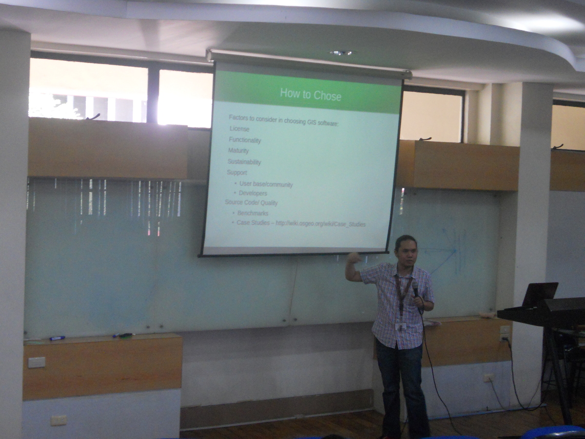
Marx Tupas
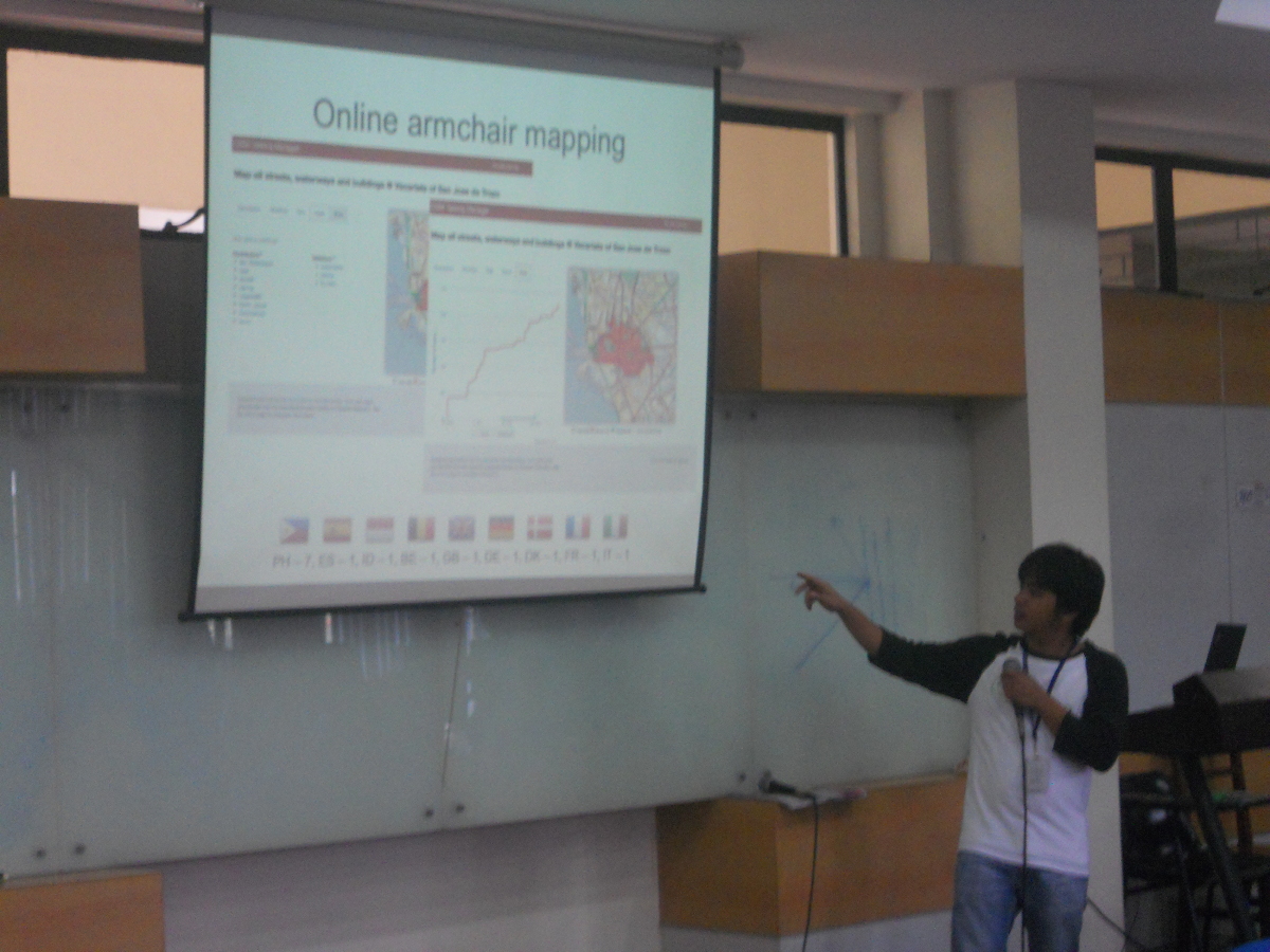
Maning Sambale
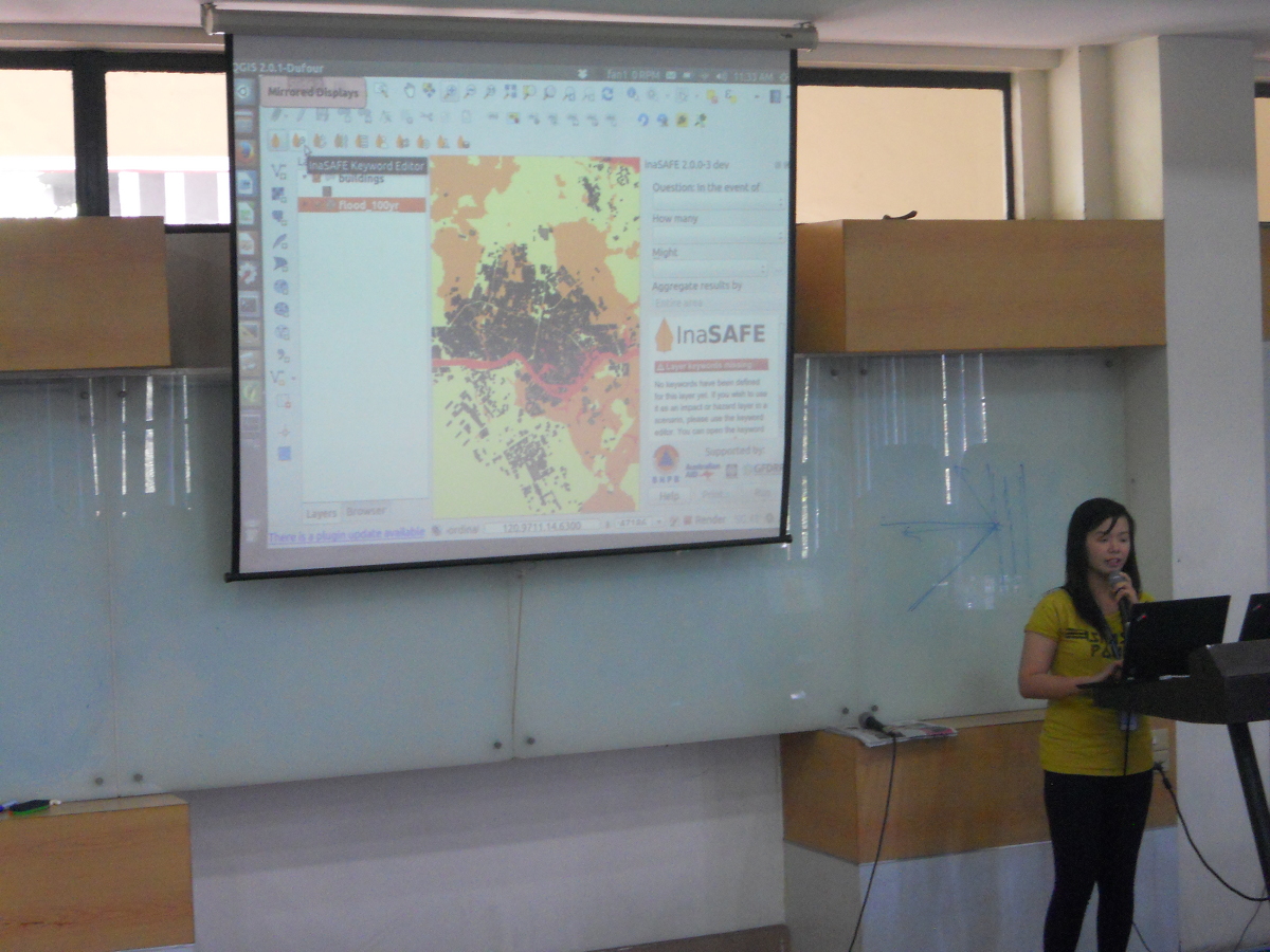
Dianne Bencito
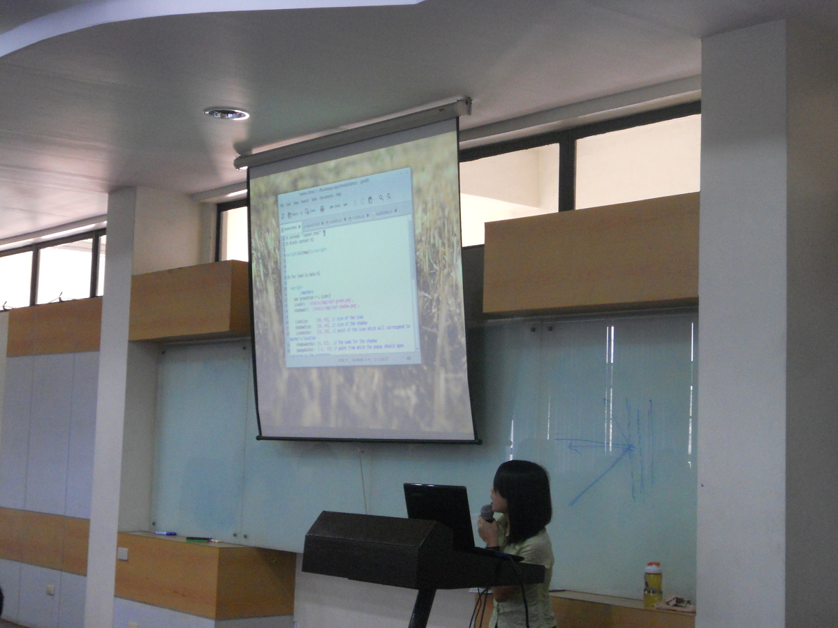
Charmyne Mamador
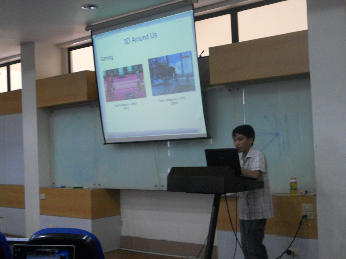
Luis Ian Panganiban
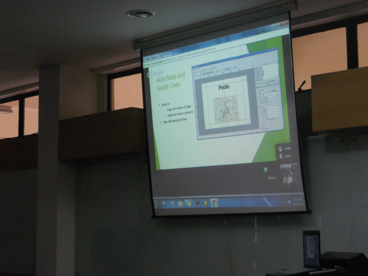
Marco Bernasocchi via Google Hangout
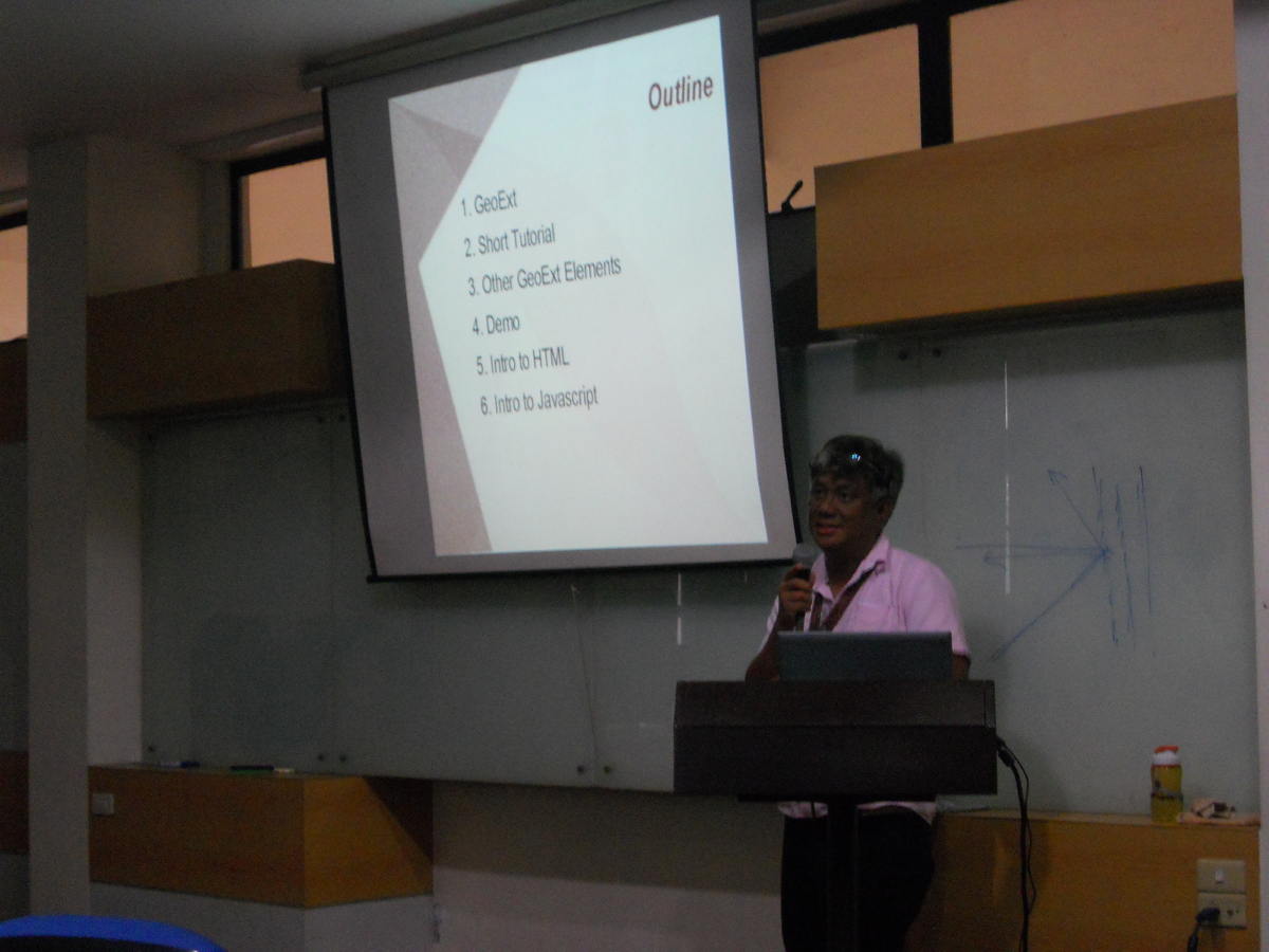
Willy Rada


