Difference between revisions of "UN Open GIS logo contest"
Wiki-Grantps (talk | contribs) |
m (Maxi71 moved page UN OpenGIS logo contest to UN Open GIS logo contest: OpenGIS is a trademark name) |
||
| (27 intermediate revisions by 8 users not shown) | |||
| Line 1: | Line 1: | ||
| − | + | The UN open GIS Initiative is to identify and develop an Open Source GIS bundle that meets | |
| − | |||
| − | The UN | ||
the requirements of UN operations, taking full advantage of the expertise of mission | the requirements of UN operations, taking full advantage of the expertise of mission | ||
partners (partner nations, technology contributing countries, international organizations, | partners (partner nations, technology contributing countries, international organizations, | ||
| Line 8: | Line 6: | ||
The strategic approach shall be developed with best and shared principles, standards and | The strategic approach shall be developed with best and shared principles, standards and | ||
ownership, in a prioritized manner that addresses capability gaps and needs without | ownership, in a prioritized manner that addresses capability gaps and needs without | ||
| − | duplicating efforts of other Member States or entities. The UN | + | duplicating efforts of other Member States or entities. The UN open GIS Initiative strategy |
shall collaboratively and cooperatively develop, validate, assess, migrate, and implement | shall collaboratively and cooperatively develop, validate, assess, migrate, and implement | ||
sound technical capabilities with all the appropriate documentation and training that in the | sound technical capabilities with all the appropriate documentation and training that in the | ||
| Line 17: | Line 15: | ||
OSGeo has been involved in the initiative trough the OSGeo [[UnitedNations_Committee|UnitedNations Committee]] | OSGeo has been involved in the initiative trough the OSGeo [[UnitedNations_Committee|UnitedNations Committee]] | ||
| − | and is currently actively contributing to the UN | + | and is currently actively contributing to the UN open GIS initiative. |
With this contest, the [[UnitedNations_Committee|UnitedNations Committee]] would like to invite the artistic | With this contest, the [[UnitedNations_Committee|UnitedNations Committee]] would like to invite the artistic | ||
| − | minds in our community to develop the official logo of the UN | + | minds in our community to develop the official logo of the UN open GIS initiative. |
| − | This ''UN | + | This ''UN open GIS'' logo will be used on official documents of the UN open GIS initiative. |
Anyone may submit artwork. We are looking for the best, so spread the word to your colleagues, family and friends. | Anyone may submit artwork. We are looking for the best, so spread the word to your colleagues, family and friends. | ||
| Line 32: | Line 30: | ||
All artwork must be uploaded to the OSGeo wiki and listed on this site by '''11:59pm GMT, August 31st, 2016'''. | All artwork must be uploaded to the OSGeo wiki and listed on this site by '''11:59pm GMT, August 31st, 2016'''. | ||
| − | While designing, please keep in mind the strategy manifesto and that your design has to work as a | + | While designing, please keep in mind the strategy manifesto and that your design has to work as a United Nations OpenGIS initiative. |
== Submission Format == | == Submission Format == | ||
| Line 62: | Line 60: | ||
File:UN contest draft1.png|Submission 1 | File:UN contest draft1.png|Submission 1 | ||
File:UN contest grantps.png|Submission 2 | File:UN contest grantps.png|Submission 2 | ||
| + | File:UN contest -OpenGIS-Logo-smaprs-1.png|Submission 3 | ||
| + | File:UN_contest_kinow1.png|Submission 4 | ||
| + | File:UN_contest_kinow2.png|Submission 5 | ||
| + | File:UN contest -OpenGIS-Logo-smaprs-2.jpg|Submission 6 | ||
| + | File:UN contest -OpenGIS-Logo-smaprs-3.png|Submission 7 | ||
| + | File:UN_contest_IdaVanOs1.jpg|Submission 8 | ||
| + | File:UN_contest_IdaVanOs1_icon.png|Submission 9 | ||
| + | File:UN_contest_GregoriosNtouvelos_icon.png|Submission 10 | ||
| + | File:UN_contest_baluleetaroland_1.jpg|Submission 11 | ||
| + | File:UN_contest_baluleetaroland_2.jpg|Submission 12 | ||
| + | File:UN_contest_IdaVanOs2.jpg|Submission 13 | ||
| + | File:UN_contest_IdaVanOs2_icon.png|Submission 14 | ||
| + | File:UN-OpenGIS_Sooraj_01.jpg|Submission 15 | ||
| + | File:UN-OpenGIS_Sooraj_02.jpg|Submission 16 | ||
| + | File:UN-OpenGIS_sooraj_03.jpg|Submission 17 | ||
| + | File:UN_contest_IdaVanOs3.jpg|Submission 18 | ||
| + | File:UN_contest_IdaVanOs4.jpg|Submission 19 | ||
| + | File:UN_contest_Nipesh.jpg|Submission 20 | ||
| + | File:UN_contest_AASAS.jpg|Submission 21 | ||
| + | File:UN_contest_KyoungSooEom.png|Submission 22 | ||
| + | File:UN_contest_Pooja.jpg|Submission 23 | ||
| + | File:UN_contest_Pooja1.jpg|Submission 24 | ||
| + | File:UN_contest_baluleeta.jpg|Submission 25 | ||
| + | File:UN_contest_baluleeta2.jpg|Submission 26 | ||
| + | File:UN_contest_baluleeta3.jpg|Submission 27 | ||
| + | File:UN_contest_wknowles1.png|Submission 28 | ||
| + | File:UN_contest_wknowles2.png|Submission 28 | ||
| + | File:UNo_GIS_v1.jpg|Submission 29 | ||
| + | File:UN contest VolksNav1.png|Submission 30 | ||
| + | File:UN contest VolksNav2.png|Submission 31 | ||
| + | File:UN contest VolksNav3.png|Submission 32 | ||
| + | File:UN contest VolksNav4.png|Submission 33 | ||
| + | File:Gis1.png|Submission 34 | ||
| + | File:UN_contest_Soo2.jpg|Sumbmission 35 | ||
| + | File:UN_Contest_logo.jpg|Sumbmission 36 | ||
| + | File:UN_contest_Julia_BM_1.jpg|Sumbmission 37 | ||
| + | File:UN_contest_Julia_BM_2.jpg|Sumbmission 38 | ||
| + | File:UN_contest_Julia_BM_3.jpg|Sumbmission 39 | ||
| + | File:UN_openGIS_IlariaDeLeo01.jpg|Sumbmission 40 | ||
| + | File:UN_openGIS_IlariaDeLeo02.jpg|Sumbmission 41 | ||
| + | File:UN_openGIS_IlariaDeLeo03.jpg|Sumbmission 42 | ||
| + | File:UN_openGIS_IlariaDeLeo4.jpg|Sumbmission 43 | ||
| + | File:UN_openGIS_IlariaDeLeo05.jpg|Sumbmission 44 | ||
| + | File:UN_openGIS_IlariaDeLeo06.jpg|Sumbmission 45 | ||
| + | File:UN_openGIS_IlariaDeLeo07.jpg|Sumbmission 46 | ||
| + | File:UN_openGIS_IlariaDeLeo08.jpg|Sumbmission 47 | ||
| + | File:UN_openGIS_IlariaDeLeo09.jpg|Sumbmission 48 | ||
| + | File:UN_contest_Arashgh1.jpg|Sumbmission 49 | ||
| + | File:UN_contest_Arashgh2.jpg|Sumbmission 50 | ||
| + | File:UN_contest_gebauerova_01.jpg|Sumbmission 51 | ||
| + | File:UN_contest_gebauerova_02.jpg|Sumbmission 52 | ||
| + | |||
| + | |||
| + | |||
| + | |||
</gallery> | </gallery> | ||
Latest revision as of 03:59, 14 November 2016
The UN open GIS Initiative is to identify and develop an Open Source GIS bundle that meets the requirements of UN operations, taking full advantage of the expertise of mission partners (partner nations, technology contributing countries, international organizations, academia, NGO’s, private sector).
The strategic approach shall be developed with best and shared principles, standards and ownership, in a prioritized manner that addresses capability gaps and needs without duplicating efforts of other Member States or entities. The UN open GIS Initiative strategy shall collaboratively and cooperatively develop, validate, assess, migrate, and implement sound technical capabilities with all the appropriate documentation and training that in the end provides a united effort to improve the effectiveness and efficiency of utilizing Open Source GIS around the world.
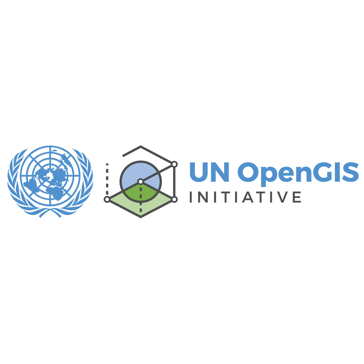
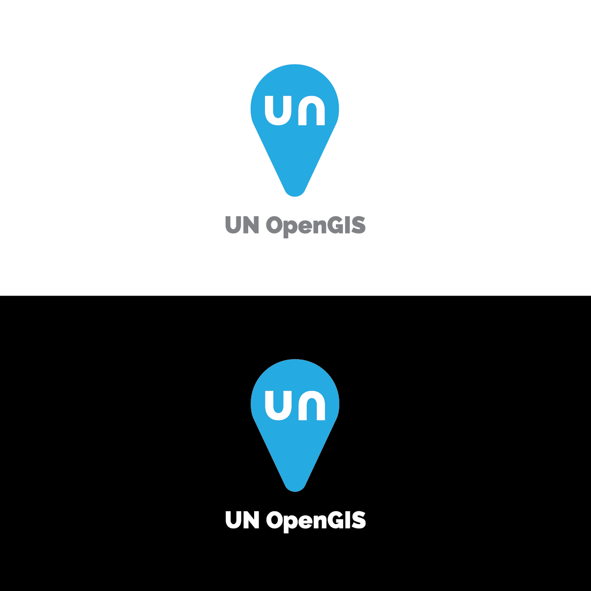
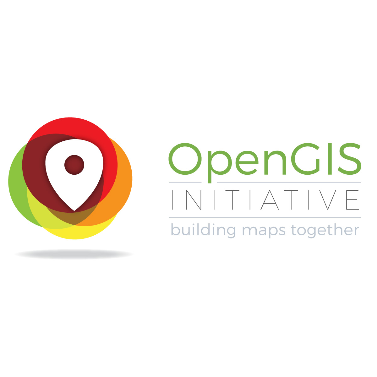
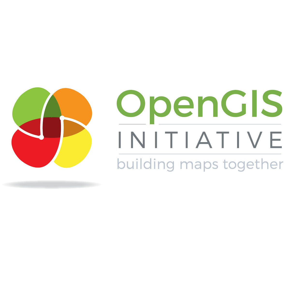
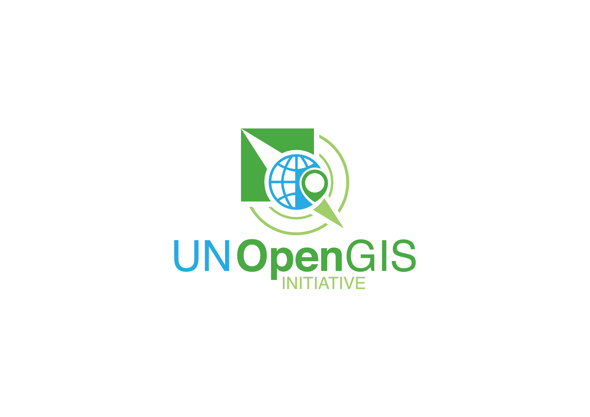
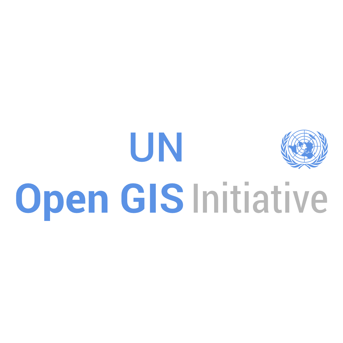
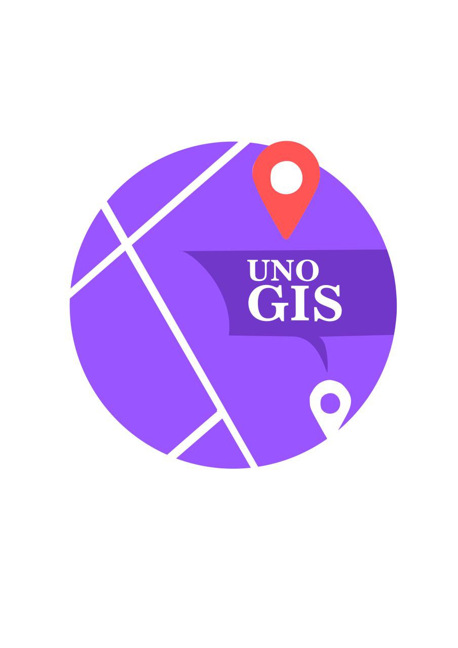
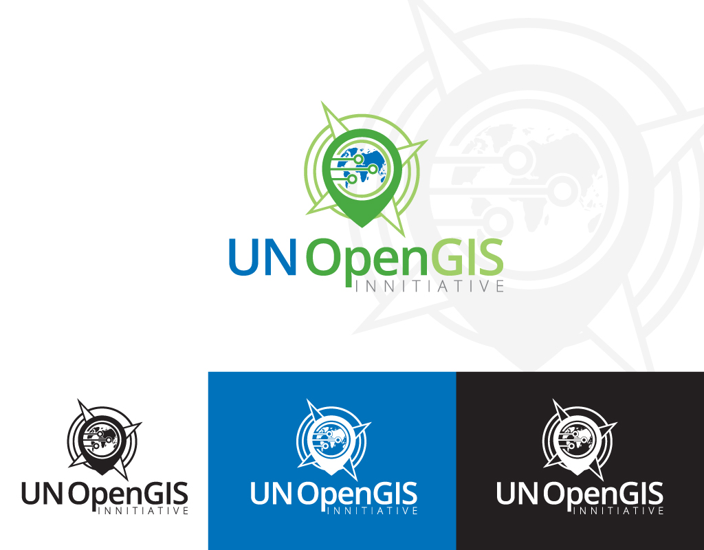
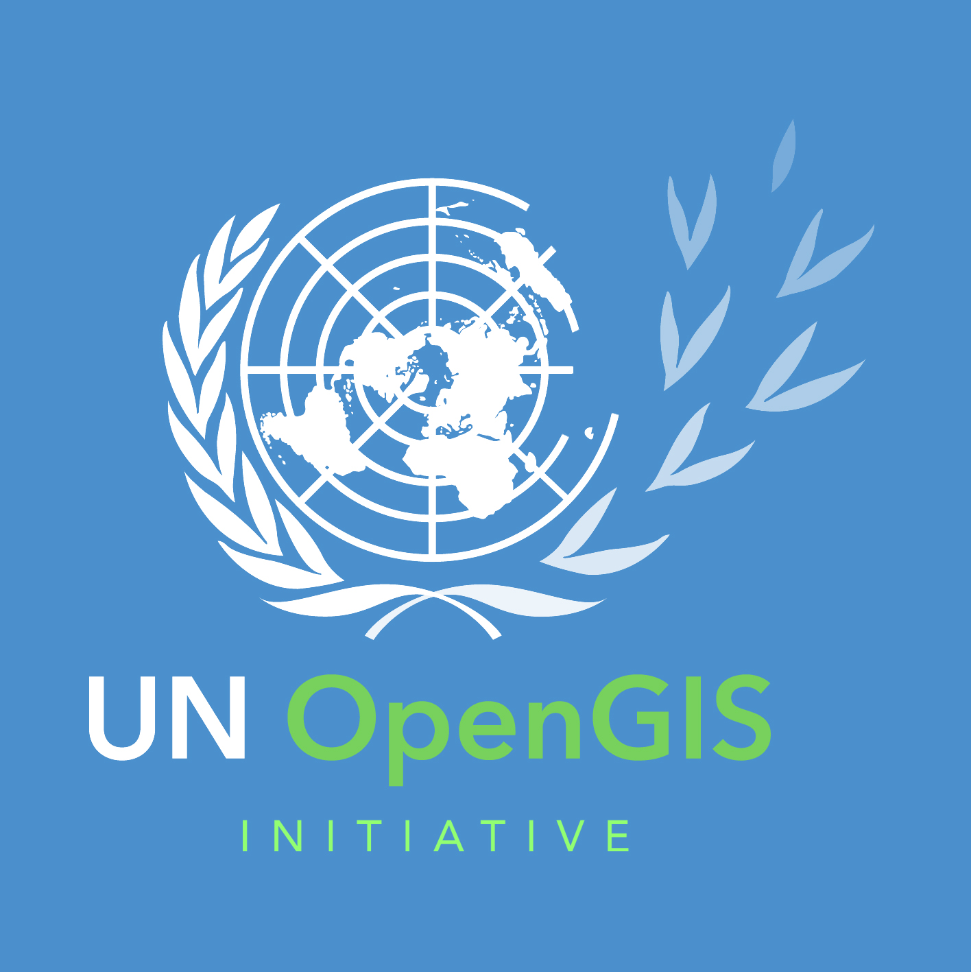
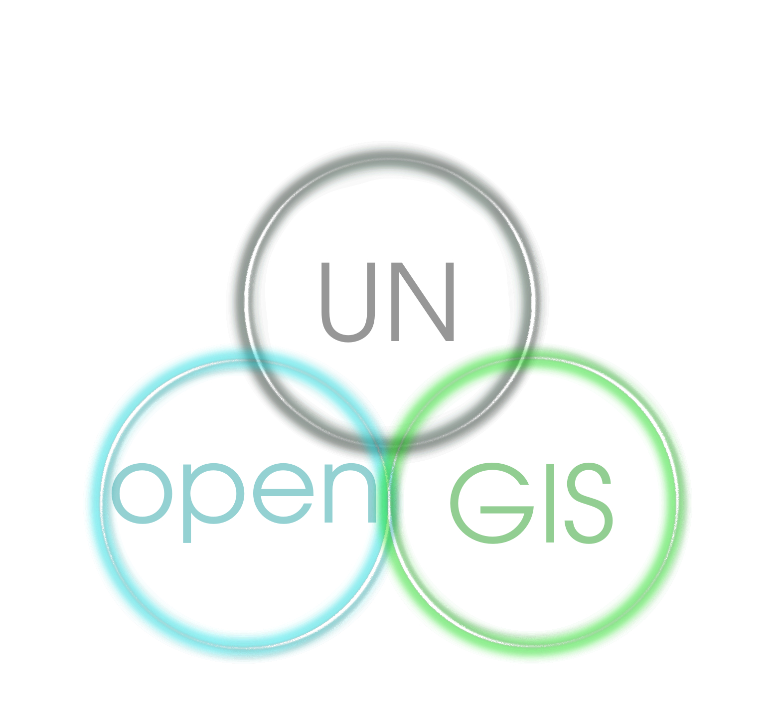
Logo Contest
OSGeo has been involved in the initiative trough the OSGeo UnitedNations Committee and is currently actively contributing to the UN open GIS initiative.
With this contest, the UnitedNations Committee would like to invite the artistic minds in our community to develop the official logo of the UN open GIS initiative.
This UN open GIS logo will be used on official documents of the UN open GIS initiative.
Anyone may submit artwork. We are looking for the best, so spread the word to your colleagues, family and friends.
The winning designer will receive a UN, OSGeo and G4A awarding certificate and her/his name will be awarded on the webpage of UN OpenGIS initiative.
Contest Parameters
All artwork must be uploaded to the OSGeo wiki and listed on this site by 11:59pm GMT, August 31st, 2016.
While designing, please keep in mind the strategy manifesto and that your design has to work as a United Nations OpenGIS initiative.
Submission Format
Upload a high resolution (at least 1200x1200 px) version of your design to the OSGeo wiki upload naming it UN_contest_XXXXX and list it on this site. Additional SVG versions will be appreciated.
Alternatively you can send the image or a link to the downloadable image directly to massimiliano[dot]cannata[at]gmail[dot]com
Legal
The United Nation will acquire ownership of the winning design by assignment of copyright, and the winning designer will disclaim any trademarks and without limitation all other rights related to the design (paperwork will be required).
By submitting a design for entry in the competition, the designer acknowledges that he/she is the person that made the design and is its rightful owner.
The designer also certifies that the design is completely original and does not infringe upon the rights of any third party and that it does not violate any copyright.
Voting
All members of UN OpenGIS initiative will be allowed to place a single vote. In the case of a tie, the UN OpenGIS's Co-Chairs will have the final say.
Details will be announced once the design has been accepted and placed online for review.
Submissions
Submitted images will be listed here

Submission 1

Submission 2

Submission 3

Submission 4

Submission 5

Submission 6

Submission 7
Submission 8

Submission 9
Submission 10

Submission 11

Submission 12

Submission 13

Submission 14

Submission 15

Submission 16

Submission 17
Submission 18
Submission 19

Submission 20

Submission 21

Submission 22

Submission 23
Submission 24

Submission 25

Submission 26

Submission 27
Submission 28

Submission 28
Submission 29

Submission 30

Submission 31

Submission 32

Submission 33

Submission 34
Sumbmission 35

Sumbmission 36

Sumbmission 37

Sumbmission 38

Sumbmission 39

Sumbmission 40
Sumbmission 41

Sumbmission 42

Sumbmission 43

Sumbmission 44

Sumbmission 45

Sumbmission 46

Sumbmission 47

Sumbmission 48

Sumbmission 49

Sumbmission 50

Sumbmission 51
Sumbmission 52


