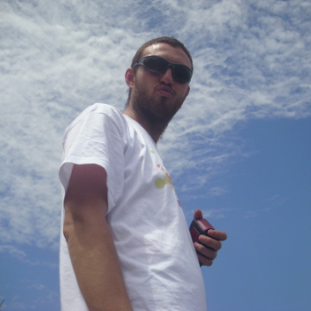
User:Lucadelu
Jump to navigation
Jump to search
Luca Delucchi
GIS Technician at GIS & Remote Sensing Unit, Fondazione Edmund Mach
Location: San Michele all'Adige (Tn), Italy
Luca graduated in Geography applied to the environment, landscape and tourism from University of Genoa (Italy) in 2008. During studies he knew GIS software and he start to use GRASS GIS and helping with translation. Later he started to work with other free and open source GIS software like PostGIS, OpenLayers, MapServer. From four years he work at Fondazione Edmund Mach, a research centre near Trento, in the GIS & Remote Sensing unit. I'm interest in all features about GIS: desktop, web, geodatabase and developing.
- OSGeo Experience
- GRASS GIS: italian translator and developer
- QGIS: I develop and maintain some plugin (OGR2Layers, qgis2kml, QuickMultiAttributeEdit)
- ZOO-project: beta tester and documentation
- pyModis: library to download and works with MODIS data
- Since February 2012, he has been a board member of GFOSS.it (Associazione Italiana per il Software Geografico Libero), the Italian OSGeo local chapter.
- Actively participating in OpenStreetMap and promoting OpenStreetMap in Italy organizing a lot of events
- Contact
- Email: lucadeluge AT gmail DOT com
- Phone (work): +39 0461615570
- Skype: lucadelu
- Spoken Language(s)
Italian (mother tongue), English, a little bit of French
- Profile last updated
2012 July 11th
