File:Fig10 excludedRoads.png
Jump to navigation
Jump to search
Size of this preview: 493 × 599 pixels. Other resolutions: 197 × 240 pixels | 2,092 × 2,542 pixels.
Original file (2,092 × 2,542 pixels, file size: 1.1 MB, MIME type: image/png)
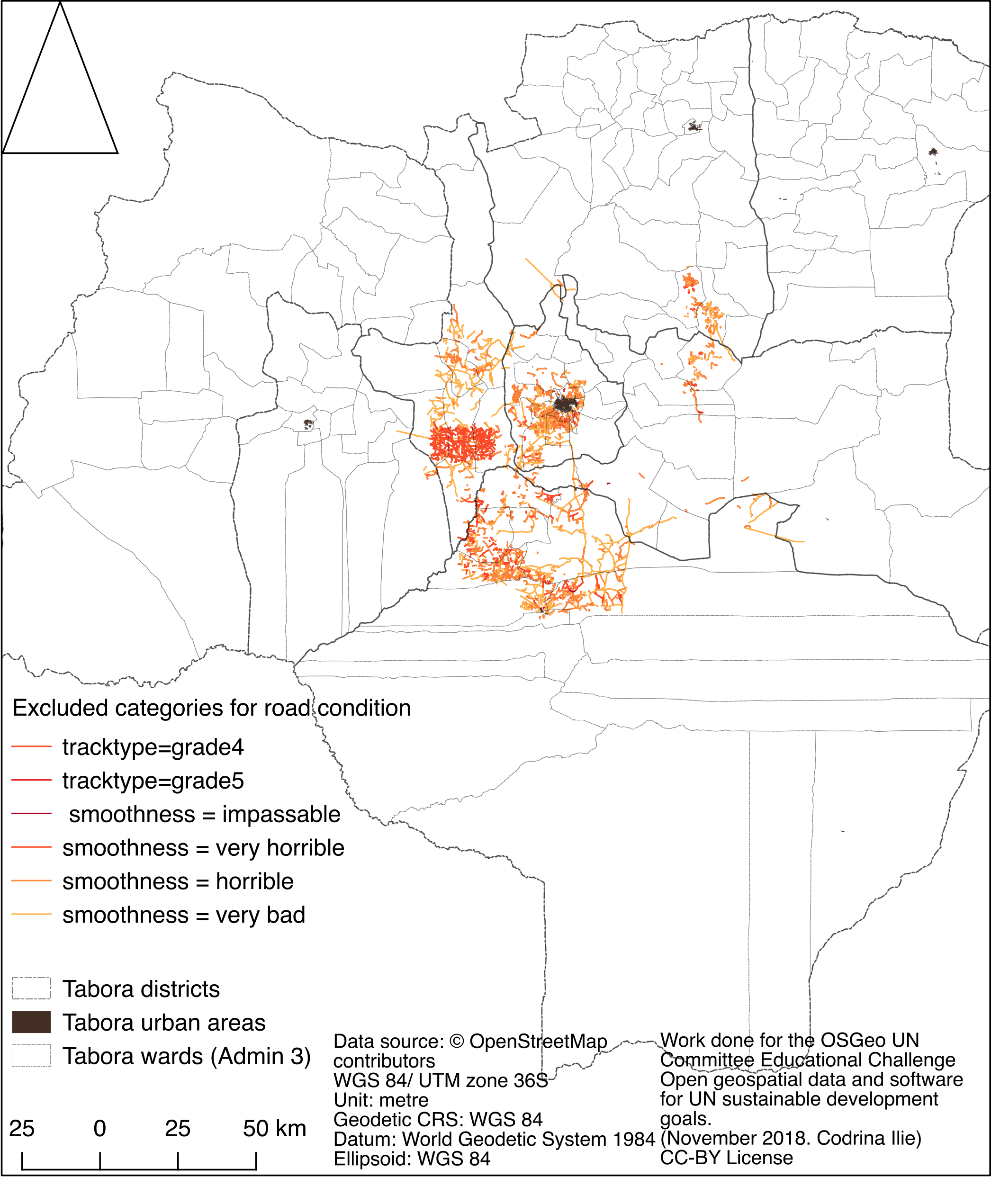
Spatial distribution of OSM roads that have been tagged as in bad condition.
File history
Click on a date/time to view the file as it appeared at that time.
| Date/Time | Thumbnail | Dimensions | User | Comment | |
|---|---|---|---|---|---|
| current | 02:51, 21 January 2019 | | 2,092 × 2,542 (1.1 MB) | Codrina (talk | contribs) | Spatial distribution of OSM roads that have been tagged as in bad condition. |
You cannot overwrite this file.
File usage
The following page uses this file: