Intergeo 2006 Report
Impressions from the Intergeo 2006
The OSGeo Foundation operated the Open Source Park of the Intergeo 2006 together with the Hinte-Messe GmbH, organizer of the exhibition and conference. Read more about the organization on the Intergeo 2006 page. There you can find the floor plan and the list of FOSS projects and businesses that appeared on the OSGeo Open Source Park.
With an exhibition area of 30 by 16 meters (95 by 50 feet) and two rest areas of 10 by 5 meter (30 by 15 feet) the OSGeo Open Source Park was one of the largest booths at the fair. The focus of the Intergeo trade show is clearly business and end customer oriented. The on and off hacker could be seen lurking around to get hooked up to the internet but mostly it was suits and users. Several thousand people (of the 15,000 total) that came ot the Intergeo also came to the OSGeo booth to pick up flyers, listen to presentations. Those who wanted to get more detailed information talked to the booth staff of roundabout 30 people from all areas of IT and FOSS GIS business. In short - it was a great success.
Open Source Park Infrastructure
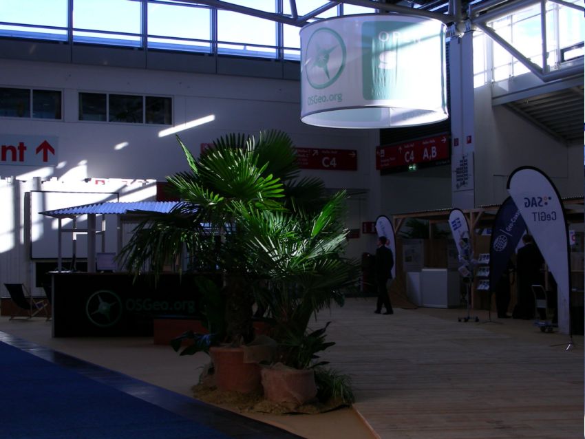
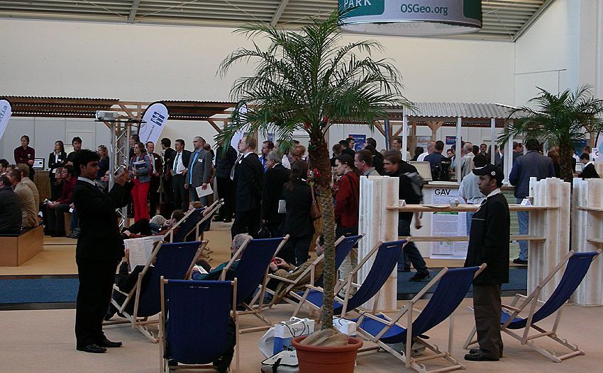
This picture is taken from the perspective of guests coming to the OSGeo Open Source Park down the main aisle. The rotunda above the exhibition area could be seen from anywhere down the hall. It shows the OSGeo compass logo, and the caption "OSGeo.org" and "Open Source Park".
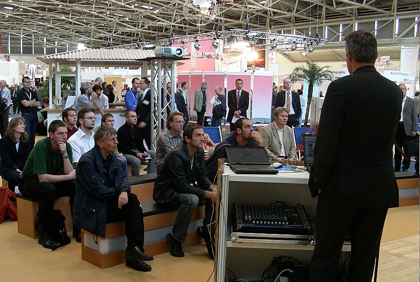
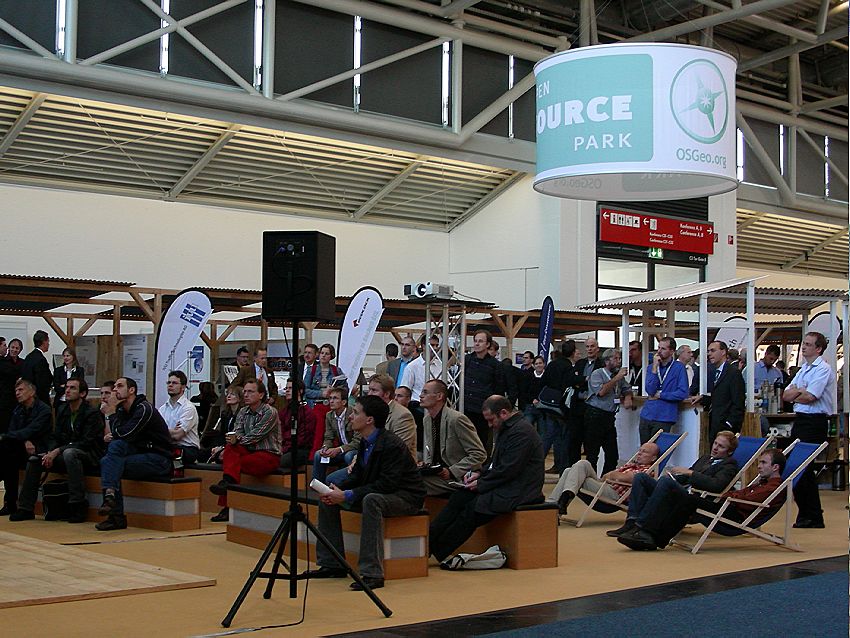
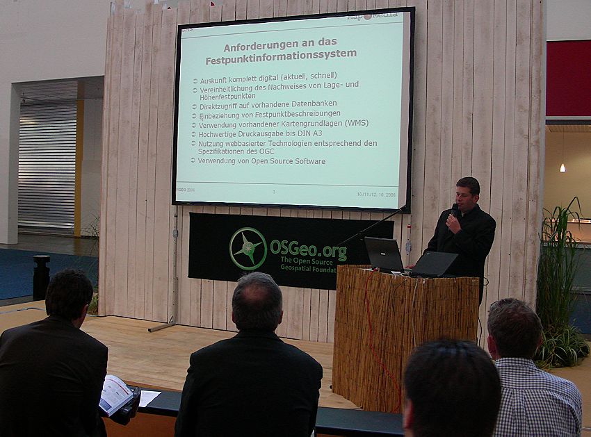
A large screen, projector, internet connection and conference speaker system was provided by the exhibiting businesses who presented their FOSS projects and services. Just like at the FOSSGIS 2006 conference a lot of users presented their productive solutions. These comprise city map services and application interfaces, state wide spatial data infrastructures or more specialized applications like the geothermal hot spot information system implemented by MapMedia with UMN MapServer technology.
The forum hosted 60 presentations in three days, a well attended event with a broad mixture of technology, Foundation issues, businesses and many productive applications that were presented by the corresponding users. Due to the FIG event, the meeting of the Federacion International de Geoinformatique held every three years, international attendance was very high, approximately one third of the presentations therefore was held in English language.
OSGeo Booth and Community Area
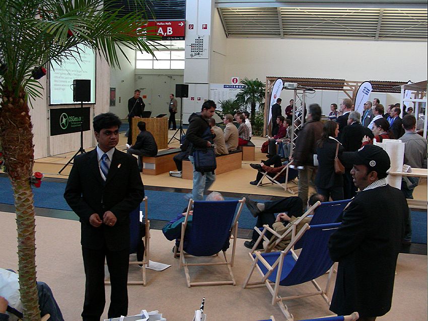
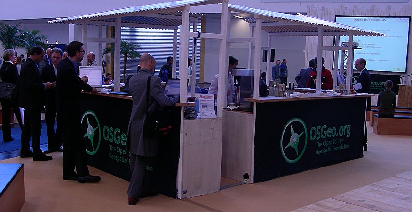
In the middle of the Free Community Area right beside the presentation forum was the main OSGeo booth.
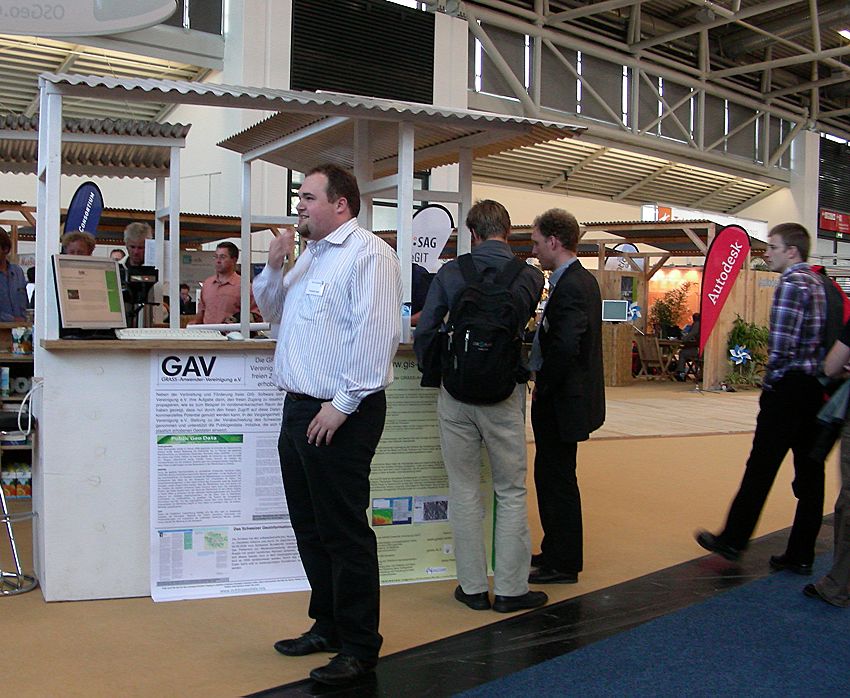
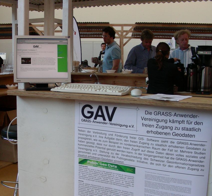
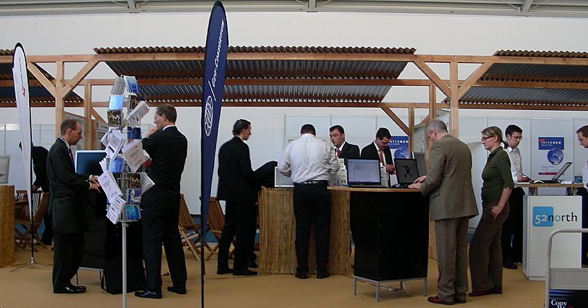
Several FOSS projects had representatives present their software and discuss with people.
The left half of the OSGeo booth was dedicated to OSGeo and FOSS projects (including presentation space and internet connectivity for free as in "free beer") and gave visitors the opportunity to talk about OSGeo in general or individual projects in detail.
The other half of the booth was commited to the physical well-being of the guests and booth staff with coffee, water, snacks etc. The consumption of 2500 cups of coffee by visitors (staff not counted) can be taken as an approximation of the number of people taking more time than to just pick up over 4000 flyers.
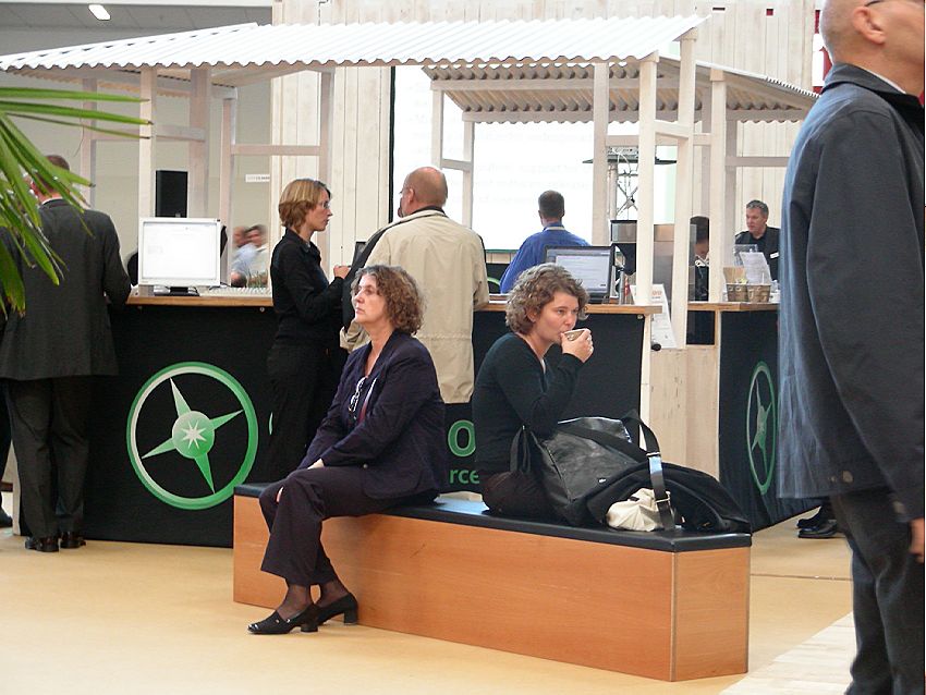
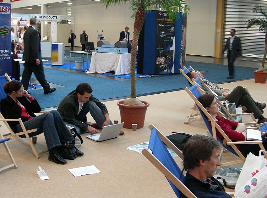
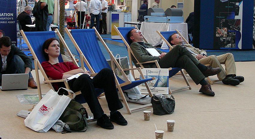
Even with a good loadful of coffee some did not follow all presentations that attentively.
Geospatial FOSS Business Exhibitors
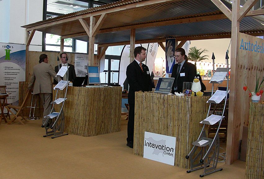
Ten service providers and businesses presented their services on the OSGeo Open Source Park. Their fianncial contribution allowed OSGeo to have a booth and provide space and connectivity to Geospatial FOSS projects. All kinds of companies were represented. Some of them into core software development, others focused on training and education, one ASP (application service provider) vendor and the global player Autodesk. Visitors could get a thorough insight on how diverse FOSS business can be.
People
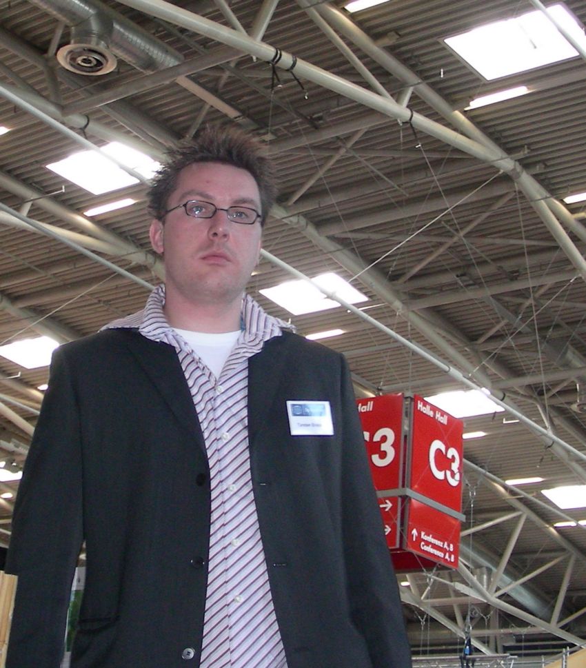
In the name of the OSGeo and all participating companies a big Thank You to all volunteers and activists who helped make the OSGeo Open Source Park this successful! A special thanks goes to Torsten Brassat and Athina Trakas who made this possible in the first place.
After Hours
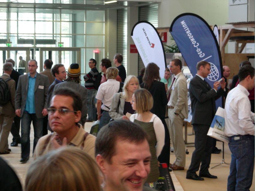
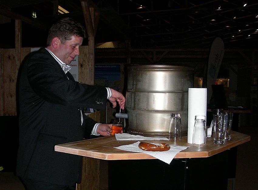
On the second day some booths traditoinally have an after hours party with people mixing from every end of the exhibition park. The Geo-Consortium sponsored two steel kegs of beer to quench one's thirst. People from all vendors strolled over to have a chat with the Open Source guys only to find out that they are friendly folks who are having fun at what they do.
Focus and Interests
The focus of the OSGeo booth at the Intergeo was on FOSS business and service providers. Interest in the software and developemt processes was far less than at the LinuxTag 2006 which makes sense considering the different focus of the events.
By far most frequently asked question by normal folk was about geodata. Lacking availability, high cost, unreal licensing conditions and complaints about not getting any geospatial data were the most emotionally discussed topics.
Next Year
It would be cool to get more developers involved at Intergeo 2007 and have an area for them to meet and collaborate face to face as it happened a lot at FOSS4G (especially GeoTools). Possibly some international folk would consider to come and talk or even have their own booth there. Geospatial Free and Open Source Software is a big thing in Europe and it is growing. It is not a hype anymore but business as usual supported by a healthy ecosystem of businesses.
