Difference between revisions of "Thomas Starnes"
Jump to navigation
Jump to search
(Bio for Thomas Starnes) |
|||
| (5 intermediate revisions by the same user not shown) | |||
| Line 1: | Line 1: | ||
{{OSGeo Member | {{OSGeo Member | ||
|Name=Mr Thomas Starnes | |Name=Mr Thomas Starnes | ||
| − | |JobTitle= | + | |JobTitle=Key Biodiversity Areas Programme Officer |
| − | |Company= | + | |Company=International Union for Conservation of Nature |
| − | |Address= | + | |Address=David Attenborough Building, Pembroke Street |
|Country=United Kingdom | |Country=United Kingdom | ||
|State=Cambridgeshire | |State=Cambridgeshire | ||
| Line 9: | Line 9: | ||
|Coordinate=52.2036, 0.12021 | |Coordinate=52.2036, 0.12021 | ||
|LocalChapter=FOSSGIS | |LocalChapter=FOSSGIS | ||
| − | |Email= | + | |Email=thomas.starnes@iucn.org |
| − | |||
|SocialMedia=@bio_carta; | |SocialMedia=@bio_carta; | ||
| + | |Photo=[[File:VpxGyB.jpeg|200px|thumb|left]] | ||
|Languages=English; | |Languages=English; | ||
| − | |Info=Spatial analyst committed to wildlife conservation and humanitarian causes. Interests in remote sensing, drones, AI, open data and | + | |Info=Spatial analyst committed to wildlife conservation and humanitarian causes. Interests in remote sensing, drones, AI, open data and data sharing. |
}} | }} | ||
{{OSGeo Experience | {{OSGeo Experience | ||
| Line 28: | Line 28: | ||
|Committer=No | |Committer=No | ||
}} | }} | ||
| + | [[Category:OSGeo_Advocate]] | ||
Latest revision as of 09:29, 11 March 2020
| OSGeo Member | ||
|---|---|---|
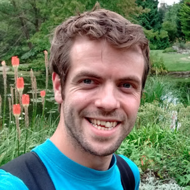
| Name: | Mr Thomas Starnes | [[File:|200px]] |
| Job Title: | Key Biodiversity Areas Programme Officer | |
| Company: | International Union for Conservation of Nature | |
| Address: | David Attenborough Building, Pembroke Street | |
| City: | Cambridge | |
| State: | Cambridgeshire | |
| Country: | United Kingdom | |
| Local Chapter: | FOSSGIS | |
| Email: | thomas.starnes@iucn.org | |
| Phone: | ||
| Instant Messaging: | ||
| Website: | ||
| Language(s): | English | |
| Personal Description : | Spatial analyst committed to wildlife conservation and humanitarian causes. Interests in remote sensing, drones, AI, open data and data sharing. | |
|
|
||
[[Photo::
| ]]
OSGeo Experience and Roles:
