Difference between revisions of "User:Helena"
Jump to navigation
Jump to search
| Line 14: | Line 14: | ||
*OSGeo charter member | *OSGeo charter member | ||
*developed and teaches graduate courses on [http://courses.ncsu.edu/mea582/common/GIST.html Geospatial Analysis and Modeling] using GRASS GIS and other FOSS4G software, offered at the NCSU as core of the [http://GIS.ncsu.edu Geospatial Information Science and Technology program] | *developed and teaches graduate courses on [http://courses.ncsu.edu/mea582/common/GIST.html Geospatial Analysis and Modeling] using GRASS GIS and other FOSS4G software, offered at the NCSU as core of the [http://GIS.ncsu.edu Geospatial Information Science and Technology program] | ||
| − | *Researched methods for terrain analysis,geospatial modeling and visualization at University of Illinois, US Army Construction Engineering Research Laboratories and NCSU. | + | *Researched methods for terrain analysis, geospatial modeling and visualization at University of Illinois, US Army Construction Engineering Research Laboratories and NCSU. |
;Contact: hmitaso@ncsu.edu | ;Contact: hmitaso@ncsu.edu | ||
Revision as of 12:53, 23 September 2012
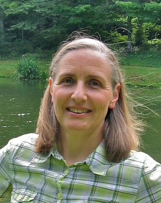
Helena Mitasova
Associate Professor at the Department of Marine, Earth and Atmospheric Sciences, North Carolina State University
Location: Raleigh, North Carolina
Helena has participated in the GRASS GIS development since 1991 and co-authored the first book on GRASS, now in its third edition. She is a member of editorial board for Transactions in GIS and Applied Geomatics and has published over 80 publications demonstrating applications of GRASS GIS. She has researched methods for terrain analysis, geospatial modeling and visualization and received a PhD from the Slovak Technical University, Bratislava, Slovakia.
- member of GRASS PSC
- member of the OSGeo conference and education committees
- OSGeo charter member
- developed and teaches graduate courses on Geospatial Analysis and Modeling using GRASS GIS and other FOSS4G software, offered at the NCSU as core of the Geospatial Information Science and Technology program
- Researched methods for terrain analysis, geospatial modeling and visualization at University of Illinois, US Army Construction Engineering Research Laboratories and NCSU.
- Contact
- hmitaso@ncsu.edu
- Spoken Languages
- English, Slovak
- Profile last updated
- 22 September 2012
