Difference between revisions of "Ben Tuttle"
Wiki-Btuttle (talk | contribs) (Benjamin Tuttle) |
m (Jmckenna moved page User:Btuttle to Ben Tuttle) |
||
| (3 intermediate revisions by one other user not shown) | |||
| Line 1: | Line 1: | ||
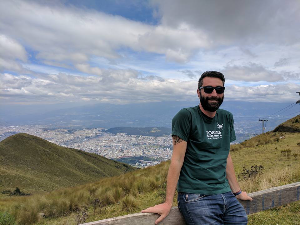
| − | BenTuttle is a R&D Technologist at the National Geospatial Intelligence Agency leading efforts to deliver Open Source Geospatial tools as core infrastructure and services for NGA and its customers across the US Federal Government. Ben is focused on development and delivery of web and mobile geospatial applications to enhance data delivery, analysis, and decision-making. He has authored and co-authored papers in journals including PE&RS, Geography Compass, GeoJournal, Environmental Management, and Remote Sensing of Environment. He is currently leading a team of developers to deliver new capabilities for first responders, search and rescue teams, security personnel, and military users while revolutionizing the underlying infrastructure | + | [[Image:Btuttle-Quito1.jpg|thumb|right|333px|At the TelefériQo]] |
| + | |||
| + | BenTuttle is a R&D Technologist at the National Geospatial Intelligence Agency leading efforts to deliver Open Source Geospatial tools as core infrastructure and services for NGA and its customers across the US Federal Government. Ben is focused on development and delivery of web and mobile geospatial applications to enhance data delivery, analysis, and decision-making. He has authored and co-authored papers in journals including PE&RS, Geography Compass, GeoJournal, Environmental Management, and Remote Sensing of Environment. He is currently leading a team of developers to deliver new capabilities for first responders, search and rescue teams, security personnel, and military users while revolutionizing the underlying infrastructure. Ben has attended and participated in numerous FOSS4G and his agency is now among the key sponsors of FOSS4G. He was on the organizing committee for FOSS4G 2011 in Denver and works to support enhancements to a number of OSGeo projects through his professional endeavors. | ||
contact: | contact: | ||
: Twitter: [http://twitter.com/bentuttle1 @bentuttle1] | : Twitter: [http://twitter.com/bentuttle1 @bentuttle1] | ||
: Linkedin: https://www.linkedin.com/in/benjamintuttle/ | : Linkedin: https://www.linkedin.com/in/benjamintuttle/ | ||
Latest revision as of 06:06, 13 September 2017
BenTuttle is a R&D Technologist at the National Geospatial Intelligence Agency leading efforts to deliver Open Source Geospatial tools as core infrastructure and services for NGA and its customers across the US Federal Government. Ben is focused on development and delivery of web and mobile geospatial applications to enhance data delivery, analysis, and decision-making. He has authored and co-authored papers in journals including PE&RS, Geography Compass, GeoJournal, Environmental Management, and Remote Sensing of Environment. He is currently leading a team of developers to deliver new capabilities for first responders, search and rescue teams, security personnel, and military users while revolutionizing the underlying infrastructure. Ben has attended and participated in numerous FOSS4G and his agency is now among the key sponsors of FOSS4G. He was on the organizing committee for FOSS4G 2011 in Denver and works to support enhancements to a number of OSGeo projects through his professional endeavors.
contact:
- Twitter: @bentuttle1
- Linkedin: https://www.linkedin.com/in/benjamintuttle/
