Difference between revisions of "User:Bencaradocdavies"
Jump to navigation
Jump to search
| Line 3: | Line 3: | ||
|JobTitle=Director | |JobTitle=Director | ||
|Company=Transient Software Limited | |Company=Transient Software Limited | ||
| − | |Address=20 Clearwater Street, Broad Bay Dunedin 9014 | + | |Address=20 Clearwater Street, Broad Bay Dunedin 9014, New Zealand |
|Country=New Zealand | |Country=New Zealand | ||
|City=Dunedin | |City=Dunedin | ||
| Line 29: | Line 29: | ||
}} | }} | ||
Ben is a software engineer and the director of Transient Software Limited, a New Zealand based provider of software development and support services with expertise in scientific, environmental, and geospatial applications. Ben contributes to and is a member of the Project Steering Committees for GeoServer, GeoTools, and OSGeo Live. | Ben is a software engineer and the director of Transient Software Limited, a New Zealand based provider of software development and support services with expertise in scientific, environmental, and geospatial applications. Ben contributes to and is a member of the Project Steering Committees for GeoServer, GeoTools, and OSGeo Live. | ||
| + | [[Category:OSGeo_Advocate]] | ||
Revision as of 14:11, 6 September 2017
| OSGeo Member | ||
|---|---|---|
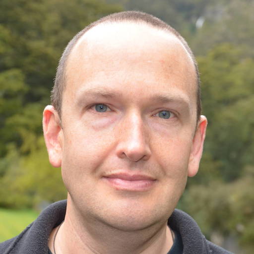
| Name: | Ben Caradoc-Davies |  |
| Job Title: | Director | |
| Company: | Transient Software Limited | |
| Address: | 20 Clearwater Street, Broad Bay Dunedin 9014, New Zealand | |
| City: | Dunedin | |
| State: | ||
| Country: | New Zealand | |
| Local Chapter: | Aust-NZ | |
| Email: | ben@transient.nz | |
| Phone: | +64 27 911 9174 | |
| Instant Messaging: | ||
| Website: | http://transient.nz/ | |
| Language(s): | English | |
| Personal Description : | ||
|
|
||
OSGeo Experience and Roles:
![]()
![]()
![]()
![]() Ben is a software engineer and the director of Transient Software Limited, a New Zealand based provider of software development and support services with expertise in scientific, environmental, and geospatial applications. Ben contributes to and is a member of the Project Steering Committees for GeoServer, GeoTools, and OSGeo Live.
Ben is a software engineer and the director of Transient Software Limited, a New Zealand based provider of software development and support services with expertise in scientific, environmental, and geospatial applications. Ben contributes to and is a member of the Project Steering Committees for GeoServer, GeoTools, and OSGeo Live.