Difference between revisions of "Mapbender"
astrid_emde (talk | contribs) |
astrid_emde (talk | contribs) |
||
| Line 3: | Line 3: | ||
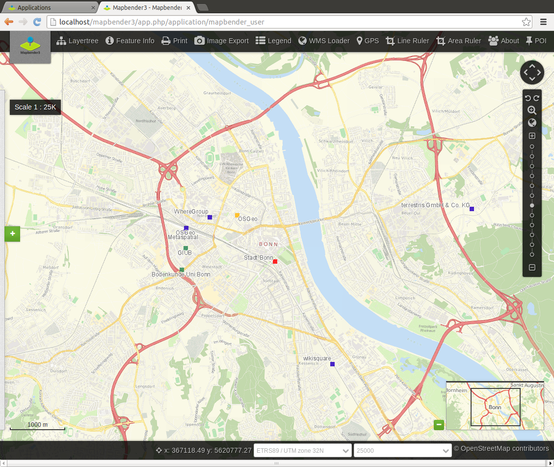
[[Image:Mapbender3_application.png|thumb|right|Mapbender application]] | [[Image:Mapbender3_application.png|thumb|right|Mapbender application]] | ||
| − | Mapbender is | + | Mapbender is a web based geoportal framework to publish, register, view, navigate, monitor and grant secure access to spatial data infrastructure services. |
| − | The software is | + | The open source software Mapbender is a contentmanagement system for geospatial data services and mapapplications. With Mapbender you can create applications without writing a single line of code. Based on state-of-the-art technologies Mapbender is a flexible clientfor OGC services. |
| + | |||
| + | The software is implemented in PHP and JavaScript and MIT. | ||
== Summary == | == Summary == | ||
Revision as of 00:59, 8 July 2019
Mapbender is a web based geoportal framework to publish, register, view, navigate, monitor and grant secure access to spatial data infrastructure services.
The open source software Mapbender is a contentmanagement system for geospatial data services and mapapplications. With Mapbender you can create applications without writing a single line of code. Based on state-of-the-art technologies Mapbender is a flexible clientfor OGC services.
The software is implemented in PHP and JavaScript and MIT.
Summary
- Project page for Mapbender: https://www.mapbender.org/
- Mailing lists: https://www.mapbender.org/?q=en/community
- Issue Tracker for Mapbender: https://github.com/mapbender/mapbender/issues
- Code repository on GitHub: https://github.com/mapbender
- https://www.osgeo.org/projects/mapbender/
- Mapbender on Twitter: https://twitter.com/mapbender
- Mapbender on Open Hub: https://www.openhub.net/p/mapbender
Gallery
Functionality
Mapbender is an SDI back end to create and maintain web based spatial applications.
End-user interfaces can be compiled from a broad selection of preconfigured modules based on jQuery and OpenLayers. Mapbender can be used to create highly focused light clients with a minimum set of modules as well as full-fledged applications with OWS security proxy, log module, digitizing with auto snapping, catalog and metadata editor components, monitoring and much more functionality.
Management interfaces help to maintain and monitor mapping and feature resources in a metadata catalog and grant access to individuals and groups. Adherence to standards, such as OGC WMS and transactional OGC WFS, make Mapbender agnostic to different brands of server software and allows to take advantage of interoperable services from various platforms.
Community
Mapbender code is implemented and maintained by developers from a diverse background and different companies.
Join the community:
- Subscribe to the mailing list


