Difference between revisions of "Toze (António José Silva)"
Jump to navigation
Jump to search
| Line 1: | Line 1: | ||
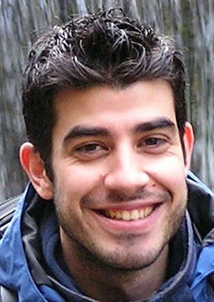
| − | [[ | + | [[Image:Toze.jpg|thumb|right|200px]] |
| + | |||
== António José Silva == | == António José Silva == | ||
* MSc in Ciência & Sistemas de Informação Geográfica | * MSc in Ciência & Sistemas de Informação Geográfica | ||
* Águeda, Portugal | * Águeda, Portugal | ||
* [http://www.openstreetmap.org/?lat=40.57345&lon=-8.44371&zoom=15&layers=M Show on OpenStreetMap] | * [http://www.openstreetmap.org/?lat=40.57345&lon=-8.44371&zoom=15&layers=M Show on OpenStreetMap] | ||
| − | |||
== Contacts == | == Contacts == | ||
Revision as of 06:23, 21 February 2011
António José Silva
- MSc in Ciência & Sistemas de Informação Geográfica
- Águeda, Portugal
- Show on OpenStreetMap
Contacts
- ajfsilva AT gmail DOT com
- Twitter user: geotoz
FOSS4G
Grupo de Trabalho OSGeo
Interests
- Geographic Information Systems (GIS)
- Geospatial Free and Open Source Software (GFOSS)
- Free and Open Source Software (FOSS)
- GFOSS in local government
- GFOSS in education
- Open Street Map (OSM)
