Difference between revisions of "Marco Minghini"
Jump to navigation
Jump to search
(Created page with "{{OSGeo Member |Name=Marco Minghini |JobTitle=Postdoctoral Research Fellow |Company=Politecnico di Milano |Address=Piazza Leonardo da Vinci 32 |Country=Italy |City=Milan |Coor...") |
|||
| Line 11: | Line 11: | ||
|SocialMedia=@MarcoMinghini; | |SocialMedia=@MarcoMinghini; | ||
|Website=http://geolab.como.polimi.it/ | |Website=http://geolab.como.polimi.it/ | ||
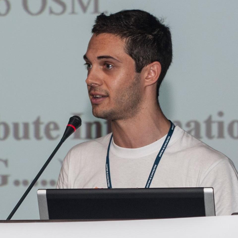
| − | |Photo= | + | |Photo=MarcoMinghini.jpg |
|Languages=Italian; English; | |Languages=Italian; English; | ||
|Info=Dr. Marco Minghini obtained a BSc degree (2008) and an MSc degree (2010), both with honors, in Environmental Engineering at Politecnico di Milano. In 2014 he obtained his PhD with merit in Environmental and Infrastructures Engineering at Politecnico di Milano with a thesis on the use of open source software, including mobile data collection and virtual globes for VGI and citizen science applications. Since 2014, he is a Postdoctoral Research Fellow at the GEOlab of Politecnico di Milano (http://geolab.como.polimi.it). Driven by the use of open source software, his current research focuses on geoWeb applications, Volunteered Geographic Information (VGI) and OpenStreetMap (OSM). He is the Secretary of ISPRS WG IV/4 "Collaborative Crowdsourced Cloud Mapping (C³M)" (http://www2.isprs.org/commissions/comm4/wg4.html), the Mentor of PoliMappers (https://polimappers.github.io), a member of the Italian OSM community and an OSGeo Charter Member. He was the Secretary of FOSS4G Europe 2015 (http://europe.foss4g.org/2015) and a regular particpant and presenter at global and local FOSS4Gs. | |Info=Dr. Marco Minghini obtained a BSc degree (2008) and an MSc degree (2010), both with honors, in Environmental Engineering at Politecnico di Milano. In 2014 he obtained his PhD with merit in Environmental and Infrastructures Engineering at Politecnico di Milano with a thesis on the use of open source software, including mobile data collection and virtual globes for VGI and citizen science applications. Since 2014, he is a Postdoctoral Research Fellow at the GEOlab of Politecnico di Milano (http://geolab.como.polimi.it). Driven by the use of open source software, his current research focuses on geoWeb applications, Volunteered Geographic Information (VGI) and OpenStreetMap (OSM). He is the Secretary of ISPRS WG IV/4 "Collaborative Crowdsourced Cloud Mapping (C³M)" (http://www2.isprs.org/commissions/comm4/wg4.html), the Mentor of PoliMappers (https://polimappers.github.io), a member of the Italian OSM community and an OSGeo Charter Member. He was the Secretary of FOSS4G Europe 2015 (http://europe.foss4g.org/2015) and a regular particpant and presenter at global and local FOSS4Gs. | ||
Revision as of 01:52, 8 September 2017
| OSGeo Member | ||
|---|---|---|
| Name: | Marco Minghini |  |
| Job Title: | Postdoctoral Research Fellow | |
| Company: | Politecnico di Milano | |
| Address: | Piazza Leonardo da Vinci 32 | |
| City: | Milan | |
| State: | ||
| Country: | Italy | |
| Local Chapter: | [[|{{{LocalChapter}}}]] | |
| Email: | marco.minghini@polimi.it | |
| Phone: | +39 02 23996409 | |
| Instant Messaging: | ||
| Website: | http://geolab.como.polimi.it/ | |
| Language(s): | Italian; English | |
| Personal Description : | Dr. Marco Minghini obtained a BSc degree (2008) and an MSc degree (2010), both with honors, in Environmental Engineering at Politecnico di Milano. In 2014 he obtained his PhD with merit in Environmental and Infrastructures Engineering at Politecnico di Milano with a thesis on the use of open source software, including mobile data collection and virtual globes for VGI and citizen science applications. Since 2014, he is a Postdoctoral Research Fellow at the GEOlab of Politecnico di Milano (http://geolab.como.polimi.it). Driven by the use of open source software, his current research focuses on geoWeb applications, Volunteered Geographic Information (VGI) and OpenStreetMap (OSM). He is the Secretary of ISPRS WG IV/4 "Collaborative Crowdsourced Cloud Mapping (C³M)" (http://www2.isprs.org/commissions/comm4/wg4.html), the Mentor of PoliMappers (https://polimappers.github.io), a member of the Italian OSM community and an OSGeo Charter Member. He was the Secretary of FOSS4G Europe 2015 (http://europe.foss4g.org/2015) and a regular particpant and presenter at global and local FOSS4Gs. | |
|
|
||
OSGeo Experience and Roles: