Difference between revisions of "Google Code In 2017 Recommendations for Students"
Jump to navigation
Jump to search
| Line 28: | Line 28: | ||
** how to connect: choose your favorite IRC client, or go directly through your web browser with [https://webchat.freenode.net/?channels=osgeo-gsoc webchat] | ** how to connect: choose your favorite IRC client, or go directly through your web browser with [https://webchat.freenode.net/?channels=osgeo-gsoc webchat] | ||
** enter a nickname and click "I am not a robot" and press "Connect" | ** enter a nickname and click "I am not a robot" and press "Connect" | ||
| − | ** upon entering, ask your questions as you wish (no need to wait, just say "hello, I have a question about the Code-In, how do..." | + | ** upon entering, ask your questions as you wish (no need to wait, just say "hello, I have a question about the Code-In, how do I..." |
== Get to know the OSGeo Community == | == Get to know the OSGeo Community == | ||
Revision as of 13:57, 10 November 2017
Welcome to OSGeo!
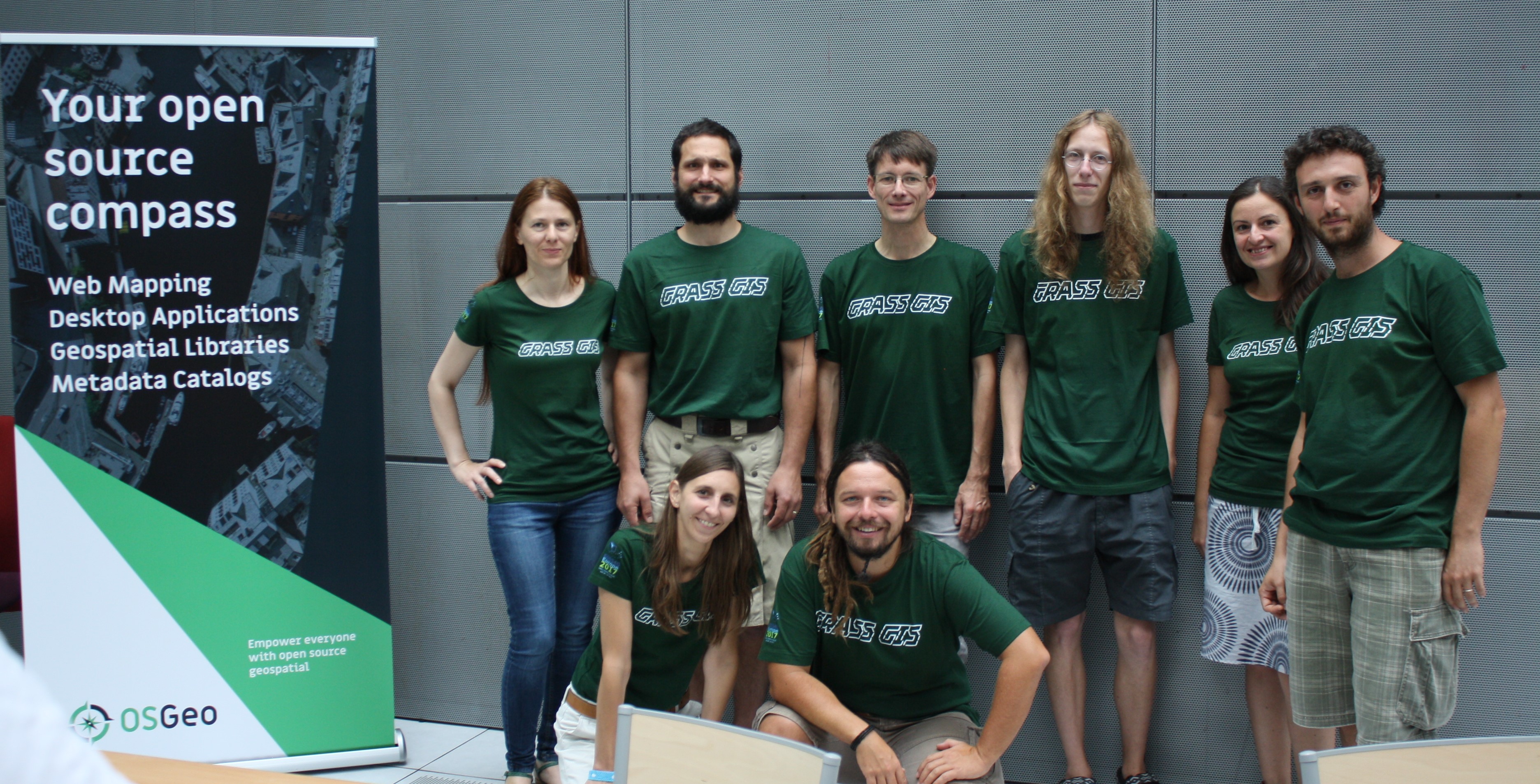
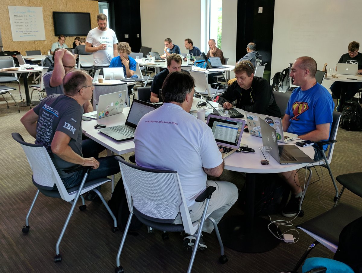
We are a fun vibrant community that believes in sharing Open Source software related to making maps.
How to ask general questions about the Code-in
Send an Email of questions
- subscribe to the "gci-discuss" mailing list here
- ask your question, and usually within a day someone from the OSGeo Code-in team (mentors or administrators) will reply
- all OSGeo mentors for the Code-in contest follow this "gci-discuss" mailing list
Ask on the #osgeo-gsoc IRC chat channel
- IRC-channel: #osgeo-gsoc channel on freenode.net
- how to connect: choose your favorite IRC client, or go directly through your web browser with webchat
- enter a nickname and click "I am not a robot" and press "Connect"
- upon entering, ask your questions as you wish (no need to wait, just say "hello, I have a question about the Code-In, how do I..."
Get to know the OSGeo Community
The OSGeo foundation ( http://osgeo.org ) was founded in the year 2006 and contains many different types of Open Source software projects to help make geographical maps.
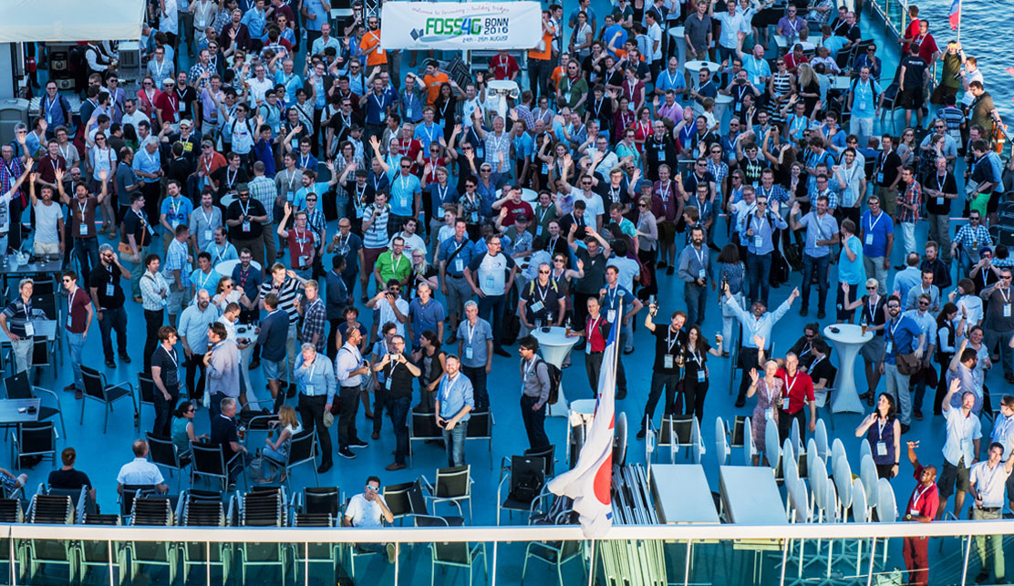
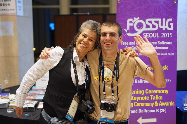
The OSGeo foundation also holds a super-fun conference each year, all over the world, named FOSS4G ( http://foss4g.org ) for Free and Open Source Software for Geospatial.

