Difference between revisions of "Israel Hiking and Biking Maps"
(→Impuct) |
|||
| Line 4: | Line 4: | ||
The project was initiated in 2014 to provide hikers and bikers with access to open maps of Israel. It also aimed at involving more volunteers in the local Open GIS community. | The project was initiated in 2014 to provide hikers and bikers with access to open maps of Israel. It also aimed at involving more volunteers in the local Open GIS community. | ||
=== Implementation === | === Implementation === | ||
| − | + | We developed an interactive [https://israelhiking.osm.org.il website]. It provided two maps based on open data (OSM + SRTM elevation data) and | |
| − | an interface for planning and sharing routes. | + | an interface for planning and sharing routes. The maps and interface were developed using open-source code. The development effort is coordinated in a dedicated [https://github.com/IsraelHikingMap GitHub page]. |
| + | |||
=== Benefit for hikers === | === Benefit for hikers === | ||
Previously, hikers relied on prohibitively-priced government-issued printed maps of hiking paths in Israel. This limited the access of economically disadvantaged populations to nature trails. Now everybody can use the free maps on smartphones or print them out. | Previously, hikers relied on prohibitively-priced government-issued printed maps of hiking paths in Israel. This limited the access of economically disadvantaged populations to nature trails. Now everybody can use the free maps on smartphones or print them out. | ||
Revision as of 04:11, 24 July 2018
Initial Aims
The project was initiated in 2014 to provide hikers and bikers with access to open maps of Israel. It also aimed at involving more volunteers in the local Open GIS community.
Implementation
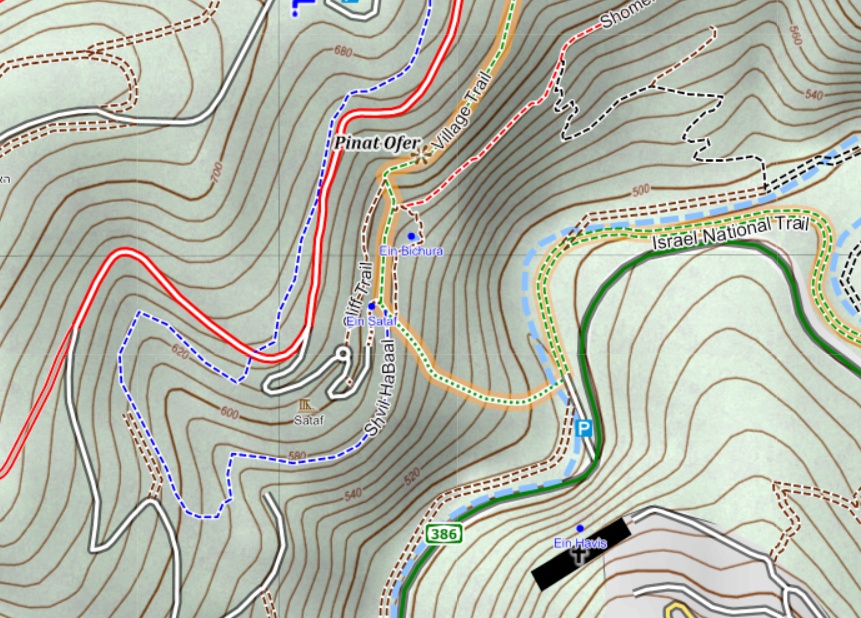
We developed an interactive website. It provided two maps based on open data (OSM + SRTM elevation data) and an interface for planning and sharing routes. The maps and interface were developed using open-source code. The development effort is coordinated in a dedicated GitHub page.
Benefit for hikers
Previously, hikers relied on prohibitively-priced government-issued printed maps of hiking paths in Israel. This limited the access of economically disadvantaged populations to nature trails. Now everybody can use the free maps on smartphones or print them out.
Benefit for bikers
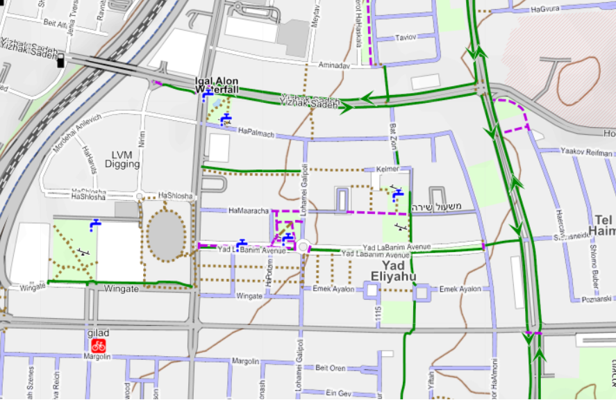
Our map marks bike paths in cities and safer streets for cycling. Allowing cyclists to plan safer commuting routes within dense cities in Israel. Grading of mountain bike trails is also shown.
Volunteers
So far the planning and coding of the maps and user interface relied on a core of three volunteers who communicate and meet regularly, helped by several occasional contributors. All development has been pro-bono.
Mapping community
The project has attracted a devout community of mappers to contribute to open GIS data. Our supporters exchange ideas, tips and suggestions in a Facebook group (Hebrew) with over 3000 members. A face-to-face training meeting and a mapping party has been organized and well-attended in 2017 and 2018.
Impact
Our site now attracts around 40,000 views per month. Many more use our open maps within various navigation apps or presented in collaborating websites. This open alternative now pushes government agencies to rethink their closed-garden approach to geo-data, and release some of it under open licenses.
International scaling effort
We would like the site to go international. The benefits the site provides are by no means regionally-restricted. We have already provided an English version of the maps and interface. More volunteer work is needed to translate documentation and to adapt the infrastructure to world-wide coverage. We would need funds to purchase server space on a globally dispersed service.

