Difference between revisions of "User:Mcollombin"
Jump to navigation
Jump to search
Mcollombin (talk | contribs) |
Mcollombin (talk | contribs) |
||
| Line 17: | Line 17: | ||
|Info= With a background in geology, Maxime is passionate about the challenges of interoperability in the field of geographic information—whether legal, organizational, semantic, or technical. His research interests naturally lead him to explore OSGeo open-source softwares and open standards. Maxime is one of the editors of the [https://github.com/opengeospatial/styles-and-symbology OGC Cartographic Symbology standard], currently in development. He is also an active member of the [https://www.ech.ch/fr/node/579315 eCH association's expert group on geographic information]. | |Info= With a background in geology, Maxime is passionate about the challenges of interoperability in the field of geographic information—whether legal, organizational, semantic, or technical. His research interests naturally lead him to explore OSGeo open-source softwares and open standards. Maxime is one of the editors of the [https://github.com/opengeospatial/styles-and-symbology OGC Cartographic Symbology standard], currently in development. He is also an active member of the [https://www.ech.ch/fr/node/579315 eCH association's expert group on geographic information]. | ||
}} | }} | ||
| + | |||
| + | [[Category:OSGeo Member]] | ||
| + | [[Category:OSGeo Advocate]] | ||
Revision as of 23:35, 17 September 2024
| OSGeo Member | ||
|---|---|---|
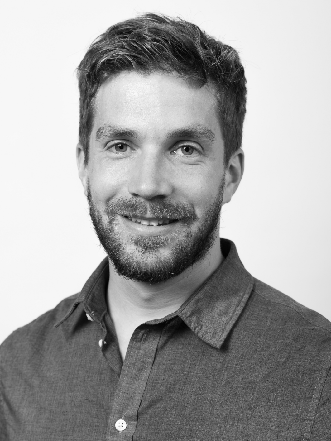
| Name: | Maxime Collombin |  |
| Job Title: | Research Collaborator | |
| Company: | University of Applied Sciences Western Switzerland (HEIG-VD) | |
| Address: | ||
| City: | Les Avants | |
| State: | ||
| Country: | Switzerland | |
| Local Chapter: | [[|]] | |
| Email: | maxime.collombin@netplus.ch | |
| Phone: | ||
| Instant Messaging: | ||
| Website: | ||
| Language(s): | English, French, German | |
| Personal Description : | With a background in geology, Maxime is passionate about the challenges of interoperability in the field of geographic information—whether legal, organizational, semantic, or technical. His research interests naturally lead him to explore OSGeo open-source softwares and open standards. Maxime is one of the editors of the OGC Cartographic Symbology standard, currently in development. He is also an active member of the eCH association's expert group on geographic information. | |
|
|
||
[[Info::With a background in geology, Maxime is passionate about the challenges of interoperability in the field of geographic information—whether legal, organizational, semantic, or technical. His research interests naturally lead him to explore OSGeo open-source softwares and open standards. Maxime is one of the editors of the OGC Cartographic Symbology standard, currently in development. He is also an active member of the eCH association's expert group on geographic information.| ]]