Difference between revisions of "Toze (António José Silva)"
Jump to navigation
Jump to search
| Line 33: | Line 33: | ||
* Volunteered Geographic Information (VGI) | * Volunteered Geographic Information (VGI) | ||
* WebGIS | * WebGIS | ||
| + | * OpenStreetMap | ||
[[Category:Portugal]] | [[Category:Portugal]] | ||
Revision as of 17:09, 6 November 2012
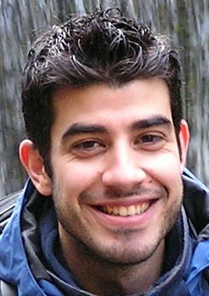
António José Silva
- PhD student in Statistics and Information Management
- MSc in Science and Geographic Information Systems
- Lic in Information Technologies, branch in Geographic Information Technologies
- Bsc in Geographic Engineering (Geomatics Engineering)
- Águeda, Portugal
- Show on OpenStreetMap
Contacts
- ajfsilva AT gmail DOT com
- Twitter user: geotoz
- OSM
OSGeo PT - OSGeo Portuguese Local Chapter
- Charter Member
Vamos Mapear Portugal
Grupo de Trabalho OSGeo
Interests
- Geographic Information Systems (GIS)
- Geospatial Free and Open Source Software (GFOSS)
- Free and Open Source Software (FOSS)
- GFOSS in local government
- GFOSS in education
- Open Street Map (OSM)
- Geospatial Crowdsourcing
- Volunteered Geographic Information (VGI)
- WebGIS
- OpenStreetMap
