File:2012-Top10NL-Almere-jwstyle.jpg
Revision as of 12:51, 10 February 2012 by Wiki-Jwva (talk | contribs) (Top10NL, Almere. Op basis van de GML open geodata van de Top10NL (basisregistratie Topografie, Kadaster 2011), vrijgegeven door Kadaster op 1-1-2012 onder de Creative Commons BY licentie. Samenstelling en kleurenschema: Jan-Willem van Aalst)
Size of this preview: 644 × 600 pixels. Other resolutions: 258 × 240 pixels | 2,334 × 2,174 pixels.
Original file (2,334 × 2,174 pixels, file size: 2 MB, MIME type: image/jpeg)
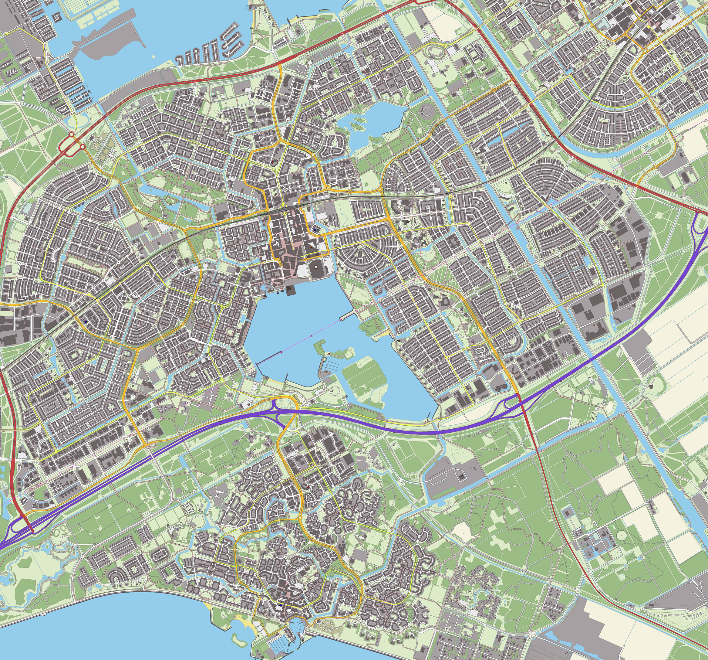
Top10NL, Almere. Op basis van de GML open geodata van de Top10NL (basisregistratie Topografie, Kadaster 2011), vrijgegeven door Kadaster op 1-1-2012 onder de Creative Commons BY licentie. Samenstelling en kleurenschema: Jan-Willem van Aalst
File history
Click on a date/time to view the file as it appeared at that time.
| Date/Time | Thumbnail | Dimensions | User | Comment | |
|---|---|---|---|---|---|
| current | 08:21, 11 February 2012 | | 2,334 × 2,174 (2 MB) | Wiki-Jwva (talk | contribs) | Car parking areas + slightly larger zoom level |
| 12:51, 10 February 2012 | 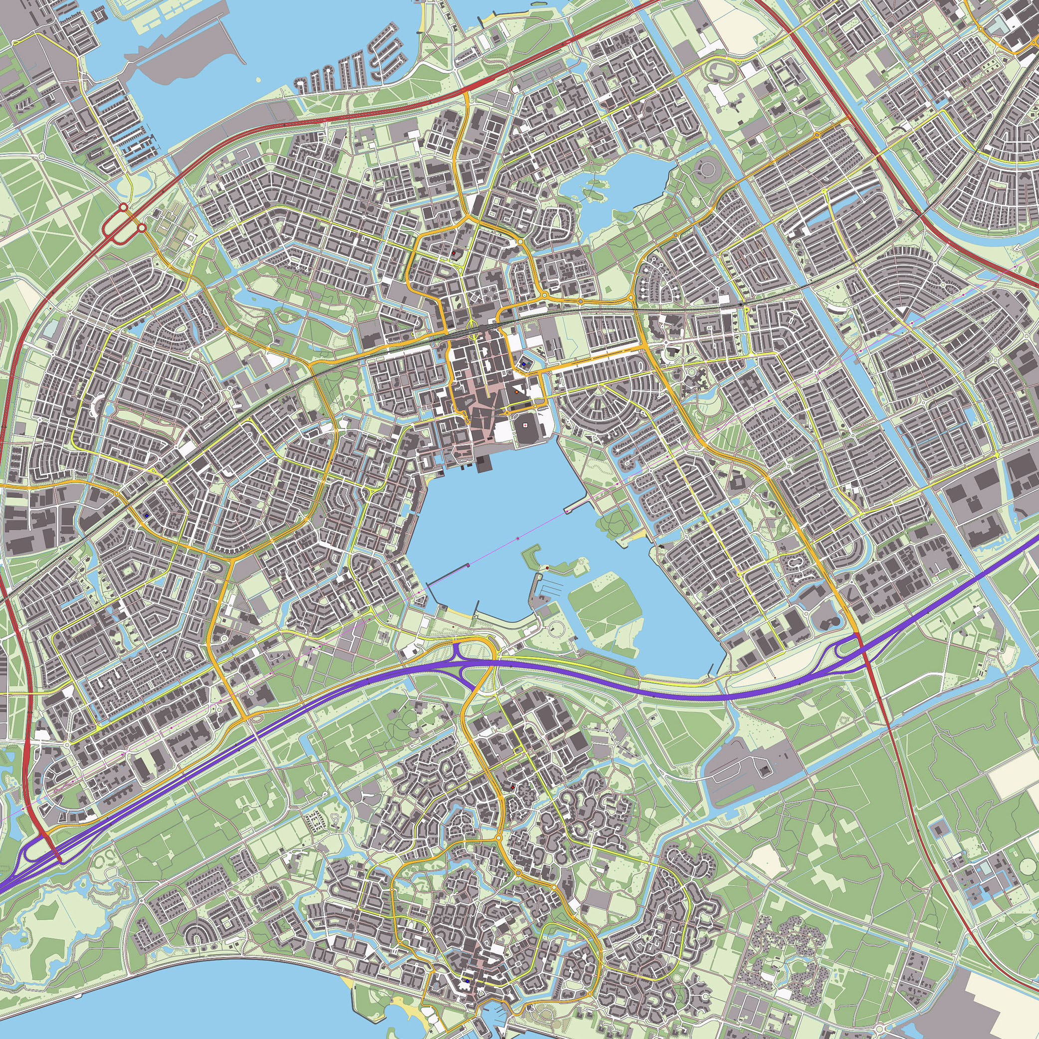 | 2,083 × 2,083 (1.75 MB) | Wiki-Jwva (talk | contribs) | Top10NL, Almere. Op basis van de GML open geodata van de Top10NL (basisregistratie Topografie, Kadaster 2011), vrijgegeven door Kadaster op 1-1-2012 onder de Creative Commons BY licentie. Samenstelling en kleurenschema: Jan-Willem van Aalst |
You cannot overwrite this file.
File usage
The following page uses this file: