File:Censipam drones.jpeg
Jump to navigation
Jump to search
Size of this preview: 450 × 600 pixels. Other resolutions: 180 × 240 pixels | 768 × 1,024 pixels.
Original file (768 × 1,024 pixels, file size: 80 KB, MIME type: image/jpeg)
Summary
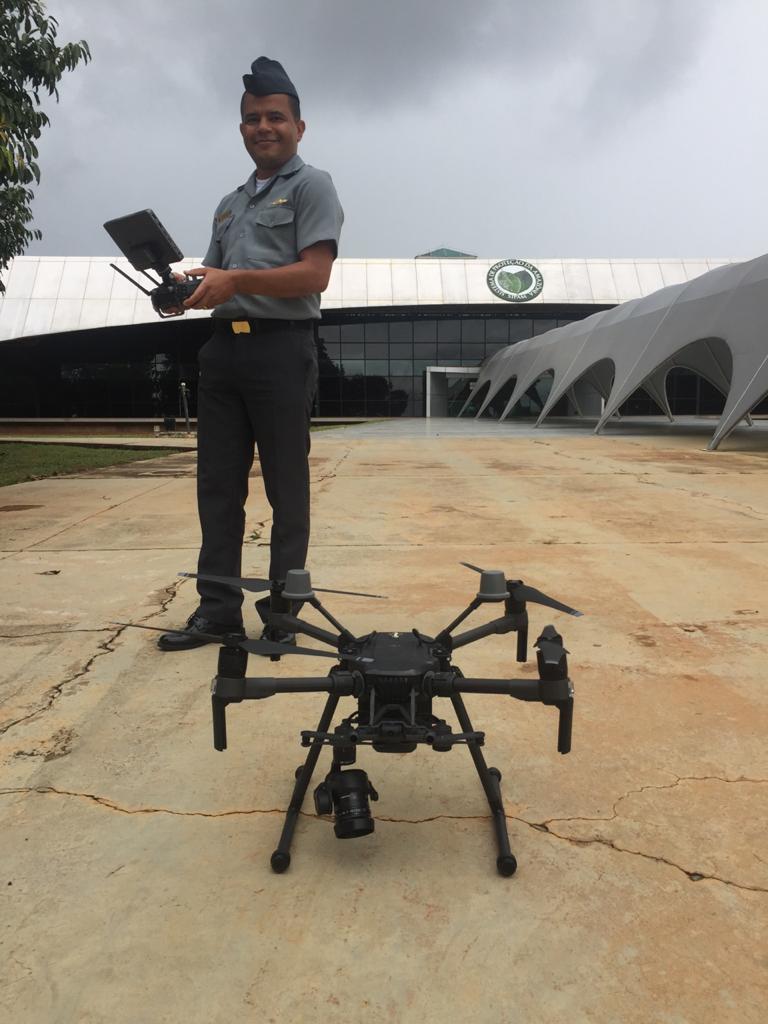
Censipam Done Mapping
File history
Click on a date/time to view the file as it appeared at that time.
| Date/Time | Thumbnail | Dimensions | User | Comment | |
|---|---|---|---|---|---|
| current | 19:26, 21 May 2025 | | 768 × 1,024 (80 KB) | 1520gis (talk | contribs) | Censipam Done Mapping |
You cannot overwrite this file.
File usage
The following file is a duplicate of this file (more details):
There are no pages that use this file.