Difference between revisions of "EbRIM"
Wiki-Normanb (talk | contribs) |
Wiki-Normanb (talk | contribs) |
||
| Line 30: | Line 30: | ||
Drill down and find the organisation, contact info, fees, access constraints, datasets and extents offered by this service | Drill down and find the organisation, contact info, fees, access constraints, datasets and extents offered by this service | ||
| + | |||
| + | *** Search by keywords | ||
| + | [[Image:KeywordsSearch.JPG]] | ||
=== Discover Use Case === | === Discover Use Case === | ||
Revision as of 20:34, 20 March 2007
ebRIM
Introduction
This is a discussion of how a user (developer or end user) would use an ebRIM catalog for a simple use case and will hopefully assist the reader in evaluating the usefulness of the ebRIM metadata catalog. It is intentionally going to focus on the use case, rather than the technology involved. The only mention of technology buzzwords will be now in mentioning that the ebXML documents can be generated using a XSL stylesheet from OGC W*S services, and Omar can be interfaced using SOAP, JAXR, or a RESTful KVPs. Technical comments will be in italics.
Full details on setting up ebxmlrr (omar) with the ogc profile and PostGIS are available here http://ebxmlrr.sourceforge.net/wiki/index.php/Community/ogc
Rather than going into usual use case scenarios of pre/post conditions, basic flow and alternative flows this document will story board the use case basic flow using screenshots from Omar.
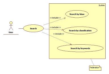
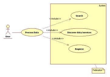
Search Use Case
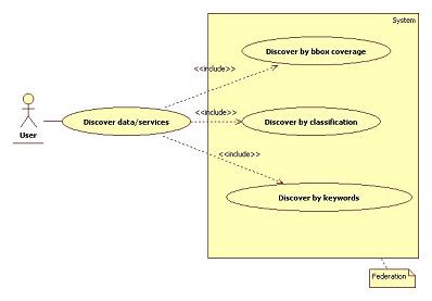
- Search
- Search by bbox
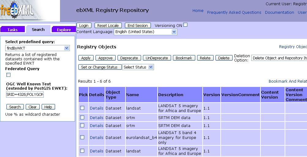
Using the gml:EnvelopeType slot for a ebRIM extrinsic object (a dataset in this case!) we have a trigger in PostGIS to create a spatial index for optimising geometric search. A custom adhoc query allows searching the metadata catalog with any geometry that can be expressed in (extended) well known text.
- Specify search by using an adhoc findByWKT query and list the results
Drill down and find the service offering the data
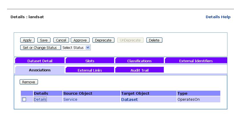
Find the service, organisation, contact info, fees, access constraints, extents offering this dataset.
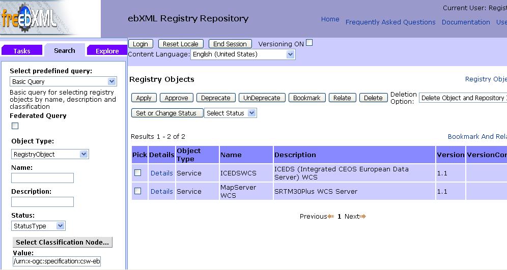
- Search by classification
Perform a service search based on a ISO 19119 Geographic services taxonomy classification /urn:x-ogc:specification:csw-ebrim:ClassificationScheme:ISO-19119:Services/2000/2300/OGC-WCS
Drill down and find the organisation, contact info, fees, access constraints, datasets and extents offered by this service
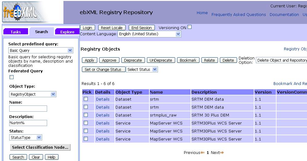
- Search by keywords
