File list
Jump to navigation
Jump to search
This special page shows all uploaded files.
| Date | Name | Thumbnail | Size | User | Description | Versions |
|---|---|---|---|---|---|---|
| 04:03, 17 October 2006 | Initialise.png (file) |  |
11 KB | Wiki-Camerons | 1 | |
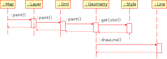
| 04:03, 17 October 2006 | Paint.png (file) |  |
6 KB | Wiki-Camerons | 1 | |
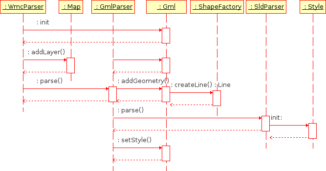
| 04:03, 17 October 2006 | Parsers.png (file) |  |
15 KB | Wiki-Camerons | 1 | |
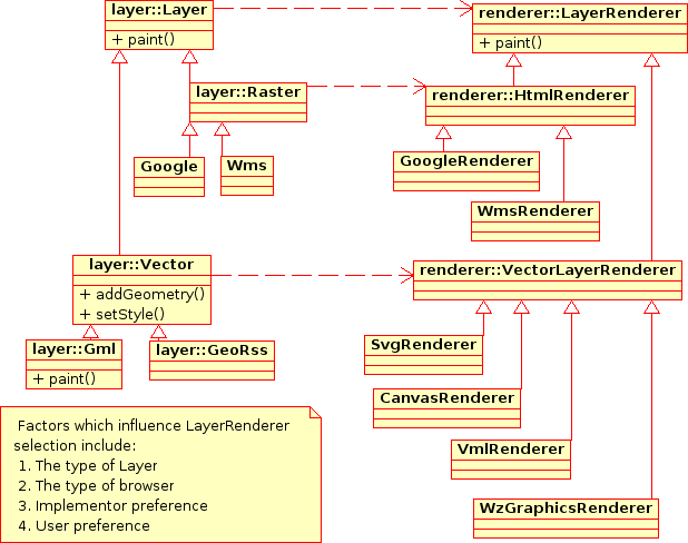
| 04:04, 17 October 2006 | Renderer.png (file) |  |
30 KB | Wiki-Camerons | 1 | |
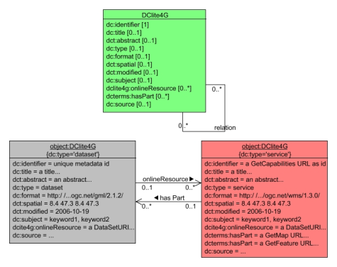
| 15:21, 20 October 2006 | DClite4G.png (file) |  |
91 KB | Wiki-Sfkeller | 5 | |
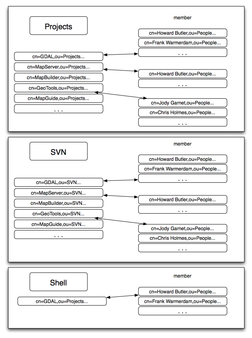
| 11:35, 29 October 2006 | Osgeo ldap.png (file) |  |
192 KB | Wiki-Hobu | 2 | |
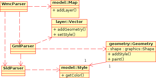
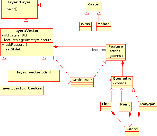
| 22:46, 31 October 2006 | VectorLayers.png (file) |  |
23 KB | Wiki-Camerons | 3 | |
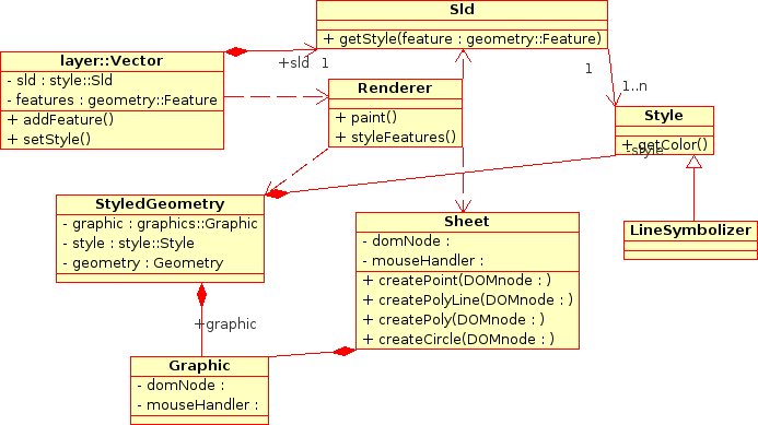
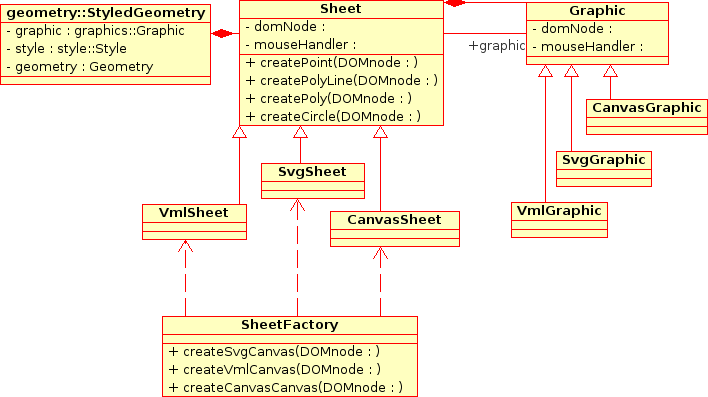
| 17:35, 1 November 2006 | Styling.png (file) |  |
33 KB | Wiki-Camerons | Changed Canvas to Sheet | 4 |
| 17:39, 1 November 2006 | Graphics.png (file) |  |
32 KB | Wiki-Camerons | Changed Canvas to Sheet | 5 |
| 07:22, 4 November 2006 | XTR2.jpg (file) |  |
16 KB | Wiki-Tomfukushima | Tom Fukushima's icon | 1 |
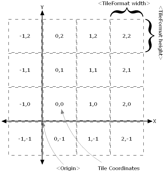
| 21:35, 16 November 2006 | Tms.png (file) |  |
8 KB | Pramsey | 1 | |
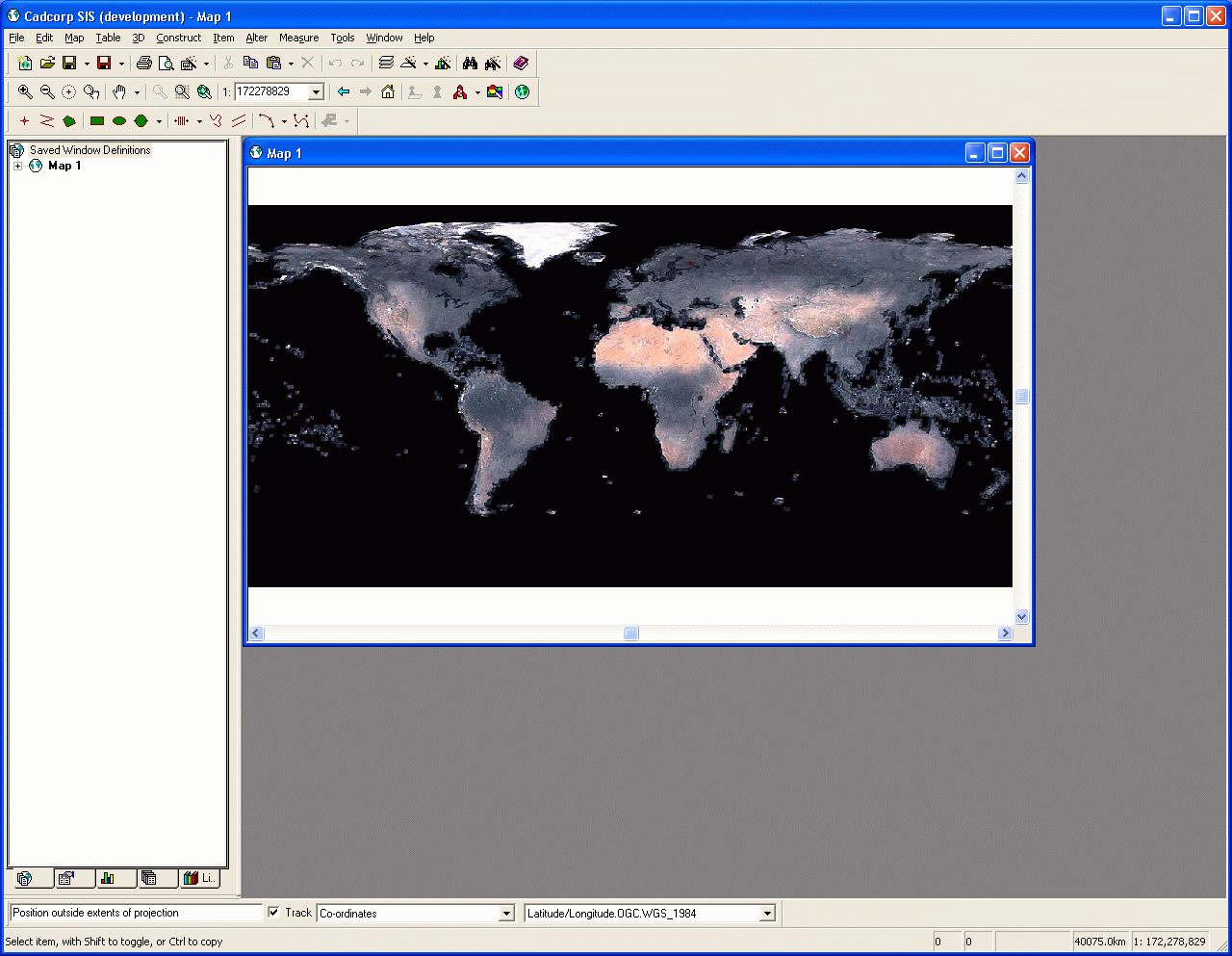
| 06:17, 17 November 2006 | CadcorpTmsClient.png (file) |  |
195 KB | Wiki-Mpd | 1 | |
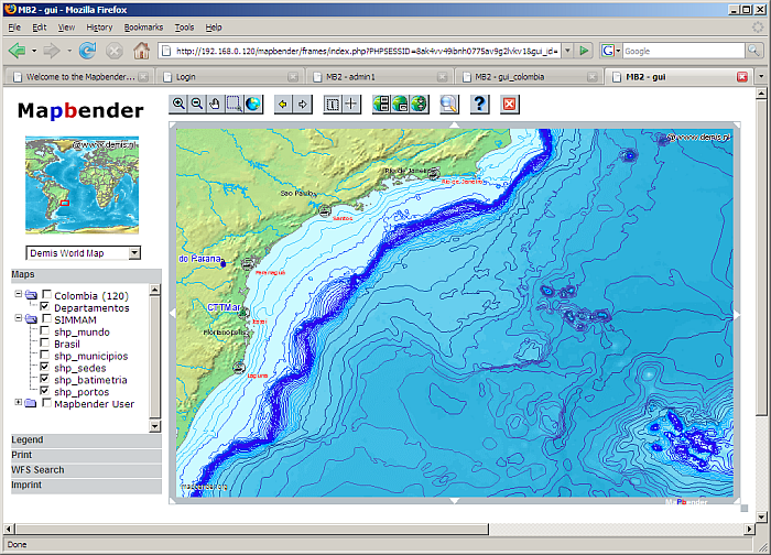
| 06:29, 9 December 2006 | Brazil batimetria.png (file) |  |
397 KB | Arnulf | Batimetria from Brazil as demo MapServer WMS | 1 |
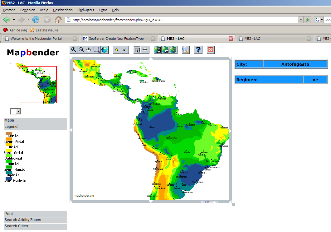
| 06:35, 9 December 2006 | Latin american carribbean.jpg (file) |  |
414 KB | Arnulf | this is a screenhsot for a WebSIG course | 1 |
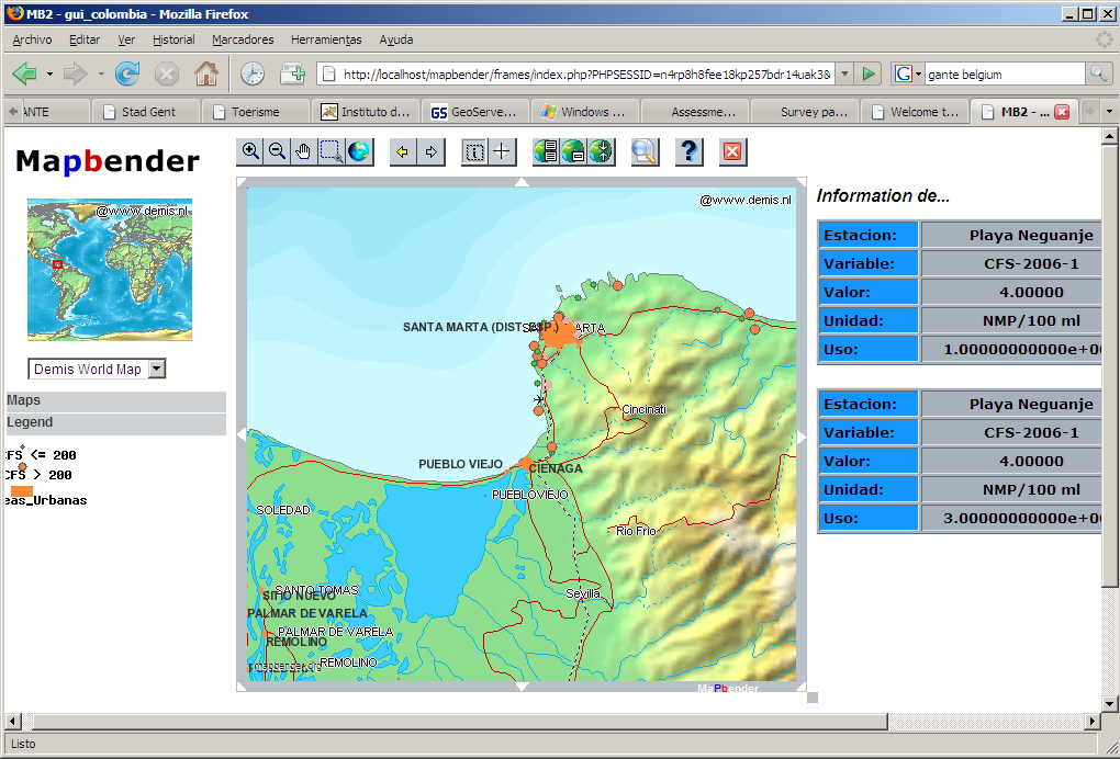
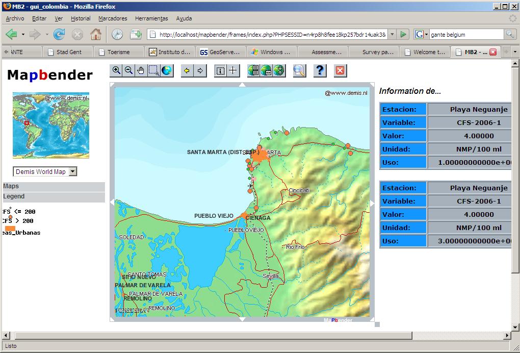
| 06:48, 9 December 2006 | MICROBIOLOGIC WATER QUALITY COLOMBIA.PNG (file) |  |
173 KB | Wiki-Ljarias | Mapa de calidad microbiologica de las aguas marinas en Colombia | 1 |
| 06:52, 9 December 2006 | MICROBIOLOGIC WATER QUALITY COLOMBIA.JPG (file) |  |
132 KB | Wiki-Ljarias | Mapa de calidad microbiologica de las aguas marinas y costeras de Colombia | 1 |
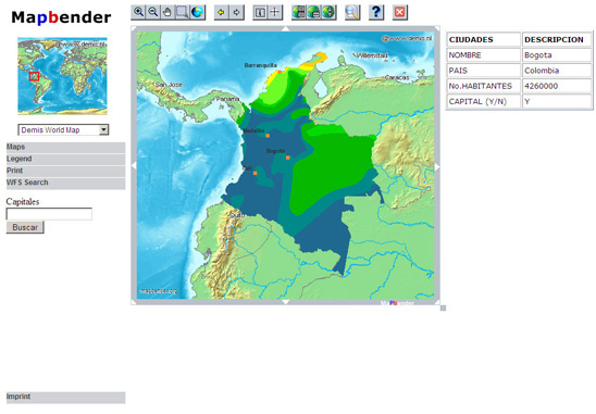
| 07:45, 9 December 2006 | ColombiaZA.jpg (file) |  |
98 KB | Wiki-Rubyvi | 4 | |
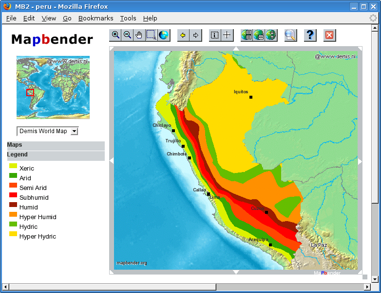
| 07:51, 9 December 2006 | Zonas aridas del peru.png (file) |  |
328 KB | Arnulf | pantalla con legenda | 2 |
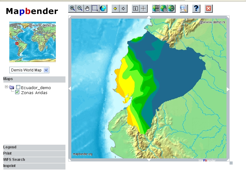
| 09:04, 9 December 2006 | Ecuador.JPG (file) |  |
276 KB | Wiki-Kbriones | 2 | |
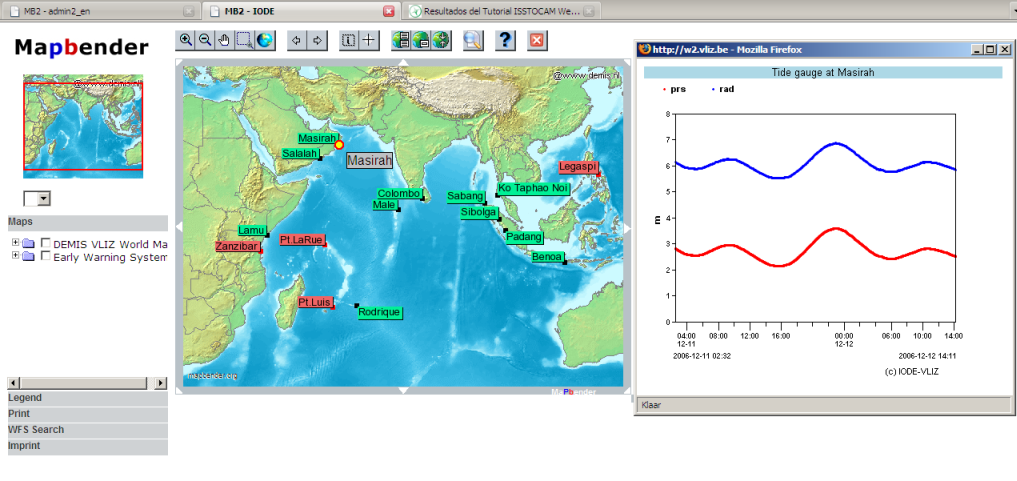
| 07:38, 12 December 2006 | Printscreen.png (file) |  |
325 KB | Wiki-Pieterdeckers | Overview of the Tsunami Warning System in the Indian Ocean using Mapbender | 1 |
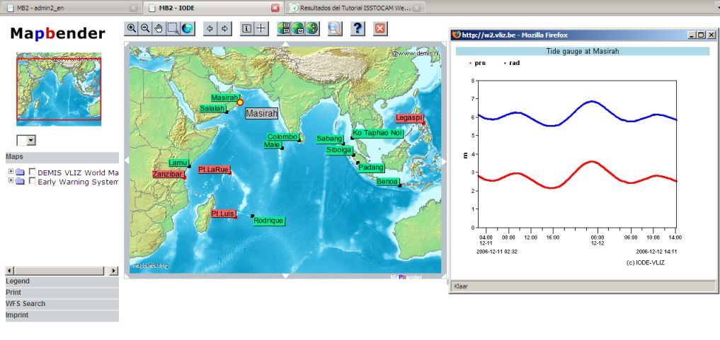
| 07:42, 12 December 2006 | Indianocean.jpg (file) |  |
78 KB | Wiki-Pieterdeckers | An overview of the Tsunami Warning System in the Indian Ocean | 1 |
| 07:48, 12 December 2006 | Indianocean.JPG (file) |  |
78 KB | Wiki-Pieterdeckers | An overview of the Tsunami Warning System in the Indian Ocean. | 1 |
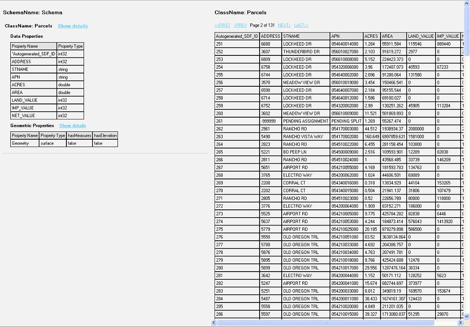
| 12:24, 12 December 2006 | Data Display.JPG (file) |  |
140 KB | Wiki-Rexszeto | Screenshot view of the data from the feature class | 1 |
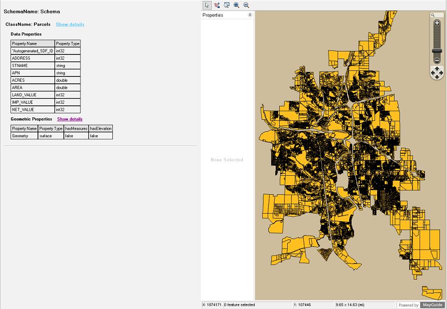
| 12:29, 12 December 2006 | Geom Display.JPG (file) |  |
87 KB | Wiki-Rexszeto | Screenshot view of the graphical display | 1 |
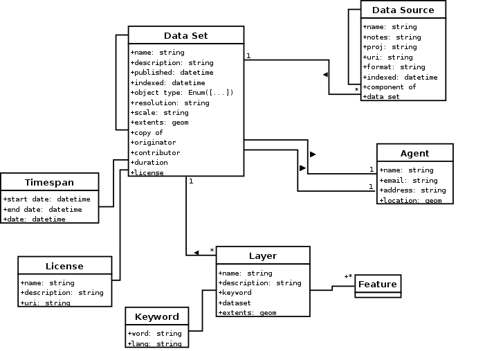
| 09:30, 18 December 2006 | Metadata.png (file) |  |
30 KB | Wiki-JoWalsh | UML for core metadata model | 1 |
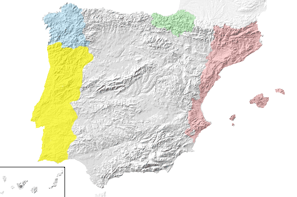
| 15:42, 3 January 2007 | Fisic-idiomes.png (file) |  |
60 KB | Wiki-Nicky | Fisic representation with languages layers | 1 |
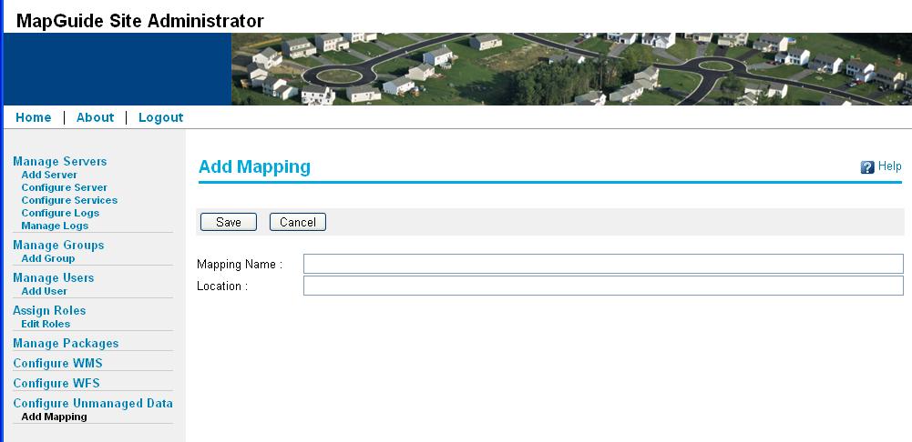
| 15:06, 17 January 2007 | AddUnmanagedData.JPG (file) |  |
57 KB | Wiki-Tonyfang | 2 | |
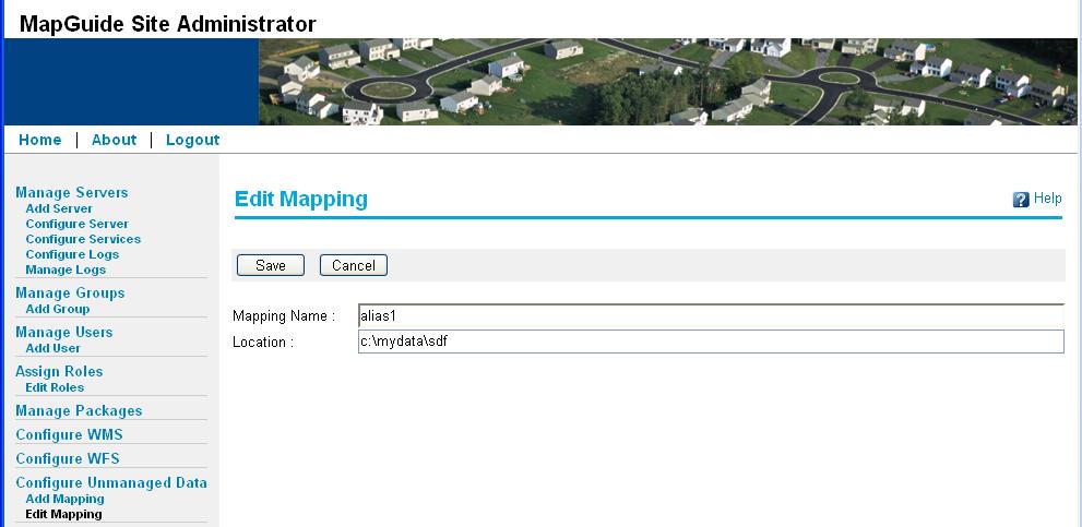
| 15:06, 17 January 2007 | EditUnmanagedData.JPG (file) |  |
60 KB | Wiki-Tonyfang | 2 | |
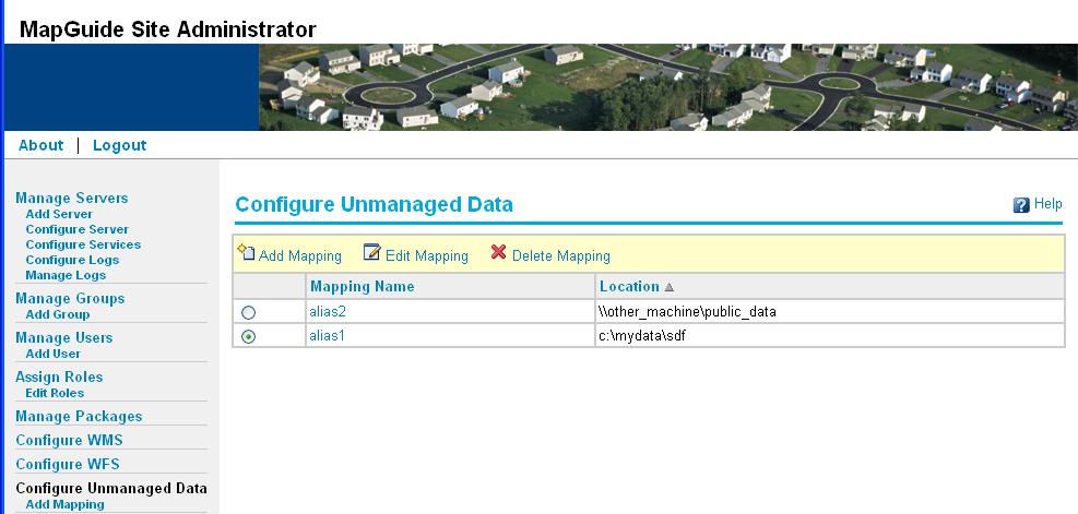
| 15:08, 17 January 2007 | ConfigureUnmanagedData.JPG (file) |  |
61 KB | Wiki-Tonyfang | 2 | |
| 03:33, 22 January 2007 | OSGeo.png (file) |  |
25 KB | Arnulf | Official OSGeo Logo | 2 |
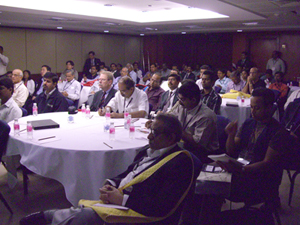
| 09:09, 26 January 2007 | Osgeo participants mwf2007.jpg (file) |  |
130 KB | Rajan | Participants at the OSGeo Workshop at Map World Forum on 24th Jan 2007. | 1 |
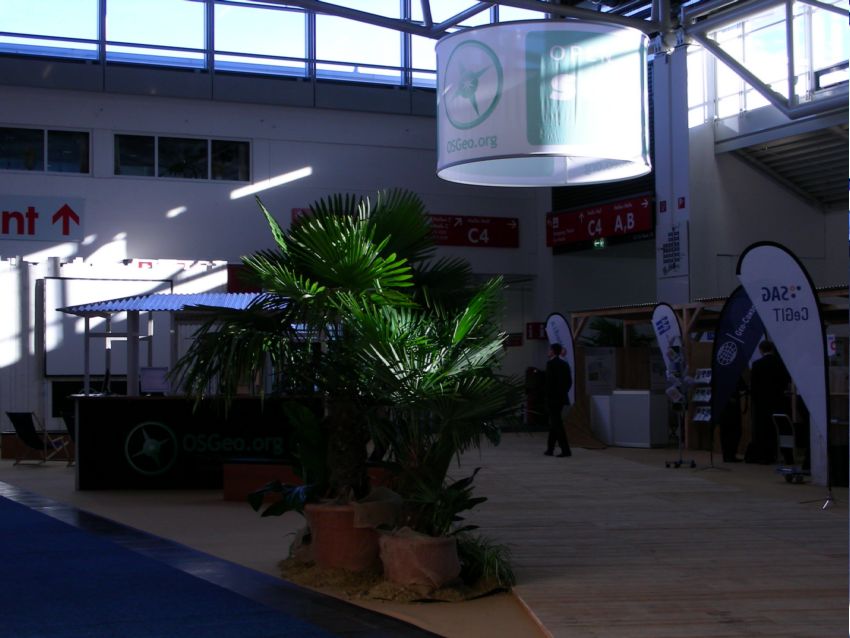
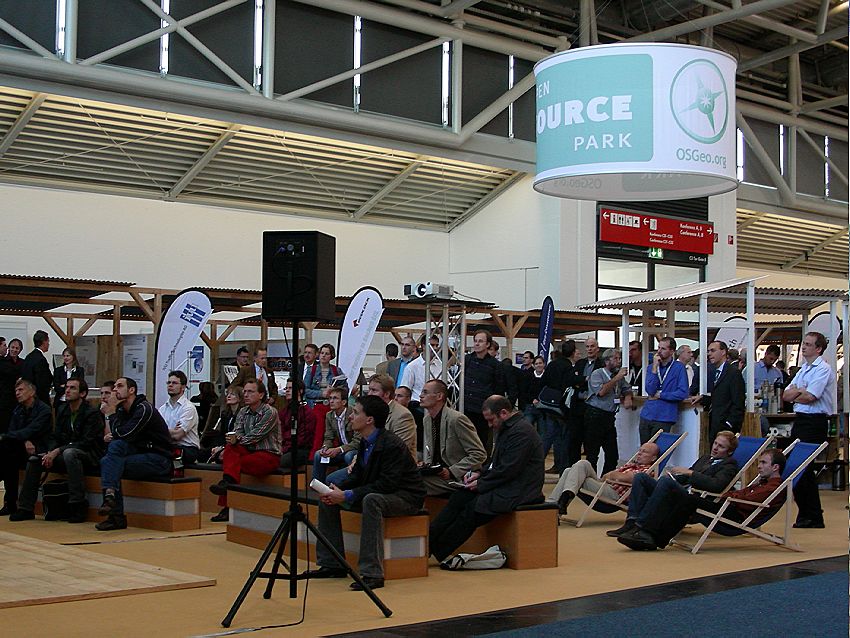
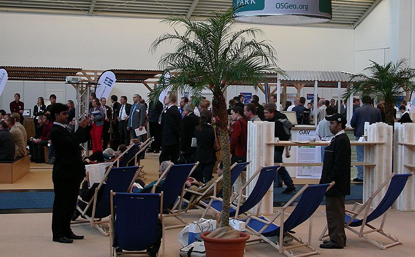
| 07:57, 3 February 2007 | OSGeo booth in the morning sun.jpg (file) |  |
80 KB | Arnulf | Picture from the Intergeo 2006 OSGeo Open Source Park | 1 |
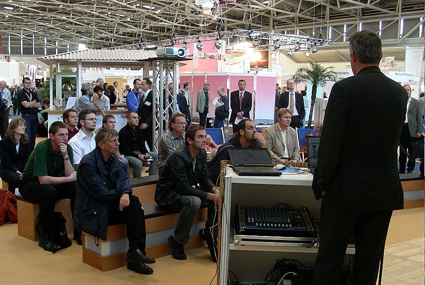
| 07:58, 3 February 2007 | Ossim listeners at mapguide presentation.jpg (file) |  |
136 KB | Arnulf | Picture from the Intergeo 2006 OSGeo Open Source Park | 1 |
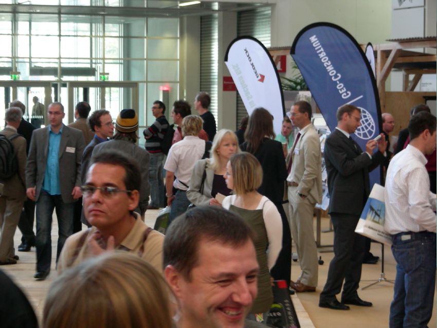
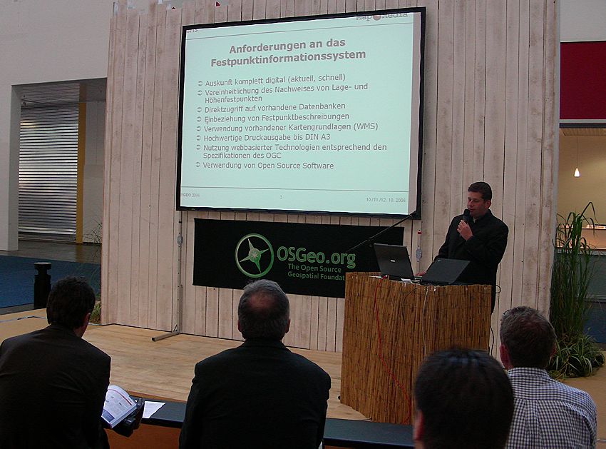
| 07:59, 3 February 2007 | Forum.jpg (file) |  |
132 KB | Arnulf | Picture from the Intergeo 2006 OSGeo Open Source Park | 1 |
| 07:59, 3 February 2007 | Overview.jpg (file) |  |
143 KB | Arnulf | Picture from the Intergeo 2006 OSGeo Open Source Park | 1 |
| 07:59, 3 February 2007 | Forum2.jpg (file) |  |
139 KB | Arnulf | Picture from the Intergeo 2006 OSGeo Open Source Park | 1 |
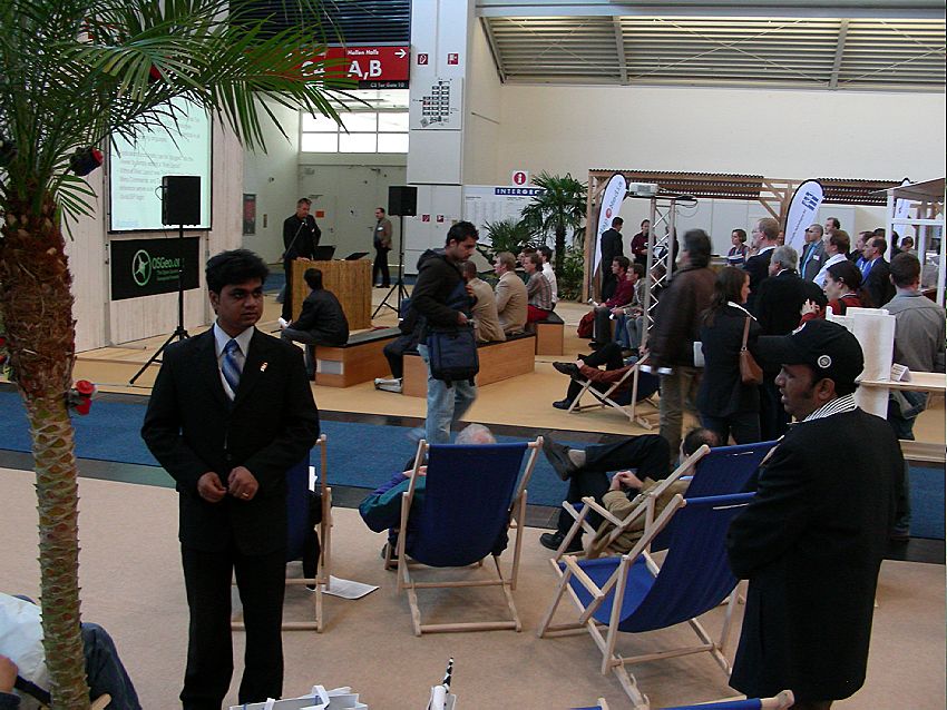
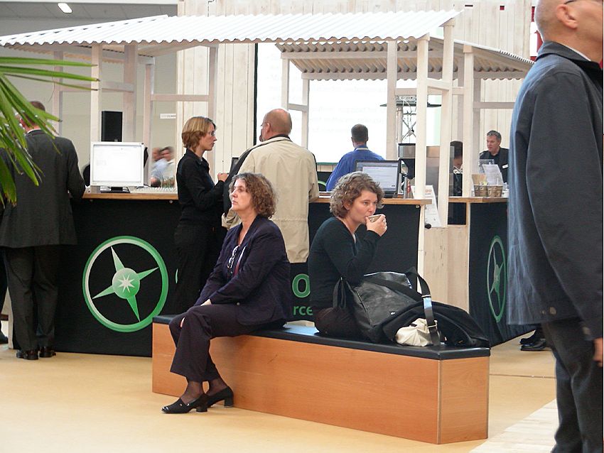
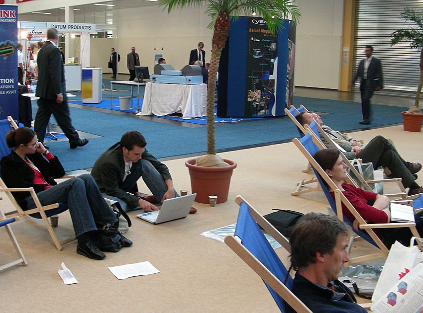
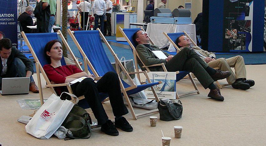
| 07:59, 3 February 2007 | Discussing and resting.jpg (file) |  |
102 KB | Arnulf | Picture from the Intergeo 2006 OSGeo Open Source Park | 1 |
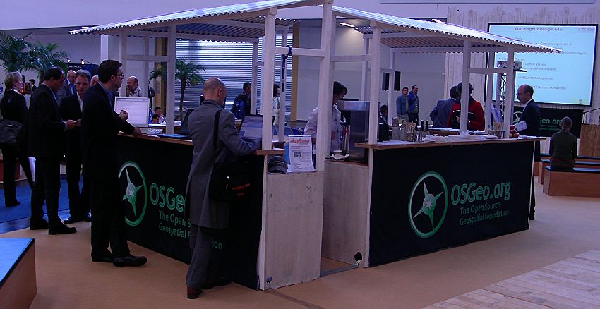
| 08:00, 3 February 2007 | OSGeo booth.jpg (file) |  |
79 KB | Arnulf | Picture from the Intergeo 2006 OSGeo Open Source Park | 1 |
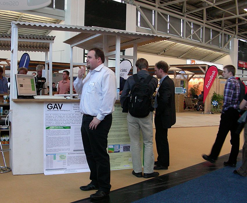
| 08:00, 3 February 2007 | GAV dominik helle georg loesel.jpg (file) |  |
130 KB | Arnulf | 1 | |
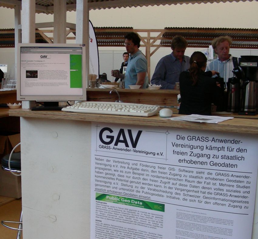
| 08:01, 3 February 2007 | Gav grass public geo data manifesto.jpg (file) |  |
116 KB | Arnulf | Picture from the Intergeo 2006 OSGeo Open Source Park | 1 |
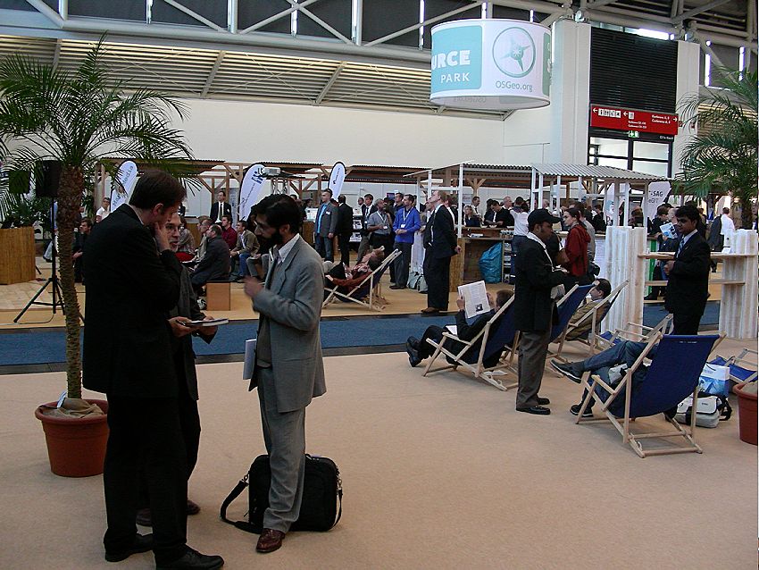
| 08:01, 3 February 2007 | Rest area crowded forum.jpg (file) |  |
123 KB | Arnulf | Picture from the Intergeo 2006 OSGeo Open Source Park | 1 |
| 08:01, 3 February 2007 | Crowd.jpg (file) |  |
90 KB | Arnulf | Picture from the Intergeo 2006 OSGeo Open Source Park | 1 |
| 08:01, 3 February 2007 | Listen rest hack.jpg (file) |  |
126 KB | Arnulf | Picture from the Intergeo 2006 OSGeo Open Source Park | 1 |
| 08:02, 3 February 2007 | Signs of exhaustion.jpg (file) |  |
102 KB | Arnulf | Picture from the Intergeo 2006 OSGeo Open Source Park | 1 |
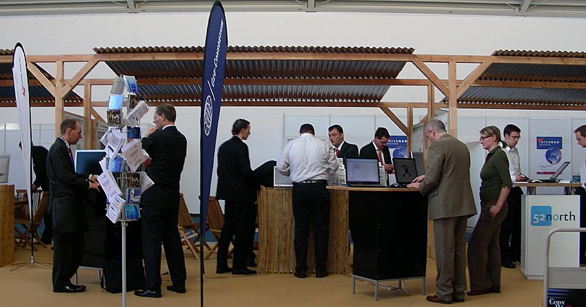
| 08:03, 3 February 2007 | Gelock geo-consortium 52n.jpg (file) |  |
85 KB | Arnulf | Picture from the Intergeo 2006 OSGeo Open Source Park | 1 |
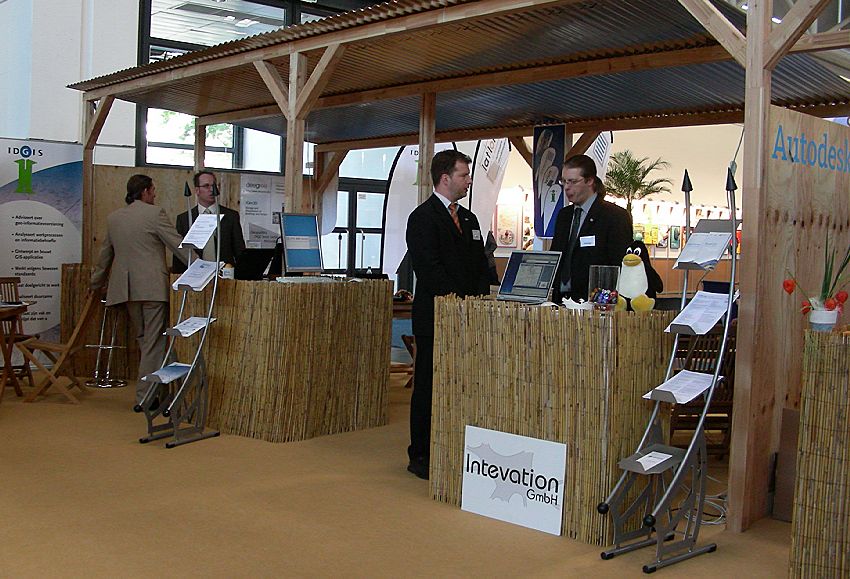
| 08:04, 3 February 2007 | Idgis latlon delphi-imm intevation autodesk.jpg (file) |  |
121 KB | Arnulf | Picture from the Intergeo 2006 OSGeo Open Source Park | 1 |
| 08:04, 3 February 2007 | Mapmedia joerg thomsen.jpg (file) |  |
107 KB | Arnulf | Picture from the Intergeo 2006 OSGeo Open Source Park | 1 |
| 08:04, 3 February 2007 | Torsten brassat geo-consortium.jpg (file) |  |
142 KB | Arnulf | Picture from the Intergeo 2006 OSGeo Open Source Park | 1 |
| 08:05, 3 February 2007 | Athina Trakas WhereGroup.jpg (file) |  |
74 KB | Arnulf | Picture from the Intergeo 2006 OSGeo Open Source Park | 1 |
| 08:06, 3 February 2007 | Jan-Oliver Wagner and Arnulf Christl.jpg (file) |  |
62 KB | Arnulf | Picture from the Intergeo 2006 OSGeo Open Source Park | 1 |