File list
Jump to navigation
Jump to search
This special page shows all uploaded files.
| Date | Name | Thumbnail | Size | User | Description | Versions |
|---|---|---|---|---|---|---|
| 02:28, 9 July 2007 | OSGeologisbusiness.png (file) |  |
15 KB | Wiki-Kai | Logo | 1 |
| 07:16, 9 July 2007 | Anmeldung Open Source Park.pdf (file) | 87 KB | Wiki-Torsten Brassat | 2 | ||
| 01:40, 31 July 2007 | Osgeo grafik bearbeitet.png (file) |  |
126 KB | Wiki-Kai | 2 | |
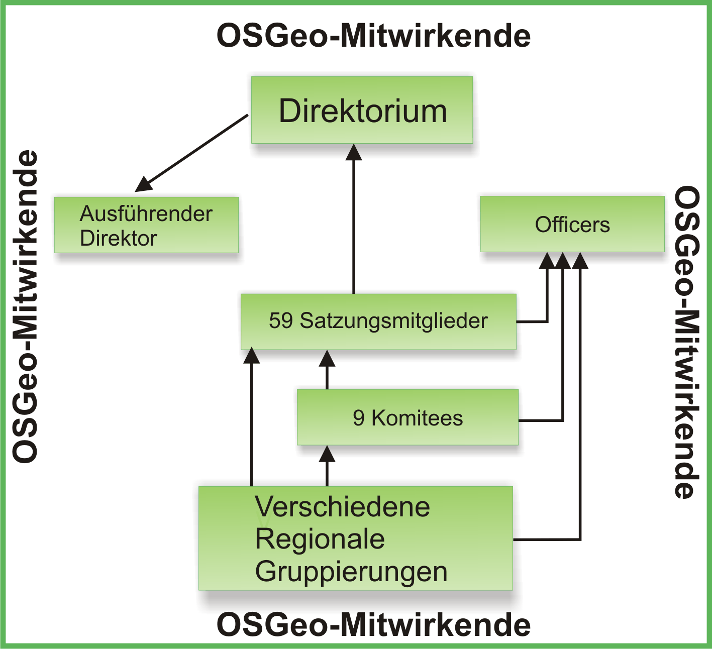
| 01:43, 31 July 2007 | Organigramm osgeo.png (file) |  |
36 KB | Wiki-Kai | 2 | |
| 01:44, 31 July 2007 | Organigramm osgeo1.png (file) |  |
36 KB | Wiki-Kai | 1 | |
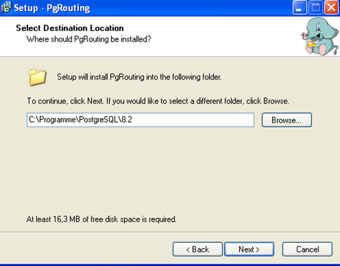
| 09:09, 31 July 2007 | Pgrouting installation.png (file) |  |
68 KB | Wiki-Kai | Installationsroutine von PgRouting | 1 |
| 07:25, 4 August 2007 | FOSS4G 2007 Logo.png (file) | 5 KB | Warmerdam | Version of the image without the early bird message since the early bird deadline has passed. | 2 | |
| 03:22, 13 August 2007 | Markuslupp small.jpg (file) |  |
4 KB | Wiki-MarkusLupp | 1 | |
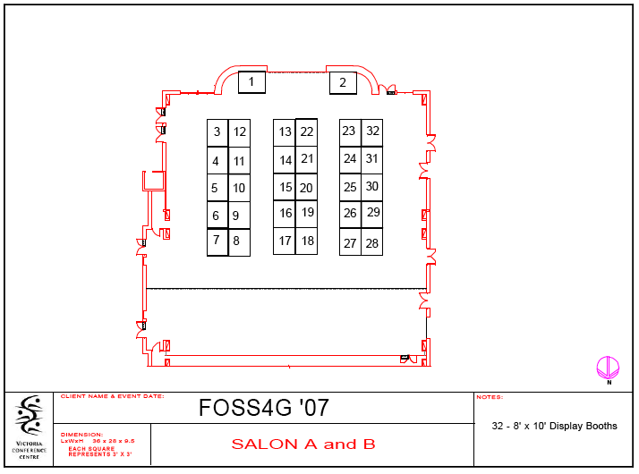
| 09:41, 13 August 2007 | Foss4g booth.png (file) |  |
27 KB | Tmitchell | all booths on expo floor | 1 |
| 15:31, 14 August 2007 | VCC Levels 1 and 2.pdf (file) | 378 KB | Wiki-Dpatton | VCC Level 1 and 2 floor plans | 1 | |
| 02:35, 3 September 2007 | Tiso.jpg (file) |  |
2 KB | Wiki-ChristianTiso | 2 | |
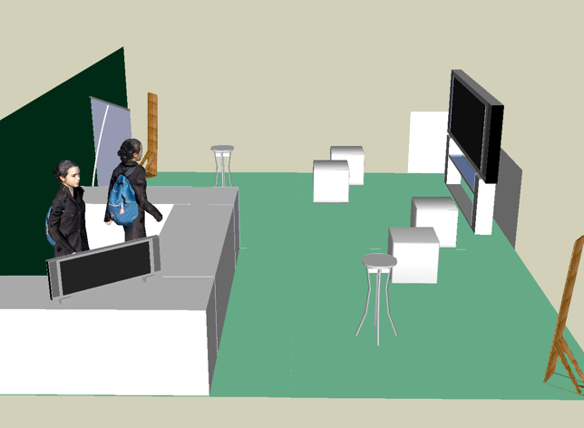
| 16:43, 4 September 2007 | Osgeo booth foss4g v1.jpg (file) |  |
99 KB | Tmitchell | Rough idea for booth layout | 1 |
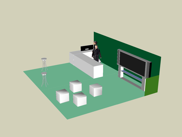
| 16:44, 4 September 2007 | Osgeo booth foss4g v2.jpg (file) |  |
84 KB | Tmitchell | Rough idea for booth layout - version 2 | 1 |
| 17:13, 18 September 2007 | Introlab addVector LU.png (file) |  |
9 KB | Wiki-FossUMass | UmassFoss | 1 |
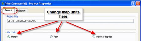
| 17:14, 18 September 2007 | IntroLab ChangingMapUnits.jpg (file) |  |
15 KB | Wiki-FossUMass | UmassFoss | 1 |
| 17:15, 18 September 2007 | IntroLab LayersOrder.jpg (file) |  |
34 KB | Wiki-FossUMass | UmassFoss | 1 |
| 17:16, 18 September 2007 | Introlab ZoomtoCurrentLayer.png (file) |  |
20 KB | Wiki-FossUMass | UmassFoss | 1 |
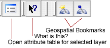
| 17:16, 18 September 2007 | Lb intro AddLayerTools.png (file) |  |
60 KB | Wiki-FossUMass | UmassFoss | 1 |
| 17:16, 18 September 2007 | Somerights20.png (file) |  |
958 bytes | Wiki-FossUMass | 1 | |
| 17:17, 18 September 2007 | QGIS statusbar info.png (file) | 27 KB | Wiki-FossUMass | UmassFoss | 1 | |
| 17:17, 18 September 2007 | Poweredby mediawiki 88x31.png (file) |  |
2 KB | Wiki-FossUMass | UmassFoss | 1 |
| 17:17, 18 September 2007 | Magnify-clip.png (file) |  |
267 bytes | Wiki-FossUMass | UmassFoss | 1 |
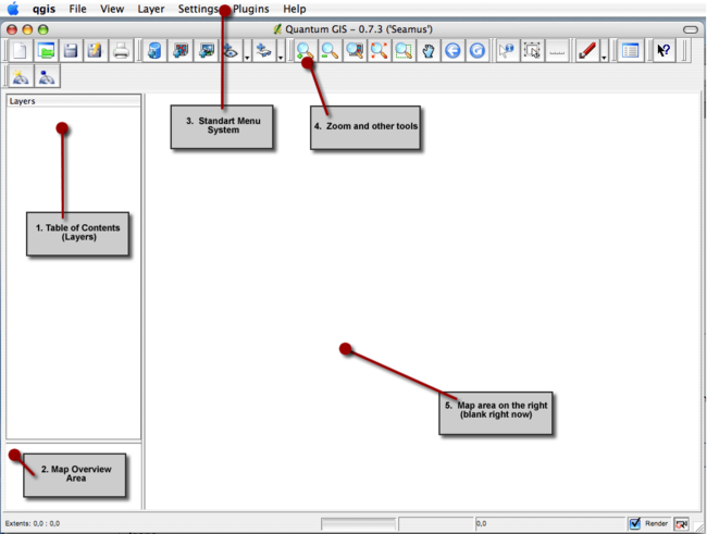
| 17:17, 18 September 2007 | Lb intro QGISscreen1.png (file) |  |
85 KB | Wiki-FossUMass | UmassFoss | 1 |
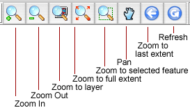
| 17:17, 18 September 2007 | Lb intro maptools bars.png (file) |  |
56 KB | Wiki-FossUMass | UmassFoss | 1 |
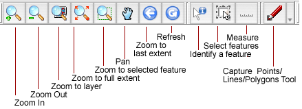
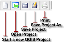
| 17:18, 18 September 2007 | Lb intro iconbar4.png (file) |  |
45 KB | Wiki-FossUMass | UmassFoss | 1 |
| 17:18, 18 September 2007 | Lb intro iconbar3.png (file) |  |
70 KB | Wiki-FossUMass | UmassFoss | 1 |
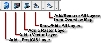
| 17:18, 18 September 2007 | Lb intro iconbar2.png (file) |  |
89 KB | Wiki-FossUMass | UmassFoss | 1 |
| 17:18, 18 September 2007 | Lb intro iconbar1.png (file) |  |
71 KB | Wiki-FossUMass | UmassFoss | 1 |
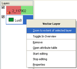
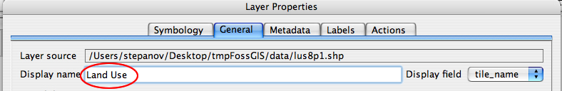
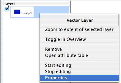
| 17:19, 18 September 2007 | Lb intro ChangingTOC3.png (file) |  |
225 KB | Wiki-FossUMass | UmassFoss | 1 |
| 17:19, 18 September 2007 | Lb intro ChangingTOC2.png (file) | 138 KB | Wiki-FossUMass | UmassFoss | 1 | |
| 17:19, 18 September 2007 | Lb intro ChangingTOC1.png (file) |  |
32 KB | Wiki-FossUMass | UmassFoss | 1 |
| 17:20, 18 September 2007 | Lb intro AttrTable.png (file) | 142 KB | Wiki-FossUMass | UmassFoss | 1 | |
| 17:20, 18 September 2007 | Lb intro AttrTable1.png (file) |  |
34 KB | Wiki-FossUMass | UmassFoss | 1 |
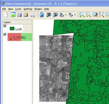
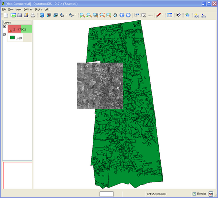
| 17:21, 18 September 2007 | Introlab VectorRasterLayersAdded.png (file) |  |
110 KB | Wiki-FossUMass | UmassFoss | 1 |
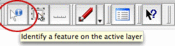
| 17:29, 18 September 2007 | IntroLab InfoTool.png (file) | 11 KB | Wiki-FossUMass | UmassFoss | 1 | |
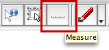
| 17:29, 18 September 2007 | IntroLab MeasureTool.png (file) |  |
7 KB | Wiki-FossUMass | UmassFoss | 1 |
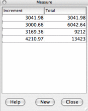
| 17:29, 18 September 2007 | IntroLab MeasureToolOutput.png (file) |  |
22 KB | Wiki-FossUMass | UmassFoss | 1 |
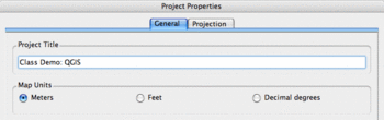
| 17:29, 18 September 2007 | IntroLabSetProjectPropertie.png (file) |  |
20 KB | Wiki-FossUMass | UmassFoss | 1 |
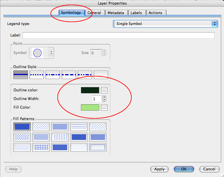
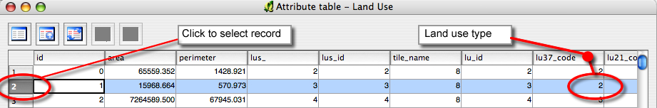
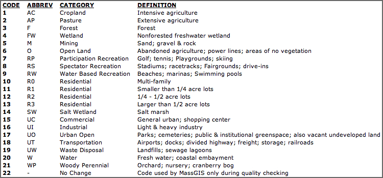
| 17:29, 18 September 2007 | Lb intro LanduseTypes.png (file) |  |
98 KB | Wiki-FossUMass | UmassFoss | 1 |
| 14:17, 20 September 2007 | Shot01 mapserver5.png (file) |  |
16 KB | Wiki-Epk | MapServer 5 map - chart map | 1 |
| 03:53, 21 September 2007 | Shot02 mapserver-label follow.png (file) |  |
54 KB | Wiki-Epk | small size | 2 |
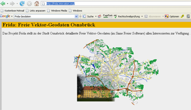
| 09:52, 3 October 2007 | Frida.png (file) |  |
72 KB | Wiki-Kai | Frida Homepage | 1 |
| 09:55, 3 October 2007 | Frida umwandlung.png (file) | 20 KB | Wiki-Kai | Shapefile umwandeln | 1 | |
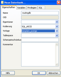
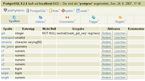
| 09:57, 3 October 2007 | Newdb.png (file) |  |
31 KB | Wiki-Kai | Datenbak anlegen | 1 |
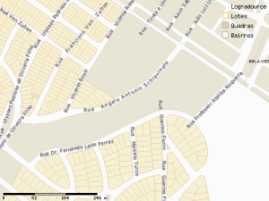
| 10:01, 3 October 2007 | Struktur.png (file) |  |
73 KB | Wiki-Kai | Ursprüngliche Struktur der Frida-Daten | 1 |
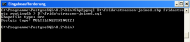
| 10:02, 3 October 2007 | Routingeinlesen.png (file) | 6 KB | Wiki-Kai | Einlesen der Routingdaten | 1 | |
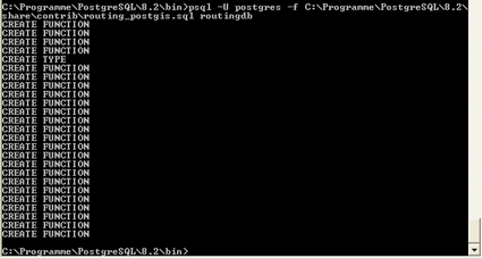
| 10:05, 3 October 2007 | Routing postgis eingelesen.png (file) |  |
64 KB | Wiki-Kai | Einlesen der pgRouting Funktionen | 1 |
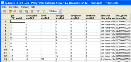
| 10:06, 3 October 2007 | Tabellen ueberischt.png (file) |  |
99 KB | Wiki-Kai | Tabelle für PGRouting | 1 |
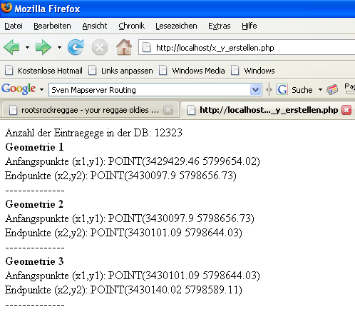
| 10:09, 3 October 2007 | Startpunkt.PNG (file) |  |
34 KB | Wiki-Kai | Start und Endpunkt ermitteln | 1 |
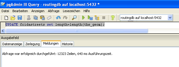
| 10:11, 3 October 2007 | Length.PNG (file) |  |
17 KB | Wiki-Kai | Längenberechnung | 1 |