Difference between revisions of "Drazen Tutic"
Jump to navigation
Jump to search
Wiki-Dtutic (talk | contribs) |
Wiki-Dtutic (talk | contribs) |
||
| (3 intermediate revisions by the same user not shown) | |||
| Line 1: | Line 1: | ||
[[Image:Tutic.JPG|thumb|right|200px]] | [[Image:Tutic.JPG|thumb|right|200px]] | ||
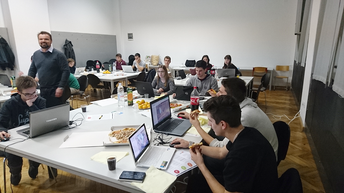
| + | [[Image:OSM_GEO_WEEK_2016_1.PNG|thumb|right|400px|Workshop in Zagreb as part of OSMGeoWeek, 2016]] | ||
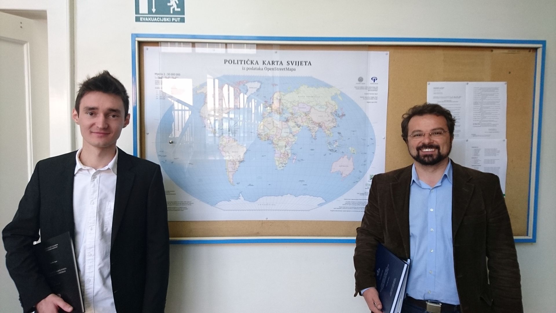
| + | [[Image:OSMPoliticalMap_small.jpg|thumb|right|400px|With Tomislav Jogun and map and project awarded by BCS in 2017)]] | ||
Dražen Tutić is an Assistant Professor at University of Zagreb, Faculty of Geodesy and a Head of [http://www.geof.unizg.hr/mod/book/view.php?id=1165 Open Source Geospatial Lab (OSGL)] at the same faculty. His research, teaching and contribution is mainly in the fields of map projections, cartography and GIS. | Dražen Tutić is an Assistant Professor at University of Zagreb, Faculty of Geodesy and a Head of [http://www.geof.unizg.hr/mod/book/view.php?id=1165 Open Source Geospatial Lab (OSGL)] at the same faculty. His research, teaching and contribution is mainly in the fields of map projections, cartography and GIS. | ||
| − | * Founder of [http://www.geof.unizg.hr/mod/book/view.php?id=1165 OSGL, Faculty of Geodesy, University of Zagreb] | + | * Founder of [http://www.geoforall.org/ GeoForAll] [http://www.geof.unizg.hr/mod/book/view.php?id=1165 OSGL, Faculty of Geodesy, University of Zagreb] |
* Contributor to the development of [https://github.com/OSGeo/proj.4 PROJ4] | * Contributor to the development of [https://github.com/OSGeo/proj.4 PROJ4] | ||
* Developer of [https://plugins.qgis.org/ QGIS plugins] | * Developer of [https://plugins.qgis.org/ QGIS plugins] | ||
| Line 9: | Line 11: | ||
* Organizer of local Open Source and Open Data related events in Croatia. | * Organizer of local Open Source and Open Data related events in Croatia. | ||
* Creator and teacher of [http://www.isvu.hr/javno/en/vu7/nasprog/2017/pred143191.shtml Open Geoinformation] course at study of Geodesy and Geoinformatics at the Faculty of Geodesy, University of Zagreb | * Creator and teacher of [http://www.isvu.hr/javno/en/vu7/nasprog/2017/pred143191.shtml Open Geoinformation] course at study of Geodesy and Geoinformatics at the Faculty of Geodesy, University of Zagreb | ||
| − | * Mentor of the [ | + | * Mentor of the [http://github.com/GEOF-OSGL/OSMPoliticalMap student's work] awarded by Ian Mumford award of British Cartographic Society for 2017 |
| + | * Editor-in-chief of [http://kig.kartografija.hr Cartography and Geoinformation] journal, 2012-2017 | ||
| + | * Member of ICA Commissions on [http://ica-proj.kartografija.hr/upcoming-events.en.html Map Projections] and [http://www.mountaincartography.org/ Mountain Cartography] | ||
| + | * Member of Organization Board of [http://www.kartografija.hr/arhiva-konferencija-hkd-a.en.html conferences] organized by Croatian Cartographic Society | ||
Resources | Resources | ||
Latest revision as of 23:18, 9 September 2017
Dražen Tutić is an Assistant Professor at University of Zagreb, Faculty of Geodesy and a Head of Open Source Geospatial Lab (OSGL) at the same faculty. His research, teaching and contribution is mainly in the fields of map projections, cartography and GIS.
- Founder of GeoForAll OSGL, Faculty of Geodesy, University of Zagreb
- Contributor to the development of PROJ4
- Developer of QGIS plugins
- Contributor to development of GRASS GIS
- Organizer of local Open Source and Open Data related events in Croatia.
- Creator and teacher of Open Geoinformation course at study of Geodesy and Geoinformatics at the Faculty of Geodesy, University of Zagreb
- Mentor of the student's work awarded by Ian Mumford award of British Cartographic Society for 2017
- Editor-in-chief of Cartography and Geoinformation journal, 2012-2017
- Member of ICA Commissions on Map Projections and Mountain Cartography
- Member of Organization Board of conferences organized by Croatian Cartographic Society
Resources
| OSGeo Member | ||
|---|---|---|
| Name: | Dražen Tutić | |
| Job Title: | Assistant Professor | |
| Company: | Faculty of Geodesy, University of Zagreb | |
| Address: | Kačićeva 26 | |
| City: | Zagreb | |
| State: | ||
| Country: | Croatia | |
| Local Chapter: | Croatia | |
| Email: | dtutic@geof.hr | |
| Phone: | +38514639193 | |
| Instant Messaging: | Skype: dtutic | |
| Website: | http://github.com/GEOF-OSGL/ | |
| Language(s): | English, Croatian | |
| Personal Description : | Dražen is researcher and teacher in cartography and geoinformatics. His special interest and developing is in the field of map projections and cartographic generalization. He established Open Source Geospatial Lab at the Faculty of Geodesy, University of Zagreb. | |
|
|
||
OSGeo Experience and Roles:


