Difference between revisions of "Google Code In 2019 Recommendations for Students"
Vrautenbach (talk | contribs) (Created page with "Category:Google Code In") |
Camerongreen (talk | contribs) |
||
| Line 1: | Line 1: | ||
| + | <center> | ||
| + | [[Image:GCI-logo.jpg|400px|link=https://developers.google.com/open-source/gci/]] <font size="+3"> @ </font> [[Image:Osgeo-logo.png|300px|link=http://www.osgeo.org]] | ||
| + | </center> | ||
| + | |||
| + | == Welcome to OSGeo! == | ||
| + | |||
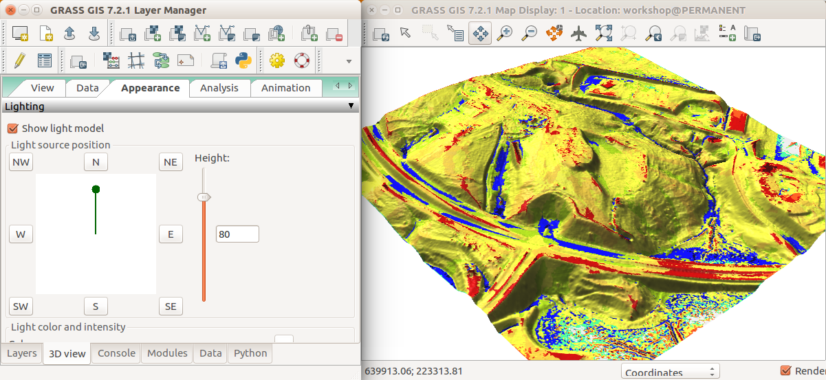
| + | [[Image:Geomorphons_in_3D_view_Appearance_tab.png|thumb|right|333px|GRASS GIS software, viewing a map layer in 3D]] | ||
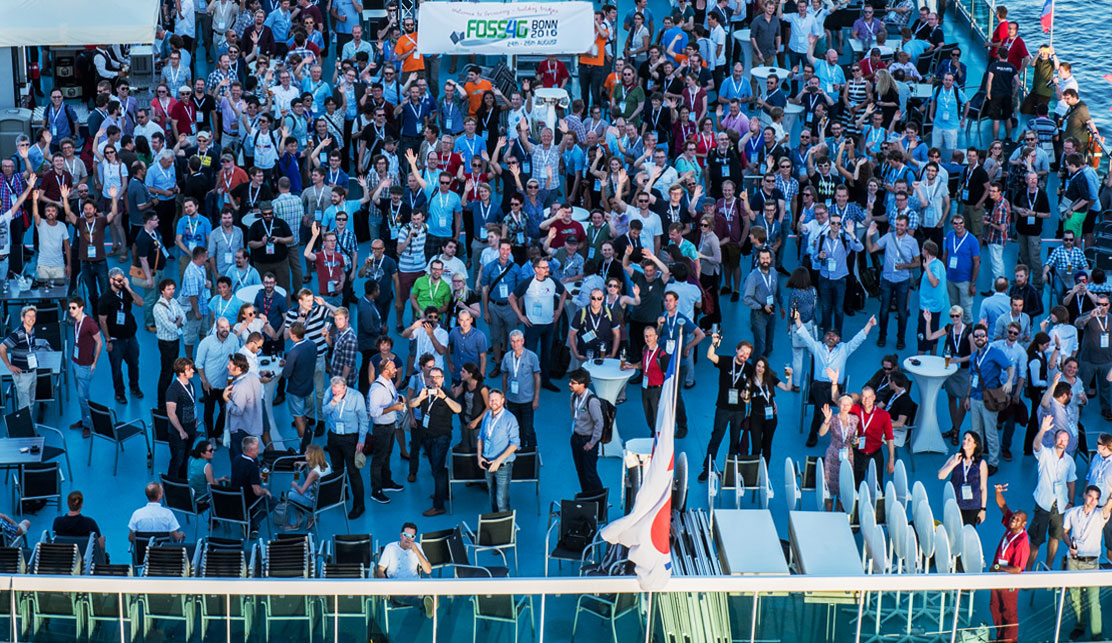
| + | [[Image:Foss4g-2016-boat-cruise.jpg|thumb|right|333px|FOSS4G (OSGeo's annual conference) boat cruise, August 2016, Bonn, Germany]] | ||
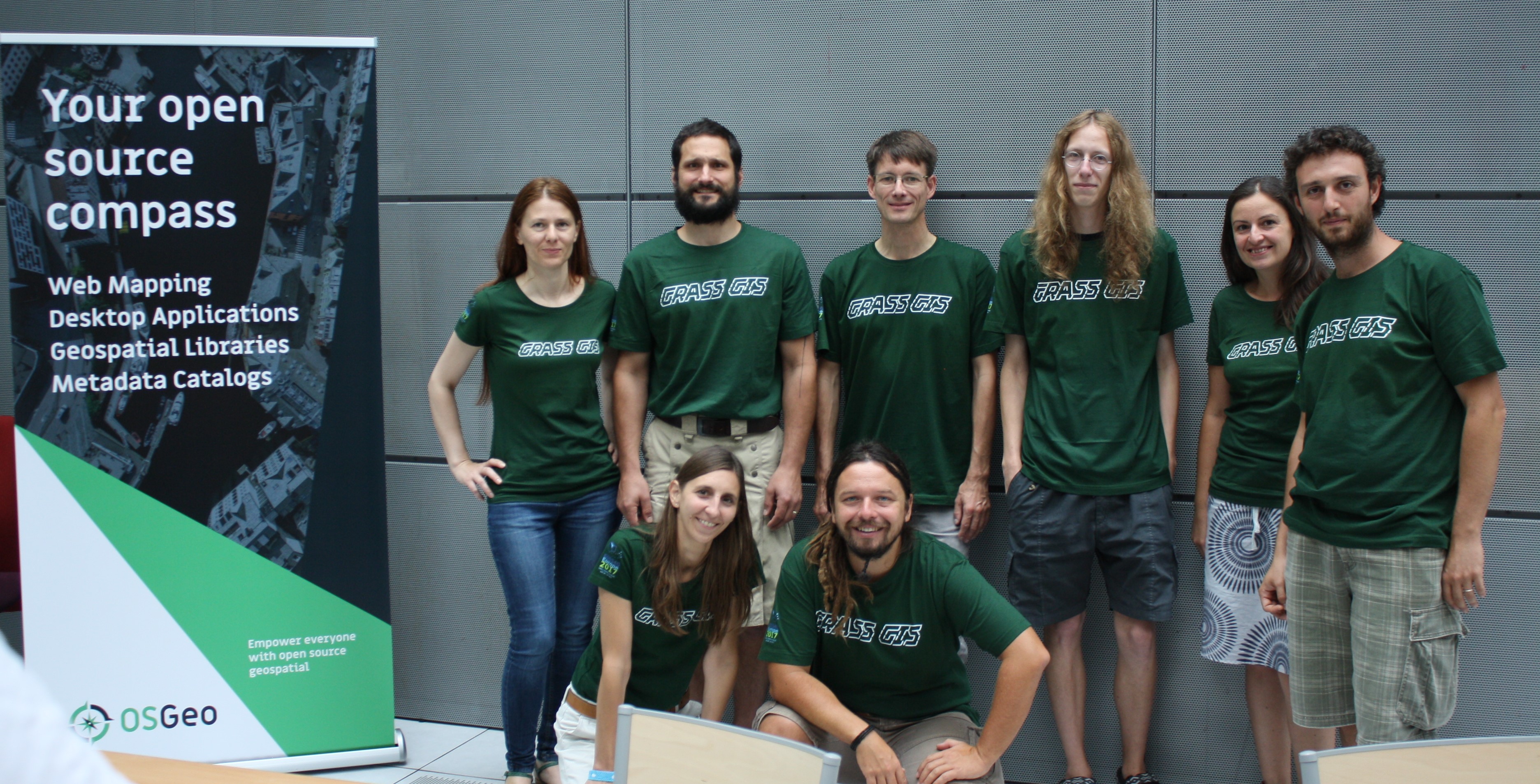
| + | [[Image:Grass-gis-sprint-team-paris.jpg|thumb|right|333px|GRASS GIS team at the FOSS4G-Europe code sprint, July 2017 in Paris, France]] | ||
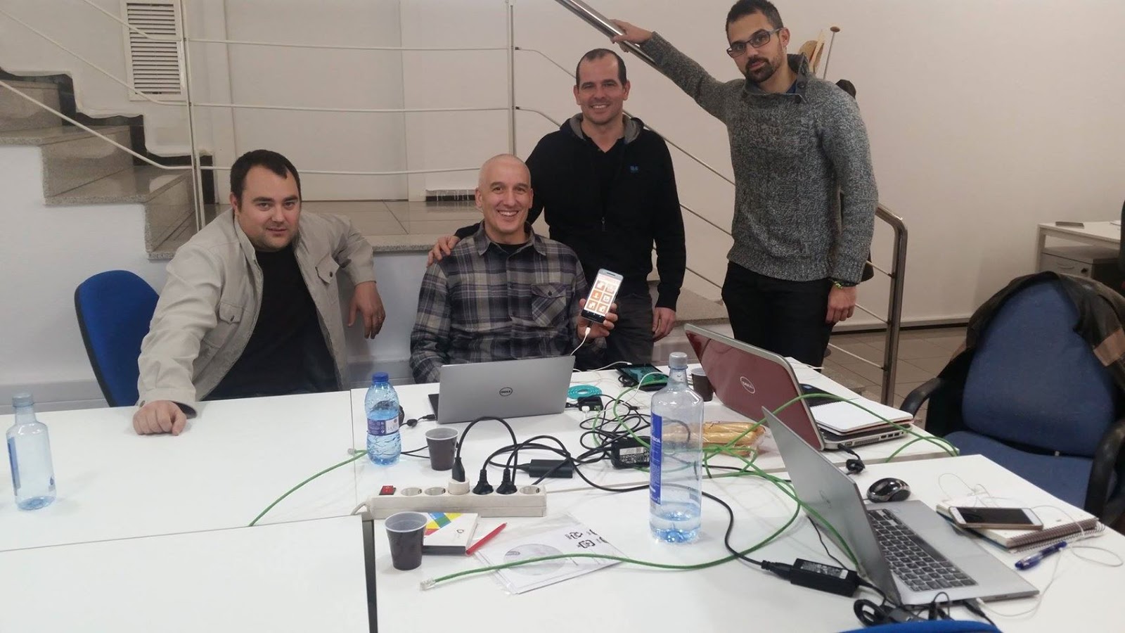
| + | [[Image:Gvsig-code-sprint.jpg|thumb|right|333px|gvSIG-Mobile code sprint team, February 2017 in Valencia, Spain]] | ||
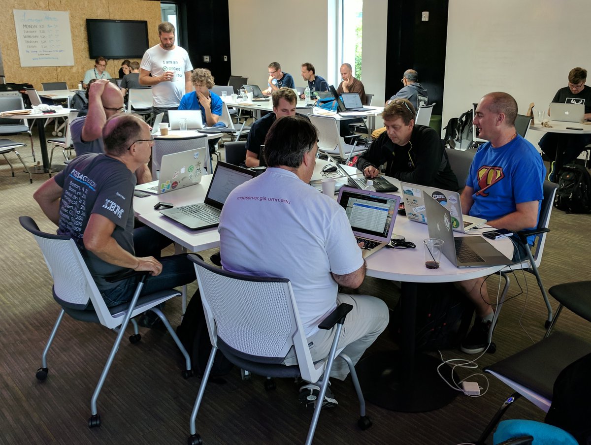
| + | [[Image:Mapserver-sprint-boston.jpg|thumb|right|333px|MapServer code sprint team at FOSS4G-Boston, August 2017 in Boston, U.S.]] | ||
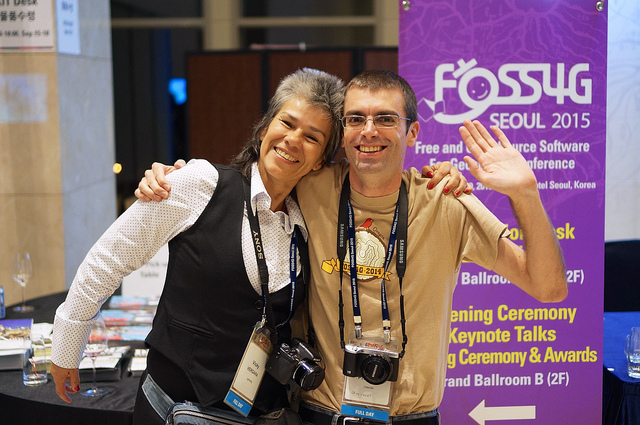
| + | [[Image:PgRouting-team.jpg|thumb|right|333px|pgRouting and QGIS team members at FOSS4G-Seoul, September 2015 in Seoul, South Korea]] | ||
| + | [[Image:Osgeolive-bonn-sprint.jpg|thumb|right|333px|OSGeoLive code sprint at FOSS4G-Bonn, August 2016 in Bonn, Germany]] | ||
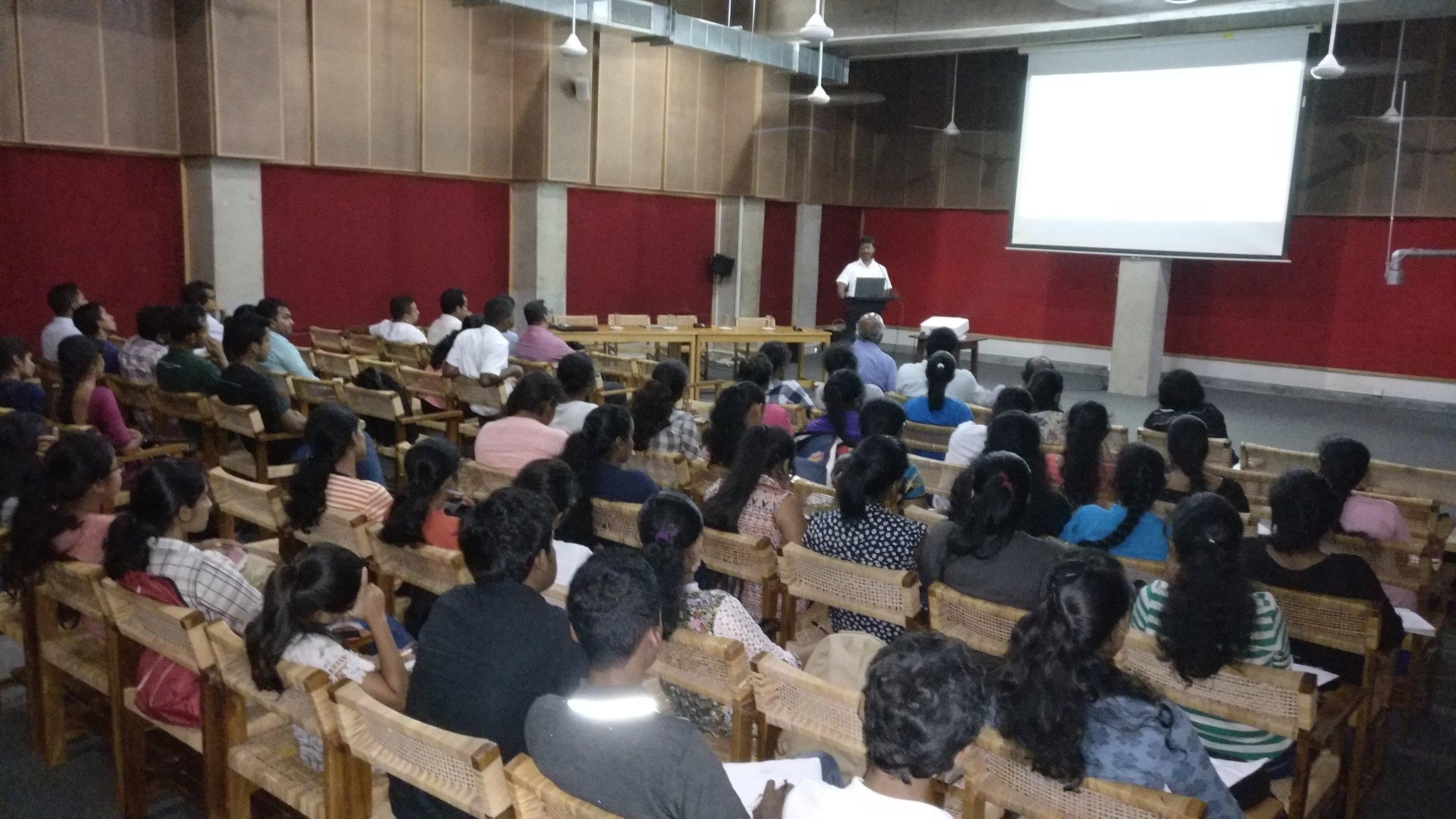
| + | [[Image:Sri-lanka-chapter-meeting.jpg|thumb|right|333px|Sri Lanka local chapter meeting, on 2017-11-15]] | ||
| + | |||
| + | We are a <font size="+3"> fun vibrant community </font> that believes in sharing Open Source <font size="+3">software related to making maps</font>. | ||
| + | |||
| + | == How to ask general questions about the Code-in == | ||
| + | |||
| + | '''Send an Email of questions to OSGeo''' | ||
| + | |||
| + | * subscribe to OSGeo's "gci-discuss" mailing list [https://lists.osgeo.org/mailman/listinfo/gci-discuss here] | ||
| + | * ask your question, and usually within a day someone from the OSGeo Code-in team (mentors or administrators) will reply | ||
| + | * all OSGeo mentors for the Code-in contest follow this "gci-discuss" mailing list | ||
| + | |||
| + | '''Ask on the #osgeo-gci IRC chat channel''' | ||
| + | |||
| + | * IRC-channel: #osgeo-gci channel on freenode.net | ||
| + | ** how to connect: choose your favorite IRC client, or go directly through your web browser with [https://webchat.freenode.net/?channels=osgeo-gci webchat] | ||
| + | ** enter a nickname and click "I am not a robot" and press "Connect" | ||
| + | ** upon entering, ask your questions as you wish (no need to wait, just say "hello, I have a question about the Code-In, how do I..." | ||
| + | |||
| + | == Get to know the OSGeo Community == | ||
| + | |||
| + | The OSGeo foundation (<font size="+3"> http://osgeo.org </font>) was founded in the year 2006 and contains many different types of Open Source software projects to help make geographical maps. | ||
| + | |||
| + | The OSGeo foundation also holds a super-fun conference each year, all over the world, named FOSS4G (<font size="+3"> http://foss4g.org </font>) for '''F'''ree and '''O'''pen '''S'''ource '''S'''oftware for '''G'''eospatial. | ||
| + | |||
| + | * Follow OSGeo on Twitter: [https://twitter.com/OSGeo @OSGeo] | ||
| + | * Follow FOSS4G on Twitter: [https://twitter.com/foss4g @foss4g] | ||
| + | |||
| + | == Why OSGeo? == | ||
| + | |||
| + | # the global geospatial (mapping) industry is huge now (400 Billion USD revenue industry, as of September 2017, read [https://www.valueoftheweb.com/reports/the-economic-impact-of-geospatial-services/ report]) | ||
| + | # learn skills useful to get jobs in the mapping industry (Open Source is rarely taught at school, yet it is in huge demand by employers around the world) | ||
| + | # OSGeo community members are fun, vibrant, and willing to help! | ||
| + | # we have local chapters (local groups getting together or discussing on their own mailing lists in many languages) all over the world! (see [https://wiki.osgeo.org/wiki/Local_Chapters list]) | ||
| + | |||
| + | == Coding Languages == | ||
| + | |||
| + | OSGeo projects use a variety of coding languages, including: | ||
| + | * C | ||
| + | * C++ | ||
| + | * Java | ||
| + | * Python | ||
| + | * JavaScript | ||
| + | |||
| + | == OSGeo Projects & Initiatives Involved in the Code-In == | ||
| + | |||
| + | * [http://foss4g.org FOSS4G] (global conference event) | ||
| + | * [http://geoserver.org/ GeoServer] (web mapping) | ||
| + | * [http://grass.osgeo.org/ GRASS GIS] (desktop) | ||
| + | * [http://istsos.org/ istSOS] (web mapping) | ||
| + | * [https://leafletjs.com// Leaflet] (web mapping) | ||
| + | * [http://www.mapserver.org/ MapServer] (web mapping) | ||
| + | * [http://live.osgeo.org/ OSGeoLive] (installer for projects) | ||
| + | * [http://pgrouting.org/ pgRouting] (geospatial library) | ||
| + | |||
| + | == Searching for a Project's Mailing list Archives == | ||
| + | |||
| + | A good trick to search an OSGeo project's mailing list for help, if you are stuck on a coding problem, is to use OSGeo's Nabble Forum: http://osgeo-org.1560.x6.nabble.com/ | ||
| + | |||
| + | |||
[[Category:Google Code In]] | [[Category:Google Code In]] | ||
Latest revision as of 04:07, 15 October 2019
Welcome to OSGeo!
We are a fun vibrant community that believes in sharing Open Source software related to making maps.
How to ask general questions about the Code-in
Send an Email of questions to OSGeo
- subscribe to OSGeo's "gci-discuss" mailing list here
- ask your question, and usually within a day someone from the OSGeo Code-in team (mentors or administrators) will reply
- all OSGeo mentors for the Code-in contest follow this "gci-discuss" mailing list
Ask on the #osgeo-gci IRC chat channel
- IRC-channel: #osgeo-gci channel on freenode.net
- how to connect: choose your favorite IRC client, or go directly through your web browser with webchat
- enter a nickname and click "I am not a robot" and press "Connect"
- upon entering, ask your questions as you wish (no need to wait, just say "hello, I have a question about the Code-In, how do I..."
Get to know the OSGeo Community
The OSGeo foundation ( http://osgeo.org ) was founded in the year 2006 and contains many different types of Open Source software projects to help make geographical maps.
The OSGeo foundation also holds a super-fun conference each year, all over the world, named FOSS4G ( http://foss4g.org ) for Free and Open Source Software for Geospatial.
Why OSGeo?
- the global geospatial (mapping) industry is huge now (400 Billion USD revenue industry, as of September 2017, read report)
- learn skills useful to get jobs in the mapping industry (Open Source is rarely taught at school, yet it is in huge demand by employers around the world)
- OSGeo community members are fun, vibrant, and willing to help!
- we have local chapters (local groups getting together or discussing on their own mailing lists in many languages) all over the world! (see list)
Coding Languages
OSGeo projects use a variety of coding languages, including:
- C
- C++
- Java
- Python
- JavaScript
OSGeo Projects & Initiatives Involved in the Code-In
- FOSS4G (global conference event)
- GeoServer (web mapping)
- GRASS GIS (desktop)
- istSOS (web mapping)
- Leaflet (web mapping)
- MapServer (web mapping)
- OSGeoLive (installer for projects)
- pgRouting (geospatial library)
Searching for a Project's Mailing list Archives
A good trick to search an OSGeo project's mailing list for help, if you are stuck on a coding problem, is to use OSGeo's Nabble Forum: http://osgeo-org.1560.x6.nabble.com/

