Difference between revisions of "GLTN Partnership"
| Line 6: | Line 6: | ||
| − | The purpose of this partnership is to establish a collaborative relationship between the Open Source Geospatial Foundation (OSGeo) and the [http://gltn.net/ Global Land Tool Network] (GLTN). Arnulf Christl will act as a liaison between the two organizations. | + | The purpose of this partnership is to establish a collaborative relationship between the Open Source Geospatial Foundation (OSGeo) and the [http://gltn.net/ Global Land Tool Network] (GLTN). |
| + | |||
| + | === Role of OSGeo === | ||
| + | |||
| + | This partnership will allow GLTN partners to fund individuals through OSGeo to | ||
| + | join forces on projects, collaborate on the software, take part in | ||
| + | meetings, conferences, workshops, etc. | ||
| + | |||
| + | === OSGeo Representative === | ||
| + | |||
| + | Arnulf Christl will act as a liaison between the two organizations. | ||
=== About GLTN === | === About GLTN === | ||
Revision as of 07:24, 16 April 2014
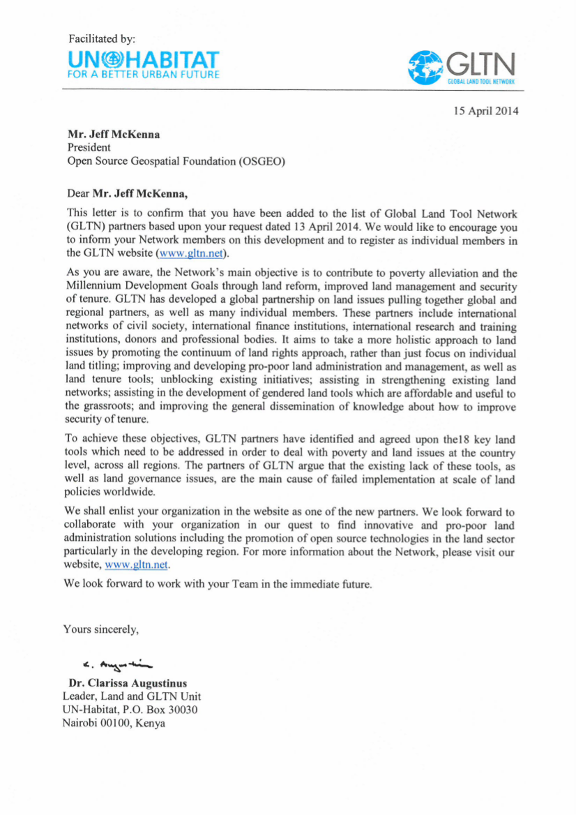
This parternship was approved through a motion by the OSGeo Board of Directors during Board Meeting 2014-02-06.
The purpose of this partnership is to establish a collaborative relationship between the Open Source Geospatial Foundation (OSGeo) and the Global Land Tool Network (GLTN).
Role of OSGeo
This partnership will allow GLTN partners to fund individuals through OSGeo to join forces on projects, collaborate on the software, take part in meetings, conferences, workshops, etc.
OSGeo Representative
Arnulf Christl will act as a liaison between the two organizations.
About GLTN
The Global Land Tool Network (GLTN) is an alliance of global regional and national partners contributing to poverty alleviation through land reform, improved land management and security of tenure particularly through the development and dissemination of pro-poor and gender-sensitive land tools.
