Benchmarking 2010/How to get some sample data
How to download sample data
The datasets will require some time to be merged and prepared, and the simbology still isn't fully decided on. In the meantime, you can download some sample data by following these steps:
- This is the website where the Spanish National Mapping Agency publishes some datasets
- On the top of the page, hit the Welcome link to enter the english version of the page
- Register for a new user. You'll need to enter the desired username, password, repeat password, full name and surname, email, and solve a captcha.
- Enter your account details to log in.
- Go to Advanced search
- In the "products" drop-down menu, select either BCN25-BTN25 for vector data, or Ortofoto PNOA Máxima Actualidad for aerial imagery.
- In the "MTN50 sheet number", enter any number between 1 and 1108.
- Barcelona is 420-421; Madrid is 559. You may want to check a sheet reference (caution: sheet reference is a 17MB image)
- Hit "See list of products". Select a file to download. You will see the license for the data, which boils down to "do not make any commercial use of this data" and "say that the data comes from the IGN"
- You will see a survey. Hit "No enviar y continuar con descarga"
- Hit "Click here yo begin download"
Raster data issues
Remember that the baseline of the OSGeo Benchmark for raster data are GeoTIFF files, but note you can only download ECW files. We will be converting the ECWs to GeoTIFFs.
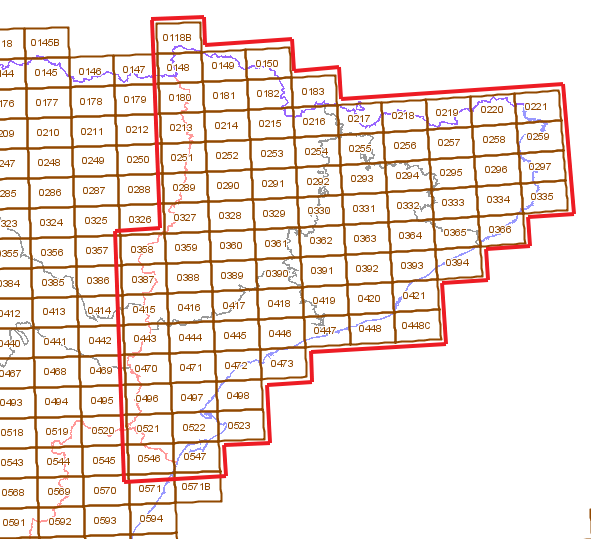
There will be one big file for each one of the sheets in the following diagram. The area covers the whole Catalonia, which is about 32,114 km2 (12,399.3 sq mi):
Vector data issues
Once unzipped, a sheet of vector data contains lots of shapefiles. The shapefiles will be merged, and most probably only the most interesting themes will be used.
Please note that the shapefiles are in ETRS89 + UTM28N/29N/30N/31N. The final shapefiles will be in WGS84, so you're encouraged to reproject them if you think it's neccesary for your testing.
A letter after the theme code explains what kind of geometry the shapefile contains. P stands for Point; L stands for Line; S stands for Surface (Polygon).
Only the following layers will be used:
| Code | Theme | How should it be rendered | Sample rendering | |||||||||||
| Polygon | ||||||||||||||
| 0501S | Settlement | #C0C0C0 fill ;rendered under any other features
Optionally, use the field HABITANTES_501 to choose between 15 different fill images | ||||||||||||
| 0507S | Building |
|

| |||||||||||
| 0513S | Industry | #DB71FF fill | 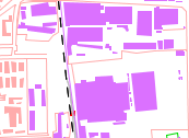
| |||||||||||
| Line | ||||||||||||||
| 0201L | Contour lines |
|
File:Btn25 contours.png | |||||||||||
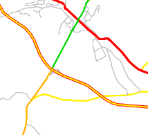
| 0601L | Motorway |
|
| |||||||||||
| 0604L | Road | 3px orange, green or yellow line (depends on CFUN_0604 field) with 1px black casing
| ||||||||||||
| 0607L | Motorway/road link |
| ||||||||||||
| 0610L | Track | 2px grey (#808080) line, 1px black (#000000) casing | off-road tracks | |||||||||||
| Point | ||||||||||||||
| 0801P | Toponym w/o geometry | Label with field ETIQUETA; font size, weight and italics depending on field TIPO; maybe icon depending on TIPO | File:Btn25 toponym.png | |||||||||||
| 0802P | Toponym w/ geometry | Label with field ETIQUETA; font size, weight and italics depending on field TIPO; maybe icon depending on TIPO | ||||||||||||
Rendering notes
This is by no means neccesary, but you might receive a penalty* if your rendering hits any of the following common pitfalls:
- Overlapping labels. Your software has text collision detection, hasn't it?
- Labels on linear features (e.g. river names) should follow the line geometry. Every letter tilted at the same angle = failure.
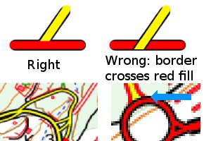
- Rendering any road casing on top of any road fill.
* The penalty is that Iván will not buy you a beer during FOSS4G. See, this is a friendly competition, but we can play rough :-P
Ideal rendering
In an ideal world where money grows on trees and the streets are made out of candy, the development teams should have unlimited time to work on the map rendering.
Ideally, the rendering should be the same as the official topographic maps. You can download samples from the IGN (just follow the above instructions, but select MTN25RASTER instead of BCN25/BTN25).
As you may see, the rendering rules can become very complex, and be non-intuitive at first. This is a performance benchmark, not a beauty one, so teams should focus on performance, and not pixel-to-pixel accuracy.
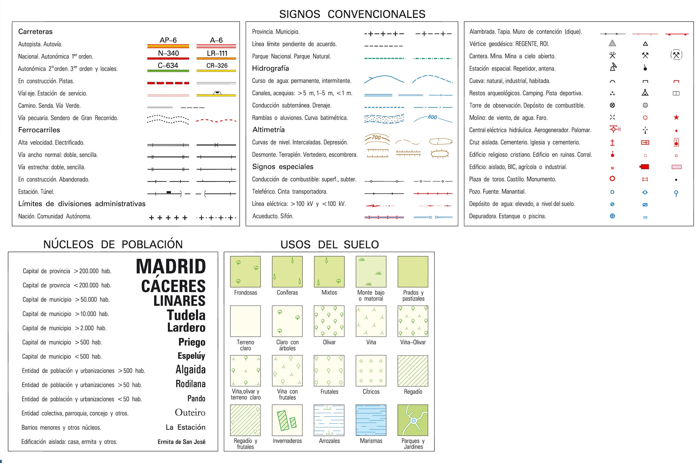
For reference, the legend of the topo map looks like this:
