File:Openlayers map with local library.png
Revision as of 04:42, 3 March 2009 by Wiki-Ominiverdi (talk | contribs) (Openlayers using the local library. Category:Español Category:Education Category:Cursos)
Size of this preview: 756 × 600 pixels. Other resolutions: 303 × 240 pixels | 943 × 748 pixels.
Original file (943 × 748 pixels, file size: 653 KB, MIME type: image/png)
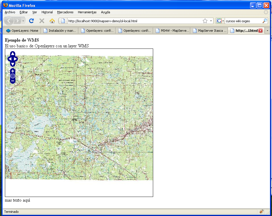
Openlayers using the local library.
File history
Click on a date/time to view the file as it appeared at that time.
| Date/Time | Thumbnail | Dimensions | User | Comment | |
|---|---|---|---|---|---|
| current | 04:42, 3 March 2009 | | 943 × 748 (653 KB) | Wiki-Ominiverdi (talk | contribs) | Openlayers using the local library. Category:Español Category:Education Category:Cursos |
You cannot overwrite this file.
File usage
The following page uses this file: