Category:Cursos
Jump to navigation
Jump to search
Esta categoría aglutina los cursos prácticos disponibles sobre Software Libre para Geomática.
Cómo participar
Se puede contribuir con contenidos, correcciones y que los autores (hay que definir hasta que punto uno es autor o revisor) tienen derecho a poner su nombre en las páginas.
Cómo utilizar este material
Este material, debido a su licencia se puede utilizar como contenido educativo en cualquier curso tanto presencial como a distancia. En cualquier caso dicha licencia impone tanto derechos como deberes que han de ser cumplidos.
Cursos
Curso de utilización de Estándares Abiertos con Software Libre
- Author Name(s): Lorenzo Becchi,Jorge Sanz
- Affilation: Ominiverdi.org, Geomaticblog.net
- URL: Curso_de_utilización_de_Estándares_Abiertos_con_Software_Libre
- Description: Son clases practicas sobre el utilizo de Software Libre para la Geomatica (GFOSS) que pueden ser utilizados en clases de auto-aprendizaje o en clases presenciales y de e-learning. El enfoque de estas clases esta sobre la utilizacion de los estandares OGC.
- Keywords: GFOSS y OGC
- Date published: Noviembre, 2008
- License: Creative Commons Attribution 3.0 License (http://creativecommons.org/licenses/by/3.0/deed.es).
- Target audience: estudiantes graduados o menos, nivel principiante o mediano de GIS
- Language: Spanish
- Relevant software: MS4W, Mapserver, gvSIG, OpenLayers
- Module source format: Wiki
- Additional comments: ...
Pages in category "Cursos"
The following 23 pages are in this category, out of 23 total.
C
I
- Instalación de Geonetwork
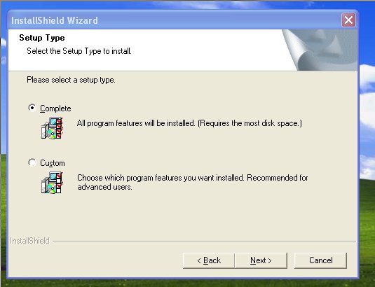
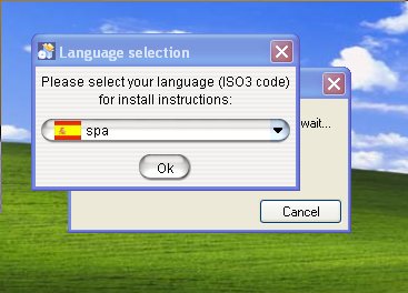
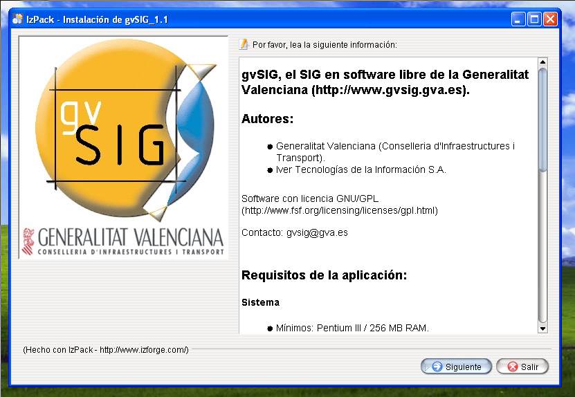
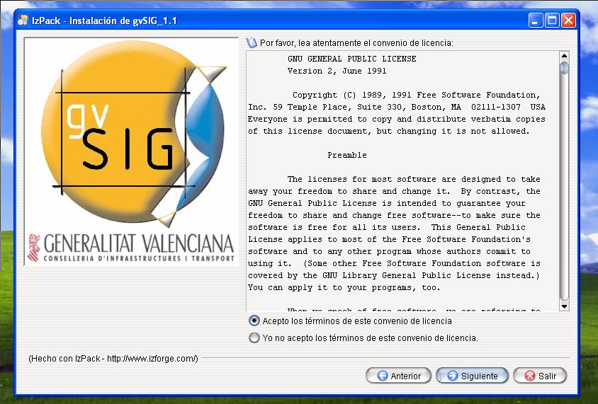
- Instalación de gvSIG
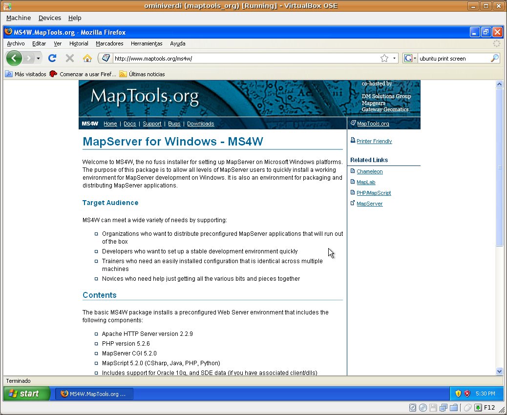
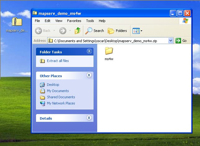
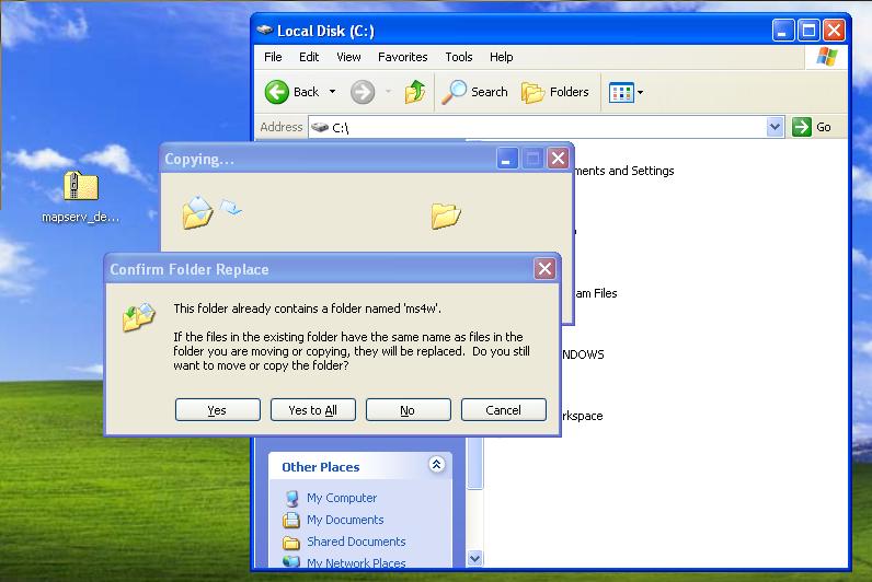
- Instalación de MS4W
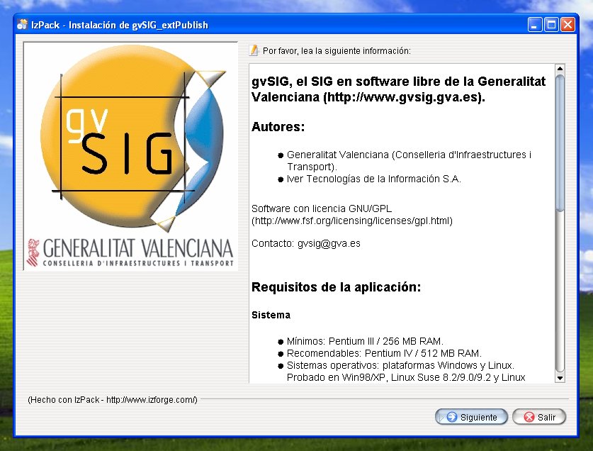
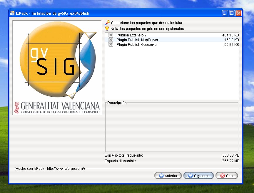
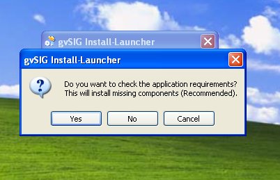
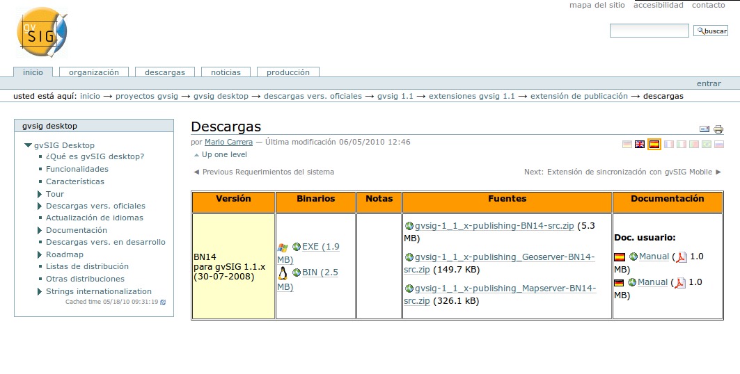
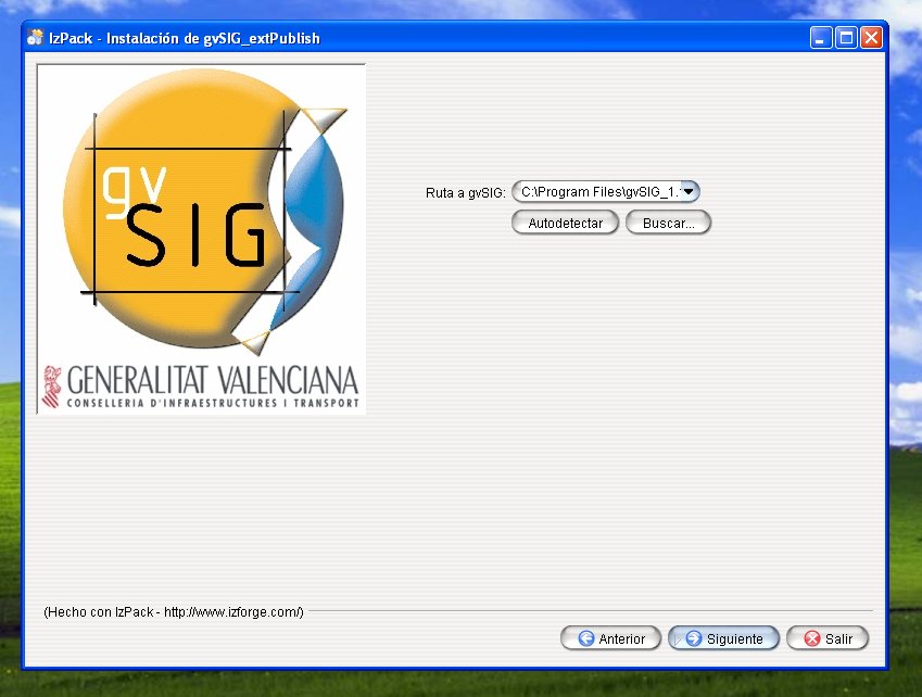
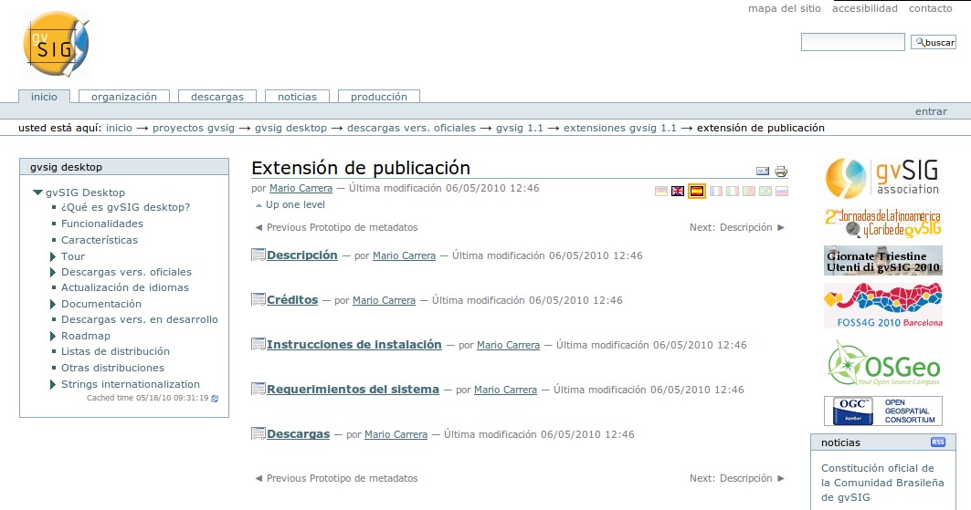
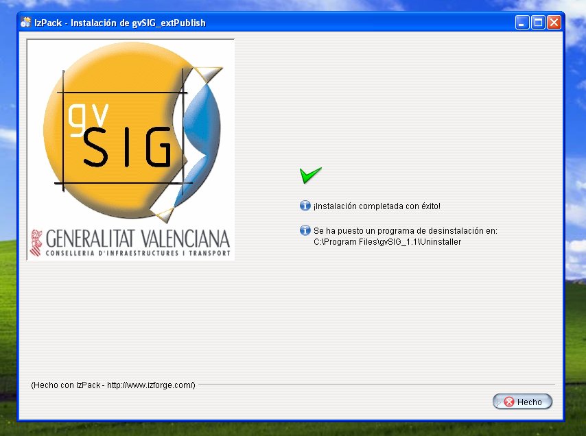
- Instalación del modulo gvSIG para la publicación Web
- Instalación y manejo de Metadatos con Geonetwork Opensource
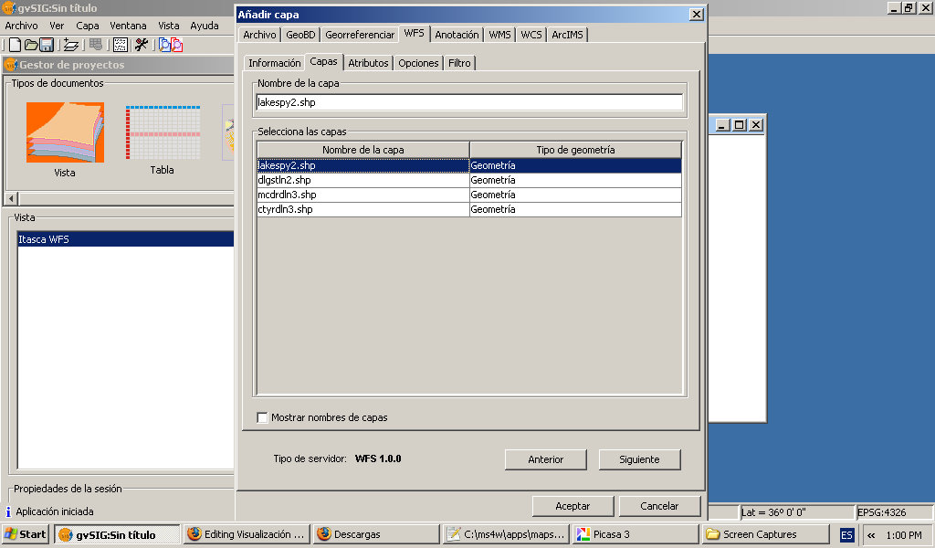
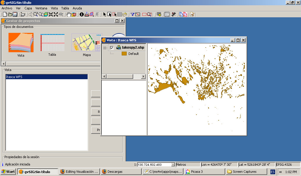
- Instalación y manejo de servicios OWS con UMN MapServer (MS4W) y gvSIG
- Instalación y manejo de servicios OWS con UMN Mapserver y Openlayers
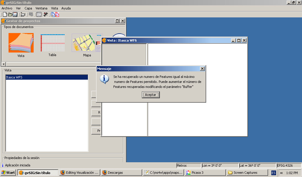
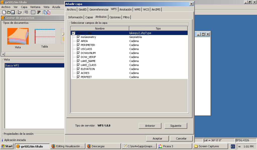
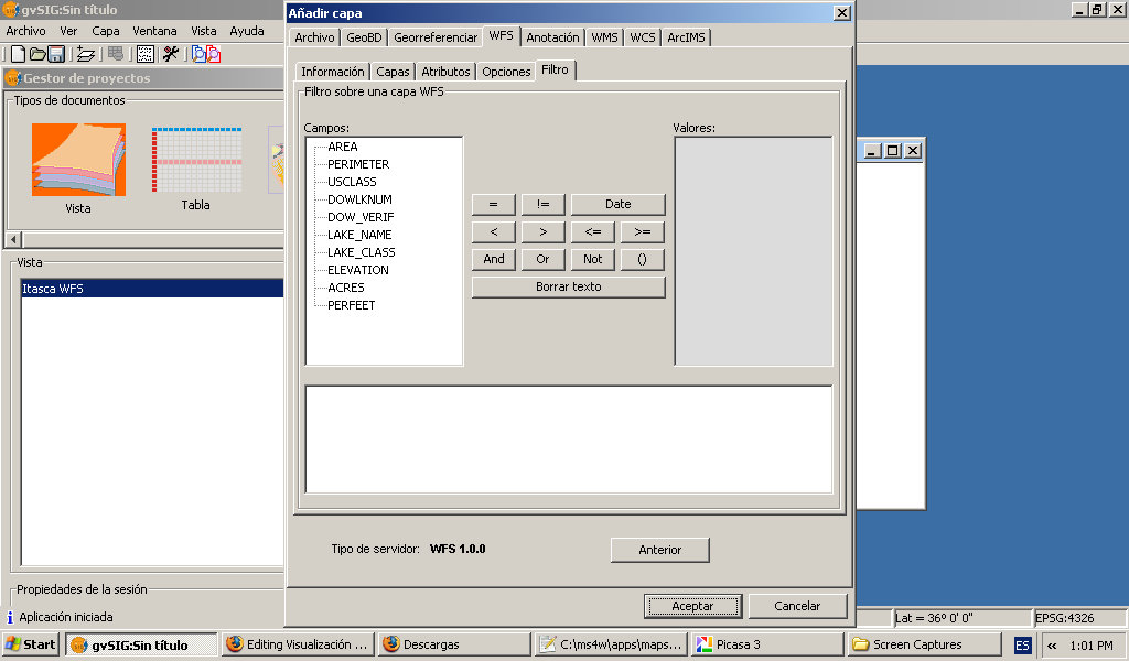
- Instalación y manejo de servicios WFS con UMN MapServer (MS4W) y gvSIG
O
Media in category "Cursos"
The following 119 files are in this category, out of 119 total.
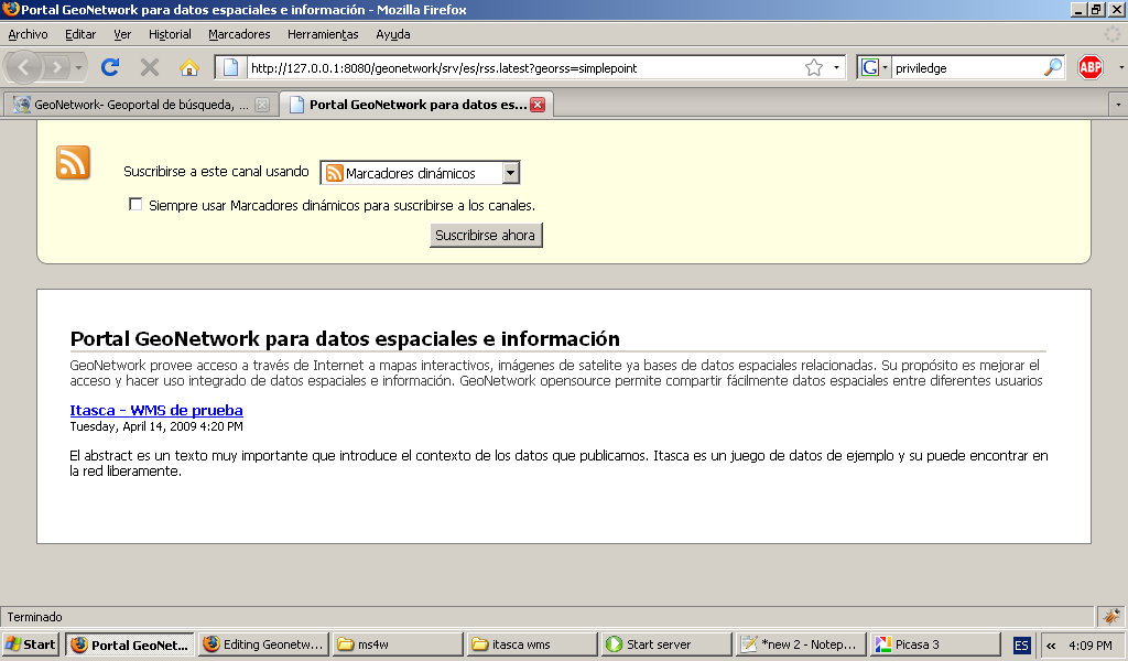
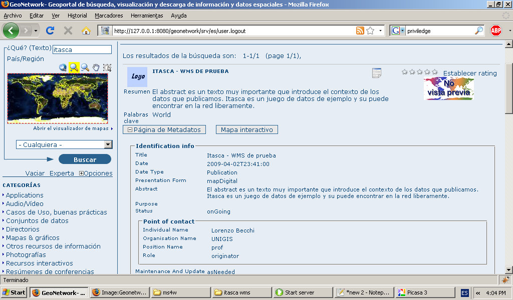
- Geogeonetwork-public-georss.jpg 1,024 × 600; 111 KB
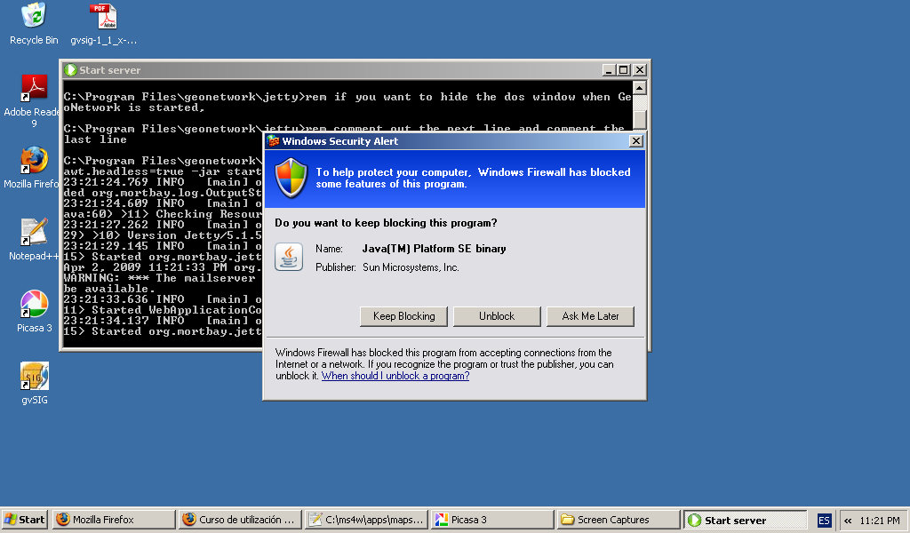
- Geoneotwork-install-firewall-unlock.jpg 1,024 × 600; 124 KB
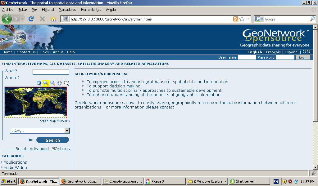
- Geonetowrk-install-firstview.jpg 1,024 × 600; 161 KB
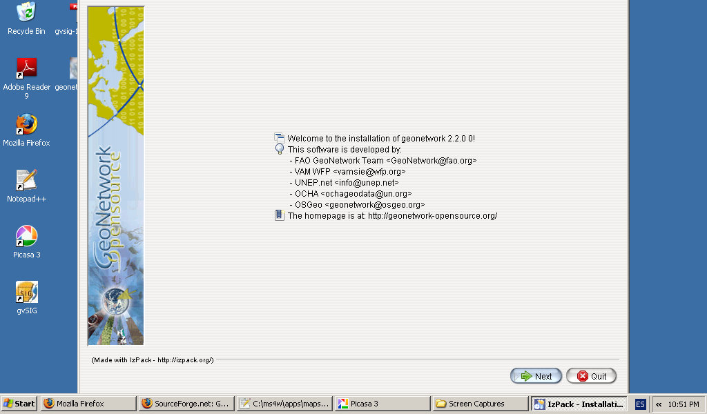
- Geonetowrok-install-first-dialague.jpg 1,024 × 600; 100 KB
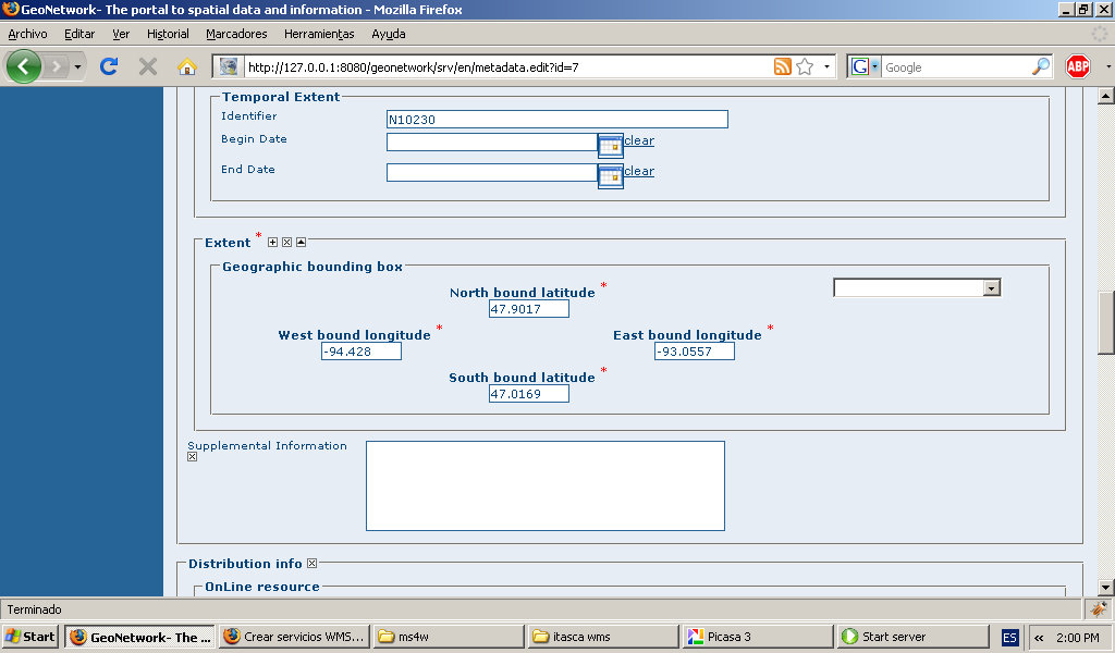
- Geonetwork-add-metadata-extent.jpg 1,024 × 600; 107 KB
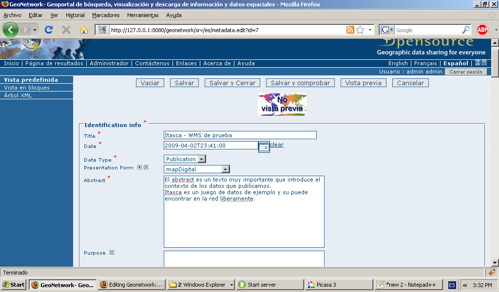
- Geonetwork-add-metadata-identification.jpg 1,024 × 600; 142 KB
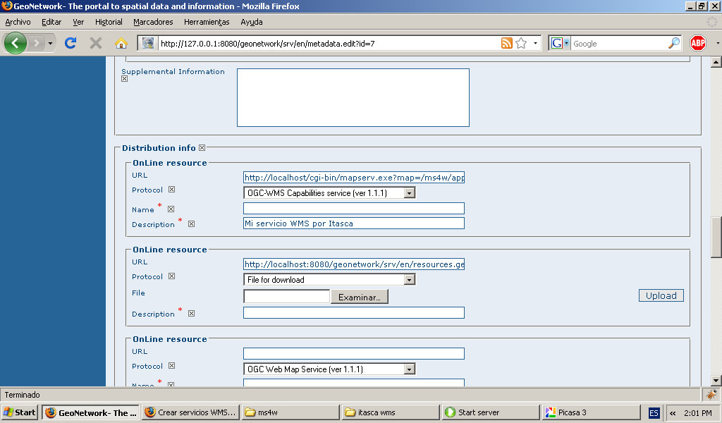
- Geonetwork-add-metadata-online-resource.jpg 1,024 × 600; 121 KB
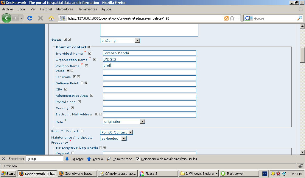
- Geonetwork-add-metadata-point-of-contact.jpg 1,024 × 600; 122 KB
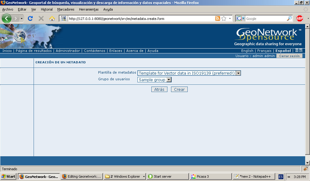
- Geonetwork-add-metadata-template.jpg 1,024 × 600; 123 KB
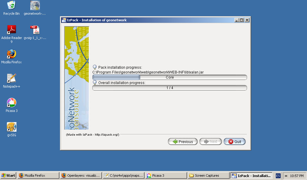
- Geonetwork-install-process.jpg 1,024 × 600; 88 KB
- Geonetwork-install-splash-screen.jpg 1,024 × 600; 56 KB
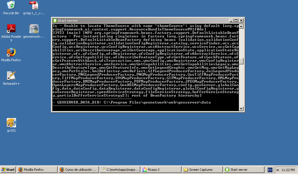
- Geonetwork-install-starting-server.jpg 1,024 × 600; 160 KB
- Geonetwork-interactive-map-sample-detail.jpg 1,024 × 600; 223 KB
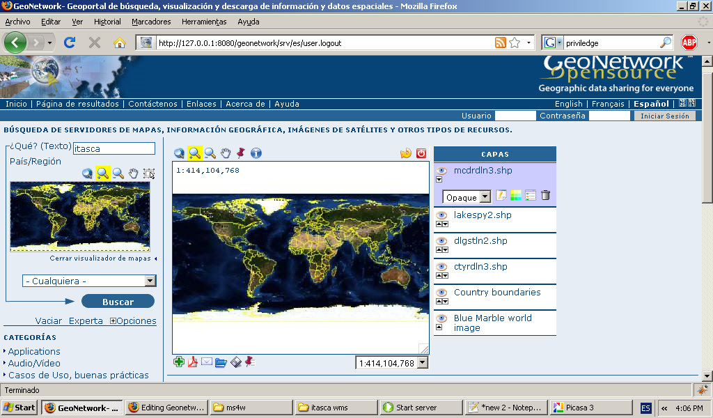
- Geonetwork-interactive-map-sample.jpg 1,024 × 600; 197 KB
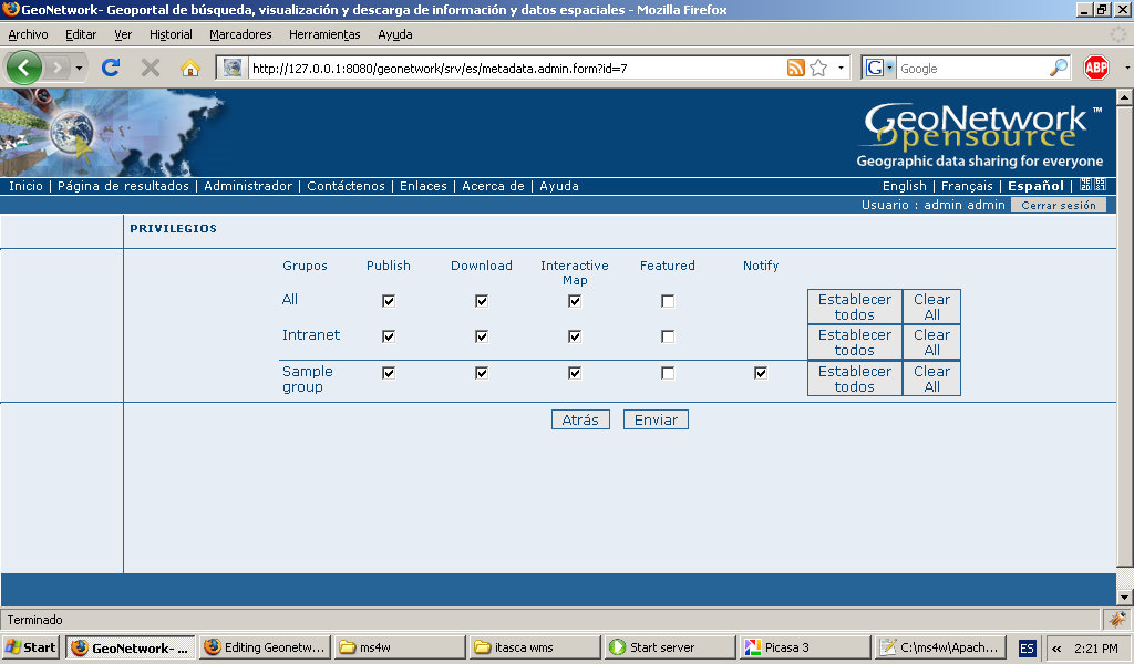
- Geonetwork-privileges.jpg 1,024 × 600; 129 KB
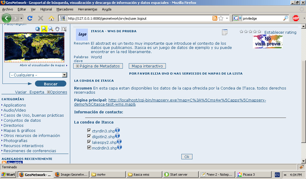
- Geonetwork-public-add-to-interactiv-map.jpg 1,024 × 600; 185 KB
- Geonetwork-public-metadata-sample.jpg 1,024 × 600; 187 KB
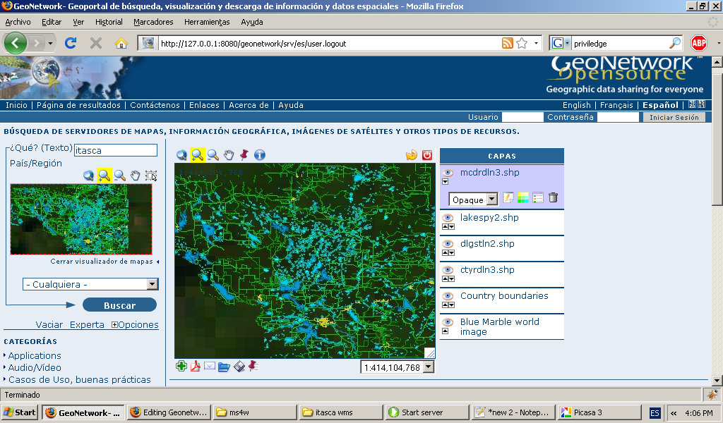
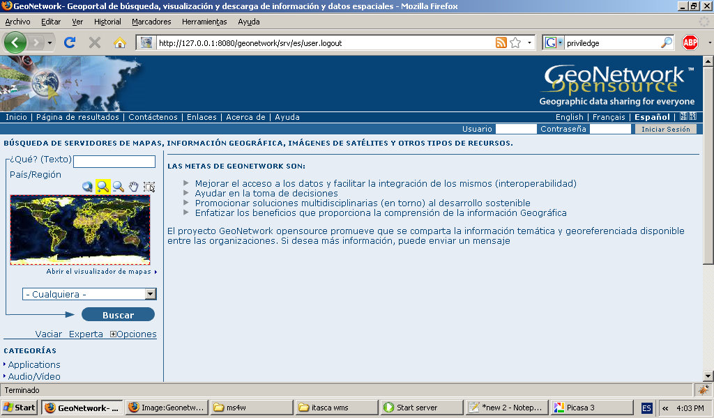
- Geonetwork-public-page.jpg 1,024 × 600; 178 KB
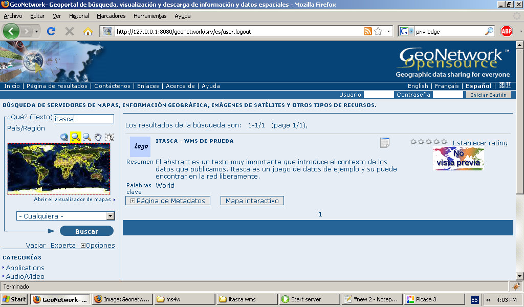
- Geonetwork-public-search.jpg 1,024 × 600; 179 KB
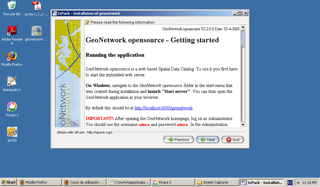
- Geonoetwork-install-getting-started.jpg 1,024 × 600; 128 KB
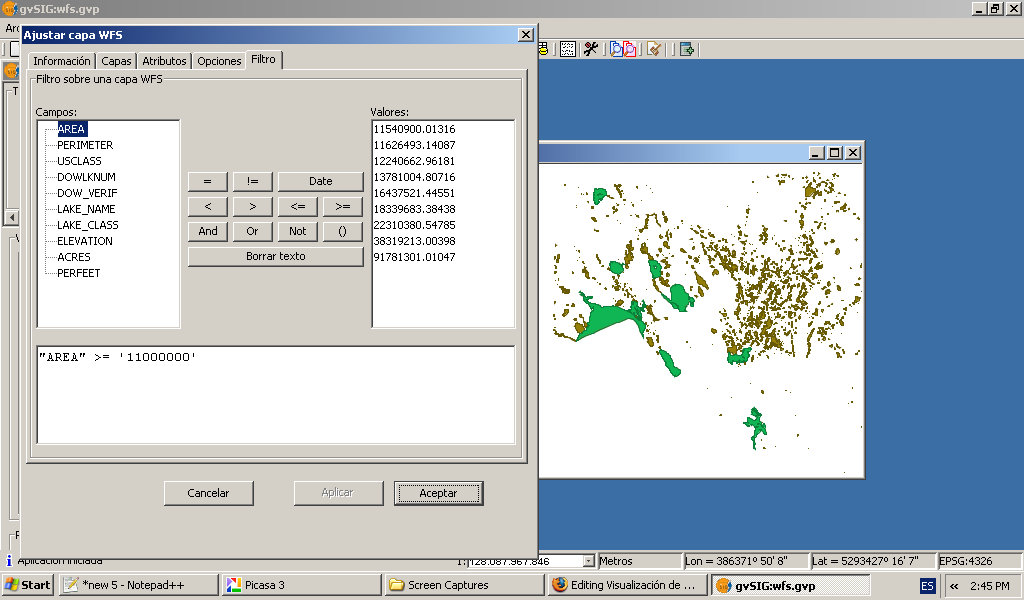
- Gvisg-wfs-setting-filter.jpg 1,024 × 600; 126 KB
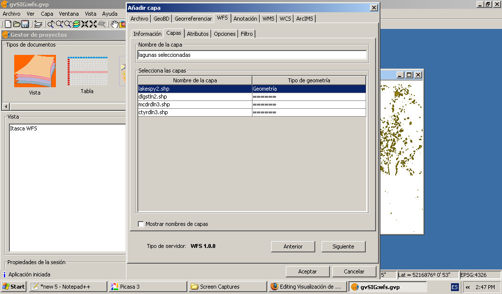
- Gvisg-wfs-setting-layer-name.jpg 1,024 × 600; 110 KB
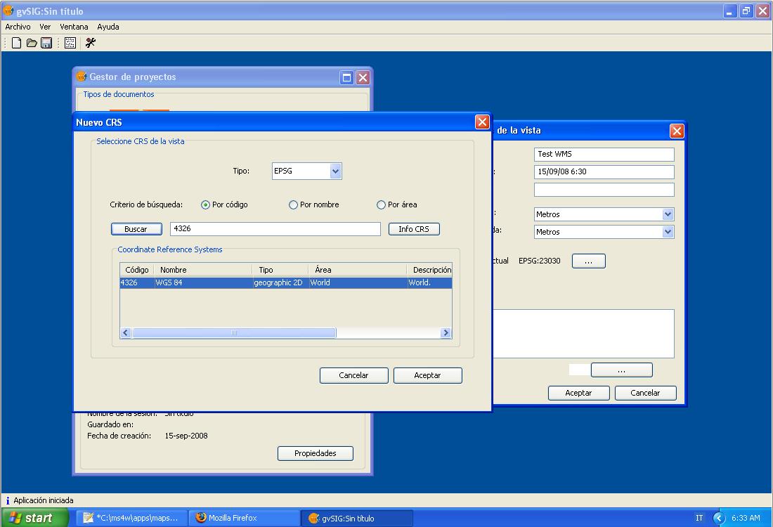
- Gvsig add layer 2 overview.jpg 1,100 × 753; 136 KB
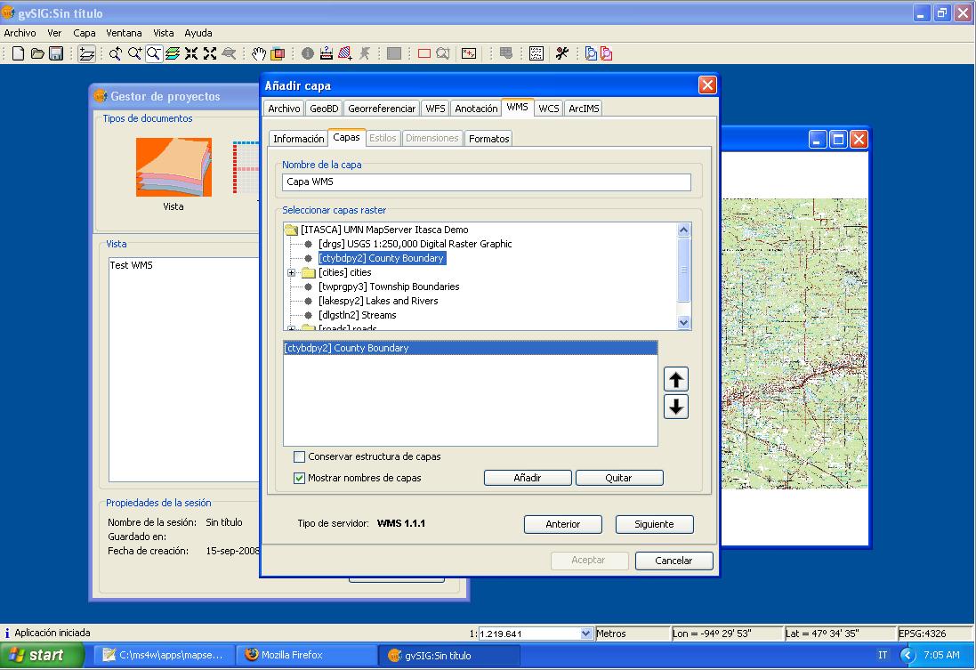
- Gvsig add layer 2.jpg 1,097 × 753; 125 KB
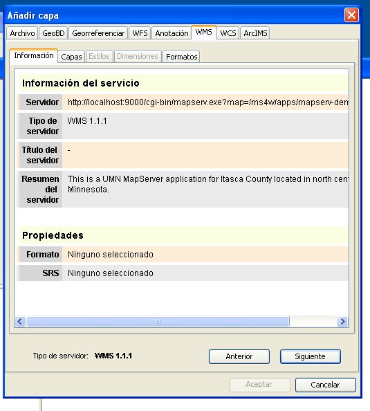
- Gvsig add layer panel 2.jpg 535 × 594; 54 KB
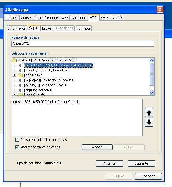
- Gvsig add layer panel 3.jpg 553 × 600; 62 KB
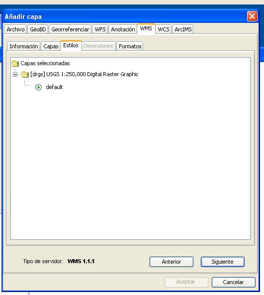
- Gvsig add layer panel 4.jpg 531 × 593; 36 KB
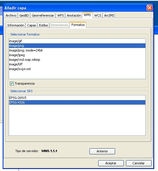
- Gvsig add layer panel 5.jpg 542 × 588; 50 KB
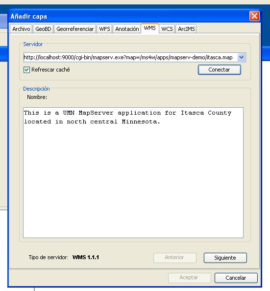
- Gvsig add layer panel.jpg 551 × 594; 44 KB
- Gvsig adding view 2.jpg 1,100 × 750; 81 KB
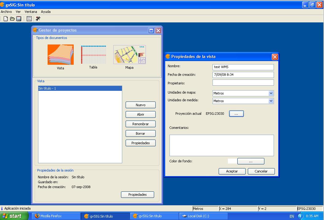
- Gvsig adding view.jpg 1,055 × 717; 79 KB
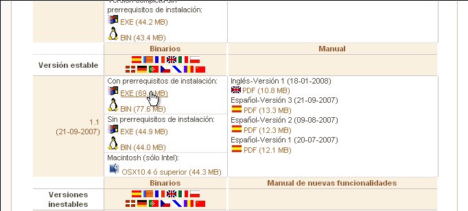
- Gvsig download link.jpg 682 × 308; 43 KB
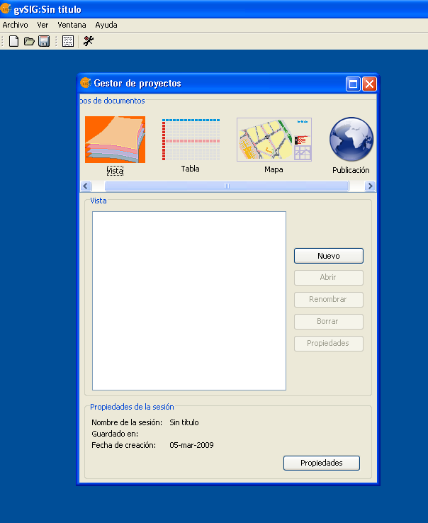
- Gvsig extension publicacion web shot1.png 604 × 738; 45 KB
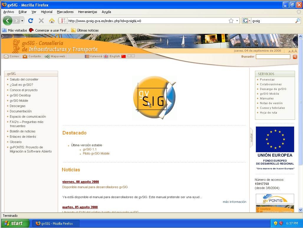
- Gvsig home page.jpg 1,028 × 773; 98 KB
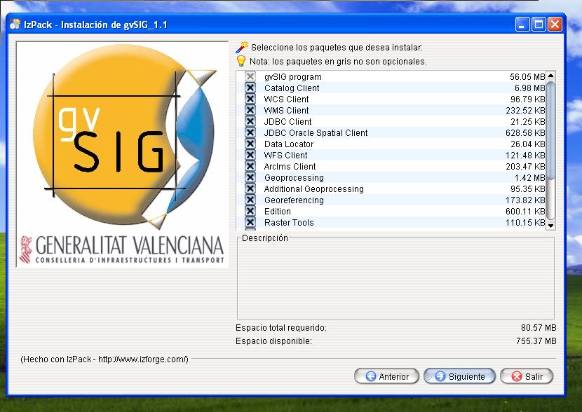
- Gvsig installer 1.jpg 682 × 308; 32 KB
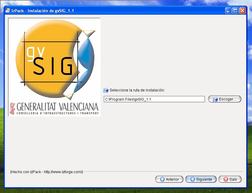
- Gvsig installer 10.jpg 827 × 633; 57 KB
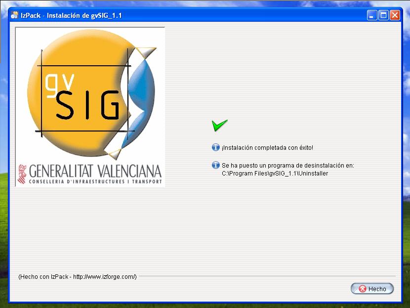
- Gvsig installer 11.jpg 830 × 623; 59 KB
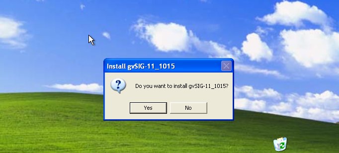
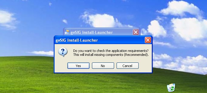
- Gvsig installer 2.jpg 682 × 308; 37 KB
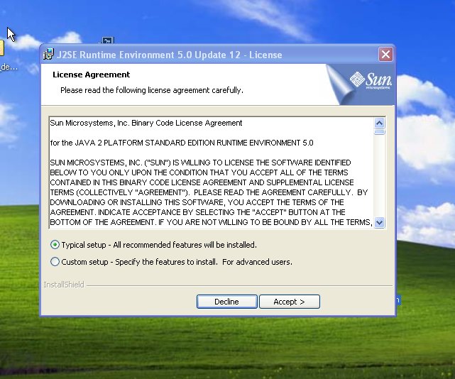
- Gvsig installer 3.jpg 641 × 534; 83 KB
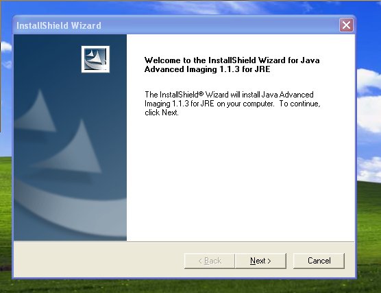
- Gvsig installer 4.jpg 556 × 427; 32 KB
- Gvsig installer 5.jpg 535 × 410; 32 KB
- Gvsig installer 6.jpg 367 × 264; 22 KB
- Gvsig installer 7.jpg 831 × 574; 64 KB
- Gvsig installer 8.jpg 844 × 571; 103 KB
- Gvsig installer 9.jpg 830 × 588; 81 KB
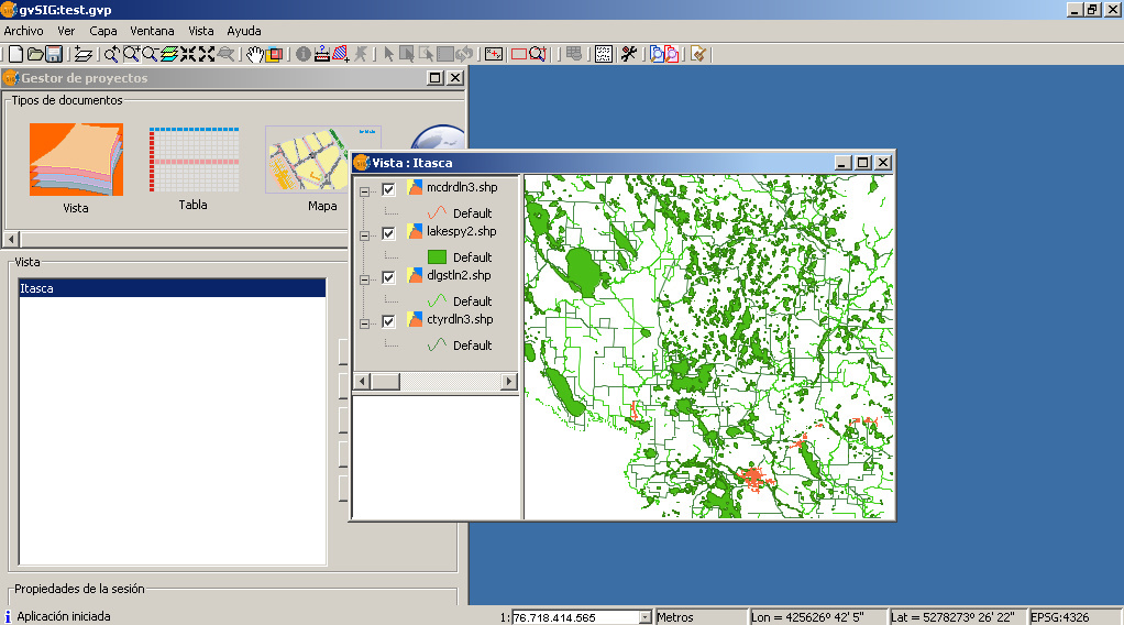
- Gvsig itasca no style.jpg 1,022 × 568; 262 KB
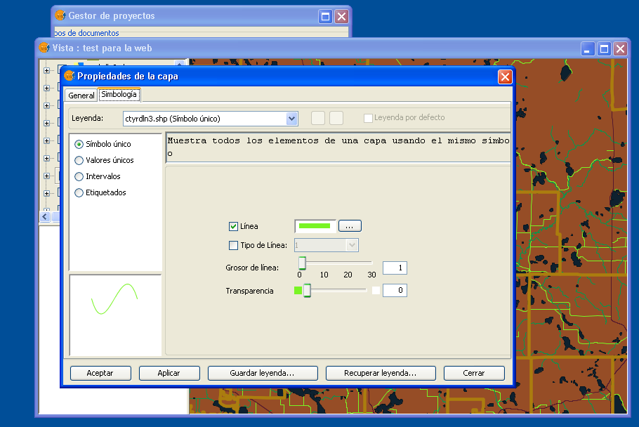
- Gvsig layer simbology.png 910 × 608; 89 KB
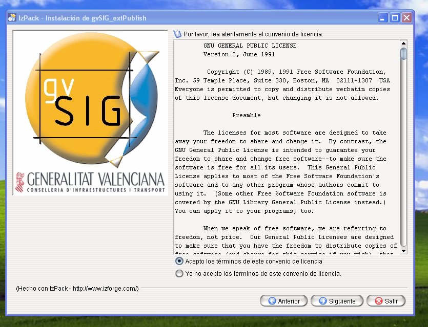
- Gvsig mapserver module check license agree.jpg 835 × 639; 132 KB
- Gvsig mapserver module check license.jpg 837 × 636; 104 KB
- Gvsig mapserver module check packages.jpg 864 × 657; 86 KB
- Gvsig mapserver module check requirements.jpg 402 × 259; 25 KB
- Gvsig mapserver module download page.jpg 1,063 × 538; 103 KB
- Gvsig mapserver module find gvsig.jpg 849 × 642; 72 KB
- Gvsig mapserver module home page.jpg 1,063 × 559; 114 KB
- Gvsig mapserver module install ok.jpg 854 × 636; 73 KB
- Gvsig menu layer.png 903 × 635; 186 KB
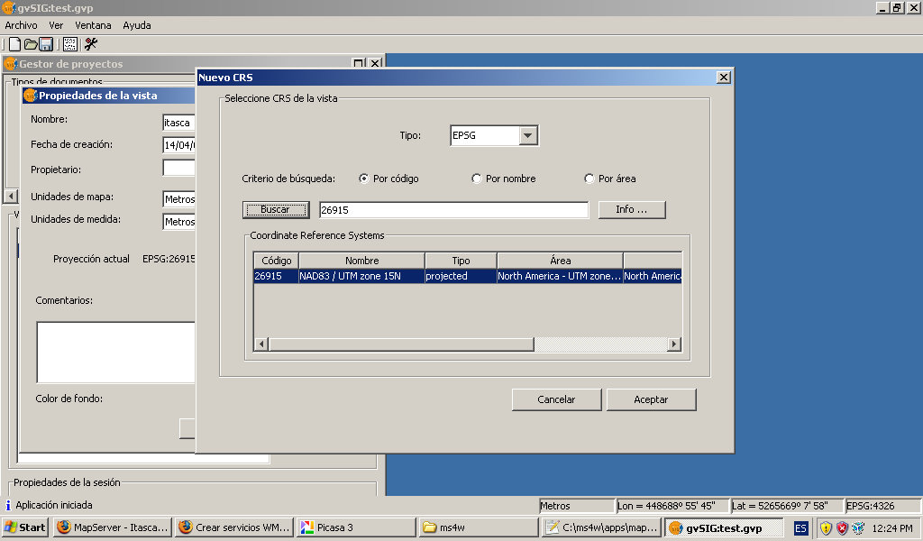
- GvSig propriedades vista.jpg 1,024 × 600; 99 KB
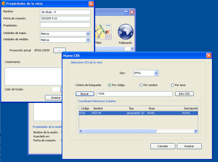
- GvSig propriedades vista.png 866 × 644; 55 KB
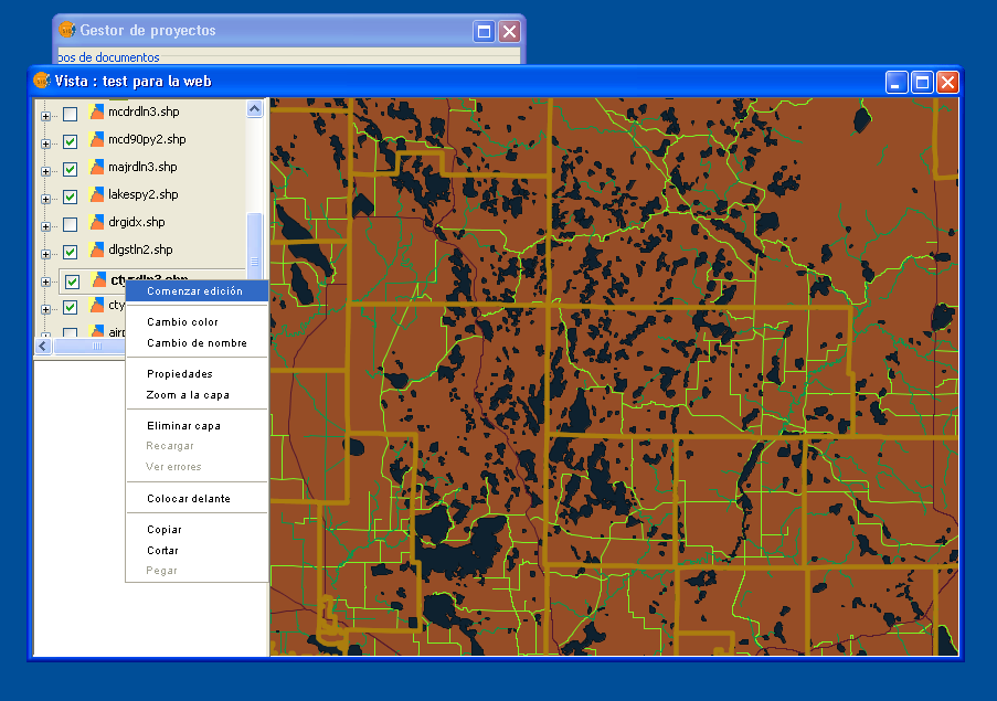
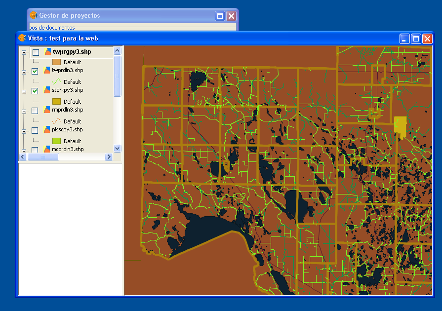
- Gvsig view for web.png 895 × 630; 177 KB
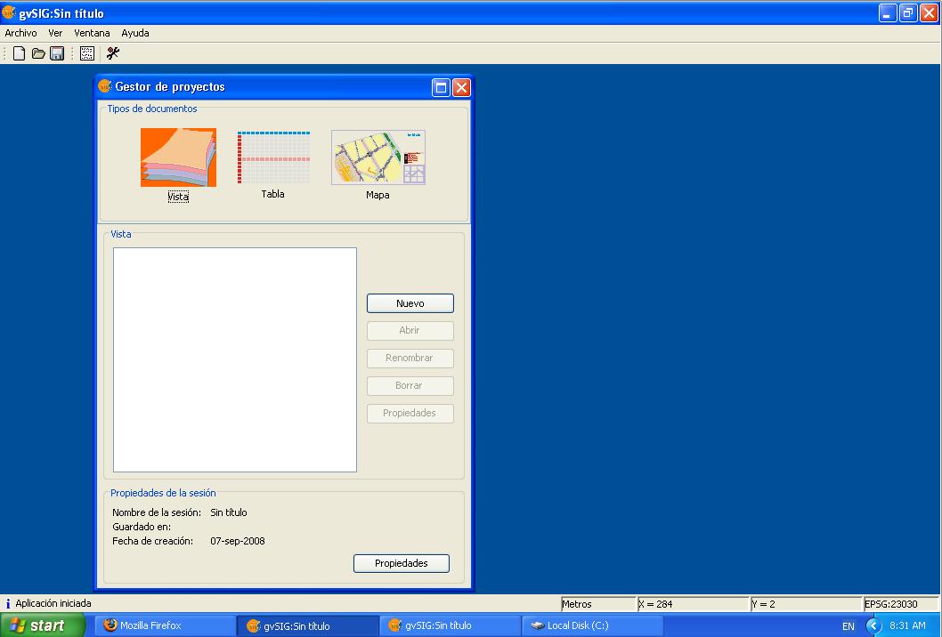
- Gvsig vista 1.jpg 1,058 × 716; 57 KB
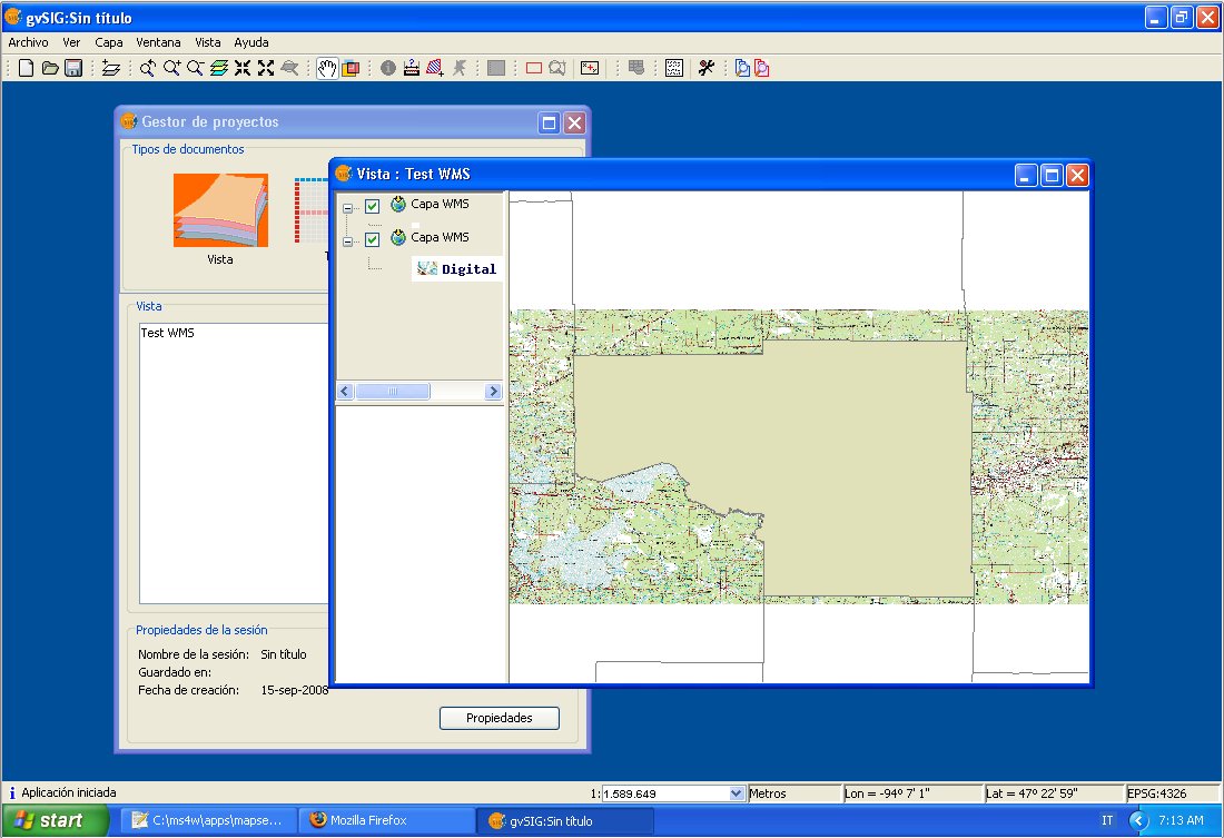
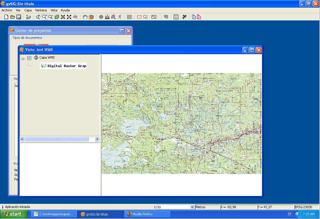
- Gvsig wms layer.jpg 1,098 × 751; 148 KB
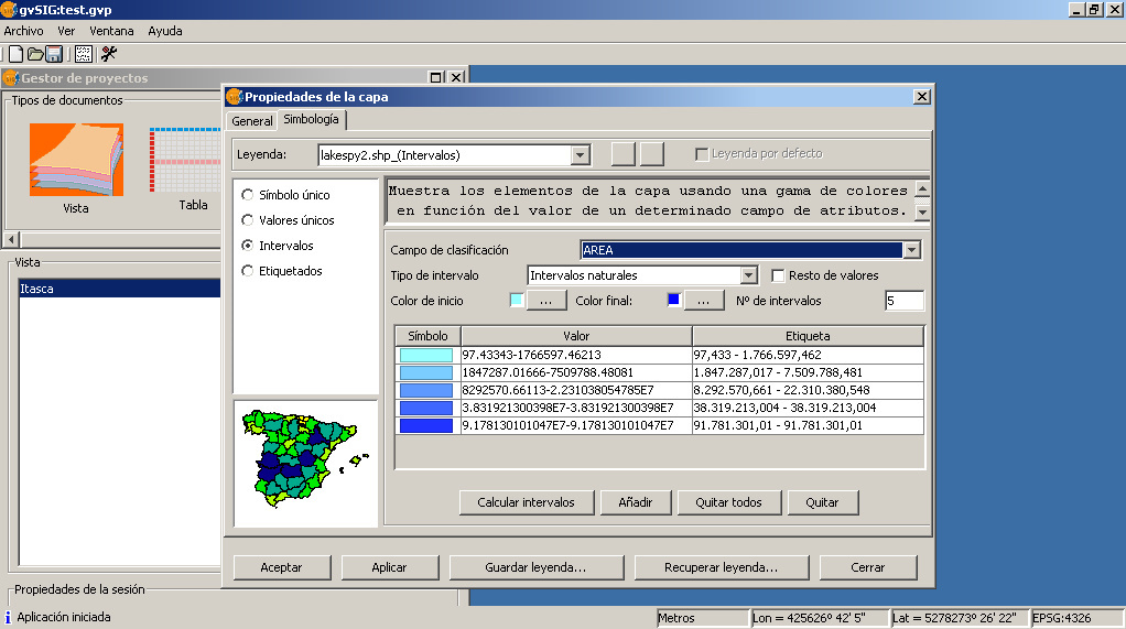
- Gvsig-itasca-symbology-intervals.jpg 1,022 × 571; 188 KB
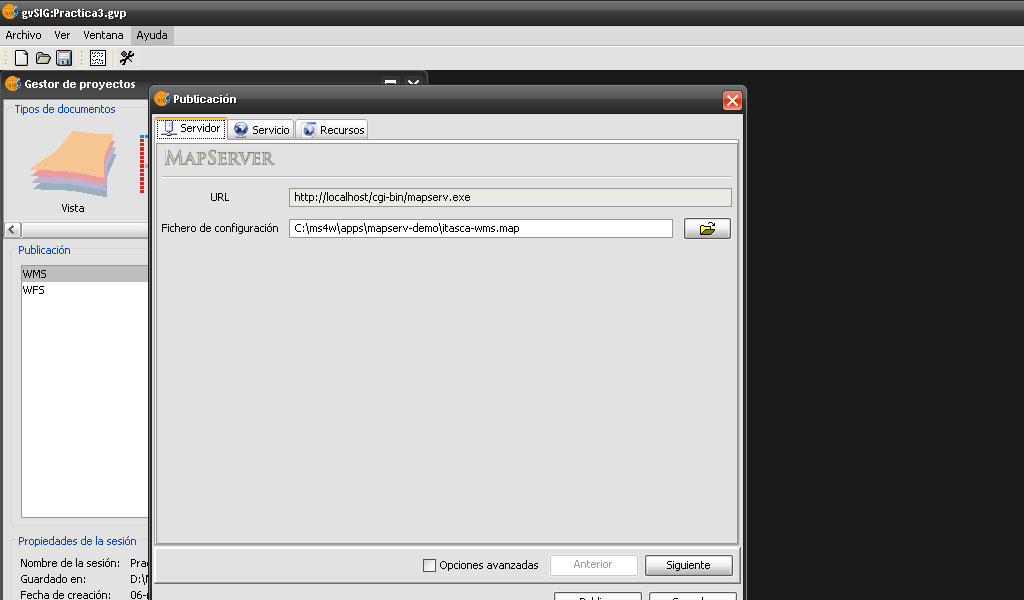
- Gvsig-pubish-mapfile.jpg 1,024 × 600; 88 KB
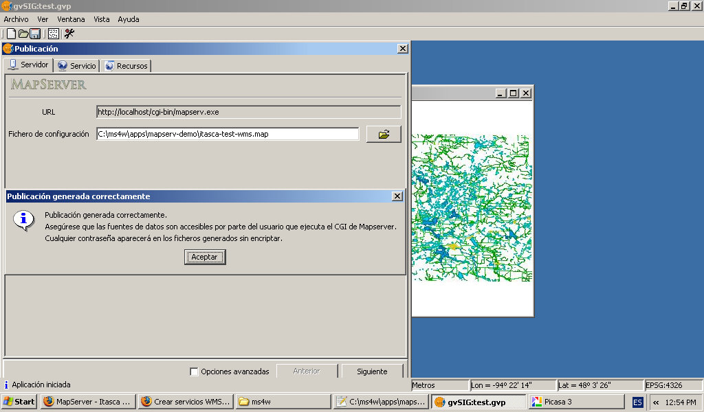
- Gvsig-publish-end.jpg 1,024 × 600; 120 KB
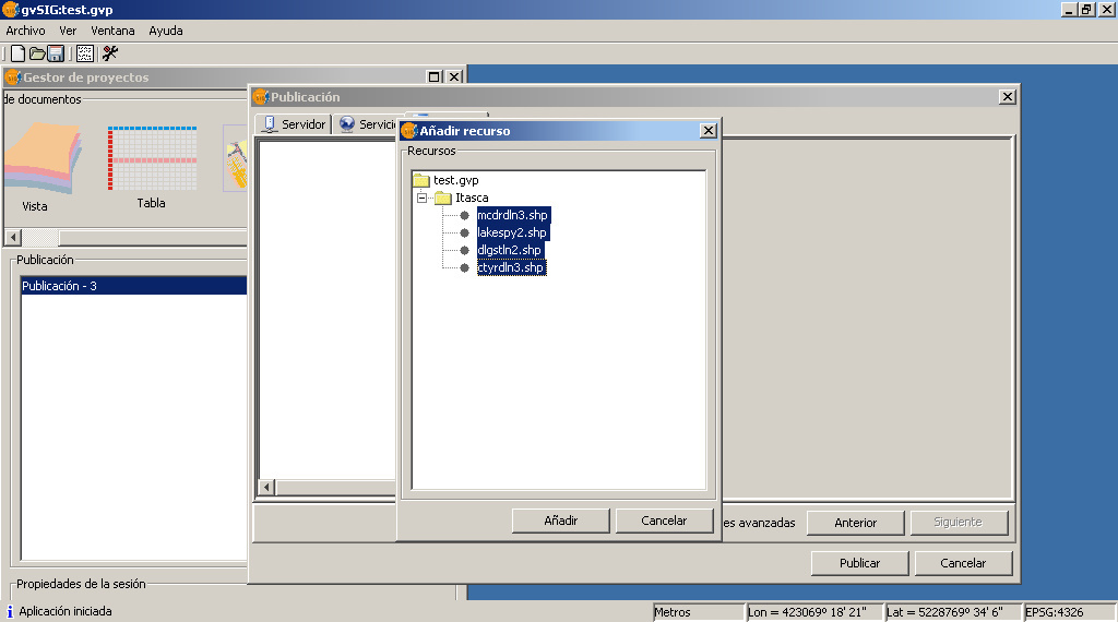
- Gvsig-publish-layers.jpg 1,024 × 570; 116 KB
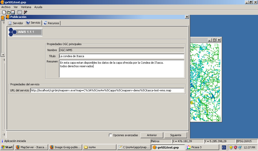
- Gvsig-publish-metadata.jpg 1,024 × 600; 140 KB
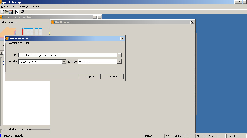
- Gvsig-publish-server.jpg 1,017 × 570; 86 KB
- Gvsig-publish-wfs-end.jpg 1,024 × 600; 110 KB
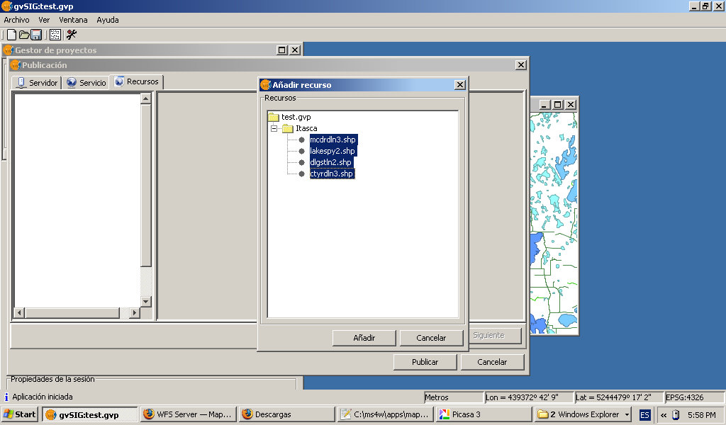
- Gvsig-publish-wfs-layers.jpg 1,024 × 600; 100 KB
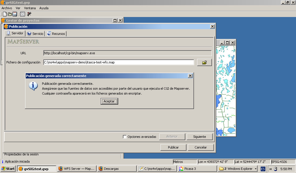
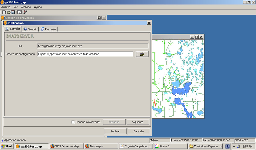
- Gvsig-publish-wfs-mapfile.jpg 1,024 × 600; 118 KB
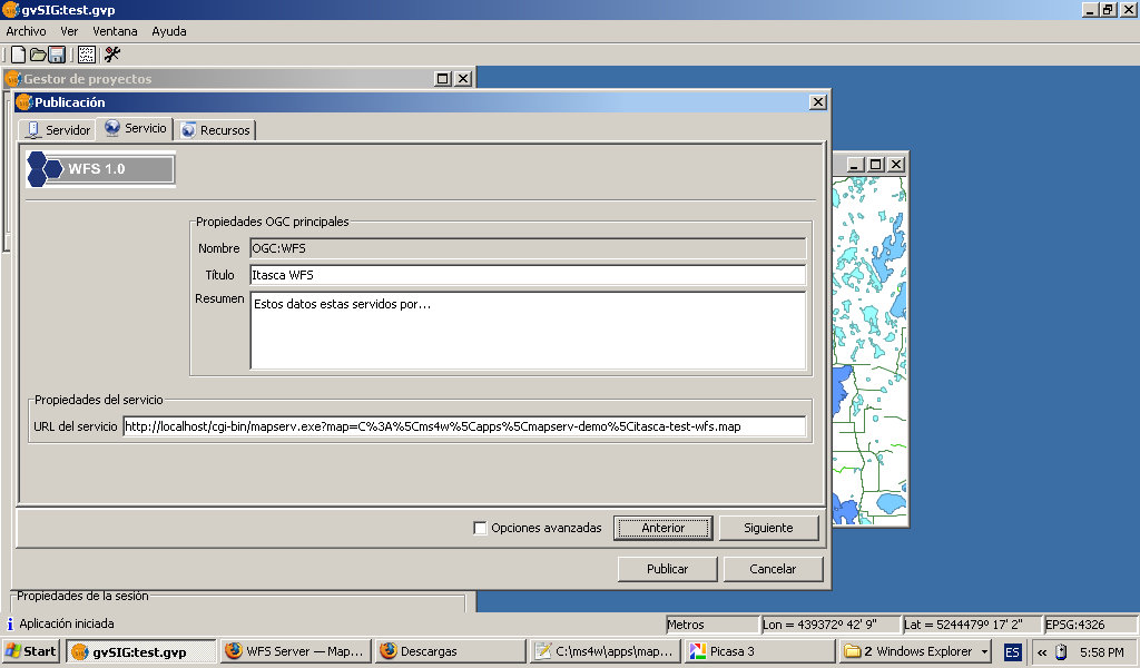
- Gvsig-publish-wfs-metadata.jpg 1,024 × 600; 110 KB
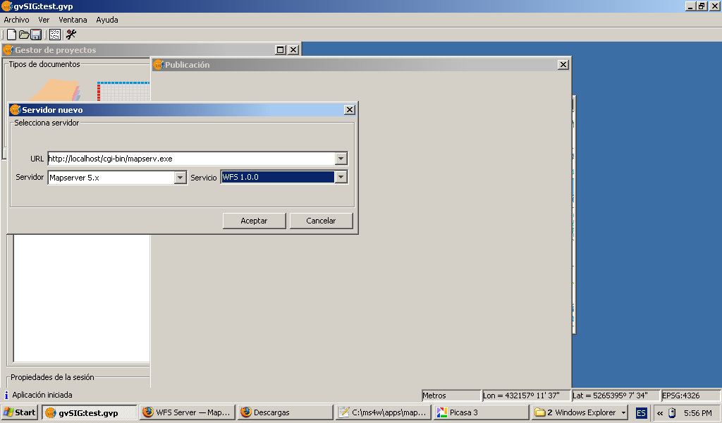
- Gvsig-publish-wfs-server.jpg 1,024 × 600; 74 KB
- Gvsig-wfs-add-layer.jpg 1,024 × 600; 101 KB
- Gvsig-wfs-alert-maxfeature.jpg 1,024 × 600; 89 KB
- Gvsig-wfs-choose-properties.jpg 1,024 × 600; 98 KB
- Gvsig-wfs-filter.jpg 1,024 × 600; 98 KB
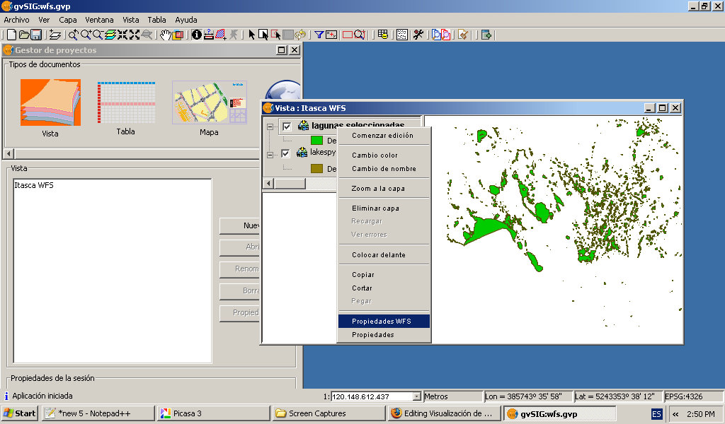
- Gvsig-wfs-layer-menu.jpg 1,024 × 600; 143 KB
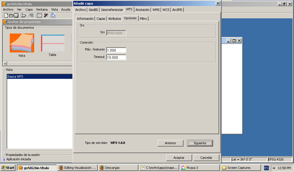
- Gvsig-wfs-maxfeatures.jpg 1,024 × 600; 89 KB
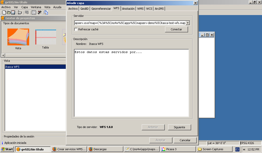
- Gvsig-wfs-server-connect.jpg 1,024 × 600; 89 KB
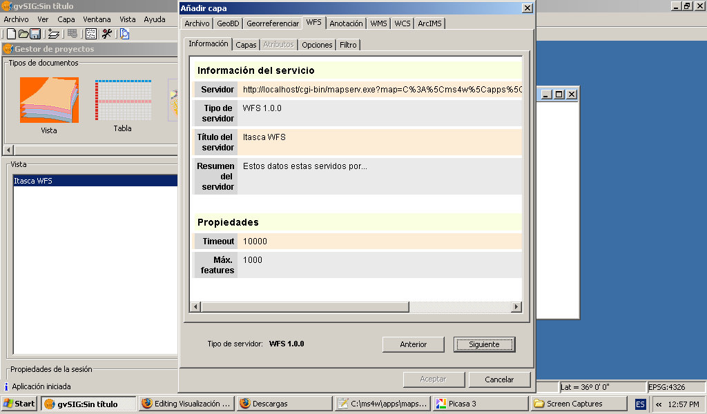
- Gvsig-wfs-server-details.jpg 1,024 × 600; 108 KB
- Gvsig-wfs-show-layer.jpg 1,024 × 600; 128 KB
- Home page ms4w.jpg 1,038 × 850; 159 KB
- Itasca 1.jpg 644 × 471; 49 KB
- Itasca 2.jpg 796 × 532; 56 KB
- Itasca demo link.jpg 597 × 176; 20 KB
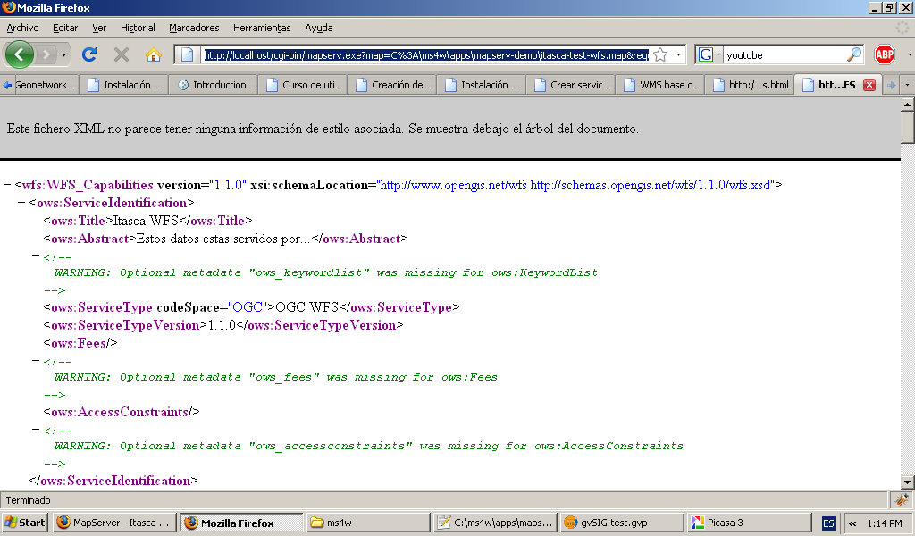
- Mapserver-wfs-getCapabilities.jpg 1,024 × 600; 150 KB
- Ms4w base url.jpg 436 × 86; 13 KB
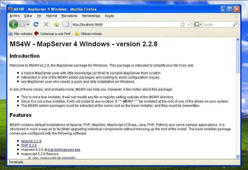
- Ms4w home page.jpg 869 × 595; 102 KB
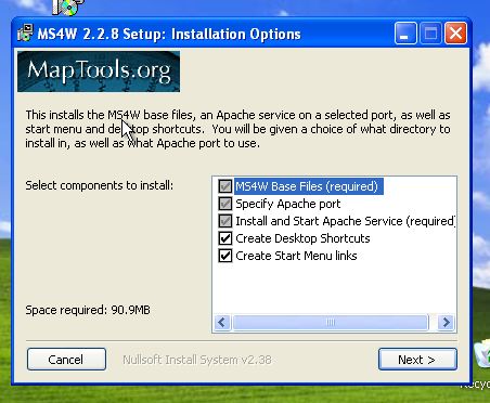
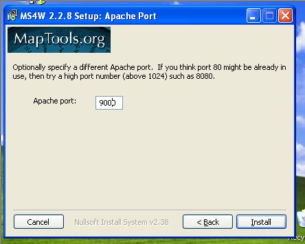
- Ms4w installer 1.jpg 452 × 372; 35 KB
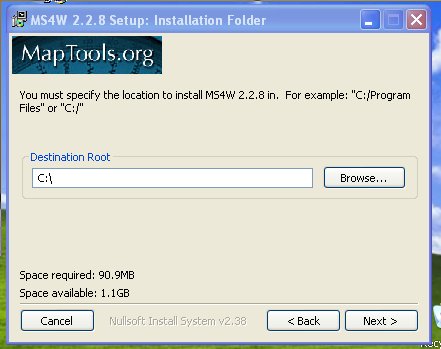
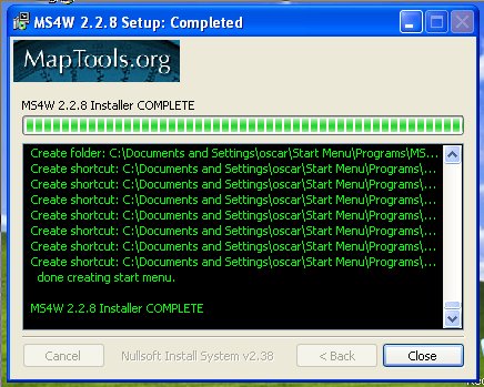
- Ms4w installer 2.jpg 441 × 349; 29 KB
- Ms4w installer 3.jpg 444 × 356; 27 KB
- Ms4w installer 4.jpg 436 × 349; 57 KB
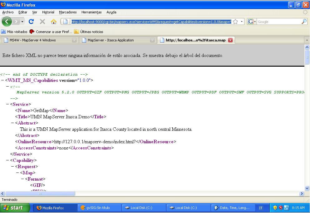
- Ms4w itasca getCapabilities.jpg 993 × 684; 92 KB
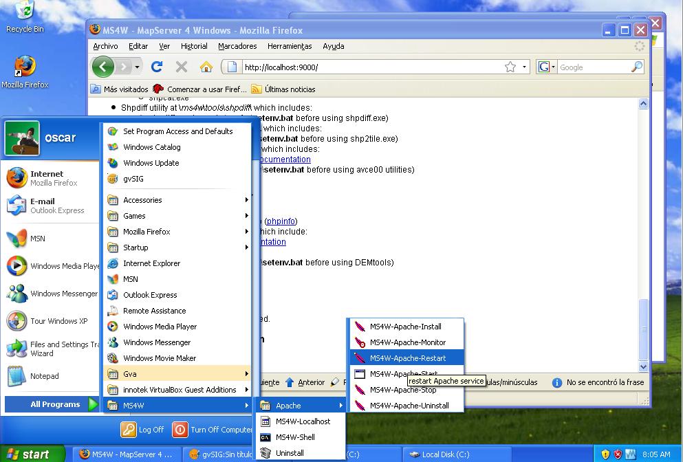
- Ms4w restart server.jpg 993 × 672; 109 KB
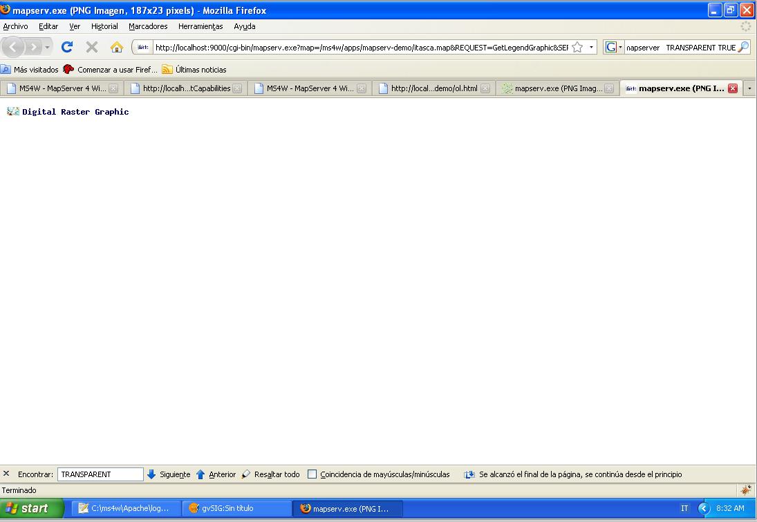
- Ms4w wms getLegendGraphics.jpg 1,095 × 756; 68 KB
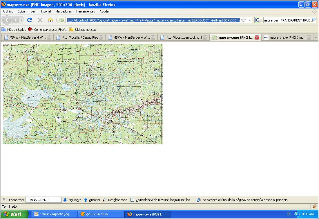
- Ms4w wms getMap.jpg 1,100 × 754; 155 KB
- Ms4w.exe link.jpg 550 × 188; 17 KB
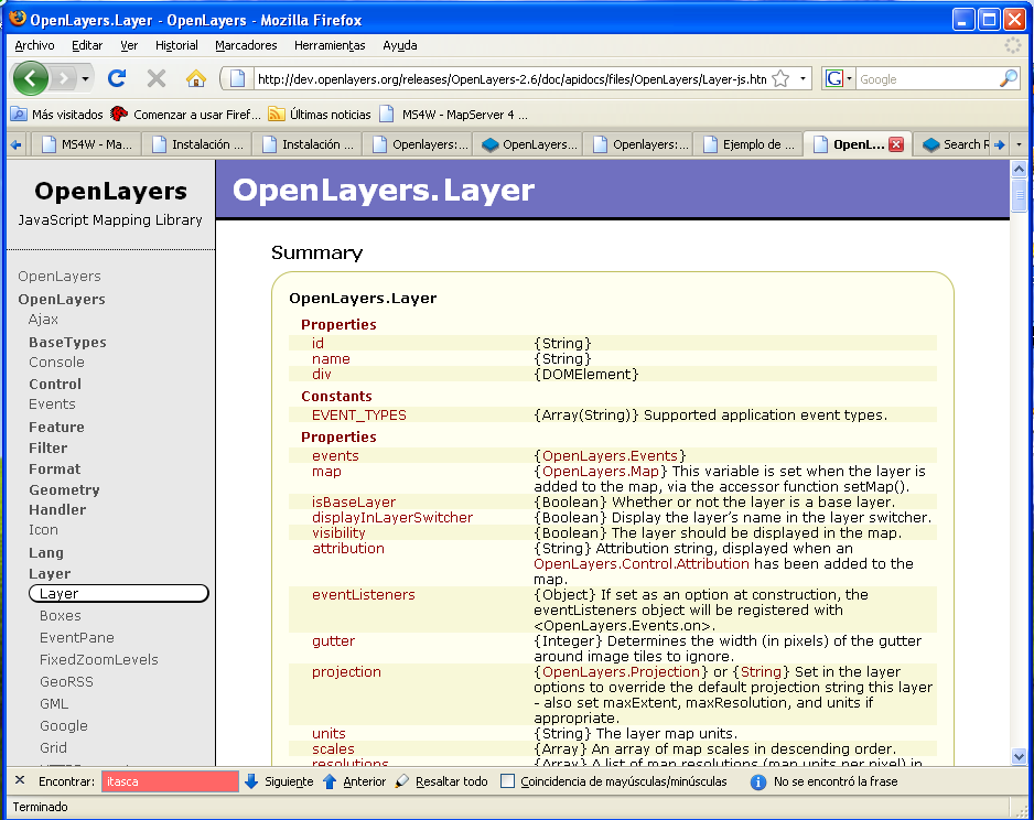
- Openlayers API web.png 938 × 744; 93 KB
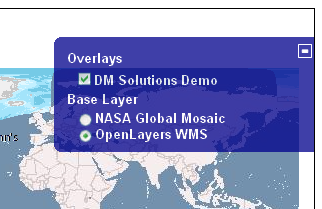
- Openlayers control layerswitcher.png 322 × 209; 63 KB
- Openlayers control MousePosition.png 221 × 77; 9 KB
- Openlayers control MouseToolbar.png 58 × 79; 7 KB
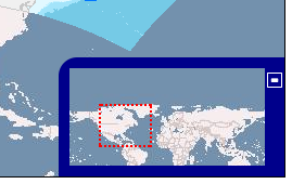
- Openlayers control OverviewMap.png 269 × 170; 39 KB
- Openlayers control pan.png 82 × 75; 8 KB
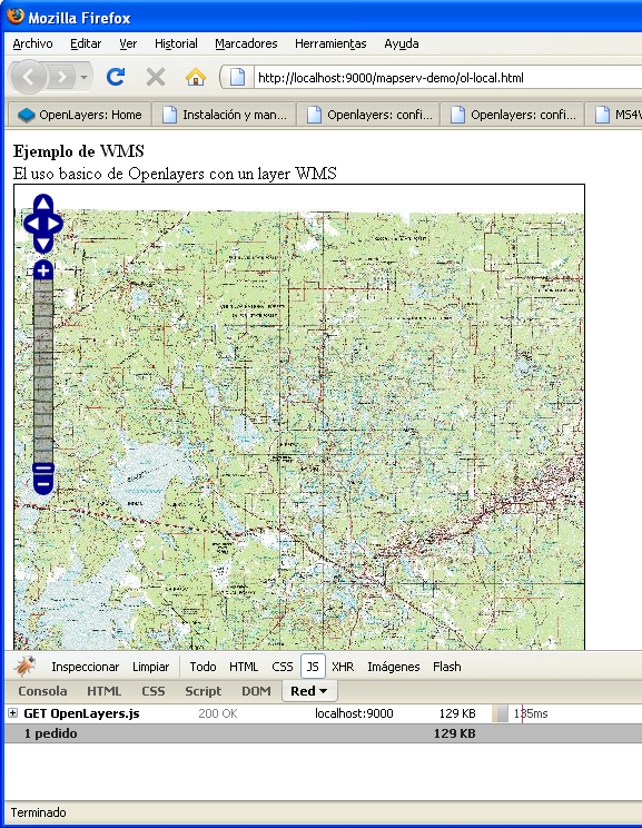
- Openlayers Control PanZoomBar firebug.png 577 × 744; 566 KB
- Openlayers control Permalink.png 203 × 173; 7 KB
- Openlayers control ScaleLine.png 134 × 59; 6 KB
- Openlayers control zoom.png 79 × 114; 13 KB
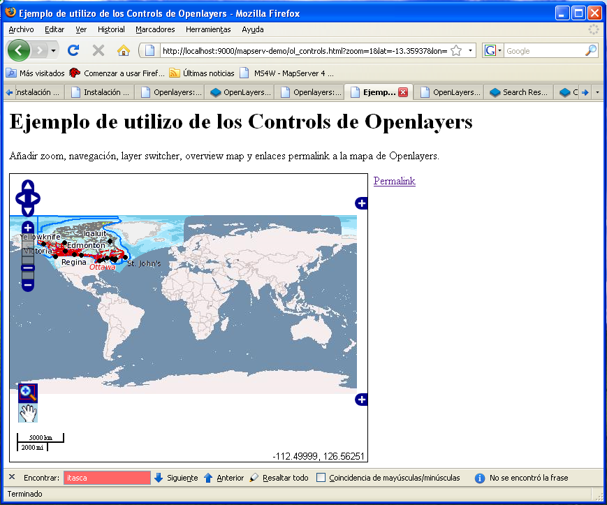
- Openlayers controls overview.png 869 × 723; 210 KB
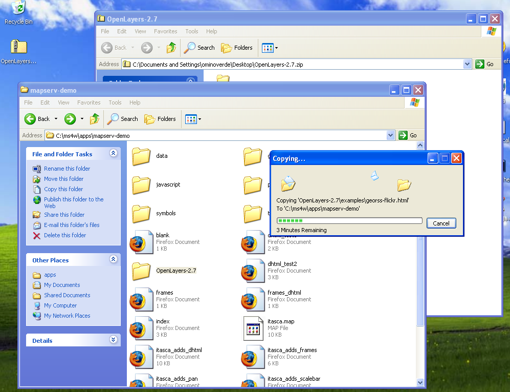
- Openlayers copy on working dir.png 997 × 765; 245 KB
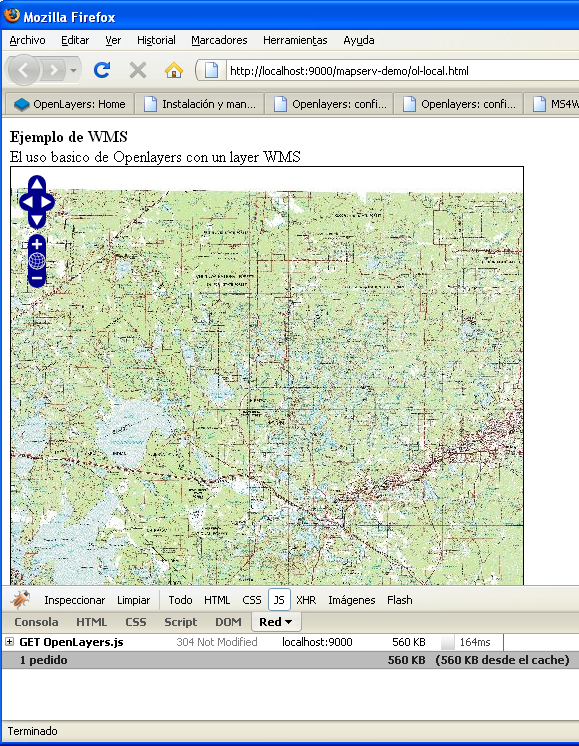
- Openlayers firebug showing js weigth.png 579 × 746; 566 KB
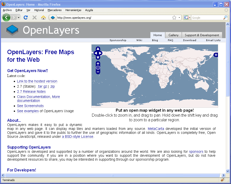
- Openlayers home page.png 936 × 748; 104 KB
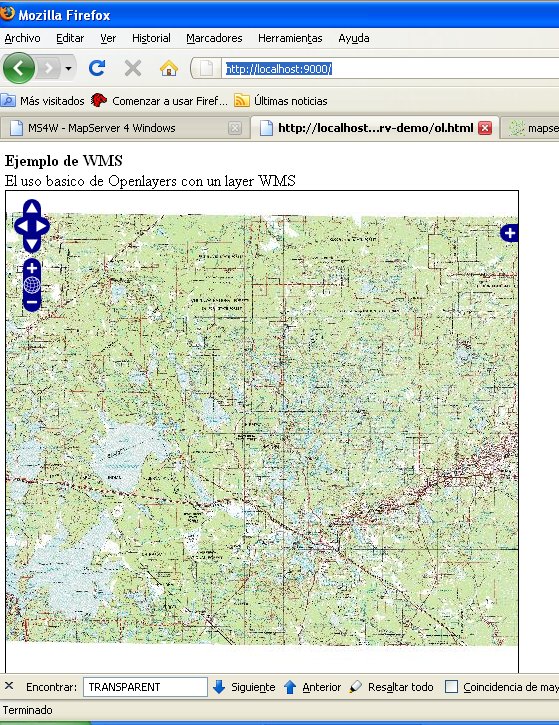
- Openlayers itasca base map.jpg 559 × 725; 163 KB
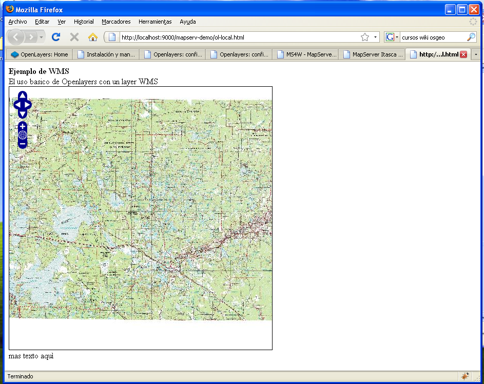
- Openlayers map with local library.png 943 × 748; 653 KB
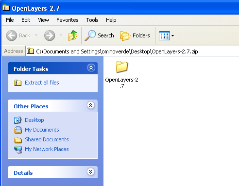
- Openlayers zip file.png 492 × 383; 32 KB
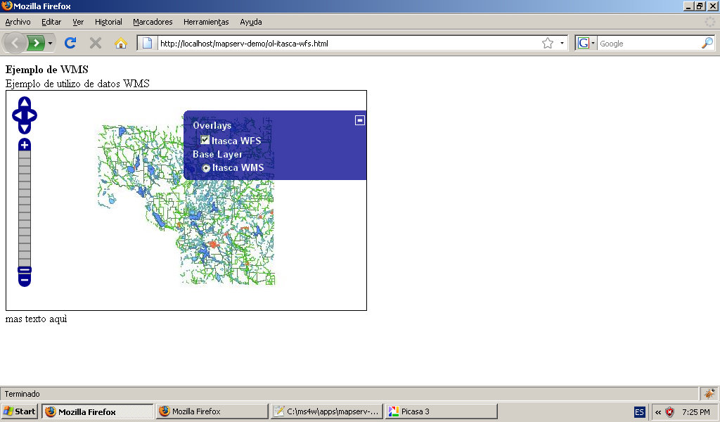
- Openlayers-itasca-wfs+filter.jpg 1,024 × 600; 96 KB
- Openlayers-itasca-wfs-maxfeatures.jpg 1,024 × 600; 93 KB
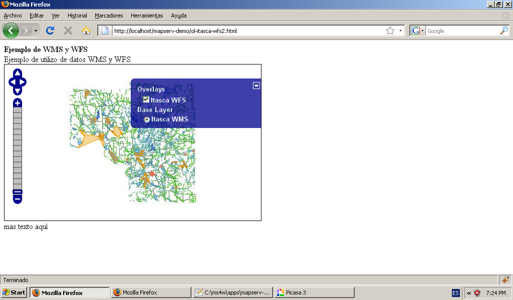
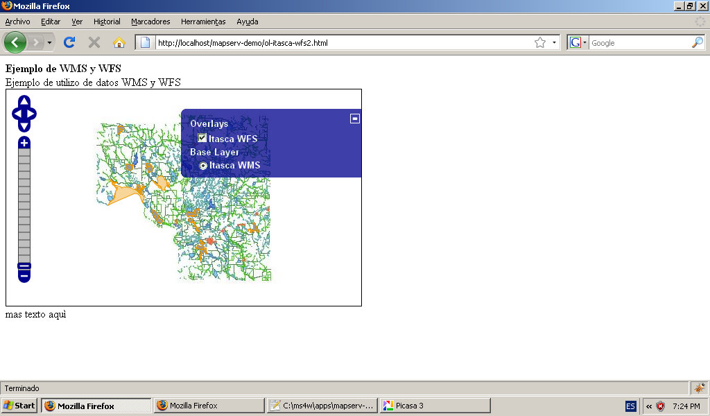
- Openlayers-itasca-wms+wfs.jpg 1,024 × 600; 96 KB
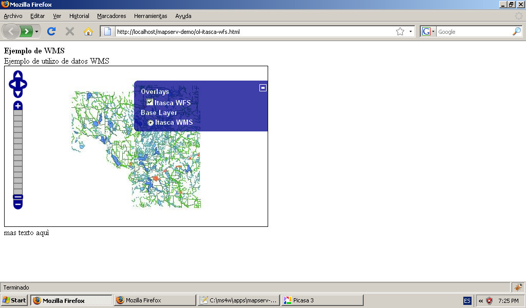
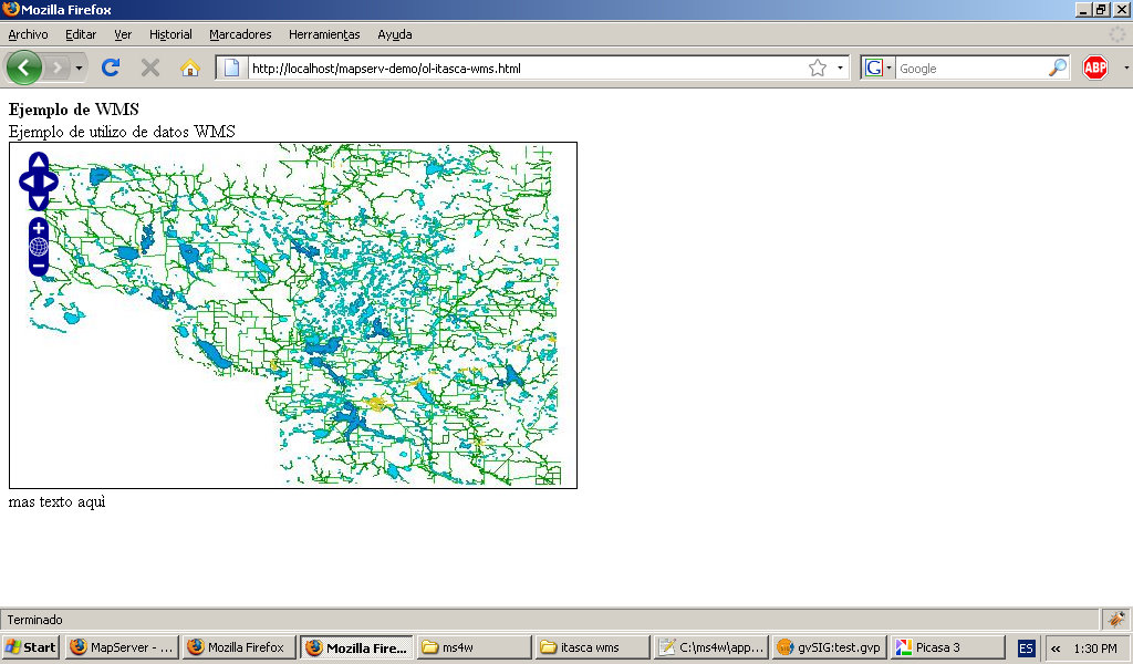
- Openlayers-itasca-wms.jpg 1,024 × 600; 93 KB
- Openlayers-show-ows-from-gvsig-mapserver.jpg 1,024 × 600; 149 KB
