Help
Uploads by Wiki-Ominiverdi
Jump to navigation
Jump to search
This special page shows all uploaded files.
File list
Items per page:
20
50
100
250
500
Search for media name:
Username:
Include old versions of files
Go
First page
Previous page
Next page
Last page
Date
Name
Thumbnail
Size
Description
Versions
09:47, 27 February 2009
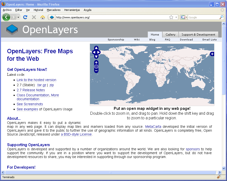
Openlayers home page.png
(
file
)
104 KB
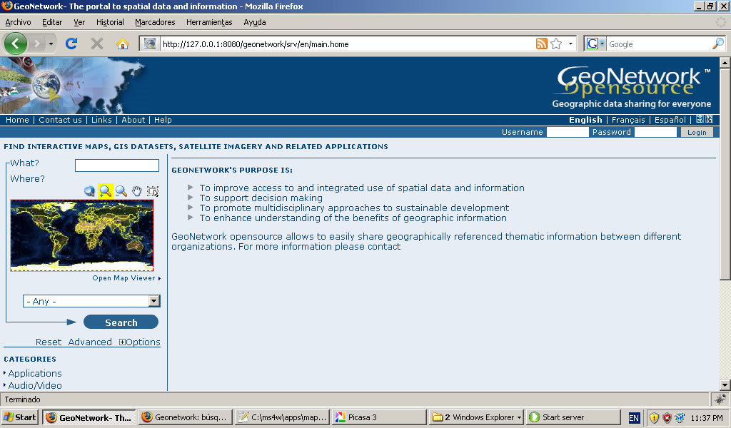
Openlayers home page
Category:Español
Category:Education
Category:Cursos
1
03:34, 25 September 2008
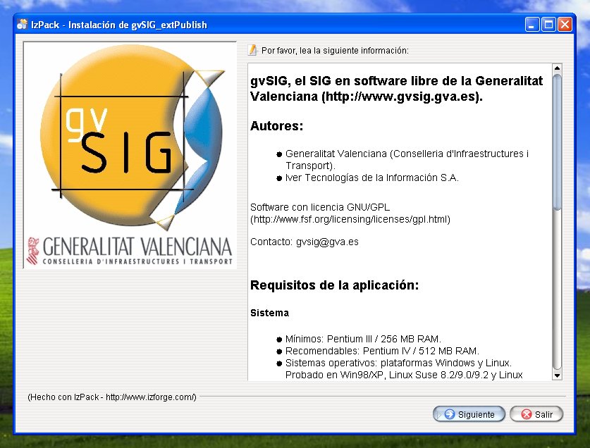
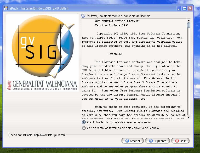
Gvsig mapserver module check license.jpg
(
file
)
104 KB
gvsig web publish modulo install: check license
1
06:44, 14 April 2009
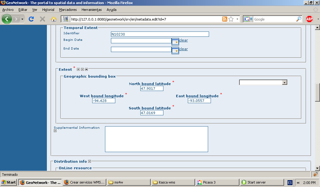
Geonetwork-add-metadata-extent.jpg
(
file
)
107 KB
Category:Education
Category:Cursos
1
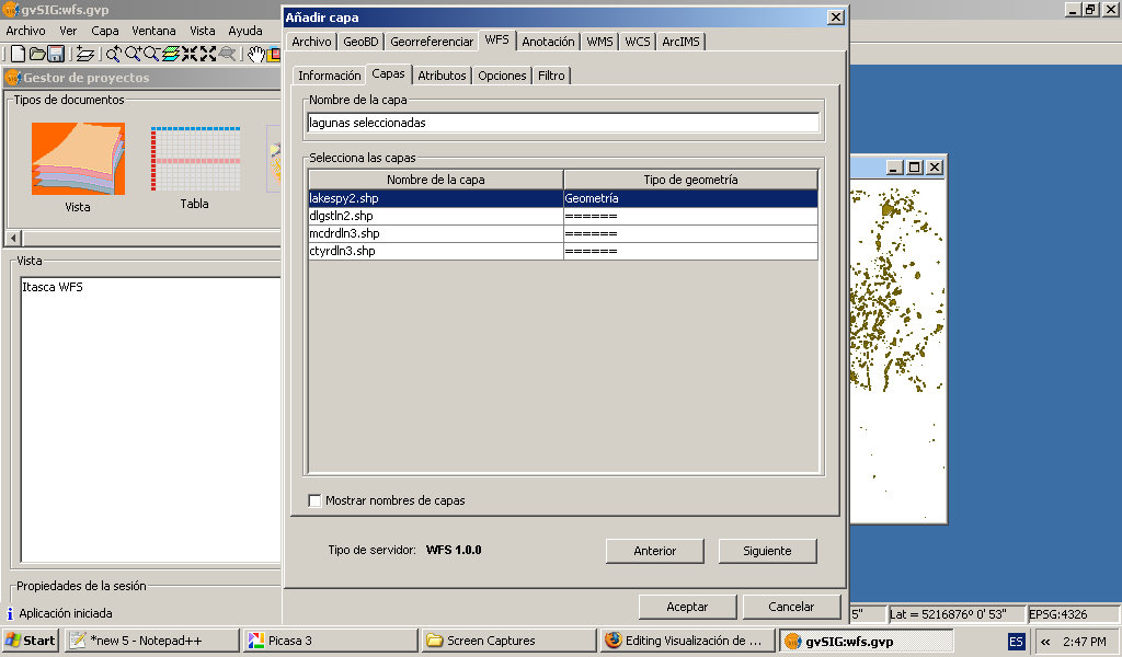
04:29, 2 April 2009
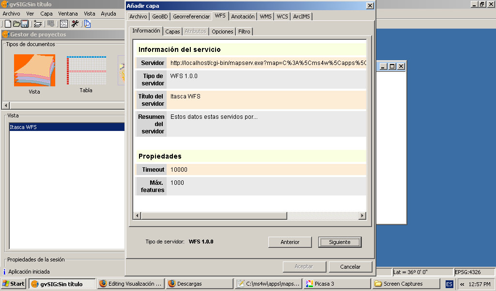
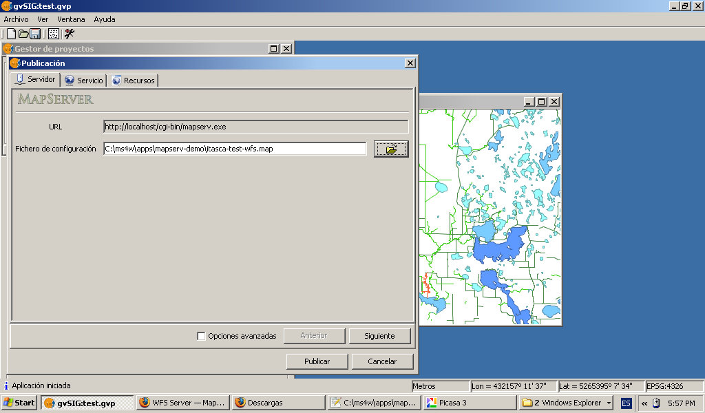
Gvsig-wfs-server-details.jpg
(
file
)
108 KB
Category:Education
Category:Cursos
1
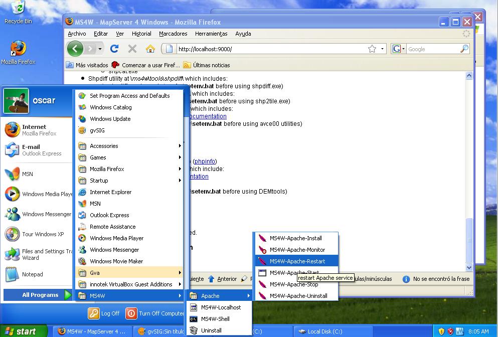
08:06, 7 September 2008
Ms4w restart server.jpg
(
file
)
109 KB
ms4w: restart the server
1
05:54, 2 April 2009
Gvisg-wfs-setting-layer-name.jpg
(
file
)
110 KB
Category:Education
Category:Cursos
1
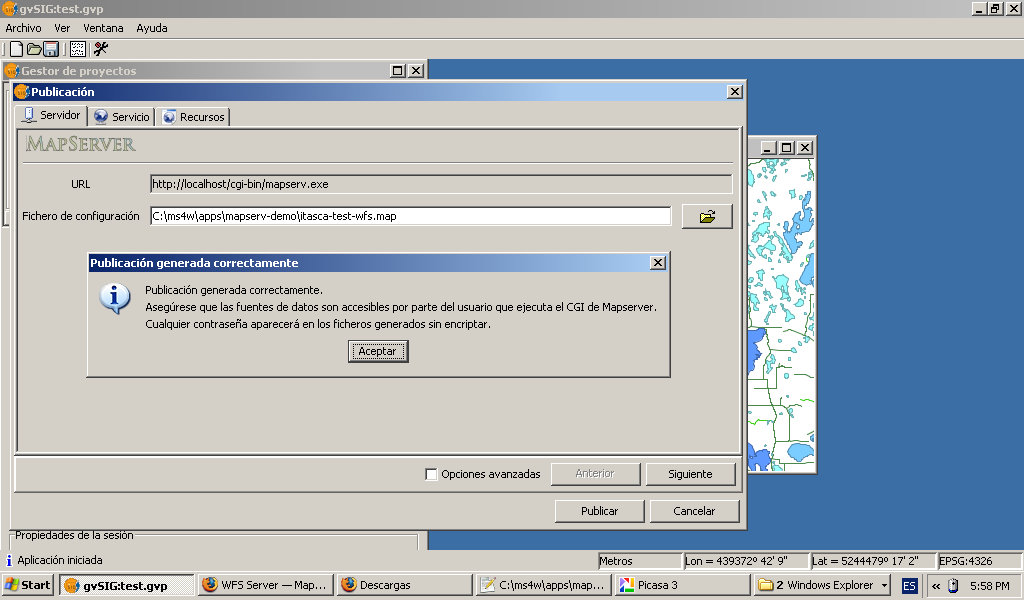
12:23, 1 April 2009
Gvsig-publish-wfs-end.jpg
(
file
)
110 KB
Category:Education
Category:Cursos
1
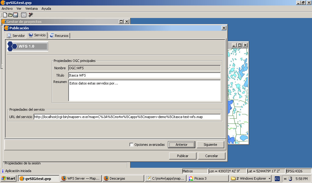
12:23, 1 April 2009
Gvsig-publish-wfs-metadata.jpg
(
file
)
110 KB
Category:Education
Category:Cursos
1
07:41, 14 April 2009
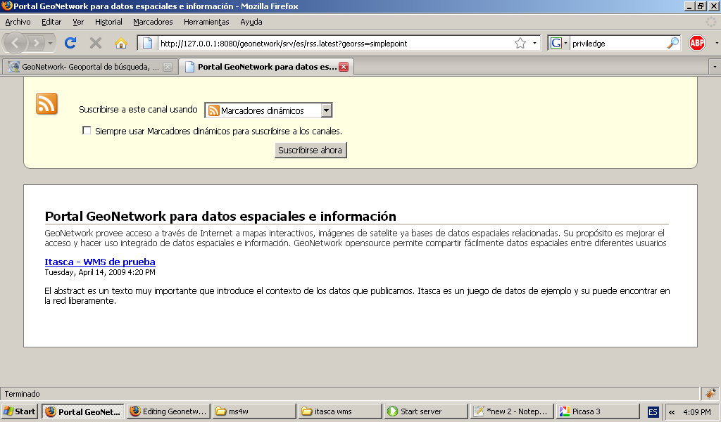
Geogeonetwork-public-georss.jpg
(
file
)
111 KB
Category:Education
Category:Cursos
1
08:03, 1 April 2009
Gvsig-publish-layers.jpg
(
file
)
116 KB
Category:Education
Category:Cursos
1
12:23, 1 April 2009
Gvsig-publish-wfs-mapfile.jpg
(
file
)
118 KB
Category:Education
Category:Cursos
1
04:27, 14 April 2009
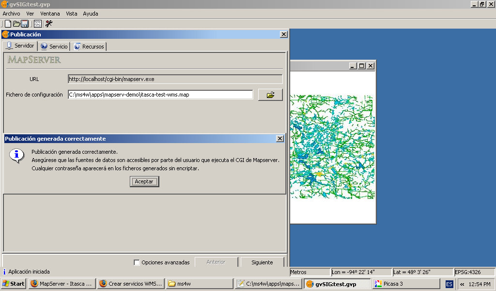
Gvsig-publish-end.jpg
(
file
)
120 KB
Category:Education
Category:Cursos
2
06:45, 14 April 2009
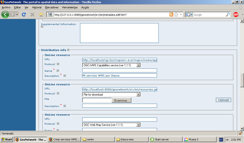
Geonetwork-add-metadata-online-resource.jpg
(
file
)
121 KB
Category:Education
Category:Cursos
1
06:45, 14 April 2009
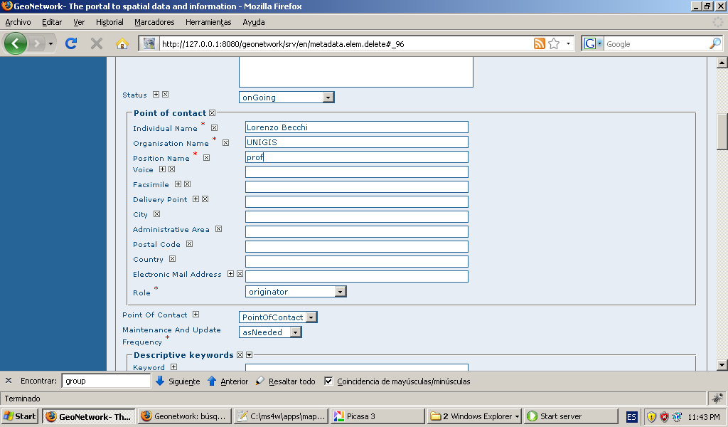
Geonetwork-add-metadata-point-of-contact.jpg
(
file
)
122 KB
Category:Education
Category:Cursos
1
06:45, 14 April 2009
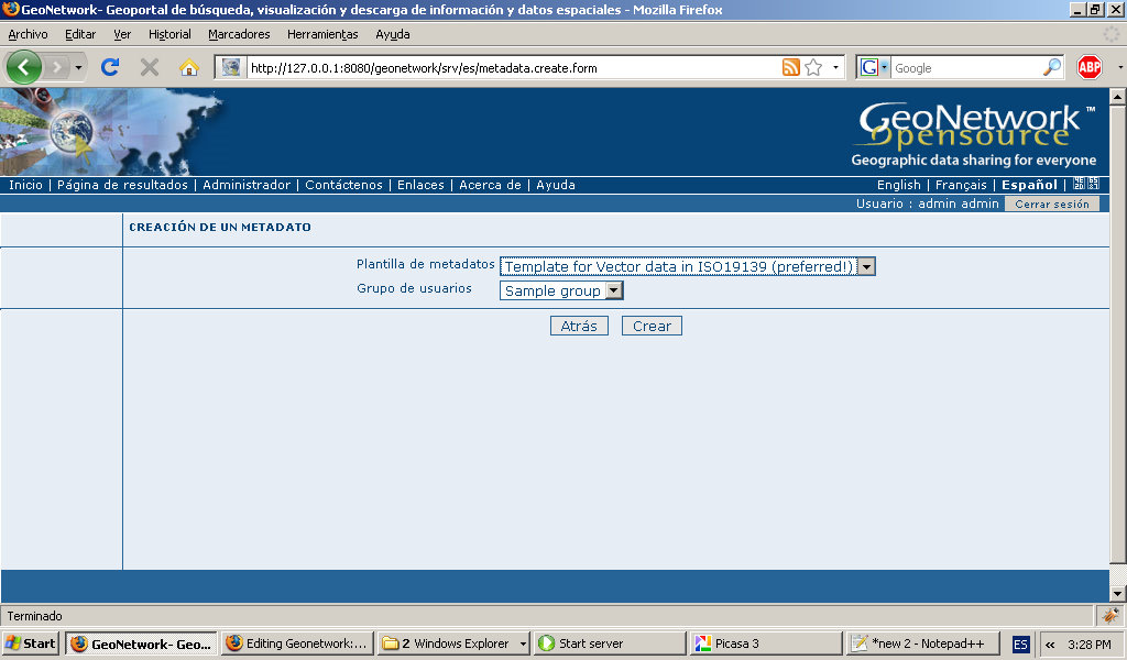
Geonetwork-add-metadata-template.jpg
(
file
)
123 KB
Category:Education
Category:Cursos
1
05:38, 10 April 2009
Geoneotwork-install-firewall-unlock.jpg
(
file
)
124 KB
Category:Education
Category:Cursos
1
07:09, 15 September 2008
Gvsig add layer 2.jpg
(
file
)
125 KB
gvsig: addding layer. the second layer
1
05:54, 2 April 2009
Gvisg-wfs-setting-filter.jpg
(
file
)
126 KB
Category:Education
Category:Cursos
1
04:29, 2 April 2009
Gvsig-wfs-show-layer.jpg
(
file
)
128 KB
Category:Education
Category:Cursos
1
05:39, 10 April 2009
Geonoetwork-install-getting-started.jpg
(
file
)
128 KB
Category:Education
Category:Cursos
1
06:45, 14 April 2009
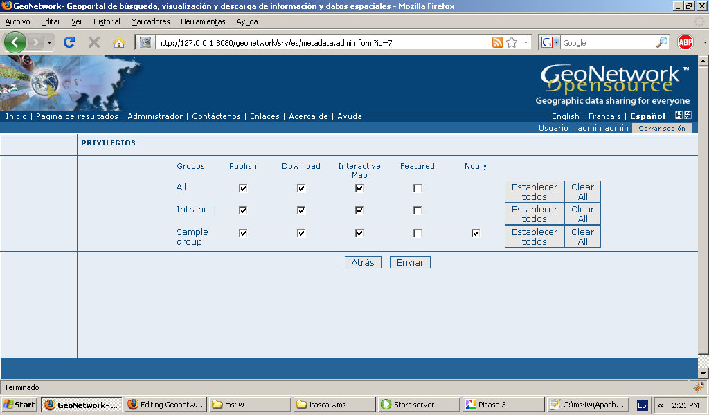
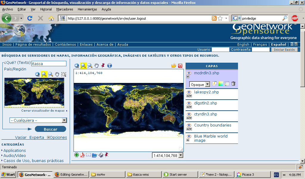
Geonetwork-privileges.jpg
(
file
)
129 KB
Category:Education
Category:Cursos
1
03:36, 25 September 2008
Gvsig mapserver module check license agree.jpg
(
file
)
132 KB
gvsig web publish modulo install: agree license
1
07:14, 15 September 2008
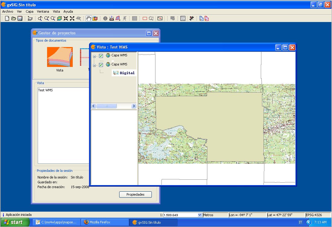
Gvsig add layer 2 overview.jpg
(
file
)
136 KB
gvsig: added second WMS layer
1
04:25, 14 April 2009
Gvsig-publish-metadata.jpg
(
file
)
140 KB
Category:Education
Category:Cursos
2
06:45, 14 April 2009
Geonetwork-add-metadata-identification.jpg
(
file
)
142 KB
Category:Education
Category:Cursos
1
05:54, 2 April 2009
Gvsig-wfs-layer-menu.jpg
(
file
)
143 KB
Category:Education
Category:Cursos
1
07:26, 10 September 2008
Gvsig wms layer.jpg
(
file
)
148 KB
gvsig: showing a wms layer
1
04:31, 14 April 2009
Openlayers-show-ows-from-gvsig-mapserver.jpg
(
file
)
149 KB
Category:Education
Category:Cursos
2
04:34, 14 April 2009
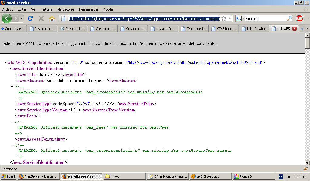
Mapserver-wfs-getCapabilities.jpg
(
file
)
150 KB
Category:Education
Category:Cursos
1
08:36, 10 September 2008
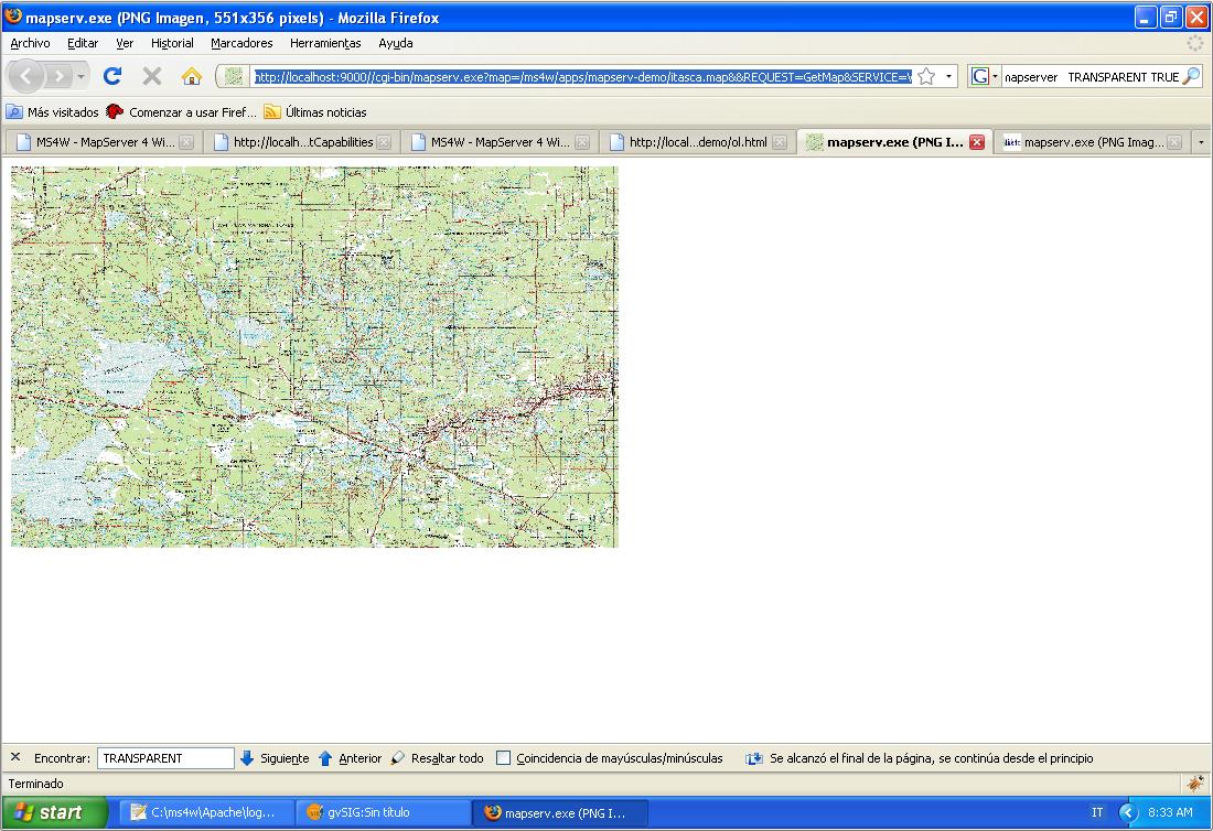
Ms4w wms getMap.jpg
(
file
)
155 KB
ms4w: getMap sample
1
08:34, 4 September 2008
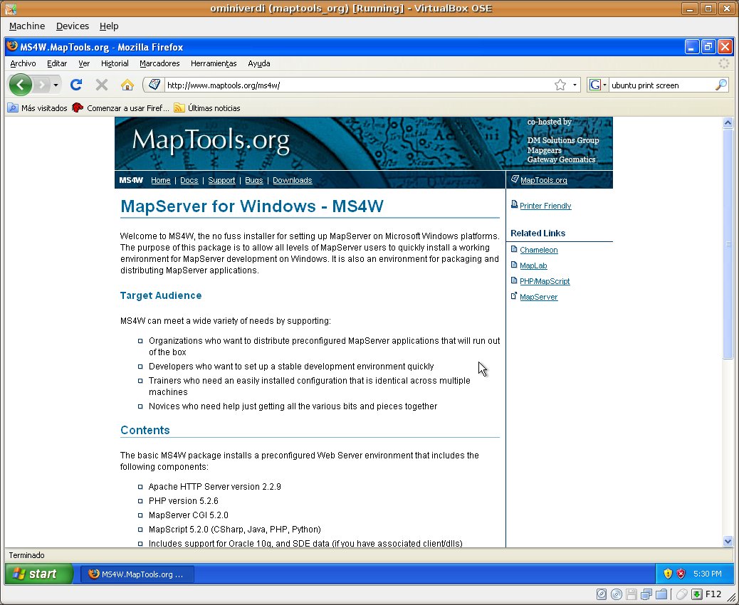
Home page ms4w.jpg
(
file
)
159 KB
a snapshot of MS4W's home page
1
05:39, 10 April 2009
Geonetwork-install-starting-server.jpg
(
file
)
160 KB
Category:Education
Category:Cursos
1
05:38, 10 April 2009
Geonetowrk-install-firstview.jpg
(
file
)
161 KB
Category:Education
Category:Cursos
1
06:51, 16 September 2008
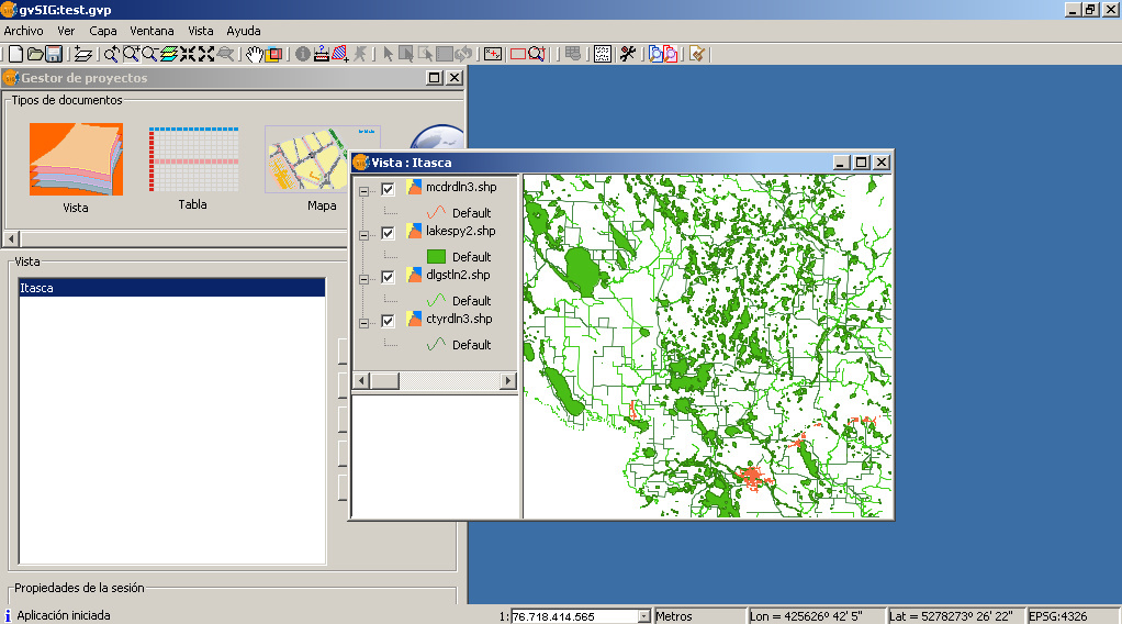
Openlayers itasca base map.jpg
(
file
)
163 KB
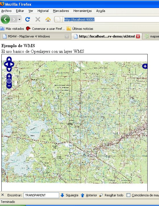
Openlayers with Itasca. a basic map
1
10:38, 5 March 2009
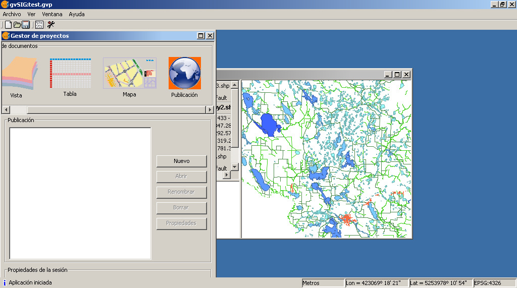
Gvsig view for web.png
(
file
)
177 KB
Category:Español
Category:Education
Category:Cursos
1
07:42, 14 April 2009
Geonetwork-public-page.jpg
(
file
)
178 KB
Category:Education
Category:Cursos
1
07:42, 14 April 2009
Geonetwork-public-search.jpg
(
file
)
179 KB
Category:Education
Category:Cursos
1
07:41, 14 April 2009
Geonetwork-public-add-to-interactiv-map.jpg
(
file
)
185 KB
Category:Education
Category:Cursos
1
10:33, 5 March 2009
Gvsig menu layer.png
(
file
)
186 KB
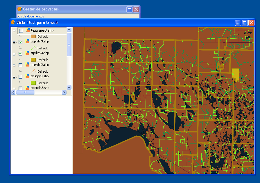
gvsig menu layer
Category:Español
Category:Education
Category:Cursos
1
07:42, 14 April 2009
Geonetwork-public-metadata-sample.jpg
(
file
)
187 KB
Category:Education
Category:Cursos
1
07:55, 1 April 2009
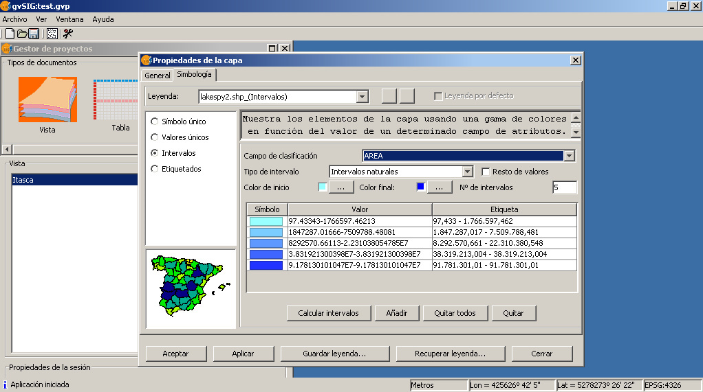
Gvsig-itasca-symbology-intervals.jpg
(
file
)
188 KB
gvsig itasca symbology intervals
1
07:41, 14 April 2009
Geonetwork-interactive-map-sample.jpg
(
file
)
197 KB
Category:Education
Category:Cursos
1
11:45, 23 January 2009
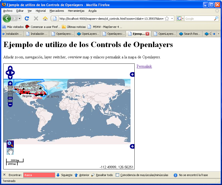
Openlayers controls overview.png
(
file
)
210 KB
Los principales Controls de Openlayers todos juntos en una única pantalla.
Category:Español
Category:Education
Category:Cursos
1
07:41, 14 April 2009
Geonetwork-interactive-map-sample-detail.jpg
(
file
)
223 KB
Category:Education
Category:Cursos
1
07:59, 1 April 2009
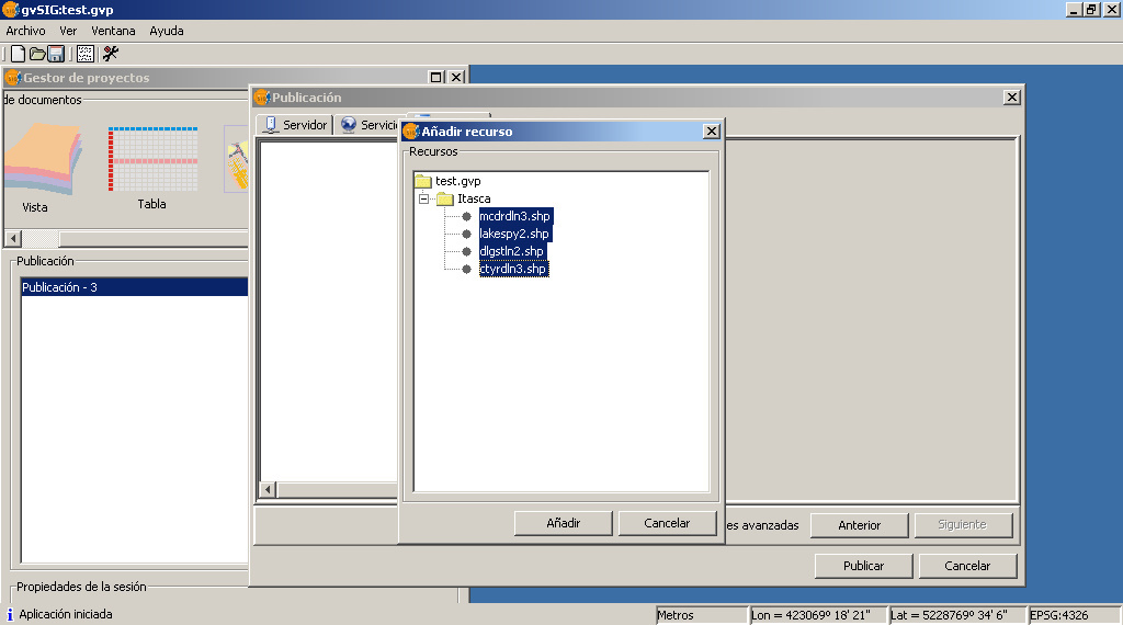
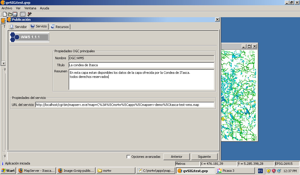
Gvsig-itasca-publish.jpg
(
file
)
241 KB
gvsig-itasca-publish.jpg
1
04:14, 3 March 2009
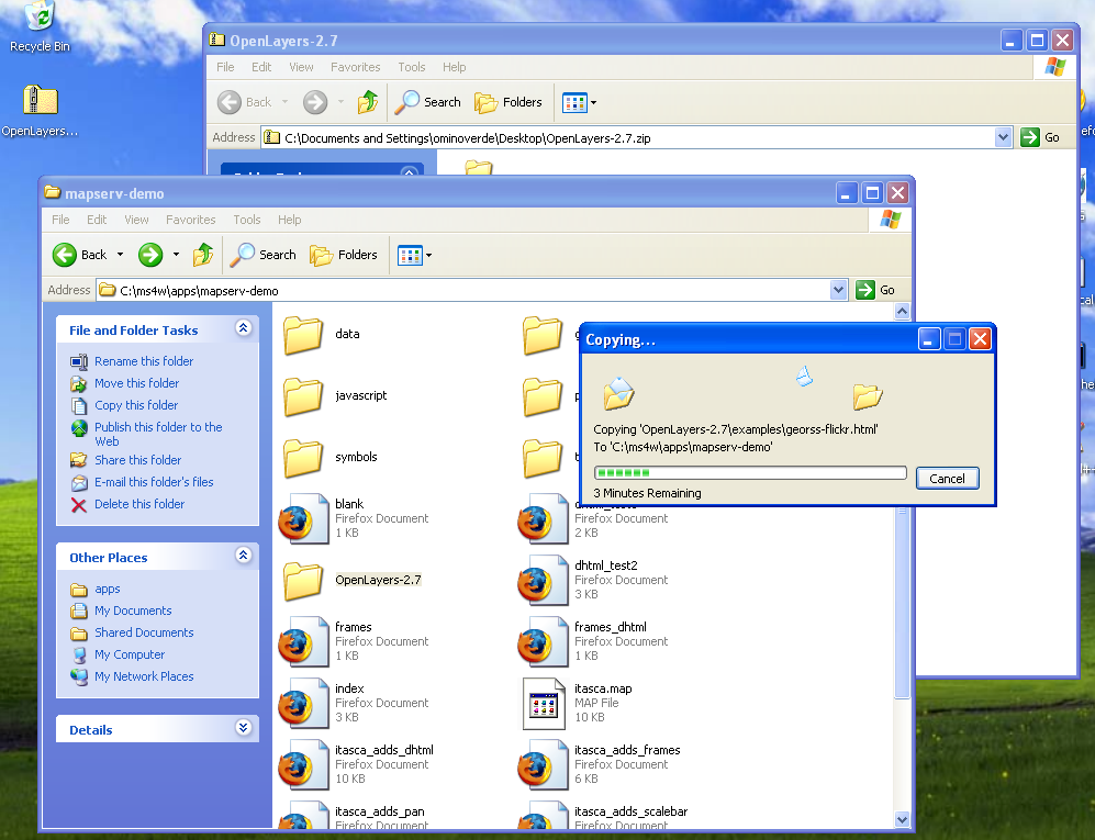
Openlayers copy on working dir.png
(
file
)
245 KB
copying on right target dir
2
07:53, 1 April 2009
Gvsig itasca no style.jpg
(
file
)
262 KB
gvsig_itasca_no_style
1
03:34, 5 March 2009
Openlayers Control PanZoomBar firebug.png
(
file
)
566 KB
Firebug showing OpenLayers library weigth with the only Control PanZoomBar
1
10:08, 3 March 2009
Openlayers firebug showing js weigth.png
(
file
)
566 KB
Openlayers_firebug_showing_js_weigth
Category:Español
Category:Education
Category:Cursos
1
04:42, 3 March 2009
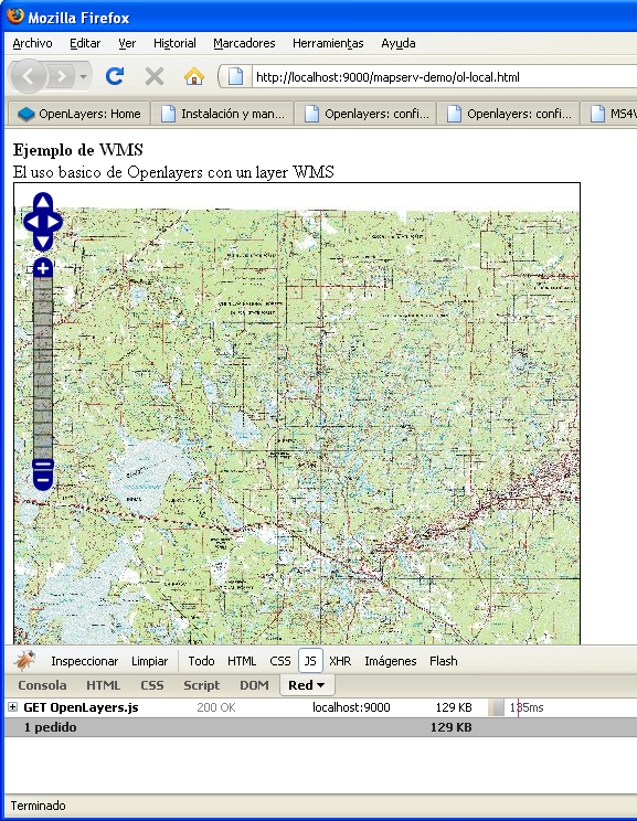
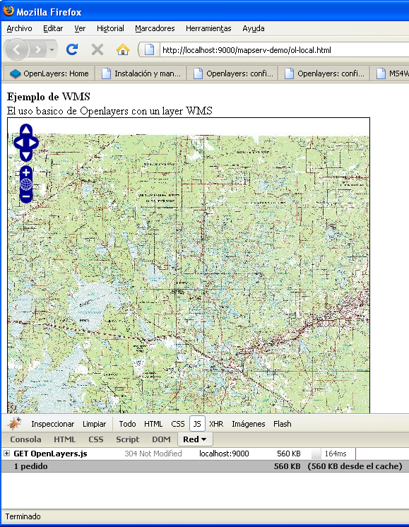
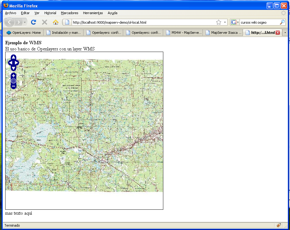
Openlayers map with local library.png
(
file
)
653 KB
Openlayers using the local library.
Category:Español
Category:Education
Category:Cursos
1
First page
Previous page
Next page
Last page
Navigation menu
Personal tools
Log in
Request account
Namespaces
Special page
Variants
Views
More
Search
Navigation
Main page
Current events
Recent changes
Random page
Help
Tools
User contributions
Logs
View user groups
Special pages
Printable version


