Difference between revisions of "User:Magicgate"
Jump to navigation
Jump to search
(Update) |
|||
| Line 2: | Line 2: | ||
|Name=Jakob Miksch | |Name=Jakob Miksch | ||
|JobTitle=Geographer, Programmer | |JobTitle=Geographer, Programmer | ||
| − | |Company= | + | |Company=Spatial Services |
|Country=Austria | |Country=Austria | ||
|City=Salzburg | |City=Salzburg | ||
| Line 11: | Line 11: | ||
|Photo=Jami_klein.jpg | |Photo=Jami_klein.jpg | ||
|Languages=German; English; | |Languages=German; English; | ||
| − | |Info=Building geospatial applications at | + | |Info=Building geospatial applications at Spatial Services GmbH. My favourite tools are PostGIS, Pandas, GDAL/OGR, QGIS and GeoServer. Moreover I am using a lot of OpenStreetMap data and try to contribute from time to time. Together with friends in Salzburg I co-organize the geospatial meetup called "Maptime Salzburg" |
}} | }} | ||
{{OSGeo Experience | {{OSGeo Experience | ||
Revision as of 11:42, 4 May 2020
| OSGeo Member | ||
|---|---|---|
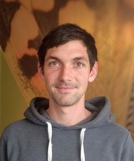
| Name: | Jakob Miksch |  |
| Job Title: | Geographer, Programmer | |
| Company: | Spatial Services | |
| Address: | ||
| City: | Salzburg | |
| State: | ||
| Country: | Austria | |
| Local Chapter: | FOSSGIS | |
| Email: | jakob miksch ÄT posteo DOT eu | |
| Phone: | ||
| Instant Messaging: | ||
| Website: | https://jakobmiksch.eu/ | |
| Language(s): | German; English | |
| Personal Description : | Building geospatial applications at Spatial Services GmbH. My favourite tools are PostGIS, Pandas, GDAL/OGR, QGIS and GeoServer. Moreover I am using a lot of OpenStreetMap data and try to contribute from time to time. Together with friends in Salzburg I co-organize the geospatial meetup called "Maptime Salzburg" | |
|
|
||
URIs of the form "jakob miksch ÄT posteo DOT eu" are not allowed.
OSGeo Experience and Roles: