Difference between revisions of "User:Jive"
Jump to navigation
Jump to search
| (18 intermediate revisions by 4 users not shown) | |||
| Line 1: | Line 1: | ||
| + | {{OSGeo Member | ||
| + | |Name=Jody Garnett | ||
| + | |Country=Canada | ||
| + | |City=Victoria | ||
| + | |Coordinate=48.4283327, -123.3649269 | ||
| + | |LocalChapter=British Columbia Chapter | ||
| + | |Email=jody.garnett@how2map.com | ||
| + | |Website=https://how2map.com/ | ||
| + | |Photo=Jg16.jpg | ||
| + | |Info=A mapish developer working at GeoCat. Active with OSGeo and LocationTech communities working on a wide range of free and open source geospatial goodness! | ||
| + | }} | ||
| + | {{OSGeo Experience | ||
| + | |User=Yes | ||
| + | |Committee=Yes | ||
| + | |Board=No | ||
| + | |Coder=Yes | ||
| + | |Translate=No | ||
| + | |PSC=Yes | ||
| + | |ExBoard=Yes | ||
| + | |Charter=Yes | ||
| + | |Chair=Yes | ||
| + | |SolKatz=No | ||
| + | |Committer=Yes | ||
| + | }} | ||
=== Jody Garnett === | === Jody Garnett === | ||
| − | [[File:Jg3.jpg| | + | [[File:Jg3.jpg|100px|thumb|right|Jody Garnett]] |
| − | + | Victoria, Canada | |
| − | + | A mapish developer working at GeoCat. Active with OSGeo and LocationTech communities working on a wide range of free and open source geospatial goodness! | |
| − | |||
| − | |||
| − | |||
| − | |||
| − | + | Serves on the Project Steering Committee of GeoServer and GeoTools projects. Outreach to new projects as a member of both the Open Source Geospatial Foundation and LocationTech. | |
| − | * [http:// | + | ;OSGeo Experience [[File:OSGeo_board.png]] [[File:OSGeo_charter.png|link=OSGeo_Advocate#OSGeo_Charter_Members]] [[File:OSGeo_chair.png|link=OSGeo_Advocate#Voted_position_in_an_OSGeo_community]] [[File:OSGeo_psc.png|link=OSGeo_Advocate#Voted_position_in_an_OSGeo_community]]: |
| + | * [https://fosstodon.org/@jodygarnett @jodygarnett@fosstodon.org] | ||
| + | * [https://how2map.com/ How 2 Map] (open source spatial blog on blogger) | ||
| + | * [http://twitter.com/#!/jodygarnett Twitter] | ||
| + | * [http://www.linkedin.com/in/jodygarnett LinkedIn] | ||
| + | |||
| + | Direct open source participation: | ||
| + | |||
| + | * [http://geoserver.org/ GeoServer] - the open internet gateway for geographic data: Project Steering Committee | ||
* [http://geotools.org/ GeoTools] - the Java GIS Toolkit : Project Management Committee | * [http://geotools.org/ GeoTools] - the Java GIS Toolkit : Project Management Committee | ||
| − | |||
| − | |||
| − | + | Activities outside the "Java Tribe": | |
* [http://www.osgeo.org/incubator/ Incubation Committee (OSGeo)] Chair | * [http://www.osgeo.org/incubator/ Incubation Committee (OSGeo)] Chair | ||
| − | * [http:// | + | * [http://www.meetup.com/Victoria-GeoGeeks/ Victoria GeoGeeks] (Victoria) |
| + | * [http://www.slideshare.net/jgarnett/ Slideshare] - presentations from events world wide | ||
| + | * [https://locationtech.org/ LocationTech] (Eclipse Foundation Industry Working Group) | ||
| + | * [http://2009.foss4g.org/ FOSS4G 2009] organizational committee | ||
| + | * [http://2007.foss4g.org/ FOSS4G 2007] organizational committee | ||
| + | * [[Board_of_Directors]] (OSGeo) - Prior Chair | ||
| + | * [http://georabble.org/ GeoRabble] - (Brisbane and Sydney) | ||
| + | * [http://www.meetup.com/osgeo-aust-nz/ OSGeo Aust-NZ Open Source Geospatial Chapter] | ||
| + | |||
| + | Jody is available for speaking engagements, workshops and hands on training. He is comfortable presenting on a range topics including open source, open development, OGC standards and the opportunities available to your organisation. | ||
| + | |||
| + | ;Contact: | ||
| + | : Email: jody.garnett@how2map.com | ||
| − | + | ;Profile last updated: | |
| − | + | : Nov 2023 | |
[[Category:OSGeo Member]] | [[Category:OSGeo Member]] | ||
| Line 30: | Line 68: | ||
[[Category:Incubation Committee]] | [[Category:Incubation Committee]] | ||
[[Category:OSGeo Charter Member]] | [[Category:OSGeo Charter Member]] | ||
| + | [[Category:Former_OSGeo_Director]] | ||
| + | [[Category:OSGeo Advocate]] | ||
Latest revision as of 12:57, 10 November 2023
| OSGeo Member | ||
|---|---|---|
| Name: | Jody Garnett |  |
| Job Title: | ||
| Company: | ||
| Address: | ||
| City: | Victoria | |
| State: | ||
| Country: | Canada | |
| Local Chapter: | British Columbia Chapter | |
| Email: | jody.garnett@how2map.com | |
| Phone: | ||
| Instant Messaging: | ||
| Website: | https://how2map.com/ | |
| Language(s): | ||
| Personal Description : | A mapish developer working at GeoCat. Active with OSGeo and LocationTech communities working on a wide range of free and open source geospatial goodness! | |
|
|
||
OSGeo Experience and Roles:
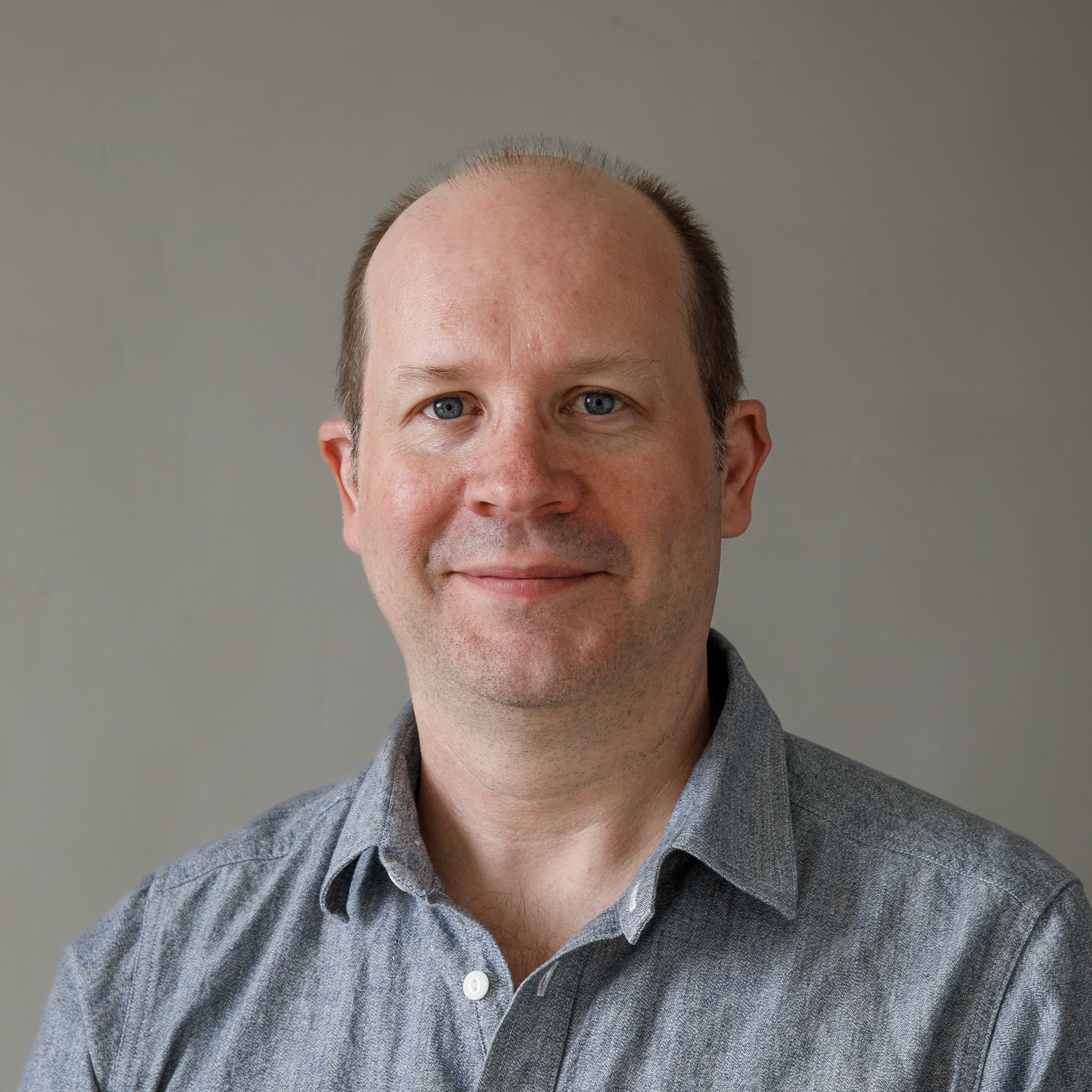
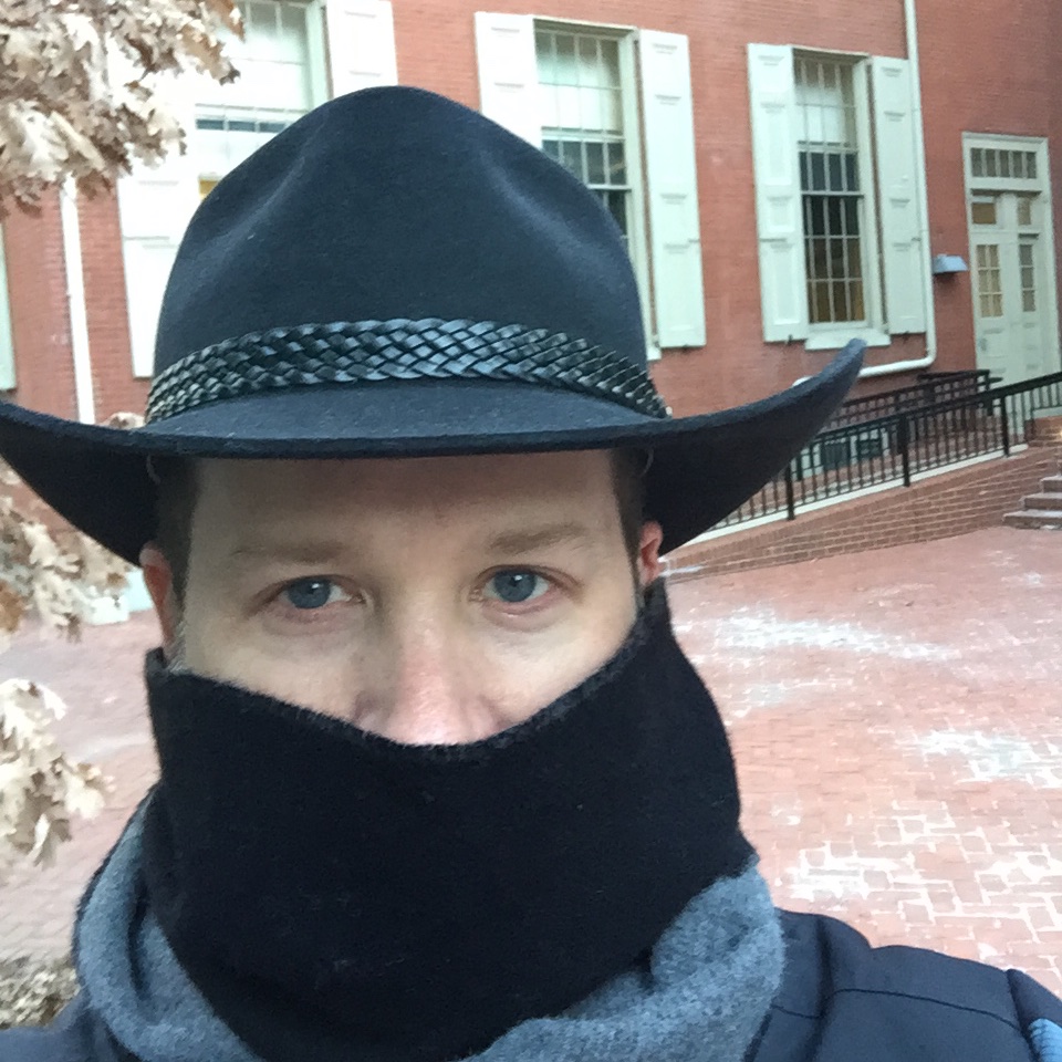
Jody Garnett
Victoria, Canada
A mapish developer working at GeoCat. Active with OSGeo and LocationTech communities working on a wide range of free and open source geospatial goodness!
Serves on the Project Steering Committee of GeoServer and GeoTools projects. Outreach to new projects as a member of both the Open Source Geospatial Foundation and LocationTech.
- @jodygarnett@fosstodon.org
- How 2 Map (open source spatial blog on blogger)
Direct open source participation:
- GeoServer - the open internet gateway for geographic data: Project Steering Committee
- GeoTools - the Java GIS Toolkit : Project Management Committee
Activities outside the "Java Tribe":
- Incubation Committee (OSGeo) Chair
- Victoria GeoGeeks (Victoria)
- Slideshare - presentations from events world wide
- LocationTech (Eclipse Foundation Industry Working Group)
- FOSS4G 2009 organizational committee
- FOSS4G 2007 organizational committee
- Board_of_Directors (OSGeo) - Prior Chair
- GeoRabble - (Brisbane and Sydney)
- OSGeo Aust-NZ Open Source Geospatial Chapter
Jody is available for speaking engagements, workshops and hands on training. He is comfortable presenting on a range topics including open source, open development, OGC standards and the opportunities available to your organisation.
- Contact
- Email: jody.garnett@how2map.com
- Profile last updated
- Nov 2023
