Difference between revisions of "LandcoverDB CS Detail"
Jump to navigation
Jump to search
(→Catalogue of landcover classes:: added surface textures) |
(→Catalogue of landcover classes:: textured medium vegetation) |
||
| Line 242: | Line 242: | ||
* GlobCover: Closed to open (>15%) grassland | * GlobCover: Closed to open (>15%) grassland | ||
* USGS: Grassland | * USGS: Grassland | ||
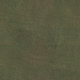
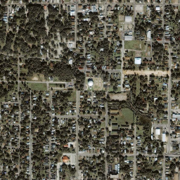
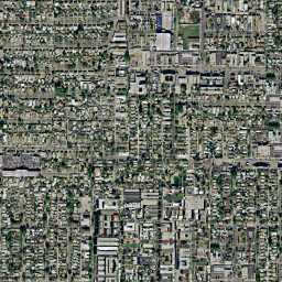
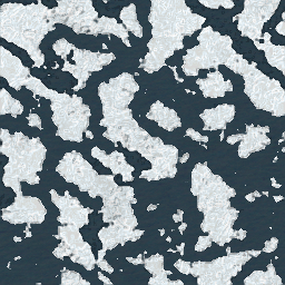
| − | | | + | |[[Image:FG_grass.png|50px|thumb|right]] |
|v0_grasscover | |v0_grasscover | ||
| | | | ||
| Line 265: | Line 265: | ||
* CORINE: Inland marshes | * CORINE: Inland marshes | ||
* CORINE German: Sümpfe | * CORINE German: Sümpfe | ||
| − | | | + | |[[Image:FG_marsh.png|50px|thumb|right]] |
|v0_marsh | |v0_marsh | ||
| | | | ||
| Line 281: | Line 281: | ||
* NOAA: Cropland and Pasture | * NOAA: Cropland and Pasture | ||
* CORINE German: Wiesen und Weiden | * CORINE German: Wiesen und Weiden | ||
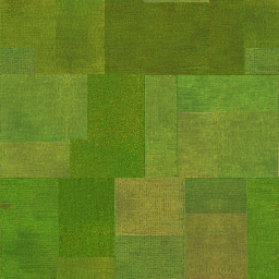
| − | | | + | |[[Image:FG_cropgrass.png|50px|thumb|right]] |
| | | | ||
| | | | ||
| Line 296: | Line 296: | ||
* USGS: Dryland Cropland and Pasture | * USGS: Dryland Cropland and Pasture | ||
* CORINE German: Nicht bewässertes Ackerland | * CORINE German: Nicht bewässertes Ackerland | ||
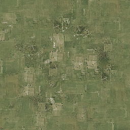
| − | | | + | |[[Image:FG_drycrop.png|50px|thumb|right]] |
|v0_drycroppasturecover | |v0_drycroppasturecover | ||
| | | | ||
| Line 310: | Line 310: | ||
* USGS: Irrigated Cropland and Pasture | * USGS: Irrigated Cropland and Pasture | ||
* CORINE German: Regelmäßig bewässertes Ackerland | * CORINE German: Regelmäßig bewässertes Ackerland | ||
| − | | | + | |[[Image:FG_irrcrop.png|50px|thumb|right]] |
|v0_irrcroppasturecover | |v0_irrcroppasturecover | ||
| | | | ||
| Line 324: | Line 324: | ||
* NOAA: Other Agricultural Land | * NOAA: Other Agricultural Land | ||
* CORINE German: Einjähr. Kulturen in Verbindung mit Dauerkulturen | * CORINE German: Einjähr. Kulturen in Verbindung mit Dauerkulturen | ||
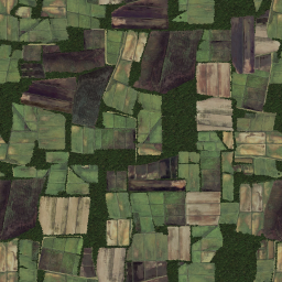
| − | | | + | |[[Image:FG_mixedcrop.png|50px|thumb|right]] |
|v0_mixedcroppasturecover | |v0_mixedcroppasturecover | ||
| | | | ||
| Line 337: | Line 337: | ||
* USGS: Herbaceous Tundra | * USGS: Herbaceous Tundra | ||
* NOAA: Herbaceous Tundra | * NOAA: Herbaceous Tundra | ||
| − | | | + | |[[Image:FG_herbtundra.png|50px|thumb|right]] |
|v0_herbtundracover | |v0_herbtundracover | ||
| | | | ||
| Line 353: | Line 353: | ||
* NOAA: Shrub and Brush Rangeland | * NOAA: Shrub and Brush Rangeland | ||
* CORINE German: Wald/Strauch | * CORINE German: Wald/Strauch | ||
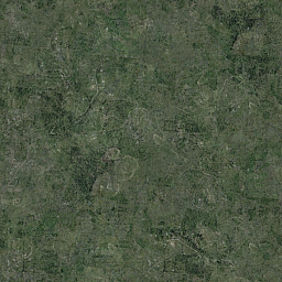
| − | | | + | |[[Image:FG_shrub.png|50px|thumb|right]] |
|v0_scrubcover | |v0_scrubcover | ||
| | | | ||
Revision as of 04:03, 30 January 2009
Catalogue of landcover classes:
| Name | Description | Texture | VMap0 equivalent | FAO LCCS | GlobCover | CORINE landclass | USGS value/code | NOAA code |
|---|---|---|---|---|---|---|---|---|
| ||||||||
| airport |
|
124 | ||||||
| rock |
|
332 | 74 | |||||
| dirt | 200 | |||||||
| industrial |
|
121 | 13 | |||||
| lake |
|
v0_lake | 210 | 512 | 16/500 | 52 | ||
| intermittentlake |
|
v0_intermittentlake | ||||||
| lava |
|
v0_lava | ||||||
| openmining |
|
131 | 75 | |||||
| town |
|
v0_town | 112 | |||||
| urban |
|
v0_urban | 190 | 111 | 1/100 | |||
| ||||||||
| floodland |
|
v0_floodland | 180 | 522 | 17/620 | 62 | ||
| glacier |
|
v0_glacier | 220 | 335 | 24/900 | 92 | ||
| packice |
|
v0_packice | ||||||
| polarice |
|
v0_polarice | ||||||
| sand |
|
v0_sand | 331 | 73 | ||||
| N/A |
|
72 | ||||||
| ||||||||
| barrencover |
|
v0_barrencover | 150 | 333 | 19/770 | 77 | ||
| bog |
|
v0_bog | 412 | |||||
| golfcourse |
|
142 | ||||||
| grassland |
|
v0_grasscover | 140 | 7/311 | ||||
| littoral |
|
v0_littoral | 423 | |||||
| marsh |
|
v0_marsh | 411 | |||||
| ||||||||
| cropgrass |
|
30 | 231 | 5/280 | 21 | |||
| drycrop |
|
v0_drycroppasturecover | 10 | 211 | 2/211 | |||
| irrcrop |
|
v0_irrcroppasturecover | 11 | 212 | 3/212 | |||
| mixedcrop |
|
v0_mixedcroppasturecover | 241 | 4/213 | 24 | |||
| herbtundra |
|
v0_herbtundracover | 20/820 | 82 | ||||
| scrub |
|
v0_scrubcover | 130 | 324 | 8/321 | 32 | ||
| ||||||||
| deciduousforest |
|
v0_deciduousbroadcover | 50 | 311 | 11/411 | 41 | ||
| N/A |
|
90 | 12/412 | |||||
| N/A |
|
40 | 13/421 | |||||
| evergreenforest |
|
v0_evergreenbroadcover | 70 | 312 | 14/422 | 42 | ||
| mixedforest |
|
v0_mixedforestcover | 100 | 313 | 15/430 | 42 | ||
| ||||||||
| canal | v0_canal | |||||||
| freeway | v0_freeway | |||||||
| railroad1 | v0_railroad1 | |||||||
| railroad2 | v0_railroad2 | |||||||
| road | v0_road | |||||||
| stream |
|
v0_stream | 511 | 51 | ||||
| intermittentstream |
|
v0_intermittentstream |
