Difference between revisions of "Ottawa Chapter"
(add initial logo draft) |
|||
| (238 intermediate revisions by 17 users not shown) | |||
| Line 1: | Line 1: | ||
| − | == | + | [[File:Logo_bucharest2019.png|right|370px|link=http://2019.foss4g.org]] |
| + | [[File:Osgeo-ottawa-logo.png|501px|link=]] | ||
| + | == News == | ||
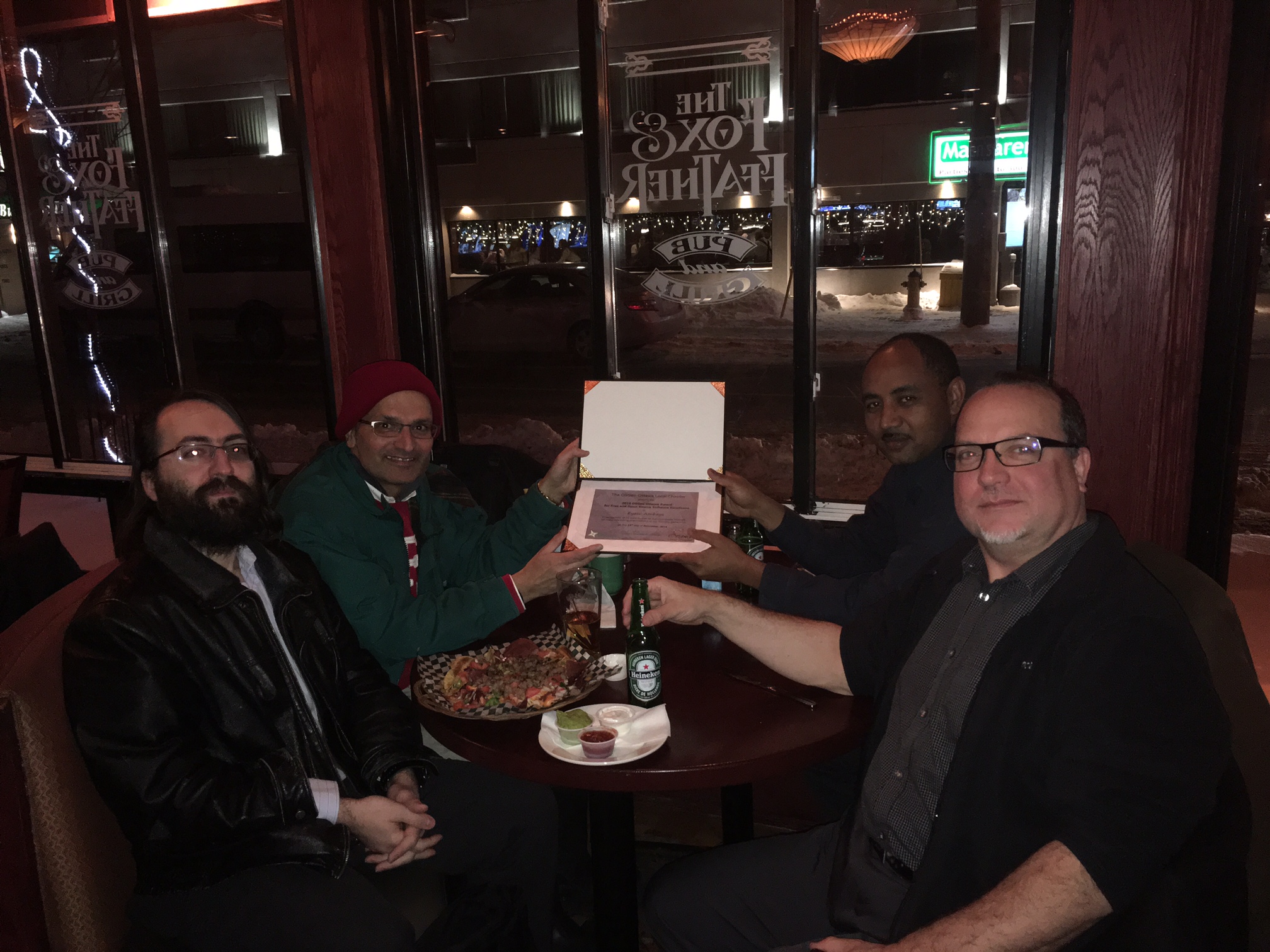
| + | [[Image:IMG_0791.JPG|thumb|right|Eyasu receiving 2016 FOSS Excellence award]] | ||
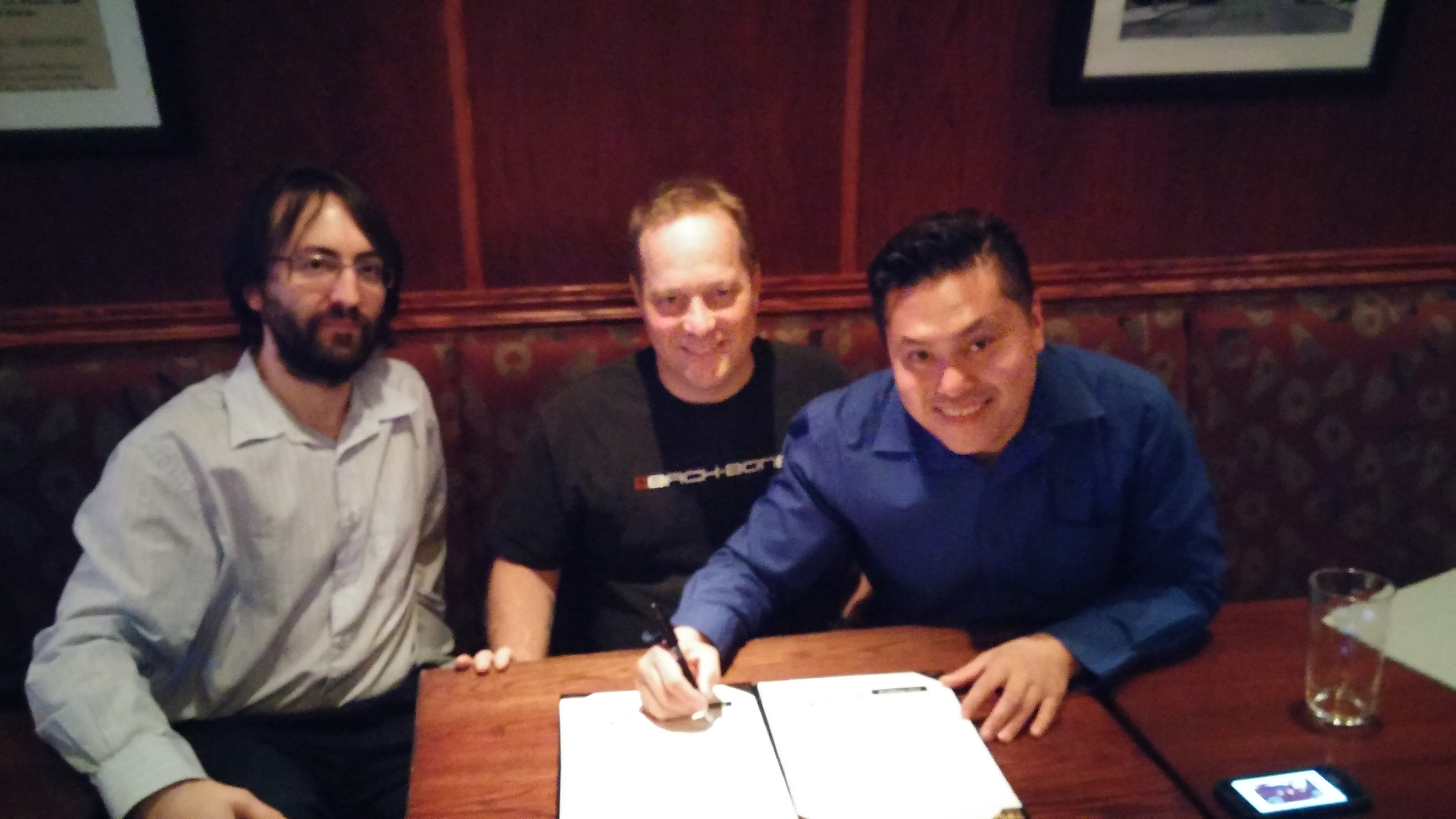
| + | [[Image:SigningMoU.jpg.jpg|thumb|right|ASG Mapping, Airborne XYZ and Ecere Corporation signing MoU]] | ||
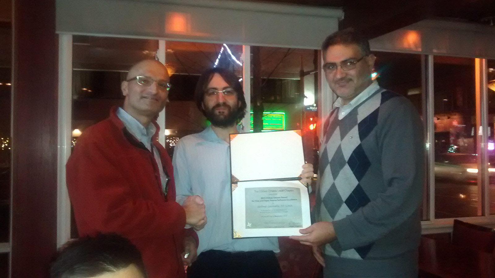
| + | [[Image:Award2015low.jpg|thumb|right|Jerome receiving 2015 award from Saeid and Javed.]] | ||
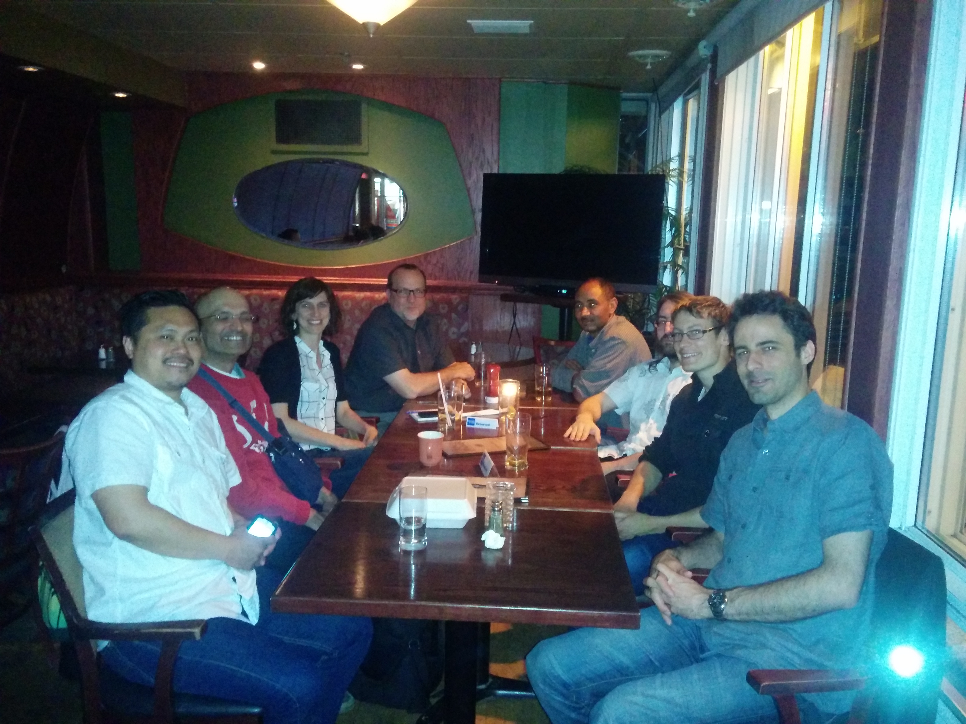
| + | [[Image:OSGeo 2015 May 21.jpg|thumb|right|The May 2015 meeting turn out.]] | ||
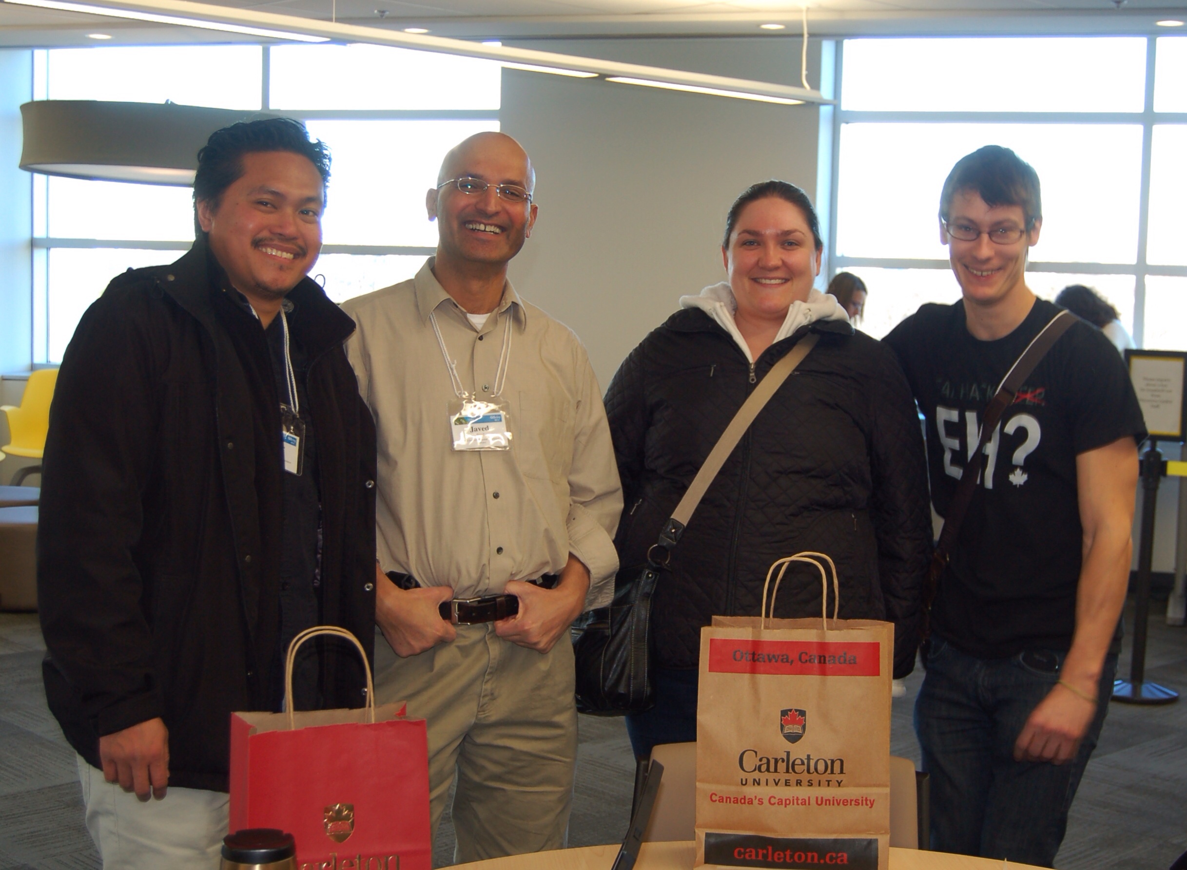
| + | [[Image:GISDayOSGeoCrew.jpg|thumb|right|Ottawa OSGEO members at GIS Day 2013]] | ||
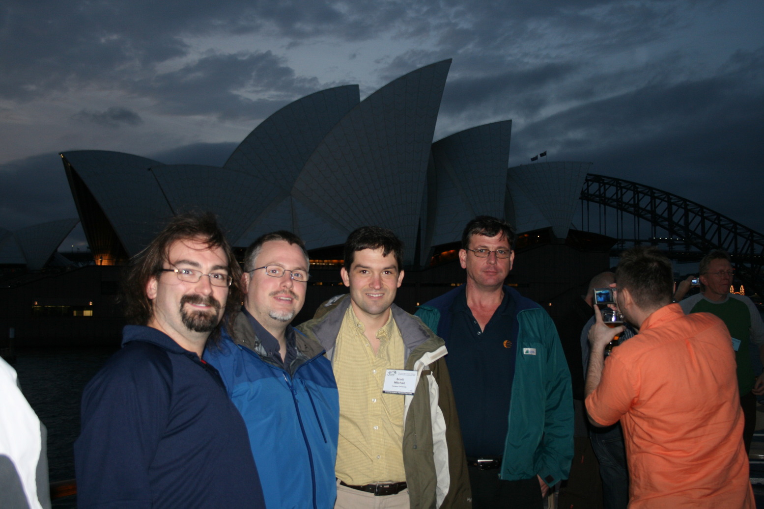
| + | [[Image:smaller_IMG_7076.JPG|thumb|right|Ottawa OSGEO members in Sydney for FOSS4G]] | ||
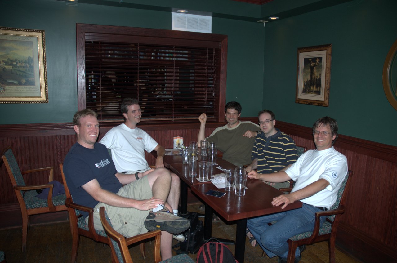
| + | [[Image:OSGeo_July_Meeting.jpg|thumb|right|The July 2007 meeting turn out (more or less).]] | ||
| + | '''2016''' | ||
| + | * Eyasu Ambaye was nominated by Paul and elected by the general membership on December 15th, 2016 to receive the OSGeo Award for FOSS Excellence, for his contribution to our community through his various interesting presentations at our monthly gathering. | ||
| + | '''2015''' | ||
| + | * [[User:jerstlouis|Jerome St-Louis]] was nominated by Paul and elected by the general membership on 17 December 2015 to receive the OSGeo Ottawa Award for FOSS Excellence, for his contribution to the FOSS4G 2017 Ottawa Bid. | ||
| + | * Three of our members' companies, Ecere Corporation, ASG Mapping and Airborne XYZ, signed a Memorandum of Understanding to provide complimentary products and services related to UAVs. | ||
| + | '''2014''' | ||
| + | * The Ottawa OSGeo Chapter will be part of the EnvisionGeomatics 2014. Check out their website : http://2014.visiongeomatique.com/en/ | ||
| + | '''2013''' | ||
| + | * The Ottawa OSGeo Chapter is working hard to celebrate the GIS-Day in November, Tuesday November 20, 2013 a success. Stay posted, and join the group if you want to get involved! | ||
| + | * The Ottawa OSGeo Chapter is working hard to celebrate the Software Freedom Day, on Sunday September 15 a success. You can register for the event at https://www.eventbrite.ca/event/8006907877/?ref=estw. Note that the deadline for registration is 11 September 2013 12:00 PM! | ||
| + | * Christy stepped down as co-chair June. Javed volunteers to co-chair with Fabien. | ||
| + | * Javed was Awarded the OSGeo Ottawa Award of FOSS Excellence on 12 December 2013 at the OSGeo Christmas Dinner and Awards night. | ||
| + | <br> | ||
| − | + | == Upcoming events == | |
| + | We meet each month on the '''3rd Thursday of the month''', '''7:00 PM''' at '''[http://www.foxandfeather.ca/ The Fox & Feather]''' pub on Elgin Street @ McLaren. | ||
| − | The Ottawa | + | Here are the dates for the next few meetings in 2017: |
| + | *'''Thursday, January 19, at 19:00''' | ||
| + | *Thursday, February 16, at 19:00 | ||
| + | *Thursday, March 16, at 19:00 | ||
| + | *Thursday, April 16, at 19:00 | ||
| + | *Thursday, May 20, at 19:00 | ||
| + | *Thursday, June 15, at 19:00 | ||
| + | |||
| + | Please refer to our [https://www.meetup.com/OttawaOSGeo/ Meetup group] and RSVP for the latest update, and/or subscribe to our mailing list to be informed of any meeting cancellation. | ||
| + | We are usually downstairs to the right of the entrance. | ||
| + | |||
| + | [http://www.foxandfeather.ca/ The Fox & Feather] | ||
| + | 283 Elgin Street | ||
| + | Ottawa, ON | ||
| + | K2P 1M1 | ||
| + | (613) 233-2219 | ||
| + | |||
| + | Look forward to seeing you there! | ||
| + | |||
| + | == Mailing List == | ||
| + | |||
| + | You can [http://lists.osgeo.org/mailman/listinfo/Ottawa_users subscribe] and review the | ||
| + | [http://lists.osgeo.org/pipermail/ottawa_users archive] of Ottawa_users@lists.osgeo.org. | ||
| + | |||
| + | You can also view the local list posts directly from [http://osgeo-org.1560.n6.nabble.com/OSGeo-Ottawa-Local-Chapter-f3730718.html Nabble]. | ||
| + | |||
| + | == About OSGeo Ottawa == | ||
| + | |||
| + | In 2005 the OGUG (Ottawa Grass Users Group) and OMSUG (Ottawa Map Server Users Group) had a preliminary joint meeting and decided to pursue merging and broadening our collective focus to include all OSGeo projects, catering to any interested users or developers in the Ottawa (National Capital Region) area. Subsequently, we were officially designated as an OSGeo chapter in September of 2006 by the OSGeo Board. | ||
The Ottawa MapServer Users Group (OMSUG) began meeting during the winter of 2003. With a strong local user base in Ottawa, representing many diverse users and developers, these meetings provide a unique opportunity for members to meet and discuss how MapServer is being leveraged in Ottawa and ways we can work together to grow its use in the region. | The Ottawa MapServer Users Group (OMSUG) began meeting during the winter of 2003. With a strong local user base in Ottawa, representing many diverse users and developers, these meetings provide a unique opportunity for members to meet and discuss how MapServer is being leveraged in Ottawa and ways we can work together to grow its use in the region. | ||
| Line 10: | Line 61: | ||
OGUG formed in June of 2005 as a network of GIS practitioners interested in incorporating or replacing their proprietary GIS workflow with Open Source GIS Solutions. OGUG aimed to be a central body of knowledge and expertise for the GRASS GIS Community in the Ottawa area. | OGUG formed in June of 2005 as a network of GIS practitioners interested in incorporating or replacing their proprietary GIS workflow with Open Source GIS Solutions. OGUG aimed to be a central body of knowledge and expertise for the GRASS GIS Community in the Ottawa area. | ||
| − | + | The Ottawa Chapter of OSGeo was formed by the combination of those original two groups, but also includes active local users and developers of at LEAST the following OSGeo projects: GDAL/OGR, GRASS, Mapbuilder, MapGuide, and Mapserver. | |
| − | - | + | |
| + | A Powerpoint presentation reporting on our chapter's formation and first year of activity is available for download in its original [http://cemml.carleton.ca/osgeo_files/local-chap.ppt full version], or the [http://cemml.carleton.ca/osgeo_files/OttLocal-chap_condensed.ppt condensed form] created to squeeze into a tighter time constraint. | ||
=== Mission === | === Mission === | ||
| − | |||
| − | |||
| − | + | The OSGeo Ottawa Chapter exists to provide support for local users of Open Source Geospatial software, and to promote the goals and projects of the Open Source Geospatial Foundation. The Chapter is focused on the National Capital Region around Ottawa with face to face meetings providing networking, support and educational opportunities to the local members. | |
| − | |||
| − | |||
| − | |||
| − | |||
| − | |||
| − | |||
| − | |||
| − | |||
| − | |||
=== Objectives === | === Objectives === | ||
* Monthly face to face meetings | * Monthly face to face meetings | ||
| + | ** Networking | ||
** Presentations | ** Presentations | ||
** Workshops and Tutorials | ** Workshops and Tutorials | ||
| − | ** | + | ** User to user support |
| − | * | + | ** Job Opportunities |
| + | ** HowTos | ||
| + | * Collaborative Projects | ||
** Documentation | ** Documentation | ||
** Local Data Sets | ** Local Data Sets | ||
| + | ** Supporting OSGEO projects at large | ||
* Regional Events | * Regional Events | ||
** Conference | ** Conference | ||
| − | + | ** Demonstrations | |
| + | * Communication | ||
| + | ** Active mailing List | ||
| + | ** Content Rich Wiki | ||
| + | ** Outreach to local Geo community | ||
| + | ** Documented Activities | ||
| − | == | + | === Chairs === |
| − | * [[User:Dsampson|Dave Sampson]] | + | * 2018 Ottawa chapter co-chairs: Paul Churcher & [[User:jerstlouis|Jérôme Jacovella-St-Louis]] |
| − | * [[User: | + | * 2015 Ottawa chapter co-chairs: Javed Syed & [[User:jerstlouis|Jérôme Jacovella-St-Louis]] |
| − | * | + | * 2013 - 2014 Ottawa chapter co-chairs: Javed Syed & Fabien Ancelin |
| + | * 2012 - 2013 Ottawa chapter co-chairs: Christy Nieman & Fabien Ancelin | ||
| + | * 2011 - 2012 Ottawa chapter co-chairs: Richard Burcher & Christy Nieman | ||
| + | * 2010 - 2011 Ottawa chapter co-chairs: Teresa Baldwin and Philippe Vachon | ||
| + | * 2008 - 2010 Ottawa chapter co-chairs: [[User:smitch|Scott Mitchell]] and Philippe Vachon | ||
| + | * 2006 - 2008 Ottawa chapter co-chairs: [[User:Dsampson|Dave Sampson]] and [[User:jmckenna|Jeff McKenna]] | ||
| + | * 2005 - 2006 OGUG Chair: [[User:Dsampson|Dave Sampson]] | ||
| + | * 2003 - 2006 OMSUG Chair: [[User:jmckenna|Jeff McKenna]] | ||
| + | == Chapter Sections == | ||
| + | [[Ottawa_Chapter | Ottawa Chapter Home]]: | ||
| + | The WIKI Home Page for the Ottawa OSGEO Chapter. | ||
| − | + | <!-- old flat file approach. Please use TREE approach | |
| − | |||
| − | |||
| − | |||
[[OTT_OSGEO | Chapter Admin]]: | [[OTT_OSGEO | Chapter Admin]]: | ||
| + | Information of interest to the chapter at large concerning meetings, events, charter,etc. | ||
| + | --> | ||
| + | [[Ottawa_Chapter/Admin | Chapter Admin]]: | ||
Information of interest to the chapter at large concerning meetings, events, charter,etc. | Information of interest to the chapter at large concerning meetings, events, charter,etc. | ||
| − | [[ | + | [[Ottawa_Chapter/MAPSERVER | MapServer]]: |
Information of interest to local MAPSERVER users (including old OMSUG content) | Information of interest to local MAPSERVER users (including old OMSUG content) | ||
| − | [[ | + | [[Ottawa_Chapter/GRASS | GRASS]]: |
Information of interest to local GRASS users (including old OGUG content) | Information of interest to local GRASS users (including old OGUG content) | ||
| − | [[ | + | [[Ottawa_Chapter/MAPBUILDER | MapBuilder]]: |
Information of interest to local MAPBUILDER users | Information of interest to local MAPBUILDER users | ||
| + | <!-- | ||
| + | Note: This was the original link. Link changed to reflect new (more logical prefix). keep for historical. At some point this page can be removed from the wiki | ||
[[OTT_Directory | Local Chapter Directory]]: | [[OTT_Directory | Local Chapter Directory]]: | ||
| − | Listing of | + | Listing of companies, people, universities and government departments involved with or using OSGeo projects |
| + | --> | ||
| + | [[Ottawa_Chapter/Directory | Local Chapter Directory]]: | ||
| + | Listing of companies, people, universities and government departments involved with or using OSGeo projects | ||
| − | [[ | + | [[Ottawa_Chapter/Media | Ottawa OSGEO Media Coverage]]: |
| − | Links or snippets of media featuring activities of Ottawa | + | Links or snippets of media featuring activities of Ottawa OSGeo from various Sources |
| − | = | + | == Chapter Resources == |
| + | [[Ottawa_Chapter/data | Data]]: | ||
| + | Free and open data created by local chapter members | ||
| − | + | [[Ottawa_Chapter/tutorials | Tutorials]]: | |
| − | + | Tutorials supporting related FOSS4G projects | |
| − | |||
| − | |||
| − | + | [[Ottawa_Chapter/links | Related Links]]: | |
| + | A Clearing House of related links | ||
| + | [[Ottawa_Chapter/associations| Various associations related to Geospatial ]]: | ||
| − | == | + | == Contributing to this wiki == |
=== How To Write WIKI === | === How To Write WIKI === | ||
Check out WikiPedia, where else. This is a great resource for many wiki writing tips | Check out WikiPedia, where else. This is a great resource for many wiki writing tips | ||
| Line 84: | Line 151: | ||
=== Page Naming Conventions === | === Page Naming Conventions === | ||
| − | Since the whole wiki uses a flat file structure instead of a directory structure there is a need to organize the pages | + | Since the whole wiki uses a flat file structure instead of a directory structure there is a need to organize the pages relevant to our chapter's activities. To get this wiki area started I chose a simple page structure format |
| + | |||
| + | PREFIX: | ||
| + | To keep the site clean and to make it easier to locate all WIKI pages connected with the Ottawa Chapter please note the appropriate prefix. Use this prefix when creating new pages. | ||
| + | |||
| + | Prefix= Ottawa_Chapter | ||
The logic: | The logic: | ||
| − | * | + | * Ottawa_Chapter_(Project Area)_(Topic)_(Sub Topic) |
Examples:<br> | Examples:<br> | ||
| − | * | + | * Ottawa_Chapter_OSGEO_meetings_072106 |
| − | * | + | * Ottawa_Chapter_GRASS_Datasets |
| + | |||
| + | Additionally you might want to consider adding <nowiki>[[Category:Ottawa Chapter]]</nowiki> to all pages tagging them for the [http://wiki.osgeo.org/index.php/Special:Categories Wiki Categories]. Then add that category to the <nowiki>[[Category:Local Chapters]]</nowiki> and have a category of categories. Or just go have some more beer. | ||
| + | |||
| + | [[Category:Local Chapters]] | ||
| + | [[Category:Canada]] | ||
Latest revision as of 14:35, 15 November 2018

News
2016
- Eyasu Ambaye was nominated by Paul and elected by the general membership on December 15th, 2016 to receive the OSGeo Award for FOSS Excellence, for his contribution to our community through his various interesting presentations at our monthly gathering.
2015
- Jerome St-Louis was nominated by Paul and elected by the general membership on 17 December 2015 to receive the OSGeo Ottawa Award for FOSS Excellence, for his contribution to the FOSS4G 2017 Ottawa Bid.
- Three of our members' companies, Ecere Corporation, ASG Mapping and Airborne XYZ, signed a Memorandum of Understanding to provide complimentary products and services related to UAVs.
2014
- The Ottawa OSGeo Chapter will be part of the EnvisionGeomatics 2014. Check out their website : http://2014.visiongeomatique.com/en/
2013
- The Ottawa OSGeo Chapter is working hard to celebrate the GIS-Day in November, Tuesday November 20, 2013 a success. Stay posted, and join the group if you want to get involved!
- The Ottawa OSGeo Chapter is working hard to celebrate the Software Freedom Day, on Sunday September 15 a success. You can register for the event at https://www.eventbrite.ca/event/8006907877/?ref=estw. Note that the deadline for registration is 11 September 2013 12:00 PM!
- Christy stepped down as co-chair June. Javed volunteers to co-chair with Fabien.
- Javed was Awarded the OSGeo Ottawa Award of FOSS Excellence on 12 December 2013 at the OSGeo Christmas Dinner and Awards night.
Upcoming events
We meet each month on the 3rd Thursday of the month, 7:00 PM at The Fox & Feather pub on Elgin Street @ McLaren.
Here are the dates for the next few meetings in 2017:
- Thursday, January 19, at 19:00
- Thursday, February 16, at 19:00
- Thursday, March 16, at 19:00
- Thursday, April 16, at 19:00
- Thursday, May 20, at 19:00
- Thursday, June 15, at 19:00
Please refer to our Meetup group and RSVP for the latest update, and/or subscribe to our mailing list to be informed of any meeting cancellation. We are usually downstairs to the right of the entrance.
The Fox & Feather 283 Elgin Street Ottawa, ON K2P 1M1 (613) 233-2219
Look forward to seeing you there!
Mailing List
You can subscribe and review the archive of Ottawa_users@lists.osgeo.org.
You can also view the local list posts directly from Nabble.
About OSGeo Ottawa
In 2005 the OGUG (Ottawa Grass Users Group) and OMSUG (Ottawa Map Server Users Group) had a preliminary joint meeting and decided to pursue merging and broadening our collective focus to include all OSGeo projects, catering to any interested users or developers in the Ottawa (National Capital Region) area. Subsequently, we were officially designated as an OSGeo chapter in September of 2006 by the OSGeo Board.
The Ottawa MapServer Users Group (OMSUG) began meeting during the winter of 2003. With a strong local user base in Ottawa, representing many diverse users and developers, these meetings provide a unique opportunity for members to meet and discuss how MapServer is being leveraged in Ottawa and ways we can work together to grow its use in the region.
OGUG formed in June of 2005 as a network of GIS practitioners interested in incorporating or replacing their proprietary GIS workflow with Open Source GIS Solutions. OGUG aimed to be a central body of knowledge and expertise for the GRASS GIS Community in the Ottawa area.
The Ottawa Chapter of OSGeo was formed by the combination of those original two groups, but also includes active local users and developers of at LEAST the following OSGeo projects: GDAL/OGR, GRASS, Mapbuilder, MapGuide, and Mapserver.
A Powerpoint presentation reporting on our chapter's formation and first year of activity is available for download in its original full version, or the condensed form created to squeeze into a tighter time constraint.
Mission
The OSGeo Ottawa Chapter exists to provide support for local users of Open Source Geospatial software, and to promote the goals and projects of the Open Source Geospatial Foundation. The Chapter is focused on the National Capital Region around Ottawa with face to face meetings providing networking, support and educational opportunities to the local members.
Objectives
- Monthly face to face meetings
- Networking
- Presentations
- Workshops and Tutorials
- User to user support
- Job Opportunities
- HowTos
- Collaborative Projects
- Documentation
- Local Data Sets
- Supporting OSGEO projects at large
- Regional Events
- Conference
- Demonstrations
- Communication
- Active mailing List
- Content Rich Wiki
- Outreach to local Geo community
- Documented Activities
Chairs
- 2018 Ottawa chapter co-chairs: Paul Churcher & Jérôme Jacovella-St-Louis
- 2015 Ottawa chapter co-chairs: Javed Syed & Jérôme Jacovella-St-Louis
- 2013 - 2014 Ottawa chapter co-chairs: Javed Syed & Fabien Ancelin
- 2012 - 2013 Ottawa chapter co-chairs: Christy Nieman & Fabien Ancelin
- 2011 - 2012 Ottawa chapter co-chairs: Richard Burcher & Christy Nieman
- 2010 - 2011 Ottawa chapter co-chairs: Teresa Baldwin and Philippe Vachon
- 2008 - 2010 Ottawa chapter co-chairs: Scott Mitchell and Philippe Vachon
- 2006 - 2008 Ottawa chapter co-chairs: Dave Sampson and Jeff McKenna
- 2005 - 2006 OGUG Chair: Dave Sampson
- 2003 - 2006 OMSUG Chair: Jeff McKenna
Chapter Sections
Ottawa Chapter Home: The WIKI Home Page for the Ottawa OSGEO Chapter.
Chapter Admin: Information of interest to the chapter at large concerning meetings, events, charter,etc.
MapServer: Information of interest to local MAPSERVER users (including old OMSUG content)
GRASS: Information of interest to local GRASS users (including old OGUG content)
MapBuilder: Information of interest to local MAPBUILDER users
Local Chapter Directory: Listing of companies, people, universities and government departments involved with or using OSGeo projects
Ottawa OSGEO Media Coverage: Links or snippets of media featuring activities of Ottawa OSGeo from various Sources
Chapter Resources
Data: Free and open data created by local chapter members
Tutorials: Tutorials supporting related FOSS4G projects
Related Links: A Clearing House of related links
Various associations related to Geospatial :
Contributing to this wiki
How To Write WIKI
Check out WikiPedia, where else. This is a great resource for many wiki writing tips
Page Naming Conventions
Since the whole wiki uses a flat file structure instead of a directory structure there is a need to organize the pages relevant to our chapter's activities. To get this wiki area started I chose a simple page structure format
PREFIX: To keep the site clean and to make it easier to locate all WIKI pages connected with the Ottawa Chapter please note the appropriate prefix. Use this prefix when creating new pages.
Prefix= Ottawa_Chapter
The logic:
- Ottawa_Chapter_(Project Area)_(Topic)_(Sub Topic)
Examples:
- Ottawa_Chapter_OSGEO_meetings_072106
- Ottawa_Chapter_GRASS_Datasets
Additionally you might want to consider adding [[Category:Ottawa Chapter]] to all pages tagging them for the Wiki Categories. Then add that category to the [[Category:Local Chapters]] and have a category of categories. Or just go have some more beer.
