Semantic search

Jump to navigation Jump to search
Condition
Printout selection
Options
Parameters [
limit:

The maximum number of results to return
offset:

The offset of the first result
link:

Show values as links
headers:

Display the headers/property names
mainlabel:

The label to give to the main page name
intro:

The text to display before the query results, if there are any
outro:

The text to display after the query results, if there are any
searchlabel:

Text for continuing the search
default:

The text to display if there are no query results
import-annotation:

Additional annotated data are to be copied during the parsing of a subject
propsep:

The separator between the properties of a result entry
valuesep:

The separator between the values for a property of a result
template:

The name of a template with which to display the printouts
named args:

Name the arguments passed to the template
userparam:

A value passed into each template call, if a template is used
class:

An additional CSS class to set for the list
introtemplate:

The name of a template to display before the query results, if there are any
outrotemplate:

The name of a template to display after the query results, if there are any
sep:

The separator between results
Sort options
Delete
Add sorting condition

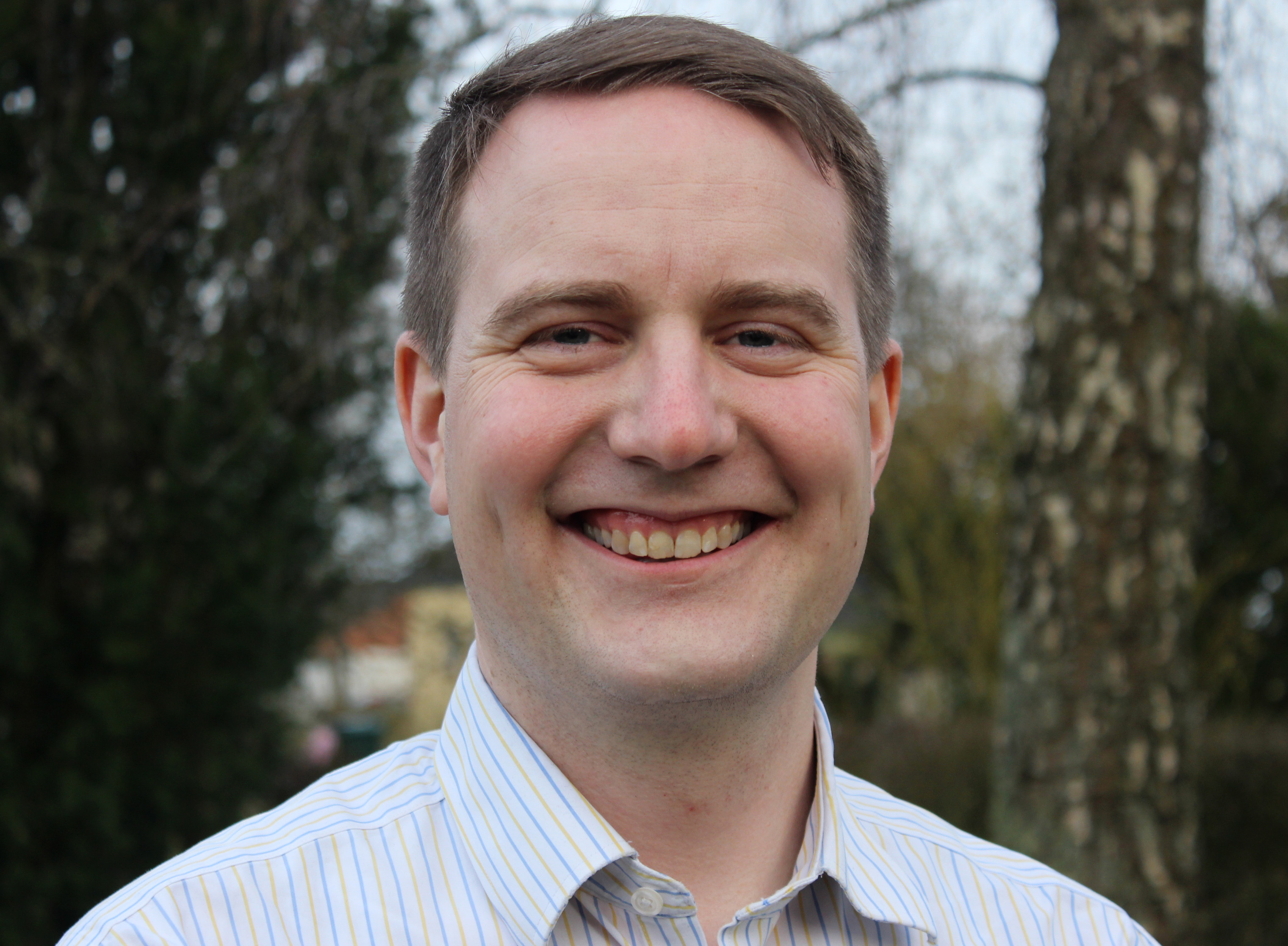
[[ GregersP | (Hans) Gregers Hedegaard Petersen ]]

Name: (Hans) Gregers Hedegaard Petersen
Job Title: Partner, Senior Consultant
Company: Septima
Country: Danmark
City: Copenhagen
Local Chapter: Danmark
Social Media: https://dk.linkedin.com/in/hansgregerspetersen, https://twitter.com/GregersP, https://github.com/GregersP
Website: http://www.septima.dk/
Coordinate: 55° 41' 31.20" N, 12° 35' 56.40" E
Languages: English, German, Swedish, Norwegian, Danish

Experience: OSGeo coder.png OSGeo charter.png OSGeo user.png

(Hans) Gregers Hedegaard Petersen

Greg is an open source and open data advocate. Though he started as a statistical consultant and developer (using FOSS like Debian, R, etc), he ended up in the geo business. Now he consults clients on several areas regarding geodata - mostly within the use of geodata and GIS at public admin clients. He has a strong belief in Open Data, and co-founded the company Septima in January 2013 to utilize the newly released national data. Greg is an avid speaker on the subject of Open Data.

Loading map...

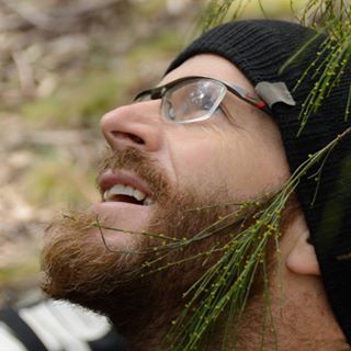
[[ Adamsteer | Adam Steer ]]

Name: Adam Steer
Job Title: Postdoctoral researcher
Company: Norwegian Polar Institute
Country: Norway
State: Troms
City: Tromsø
Local Chapter: Norway
Website: http://spatialised.net
Email: adam.d.steer@gmail.com
Coordinate: 69° 41' 38.40" N, 18° 57' 18.00" E


Experience: OSGeo charter.png OSGeo user.png

Adam Steer

I currently work as a postodoctoral researcher at the Norwegian Polar Institute, understanding sea ice structure and morphology in the northern Barents Sea.

I have a doctorate in surveying technology from the University of Tasmania, based on estimating sea ice thickness at high resolution by combining airborne lidar, digital photogrammetry, field observations (yes! I love to drill holes in ice!), and upward looking sonar from an Autonomous Underwater Vehicle.

I'm very strongly motivated to promote the use of open geospatial tools for developing geospatial strategies, research and development - removing barriers to serious data analysis.

I also like to ski, climb rocks and ride mountain bikes as fast as possible. And sit under trees and watch the sky.

I’m an OSGeo charter member, and helped to found OSGeo Oceania. I was part of the local organising committee for FOSS4G SotM Oceania 2018 and 2019, and director of OSGeo Oceania in 2019 and 2020.

Loading map...

[[ Adiez | Agustín Diez Castillo ]]

Name: Agustín Diez Castillo
Country: Spain
City: València
Local Chapter: Capítulo Local de la comunidad hispano-hablante
Coordinate: 39° 40' 55.05" N, 0° 45' 55.59" W


Experience: OSGeo charter.png OSGeo user.png

Agustín is a GIS specialits at the University of Valencia, Spain. Agustín teaches Geographic Information Systems in the Master program of the Departament de Prehistòria i Aruqeologia.

Loading map...

[[ Aleda Freeman | Aleda Freeman ]]

Name: Aleda Freeman
Job Title: Web Mapping Services Manager
Company: MassGIS / Executive Office of Technology Services and Security / Commonwealth of Massachusetts
Address: 1 Ashburton Pl.
Country: USA
State: Massachusetts
City: Boston
Website: http://www.mass.gov/mgis
Email: aleda.freeman@mass.gov
Coordinate: 42° 21' 33.90" N, 71° 3' 44.30" W
Languages: English

Experience: OSGeo charter.png OSGeo user.png

Aleda Freeman
Loading map...

[[ Afabiani | Alessio Fabiani ]]

Name: Alessio Fabiani
Job Title: Tech lead
Company: GeoSolutions
Address: Massarosa, Lucca, Italia
Country: Italia
City: Massarosa
Local Chapter: Italiano
Instant Messaging: Skype: alessio.fabiani
Social Media: http://twitter.com/alfa7691
Website: http://geo-solutions.it/
Coordinate: 43° 52' 19.56" N, 10° 20' 14.64" E
Languages: Italian, English

Experience: OSGeo coder.png OSGeo psc.png OSGeo user.png

Alessio Fabiani
Loading map...

[[ Afabiani | Alessio Fabiani ]]

Name: Alessio Fabiani
Job Title: Tech lead
Company: GeoSolutions
Address: Massarosa, Lucca, Italia
Country: Italia
State: Italia (ITA)
City: Massarosa
Local Chapter: Italiano
Instant Messaging: Skype: alessio.fabiani
Social Media: http://twitter.com/alfa7961
Website: http://www.geo-solutions.it
Email: alessio.fabiani@geo-solutions.it
Coordinate: 43° 52' 19.56" N, 10° 20' 14.64" E
Languages: Italian, English

Experience: OSGeo coder.png OSGeo psc.png OSGeo charter.png OSGeo user.png

Alessio Fabiani
Loading map...

[[ Alex Mandel | Alex Mandel, Phd ]]

Name: Alex Mandel, Phd
Job Title: Geospatial Scientist
Company: Geography, University of California, Davis
Country: USA
State: CA
City: Davis
Local Chapter: California Chapter
Website: http://careers.stackoverflow.com/wildintellect
Coordinate: 38° 33' 2.52" N, 121° 44' 2.04" W


Experience: OSGeo coder.png OSGeo charter.png OSGeo user.png OSGeo Committer.png

Alex Mandel, Phd

Alex is a geographer with a background in natural resource sciences. He studies geospatial software development and applications working with many government agencies and other small organizations to implement geospatial solutions. He is an active advocate of OSGeo in the Western US at related academic conferences and local un-conferences.

Loading map...

[[ Alexbruy | Alexander Bruy ]]

Name: Alexander Bruy
Country: Ukraine
City: Zaporizhzhya
Local Chapter: Ukraine
Coordinate: 47° 24' 59.43" N, 35° 55' 22.69" E


Experience: OSGeo coder.png OSGeo charter.png OSGeo user.png

Alexander Bruy

Alexander is a microelectronics engineer who got interested in GIS and open source programming during university. He started with OSGeo4W and QGIS, first met the OSGeo community by helping on translation. Then he became QGIS contributor, later — core developer and translation team lead. Is a GFOSS enthusiast and a active member of both the international and Ukrainian OSGeo communities, in particular the QGIS one.

Loading map...

[[ Akotsev | Alexander Kotsev ]]

Name: Alexander Kotsev
Job Title: Scientific Officer
Company: JRC
Address: Via E. Fermi, 2749 – TP 263 - 21027 Ispra (VA),
Country: Italiano
State: VA
City: Ispra
Social Media: https://www.linkedin.com/in/akotsev/
Email: akotsev@gmail.com
Phone: +393458193167
Coordinate: 45° 48' 36.00" N, 8° 37' 33.60" E
Languages: Italian, English, Bulgarian, Russian

Experience: OSGeo user.png OSGeo Committer.png

I graduated in GIScience at the University of Sofia and started an academic career at the same university in 2004. In 2011 I was awarded a senior Fulbright scholarship at the Ohio State University where I worked with geocomputation and geovisualisation of spate-time data. Since 2012 I work at the Joint Research Centre of the European Commission. I have accomplished many consultancies in data management in EU, Africa and Asia. My research interests include data analysis, sensor web, open source technology and architectures for knowledge management. I have extensively been using OSGEO products for teaching and research since 15 years.

Loading map...

[[ Alexanno | Alexander Salveson Nossum ]]

Name: Alexander Salveson Nossum
Job Title: software developer
Company: Norkart
Country: Norway
City: Trondheim
Local Chapter: Norway
Social Media: http://twitter.com/alexanno, http://github.com/alexanno
Website: http://alexanno.net/
Coordinate: 63° 25' 49.80" N, 10° 23' 42.36" E


Experience: OSGeo coder.png OSGeo user.png

Alexander Salveson Nossum
Loading map...

[[ Moovida | Andrea Antonello ]]

Name: Andrea Antonello
Job Title: Tech lead
Company: HydroloGIS
Address: Bolzano, Alto Adige, Italia
Country: Italia
City: Bolzano
Local Chapter: Italiano
Social Media: http://twitter.com/themoovida
Website: http://www.andreaantonello.com/
Email: andrea.antonello@gmail.com
Coordinate: 46° 29' 50.51" N, 11° 20' 56.34" E
Languages: Italian, German, English

Experience: OSGeo coder.png OSGeo charter.png OSGeo user.png

Andrea Antonello
Loading map...

[[ Aross | Andrea Ross ]]

Name: Andrea Ross
Job Title: Director
Company: LocationTech
Country: Canada
State: Ontario
City: Ottawa
Local Chapter: Ottawa Chapter
Website: http://42aross.wordpress.com/
Coordinate: 45° 25' 15.72" N, 75° 41' 24.08" W


Experience: OSGeo charter.png OSGeo user.png

Andrea Ross

Andrea Ross has worked with open technologies and open communities for most of the last 20 years. Her roles during that time involved developing healthcare, telecom, database, and geospatial systems. Currently, as Director of Ecosystem Development for the Eclipse Foundation, nurturing open communities is what she does for a living. Andrea is a founder and inaugural Director of LocationTech.

Loading map...

[[ Andy Anderson | Andy Anderson ]]

Name: Andy Anderson
Job Title: Academic Technology Specialist
Company: Amherst College
Address: Amherst College, Academic Technology Services
Country: USA
State: Massachusetts
City: Amherst
Local Chapter: North America
Social Media: https://twitter.com/GeoObservatory
Website: https://www.amherst.edu/people/facstaff/aanderson
Email: aanderson@amherst.edu
Coordinate: 42° 22' 15.60" N, 72° 31' 1.20" W
Languages: English, Spanish

Experience: OSGeo charter.png OSGeo user.png

I have been using open-source software since the early 1980s, and specifically FOSS4G since 2007. I have been programming since the mid-1970s, primarily for scientific applications but also including open-source software, beginning with Fortran and C and continuing most recently with JavaScript, Python, R, and SQL. I currently teach occasional classes with FOSS4G and write documentation for using FOSS4G in my position as Academic Technology Specialist for Mathematical and Spatial Data Analysis at Amherst College, in my role as Adjunct Assistant Professor in Environmental Conservation at the University of Massachusetts, and as a member of GeoForAll. I also served on the Boston Local Organizing Committee for FOSS4G 2017, in particular as chair of the Program Committee.

Loading map...

[[ Angelos Tzotsos | Angelos Tzotsos ]]

Name: Angelos Tzotsos
Job Title: Geospatial Software Developer, Remote Sensing Consultant, Senior Researcher
Company: Open Source Geospatial Foundation
Country: Greece
State: Attica
City: Athens
Local Chapter: Greek
Social Media: https://twitter.com/tzotsos
Website: http://users.ntua.gr/tzotsos
Email: tzotsos@osgeo.org
Phone: +30-693-2149344
Coordinate: 37° 58' 44.40" N, 23° 46' 3.36" E
Languages: Greek, English

Experience: OSGeo board.png OSGeo coder.png OSGeo psc.png OSGeo charter.png OSGeo user.png OSGeo Committer.png

Angelos Tzotsos

Angelos is a remote sensing expert with background in surveying engineering and software development. He is involved in numerous activities around free and open source software and has great experience in geospatial applications, geospatial data catalogues and metadata. His research involves remote sensing, machine learning, computer vision and object-based image analysis. He is currently the President of OSGeo and also serves at the OSGeo Board of Directors. He is an active advocate of OSGeo in Greece at related conferences. He is also an individual OGC member. His recent activity involved implementation of data.gov catalog service and implementation of the Greek national open data portal geodata.gov.gr.

Loading map...

[[ Kalxas | Angelos Tzotsos ]]

Name: Angelos Tzotsos
Job Title: Geospatial Software Developer, Remote Sensing Consultant, Senior Researcher
Company: Open Source Geospatial Foundation
Country: Greece
State: Attica
City: Athens
Local Chapter: Greek
Social Media: https://twitter.com/tzotsos
Website: http://users.ntua.gr/tzotsos
Email: tzotsos@osgeo.org
Phone: +30-693-2149344
Coordinate: 37° 58' 44.40" N, 23° 46' 3.36" E
Languages: Greek, English

Experience: OSGeo board.png OSGeo coder.png OSGeo psc.png OSGeo charter.png OSGeo user.png OSGeo Committer.png

Angelos Tzotsos

Angelos is a remote sensing expert with background in surveying engineering and software development. He is involved in numerous activities around free and open source software and has great experience in geospatial applications, geospatial data catalogues and metadata. His research involves remote sensing, machine learning, computer vision and object-based image analysis. He is currently the President of OSGeo and also serves at the OSGeo Board of Directors. He is an active advocate of OSGeo in Greece at related conferences. He is also an individual OGC member. His recent activity involved implementation of data.gov catalog service and implementation of the Greek national open data portal geodata.gov.gr.

Loading map...

[[ Anitagraser | Anita Graser ]]

Name: Anita Graser
Job Title: Senior Scientist
Company: AIT Austrian Institute of Technology
Country: Austria
City: Vienna
Local Chapter: FOSSGIS e.V.
Instant Messaging: https://fosstodon.org/@underdarkgis
Social Media: https://www.linkedin.com/in/anita-graser-95102530
Website: https://anitagraser.com/
Email: anitagraser@gmx.at
Coordinate: 48° 16' 2.77" N, 16° 25' 30.47" E
Languages: German, English

Experience: OSGeo psc.png OSGeo charter.png OSGeo exboard.png OSGeo user.png

QGIS PSC member, author of 'Learning QGIS' and co-author of 'QGIS Map Design' and 'QGIS 2 Cookbook'.

Loading map...

[[ Anna Petrasova | Anna Petrasova ]]

Name: Anna Petrasova
Job Title: Geospatial Research Software Engineer
Company: North Carolina State University
Country: USA
State: NC
City: Raleigh
Local Chapter: North America
Coordinate: 35° 46' 49.45" N, 78° 38' 20.68" W
Languages: Czech, English

Experience: OSGeo coder.png OSGeo psc.png OSGeo charter.png OSGeo user.png

Anna Petrasova

Anna is an active GRASS GIS developer since 2011. She promotes free and open source geospatial software for research and education among students and colleagues and supports its users both in person and on mailing lists.

Loading map...

[[ Aghisla | Anne Ghisla ]]

Name: Anne Ghisla
Country: Germany
State: Berlin
City: Berlin
Local Chapter: FOSSGIS e.V.
Coordinate: 52° 31' 1.33" N, 13° 23' 19.90" E
Languages: Italian, French, English, German

Experience: OSGeo coder.png OSGeo charter.png OSGeo exboard.png OSGeo user.png

Anne Ghisla

Anne is a natural scientist who got interested in GIS and open source programming during university. She started with GRASS GIS and QGIS, first met the OSGeo community by helping on documentation. Then she started programming in 2008 thanks to Google Summer of Code, and became mentor and administrator for OSGeo in following years. She doesn't code much anymore, as she is now focused on connecting people and communities of different software projects. She helped Jorge Rocha with CRO duties for OSGeo elections in 2019 and 2020.

Loading map...

[[ Ant Scott | Ant Scott ]]

Name: Ant Scott
Job Title: Geospatial Consultant
Company: Astun Technology
Address: 17 West St, Epsom KT18 7RL
Country: United Kingdom
City: Epsom
Local Chapter: OSGeo UK
Social Media: http://@antscott
Email: antony.scott@gmail.com
Coordinate: 51° 19' 59.56" N, 0° 16' 22.37" W
Languages: English, French

Experience: OSGeo user.png

Loading map...