File list
Jump to navigation
Jump to search
This special page shows all uploaded files.
| Date | Name | Thumbnail | Size | User | Description | Versions |
|---|---|---|---|---|---|---|
| 00:20, 7 October 2008 | Intergeo Metadata Publikation.pdf (file) | 1.25 MB | Wiki-Rusc | Vortrag Ruth Schönbuchner- Publikation OGC und Metadateneditor in gvSIG | 1 | |
| 12:32, 31 July 2018 | Sunoharam.JPG (file) |  |
1.23 MB | Wiki-Sunoharam | 1 | |
| 05:02, 11 July 2013 | Michogarcia.jpeg (file) |  |
1.23 MB | Wiki-Michogar | 1 | |
| 21:19, 3 March 2021 | FieldPage 4.jpeg (file) |  |
1.22 MB | Wiki-Artie | 1 | |
| 14:20, 8 February 2018 | Reunion 18 geoinquietoscordoba2.png (file) |  |
1.21 MB | Wiki-Pasoriano | Category:Iniciativas_Locales Category:Geoinquietos Córdoba | 1 |
| 12:55, 10 February 2012 | 2012-Top10NL-Wijchen-jwstyle.jpg (file) |  |
1.2 MB | Wiki-Jwva | Top10NL, omgeving Wijchen. Op basis van de GML open geodata van de Top10NL (basisregistratie Topografie, Kadaster 2011), vrijgegeven door Kadaster op 1-1-2012 onder de Creative Commons BY licentie. Samenstelling en kleurenschema: [[user:janwillemvanaalst| | 1 |
| 09:36, 23 April 2010 | Nyc-2010-receipts.pdf (file) | 1.2 MB | Pramsey | Receipts from the 2010 New York Code Sprint | 1 | |
| 08:21, 14 December 2017 | Bragadiru 02.jpg (file) |  |
1.19 MB | Vasile | 1 | |
| 06:06, 13 September 2006 | AndyTurnerGridsFOSS4G2006.pdf (file) | 1.19 MB | Wiki-Andyt | pdf of Grids 1.0 beta nad beyond presentation | 1 | |
| 21:56, 15 October 2009 | Fossgis10-logo.png (file) | 1.18 MB | Wiki-Torsten Brassat | FOSSGIS 2010 Logo | 1 | |
| 08:17, 14 June 2011 | Remeras-denver.jpg (file) |  |
1.18 MB | Wiki-Maurimiranda | Modelo de remera OSGeo-es para la conferencia de Denver 2011 | 1 |
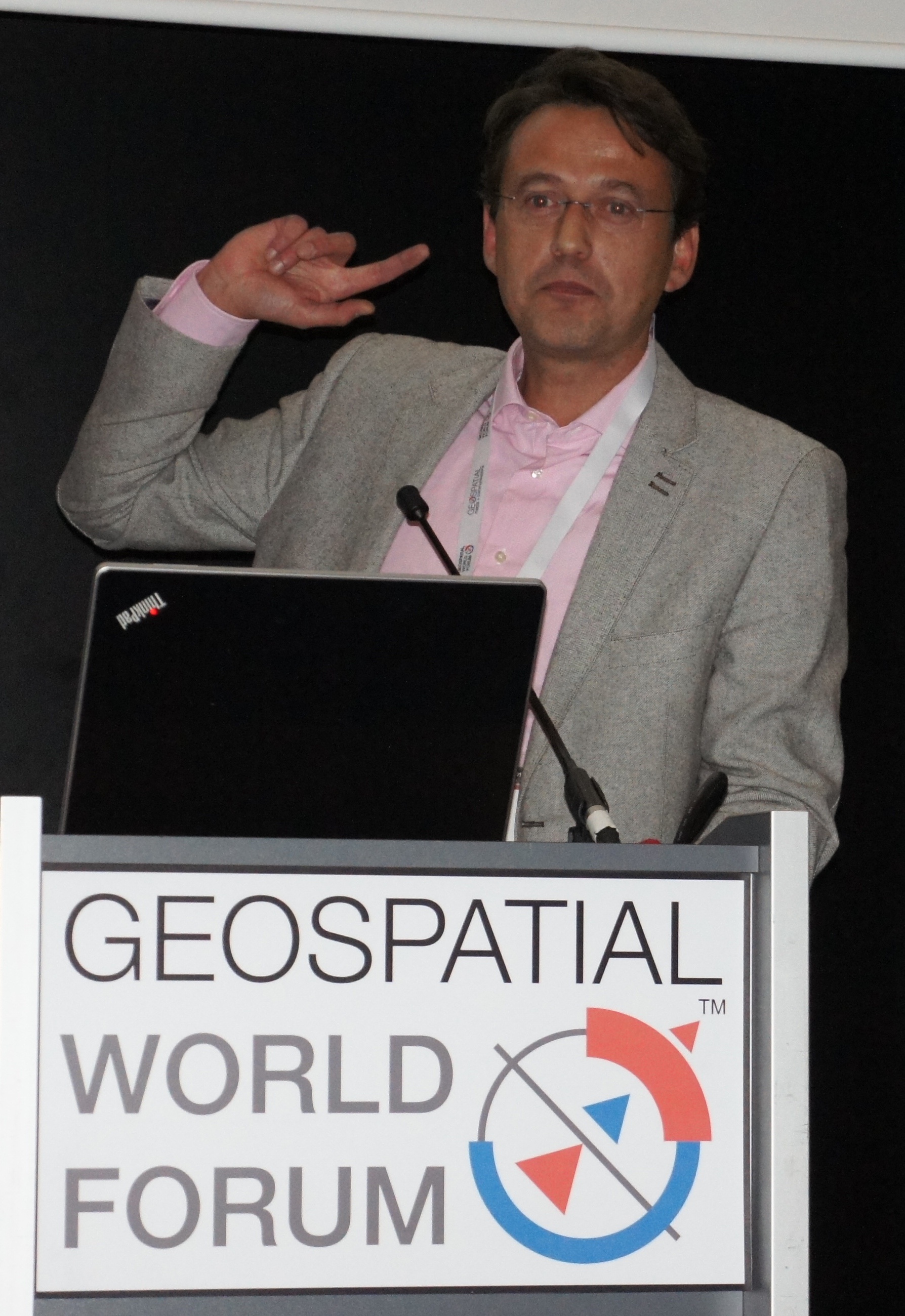
| 12:46, 19 April 2012 | The DreamTeam GWF 2012 v2.jpg (file) |  |
1.18 MB | Just | Team presenting at the Geospatial World Forum Amsterdam The Netherlands, April 25, 2012. See http://www.geospatialworldforum.org/2012/open.htm | 1 |
| 08:21, 14 June 2011 | Remeras-buenosaires.jpg (file) |  |
1.18 MB | Wiki-Maurimiranda | Modelo de remera OSGeo-es para la conferencia de Buenos Aires 2012 | 1 |
| 08:43, 16 September 2011 | 2011 FOSS4G PDX Lightning.pdf (file) | 1.18 MB | Elil | 1 | ||
| 07:05, 15 May 2020 | Image.jpeg (file) |  |
1.18 MB | Wiki-Aditi Sawant | Reverted to version as of 14:01, 15 May 2020 | 4 |
| 00:33, 17 July 2015 | Jeff georg renew mou 2015.jpg (file) |  |
1.17 MB | Jmckenna | 2 | |
| 13:48, 10 November 2023 | Jg16.jpg (file) |  |
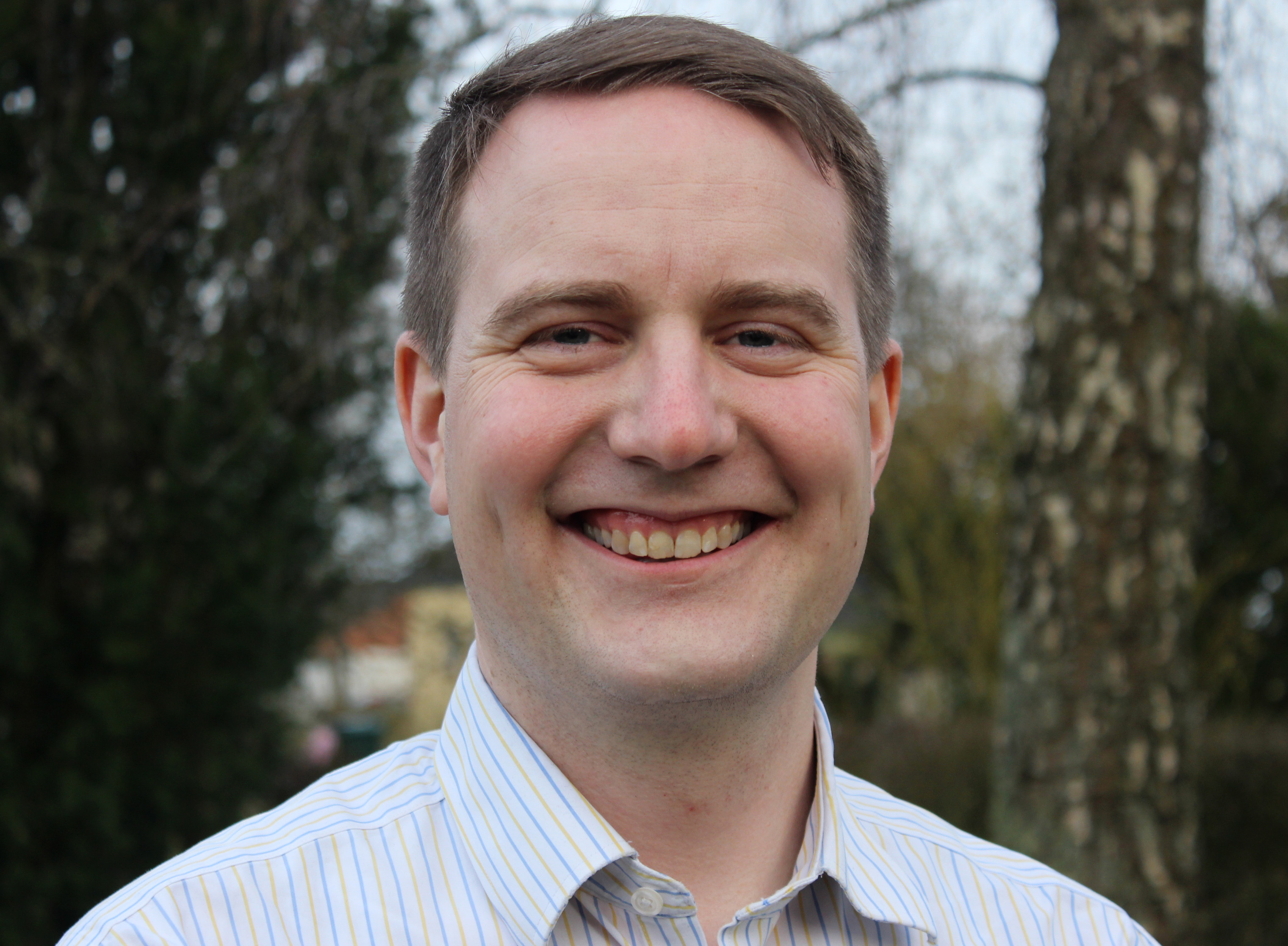
1.17 MB | Jive | Jody Garnett | 1 |
| 03:09, 14 December 2010 | 1xeoinquedos.JPG (file) |  |
1.17 MB | Wiki-Michogar | Asistentes al 1º Xeoinquedos | 1 |
| 10:22, 22 August 2014 | Promotion during hydro session.jpg (file) |  |
1.16 MB | Wiki-Peter.loewe | 1 | |
| 08:19, 14 June 2011 | Remeras-girona.jpg (file) |  |
1.15 MB | Wiki-Maurimiranda | Modelo de remera OSGeo-es para la conferencia de Girona 2012 | 1 |
| 09:54, 15 January 2014 | Pgg.jpg (file) |  |
1.15 MB | Wiki-Fegyi001 | 1 | |
| 09:02, 27 August 2015 | MArc Geospatial World Forum 2012 RAI Amsterdam.jpeg (file) |  |
1.12 MB | Wiki-MarcVloemans | 1 | |
| 01:17, 23 October 2008 | Intergeo2008 fitzke deegree-charts-sos 2008-09-30.pdf (file) | 1.12 MB | Wiki-JensFitzke | Jens Fitzke's presentation about deegree SOS and deegree Charts, held at the Open Source Park, INTERGEO 2008 in Bremen, Germany | 1 | |
| 08:49, 4 February 2015 | Osgeo-chicago-2006-first-meeting.png (file) |  |
1.12 MB | Jmckenna | A picture from OSGeo's first ever meeting, on 4 February 2006, in Chicago U.S.A. | 1 |
| 15:43, 20 July 2021 | 2021-colourful-ocean.png (file) |  |
1.12 MB | Jonahsullivan | 1 | |
| 00:53, 3 March 2016 | Kaminzimmer2.jpg (file) |  |
1.11 MB | Tadams | 1 | |
| 03:57, 27 November 2007 | GIS OSGeo.pdf (file) | 1.11 MB | Wiki-Kai | Artikel über die OSGeo, in "GIS-Zeitschrift für Geoinformatik", 11/07,S.38-41 | 1 | |
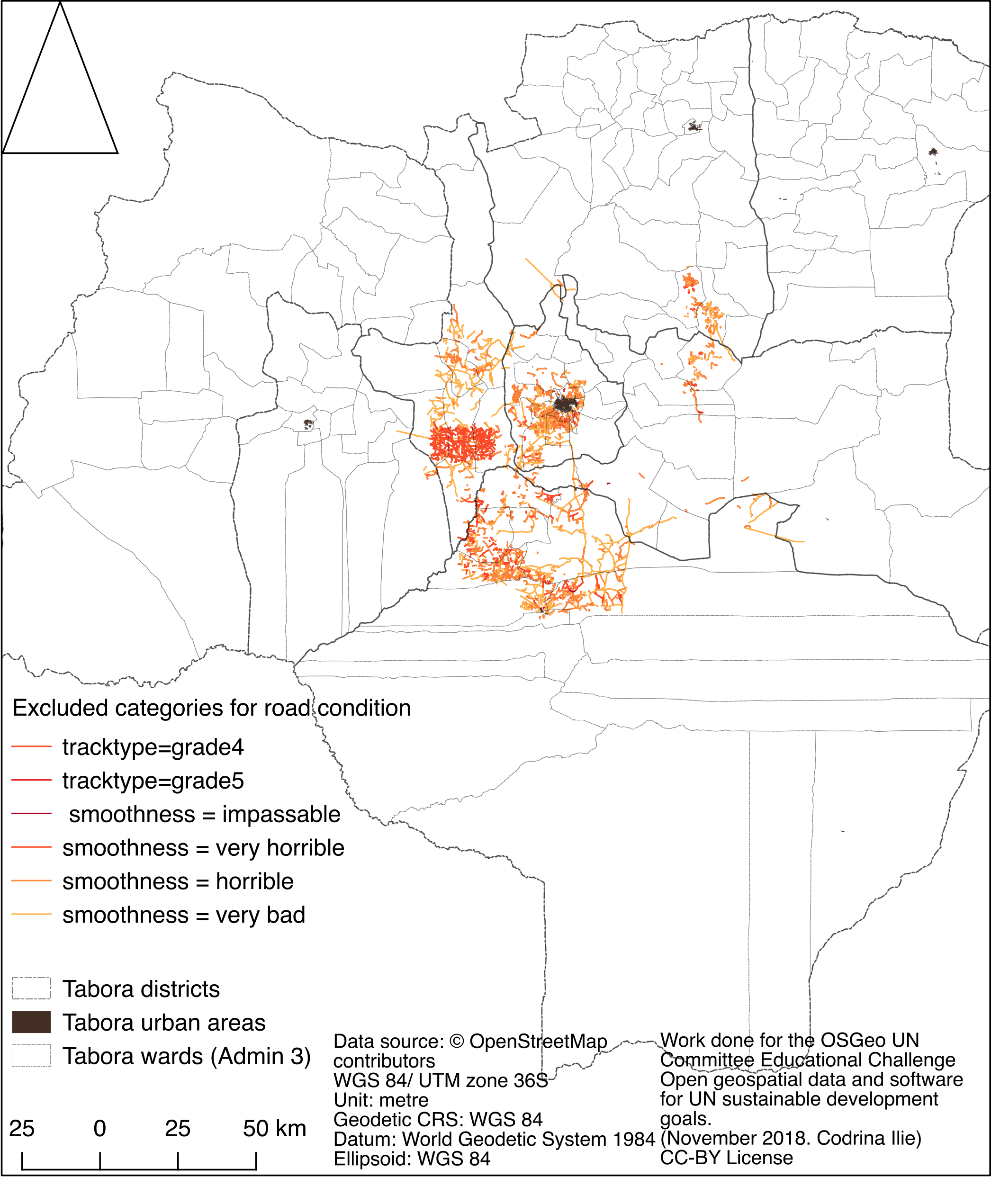
| 02:51, 21 January 2019 | Fig10 excludedRoads.png (file) |  |
1.1 MB | Codrina | Spatial distribution of OSM roads that have been tagged as in bad condition. | 1 |
| 01:59, 8 September 2006 | Foss4geo06 igeoportal-workshop.pdf (file) | 1.1 MB | Wiki-Taddei | deegree iGeoPortal Workshop presentation | 1 | |
| 00:11, 1 September 2015 | PortraitGregersPetersen.jpg (file) |  |
1.09 MB | Wiki-GregersP | 2 | |
| 07:05, 29 August 2017 | Doublebyte.png (file) |  |
1.09 MB | Doublebyte | Profile picture (colour) | 1 |
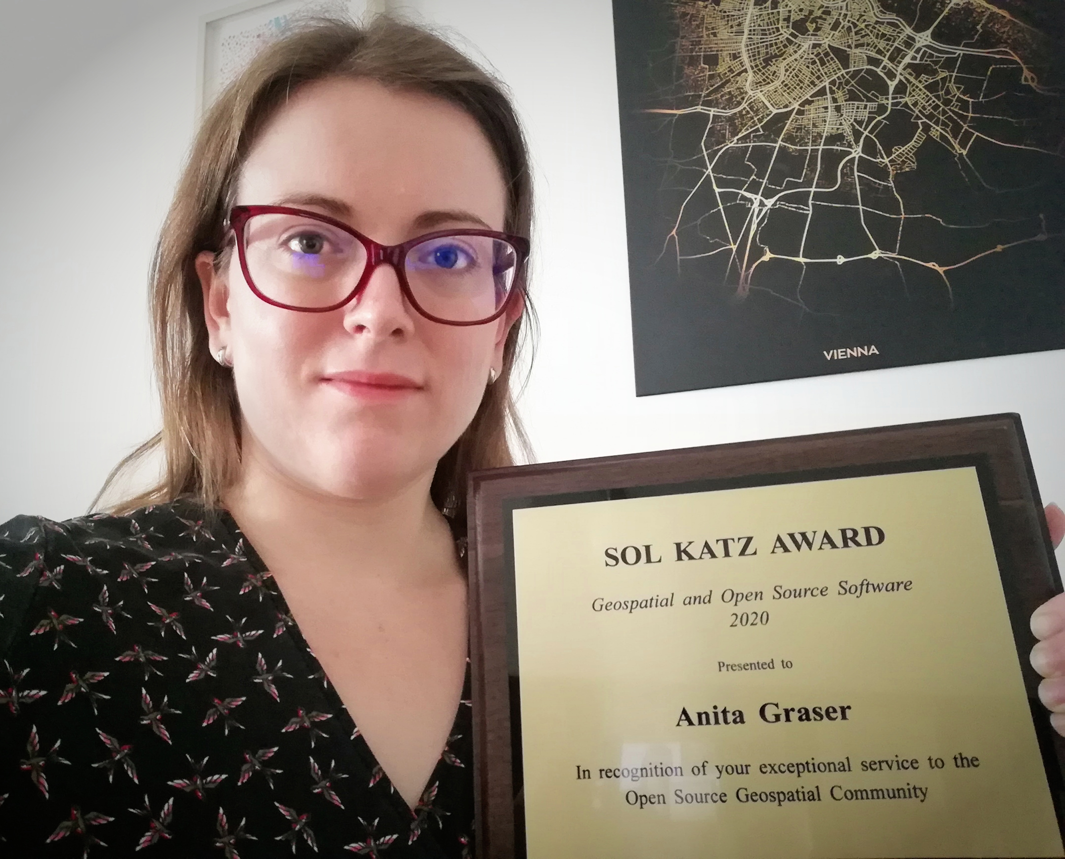
| 04:08, 12 September 2020 | Anita-sol-katz-award.jpg (file) |  |
1.08 MB | Jmckenna | Anita Graser accepting the 2020 Sol Katz Award at the OSGeo AGM. | 1 |
| 23:28, 17 August 2016 | UN contest AASAS.jpg (file) |  |
1.08 MB | Wiki-Aasacademysolutions | The logo uses the UN spider net and the olive leaves design elements with radiating arrows showing a collaborative initiative. Location marker on the top signifies location based services for everyone. The blue color is kept same as UN logo color, whic... | 1 |
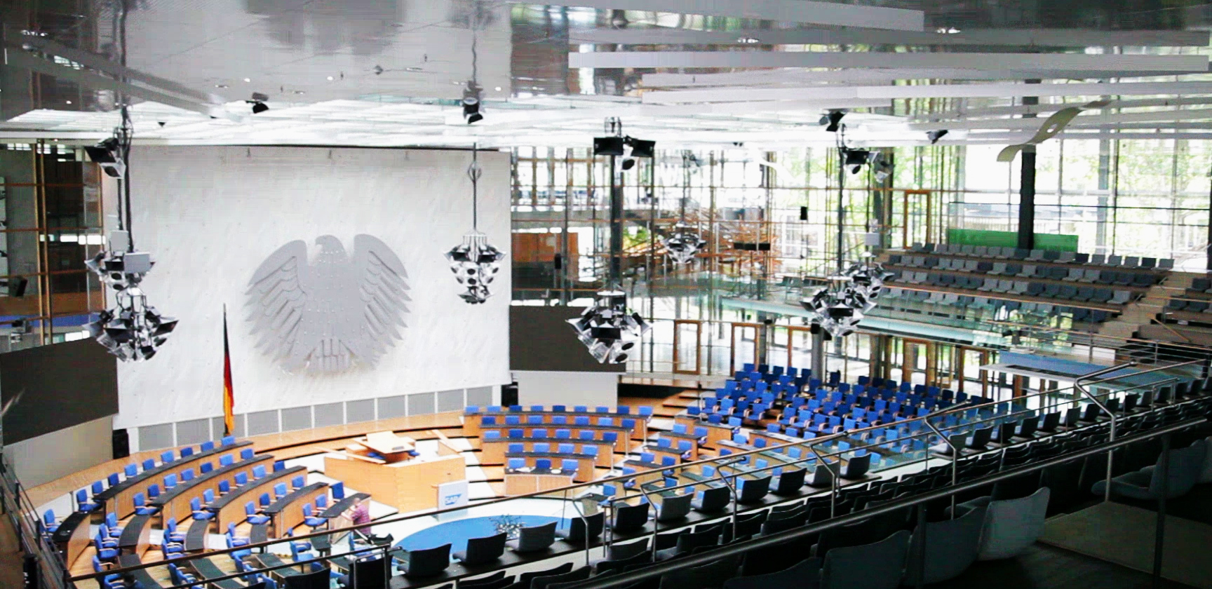
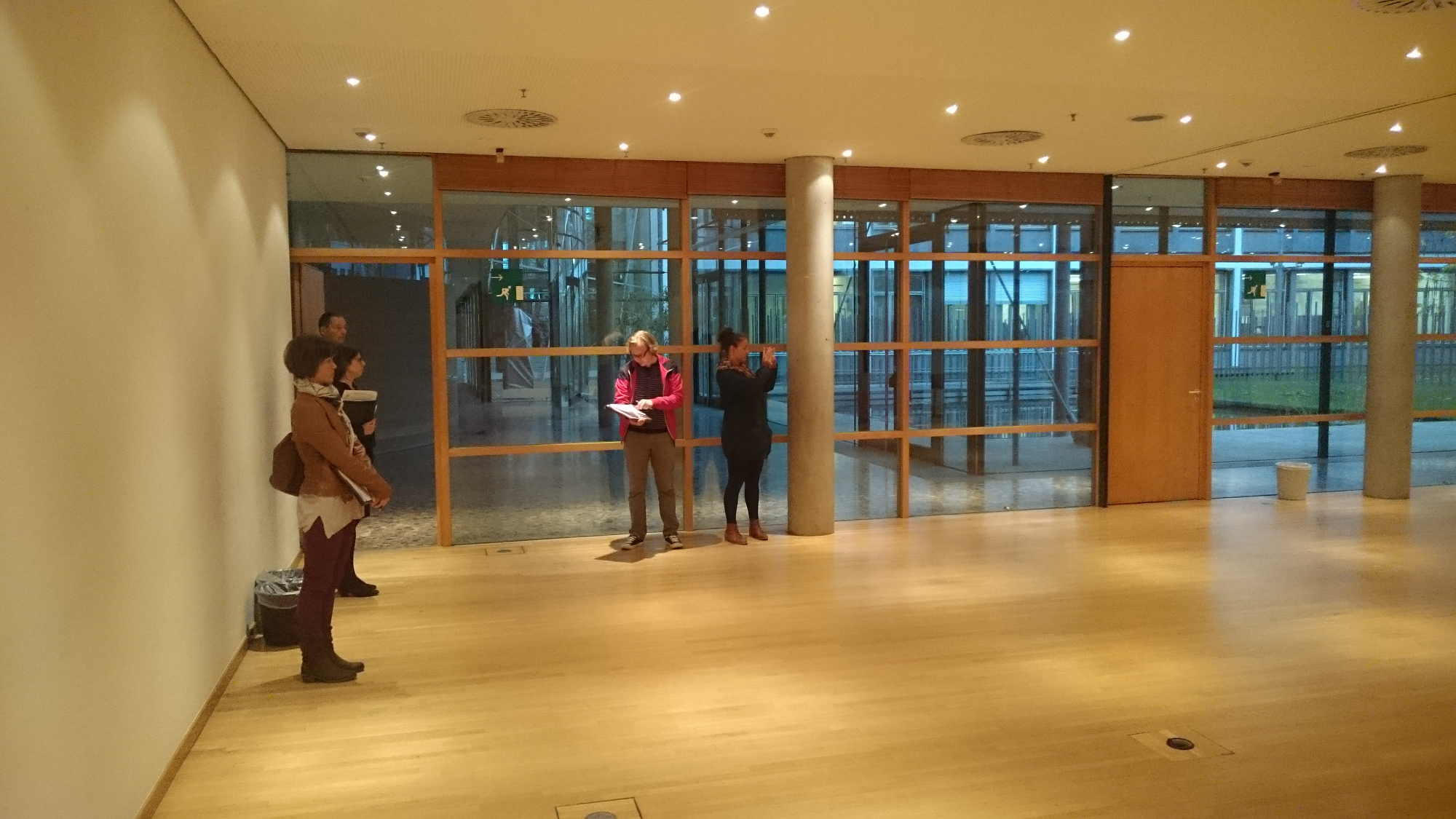
| 08:41, 2 March 2016 | Plenarsaal 2 .jpg (file) |  |
1.08 MB | Tadams | Pleanry Chamber WCCB Bonn | 1 |
| 09:24, 17 June 2020 | FOSS4G LOGO PNG.png (file) | 1.07 MB | Wiki-Mlibman | 1 | ||
| 00:53, 3 March 2016 | Kaminzimmer.jpg (file) |  |
1.07 MB | Tadams | 1 | |
| 00:47, 3 March 2016 | Rheinlobby2.jpg (file) |  |
1.07 MB | Tadams | 1 | |
| 03:58, 26 September 2011 | Korean Local Chapter Activities 2011.pdf (file) | 1.05 MB | Arnulf | 1 | ||
| 06:21, 21 June 2019 | Laboratorios.pdf (file) | 1.05 MB | Sacosta | 1 | ||
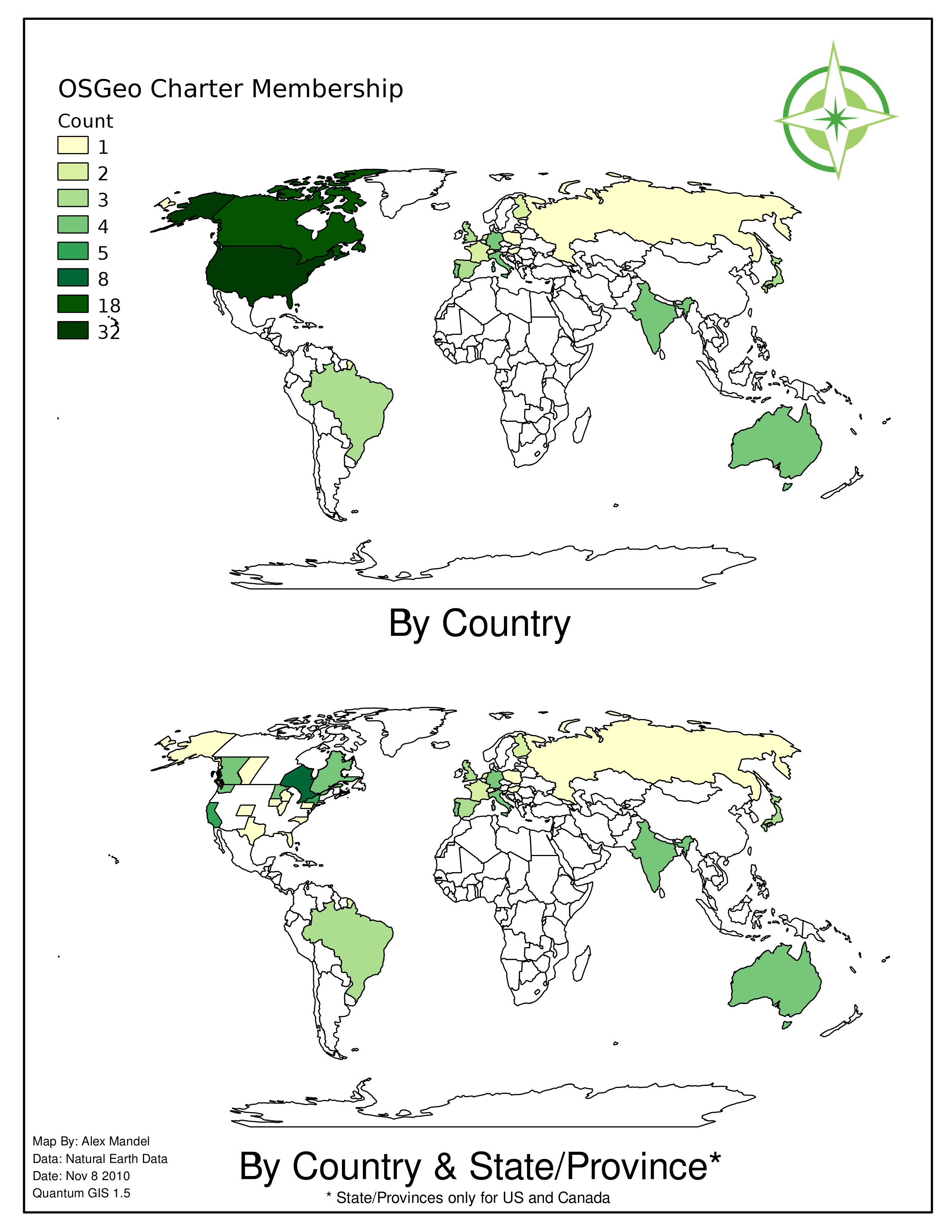
| 10:03, 8 November 2010 | Chartermap11-2010.png (file) |  |
1.03 MB | Wildintellect | 3 | |
| 04:15, 23 January 2021 | Tsutsumida.jpg (file) |  |
1.03 MB | Wiki-Naru | 1 | |
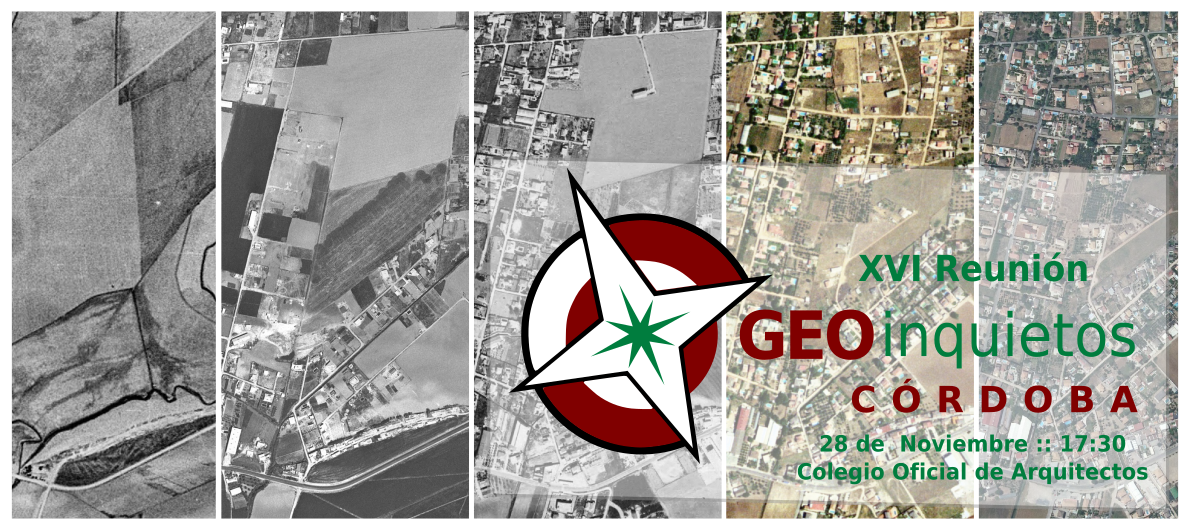
| 02:26, 28 November 2017 | 16 geoinquietos fb.png (file) |  |
1.03 MB | Wiki-Pasoriano | Category:Iniciativas_Locales Category:Geoinquietos Córdoba | 1 |
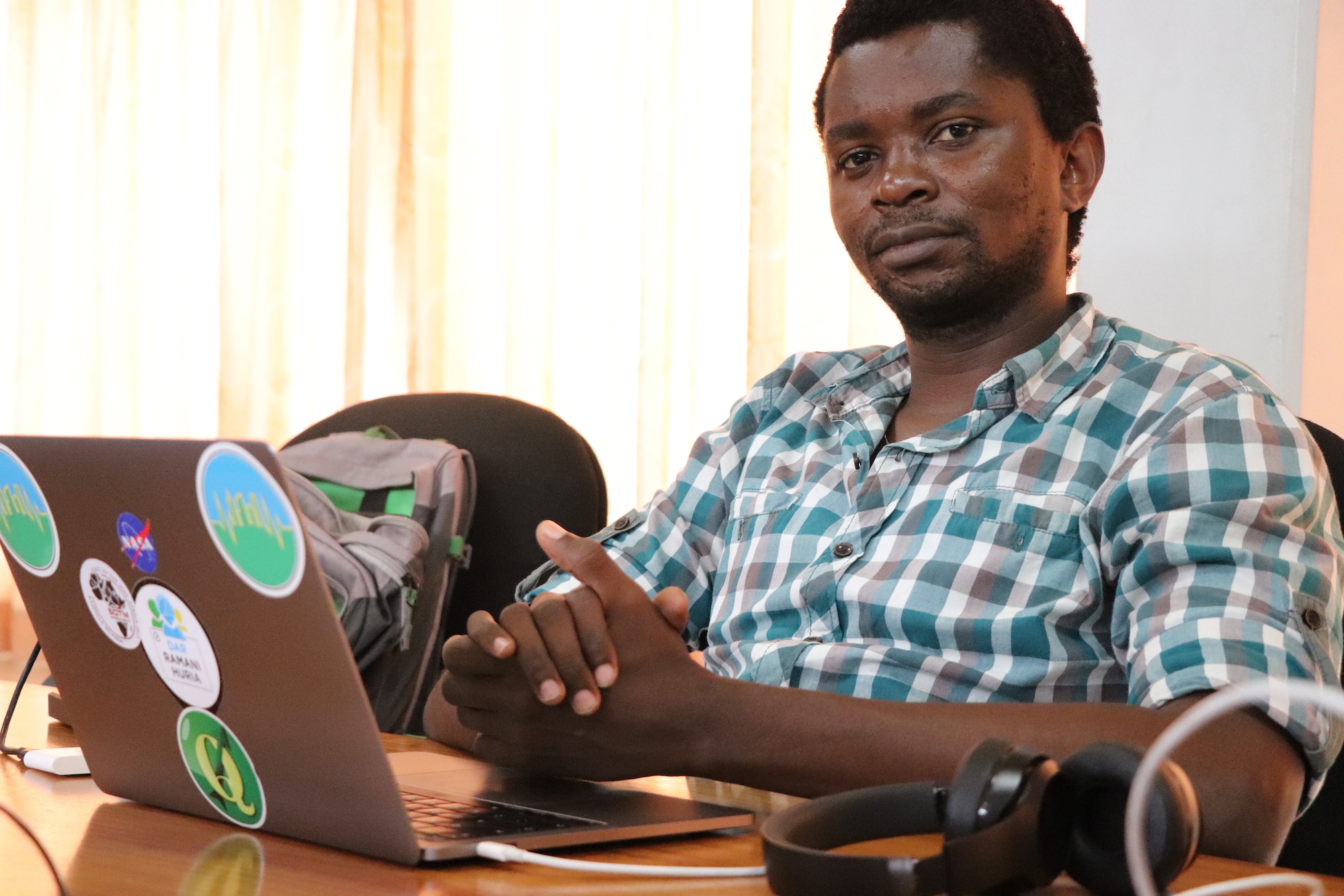
| 20:27, 3 September 2017 | Msilikale.JPG (file) |  |
1.02 MB | Msilikale05 | Msilikale Msilanga | 1 |
| 14:32, 17 November 2014 | PDX OSGeo GIS DAY Flyer.pdf (file) | 1.02 MB | Elil | 1 | ||
| 08:54, 2 March 2016 | Roombonn2.JPG (file) |  |
1.02 MB | Tadams | Room Bonn | 1 |
| 04:56, 18 August 2016 | UN contest Nipesh.jpg (file) |  |
1.01 MB | Wiki-Nippo | 2 | |
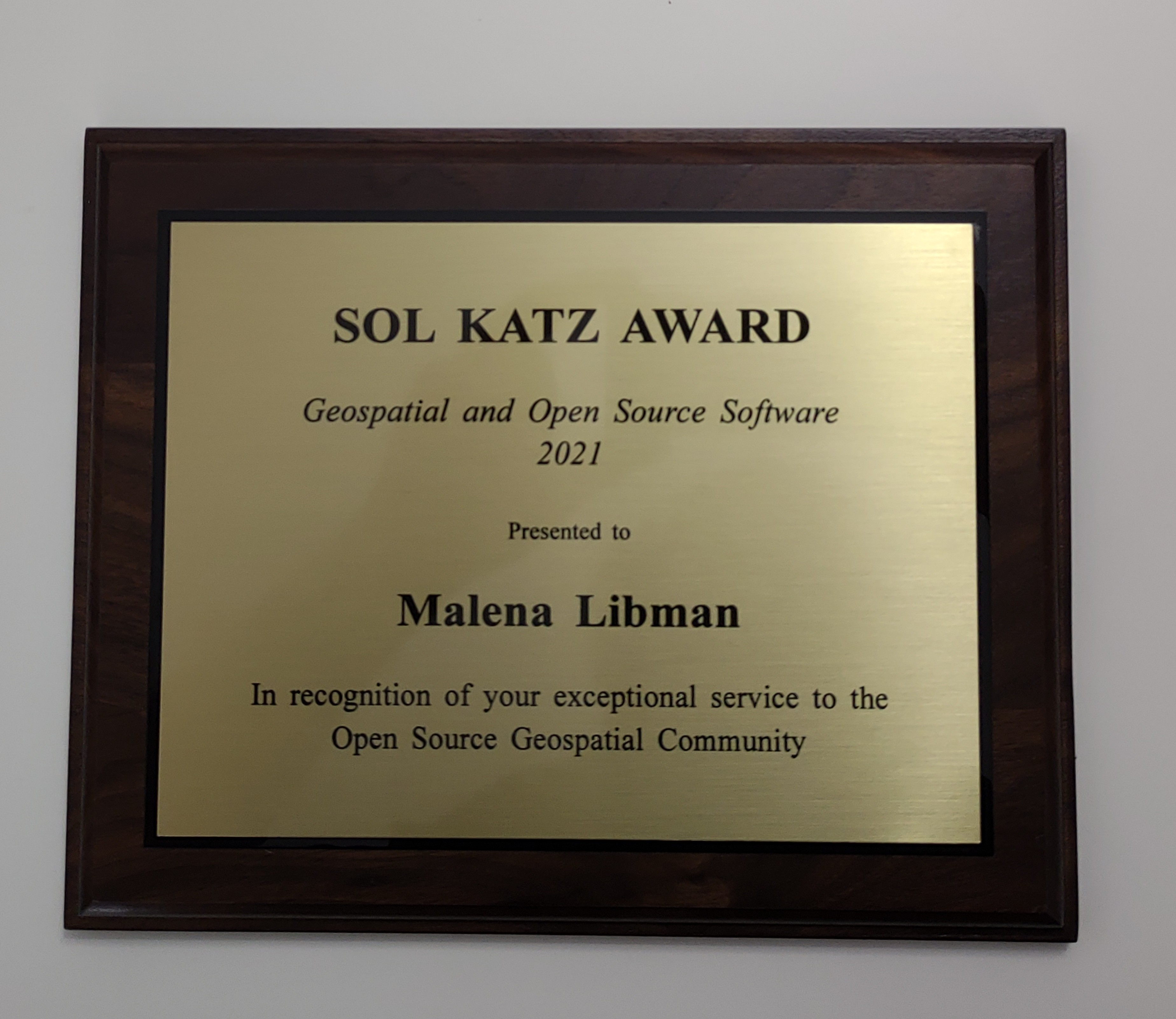
| 07:23, 14 January 2022 | Sol-katz-award-2021-plaque.jpg (file) |  |
1.01 MB | Jmckenna | The 2021 Sol Katz Award plaque, in honour of Malena Libman, and accepted by her brother Ben, at FOSS4G 2021. | 1 |
| 03:27, 8 April 2009 | Lorenzo bechi.PNG (file) |  |
1 MB | Wiki-Jsanchez | 1 | |
| 00:31, 23 October 2008 | Intergeo2008 fitzke deegree-configuration 2008-09-30.pdf (file) | 1 MB | Wiki-JensFitzke | Jens Fitzke's presentation about the deegree Web Services Configuration Tool, held at the Open Source Park, INTERGEO 2008 in Bremen, Germany | 1 | |
| 08:54, 2 March 2016 | Roombonn.JPG (file) |  |
1,018 KB | Tadams | Room Bonn | 1 |