Difference between revisions of "Category:Cursos"
Jump to navigation
Jump to search
(→Cursos) |
(→Cursos) |
||
| Line 11: | Line 11: | ||
=Cursos= | =Cursos= | ||
| − | + | ==Curso_de_utilizaci%C3%B3n_de_Est%C3%A1ndares_Abiertos_con_Software_Libre== | |
| + | # ''Author Name(s)'': [[User:ominiverdi|Lorenzo Becchi]],[[User:jsanz|Jorge Sanz]] | ||
| + | # ''Affilation'': [http://www.blog.ominiverdi.org Ominiverdi.org], [http://www.geomaticblog.net Geomaticblog.net] | ||
| + | # ''URL'': [[Curso_de_utilizaci%C3%B3n_de_Est%C3%A1ndares_Abiertos_con_Software_Libre]] | ||
| + | # ''Description'': Son clases practicas sobre el utilizo de Software Libre para la Geomatica (''GFOSS'') que pueden ser utilizados en clases de auto-aprendizaje o en clases presenciales y de e-learning. El enfoque de estas clases esta sobre la utilizacion de los estandares '''OGC'''. | ||
| + | # ''Keywords'': GFOSS y OGC | ||
| + | # ''Date published'': Octubre, 2008 | ||
| + | # ''License'': Creative Commons Attribution-No Derivative Works 3.0 License (http://creativecommons.org/licenses/by-nd/3.0/). This means that users are free to copy and share this material with others. We encourage new derivatives of this work, but we request that you contact us (email cschweik AT pubpol DOT umass DOT edu) to get permission to do so. | ||
| + | # ''Target audience'': estudiantes graduados o menos, nivel principiante o mediano de GIS | ||
| + | # ''Language'': Spanish | ||
| + | # ''Relevant software'': MS4W, Mapserver, gvSIG, OpenLayers | ||
| + | # ''Module source format'': Wiki | ||
| + | # ''Additional comments'': ... | ||
Revision as of 08:26, 29 September 2008
Esta categoría enseña los cursos prácticos sobre el Software Libre para la Geomatica. ...
Como participar
decir que se puede contribuir con contenidos, correcciones y que los autores (hay que definir asta que punto uno es autor o revisor) tienes derecho a poner su nombre en las paginas.
Como utilizar este material
esplicar ademas de la licencia, que se puede liberalmente utilizar los contenidos en otros textos o clases de e-learning.
Cursos
Curso_de_utilizaci%C3%B3n_de_Est%C3%A1ndares_Abiertos_con_Software_Libre
- Author Name(s): Lorenzo Becchi,Jorge Sanz
- Affilation: Ominiverdi.org, Geomaticblog.net
- URL: Curso_de_utilización_de_Estándares_Abiertos_con_Software_Libre
- Description: Son clases practicas sobre el utilizo de Software Libre para la Geomatica (GFOSS) que pueden ser utilizados en clases de auto-aprendizaje o en clases presenciales y de e-learning. El enfoque de estas clases esta sobre la utilizacion de los estandares OGC.
- Keywords: GFOSS y OGC
- Date published: Octubre, 2008
- License: Creative Commons Attribution-No Derivative Works 3.0 License (http://creativecommons.org/licenses/by-nd/3.0/). This means that users are free to copy and share this material with others. We encourage new derivatives of this work, but we request that you contact us (email cschweik AT pubpol DOT umass DOT edu) to get permission to do so.
- Target audience: estudiantes graduados o menos, nivel principiante o mediano de GIS
- Language: Spanish
- Relevant software: MS4W, Mapserver, gvSIG, OpenLayers
- Module source format: Wiki
- Additional comments: ...
Pages in category "Cursos"
The following 23 pages are in this category, out of 23 total.
C
I
- Instalación de Geonetwork
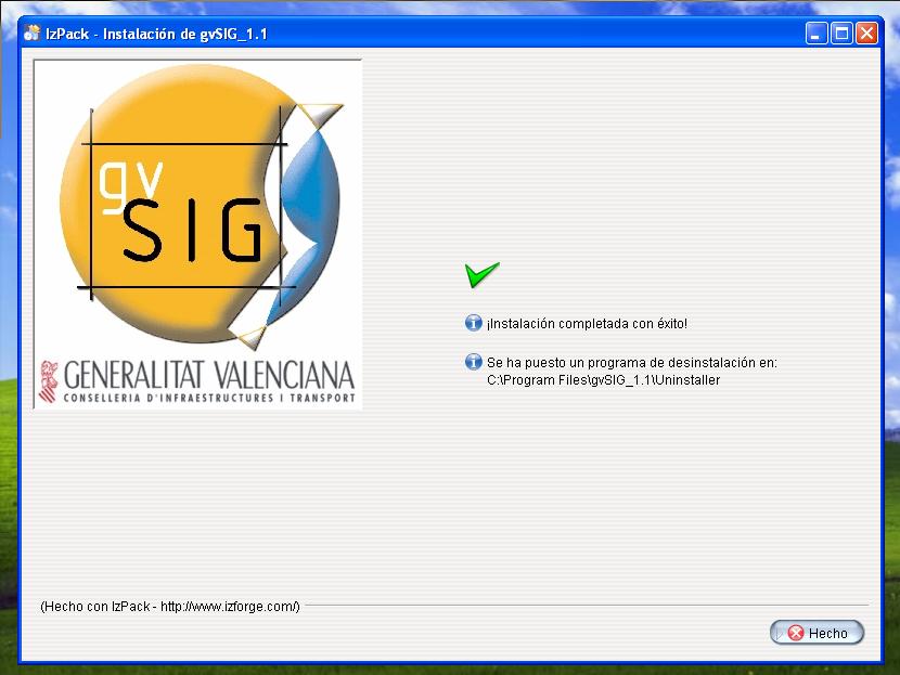
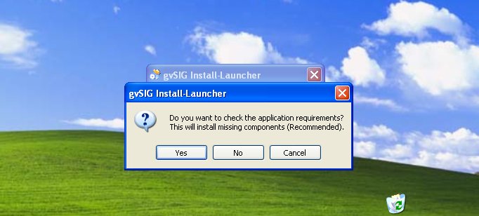
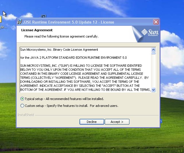
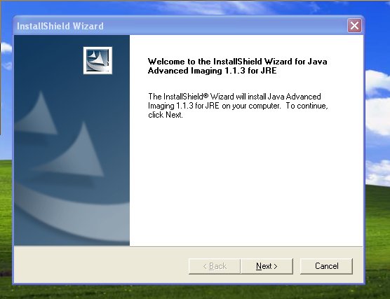
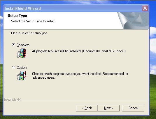
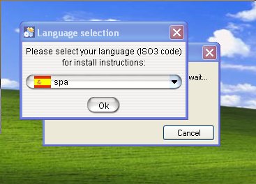
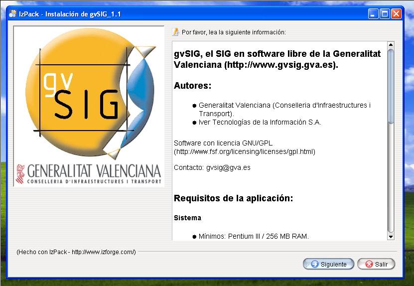
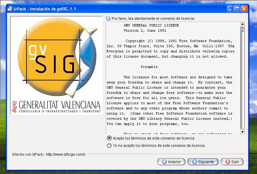
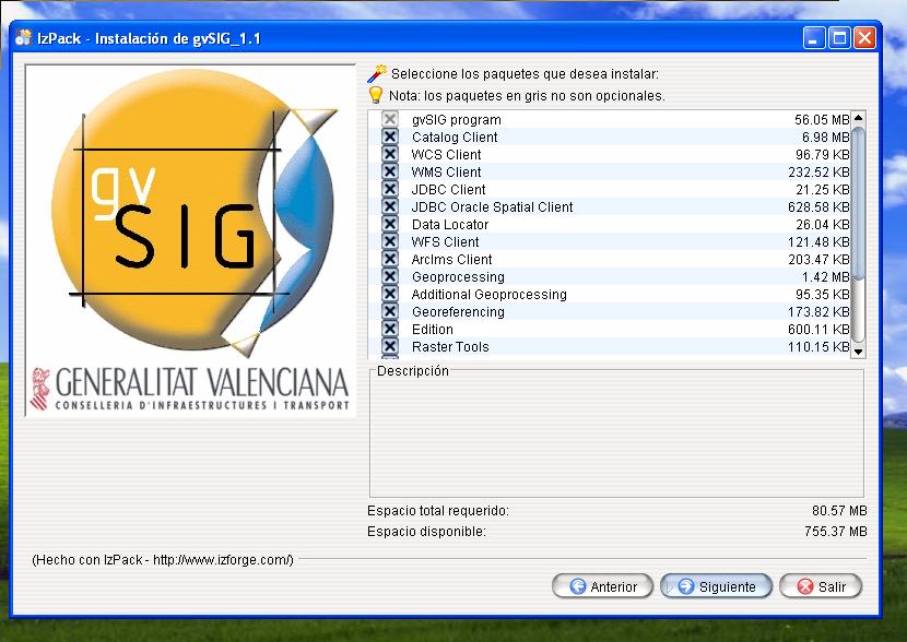
- Instalación de gvSIG
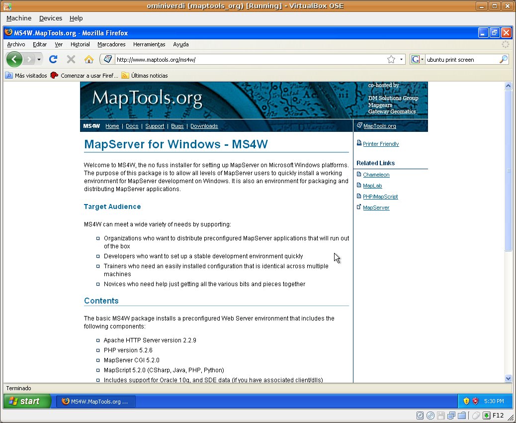
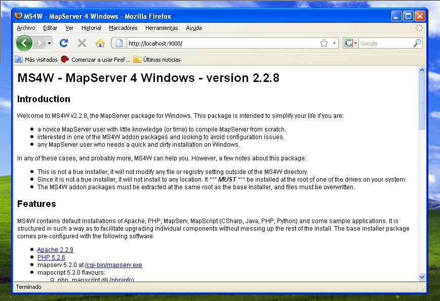
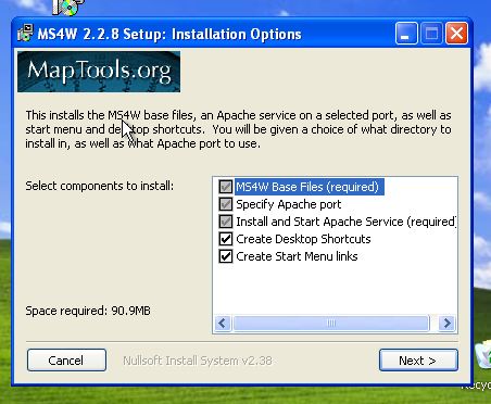
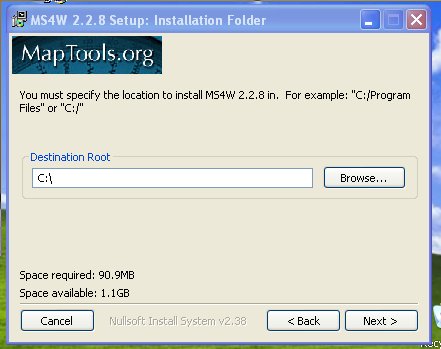
- Instalación de MS4W
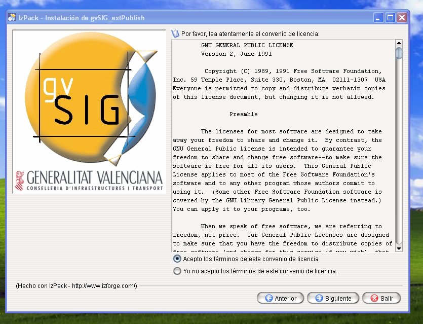
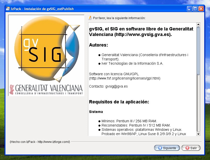
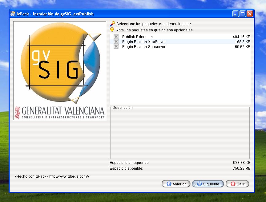
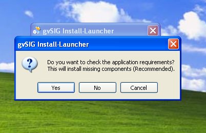
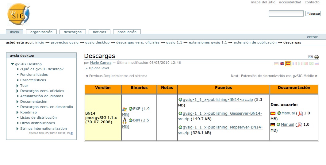
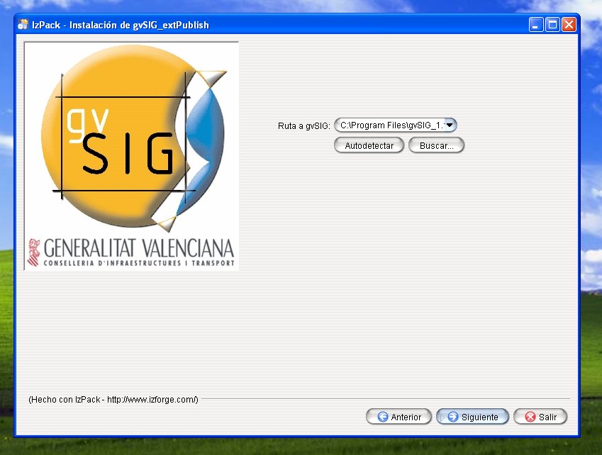
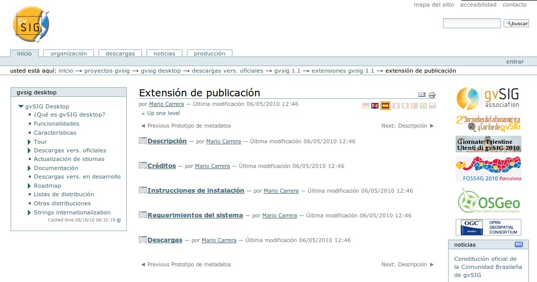
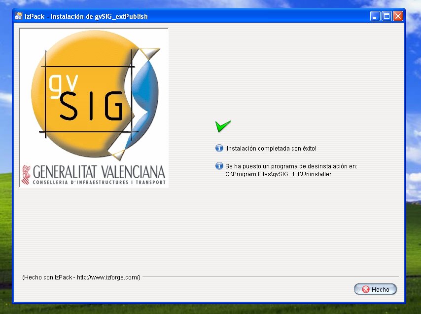
- Instalación del modulo gvSIG para la publicación Web
- Instalación y manejo de Metadatos con Geonetwork Opensource
- Instalación y manejo de servicios OWS con UMN MapServer (MS4W) y gvSIG
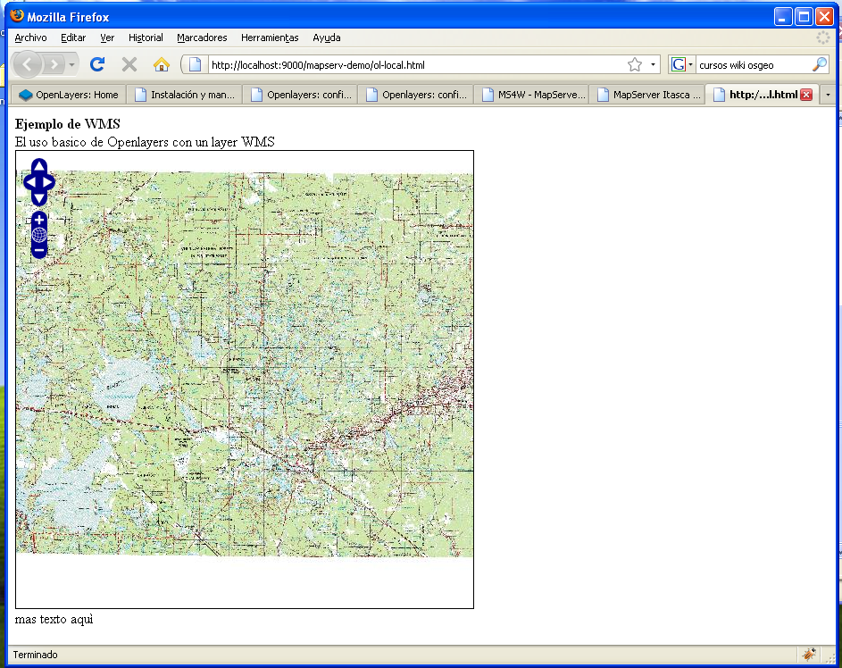
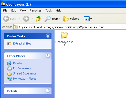
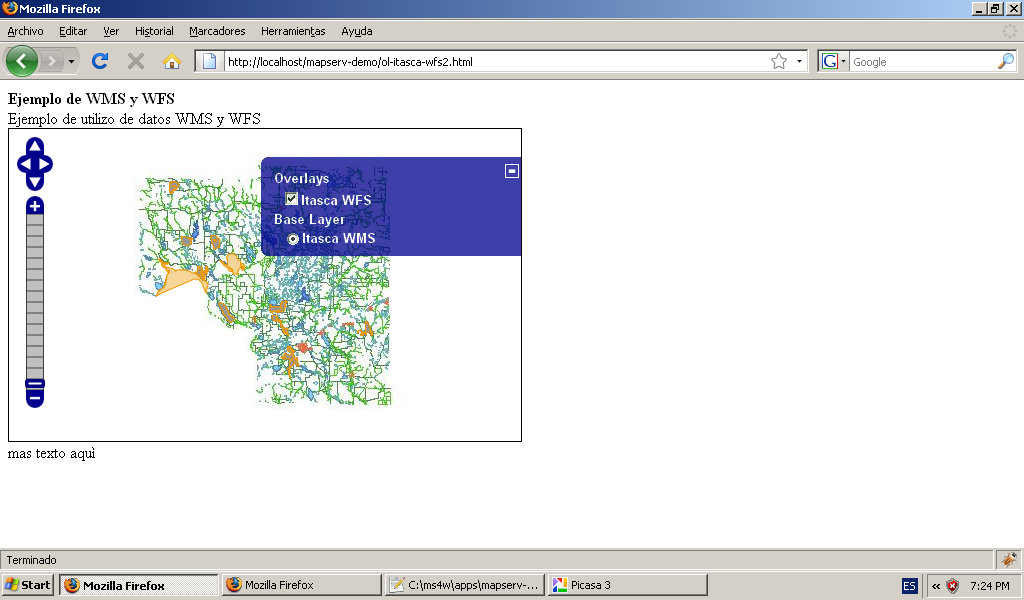
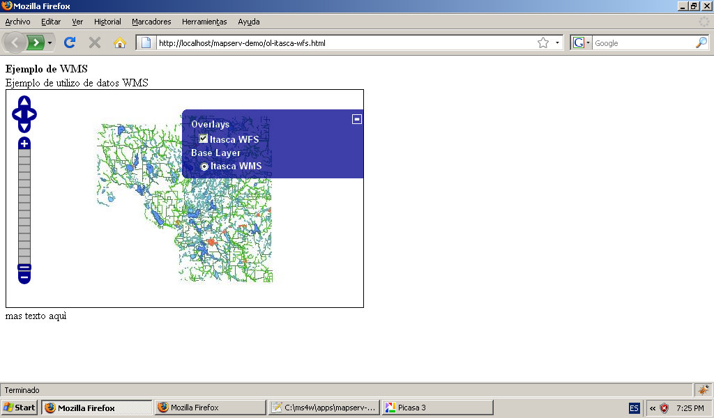
- Instalación y manejo de servicios OWS con UMN Mapserver y Openlayers
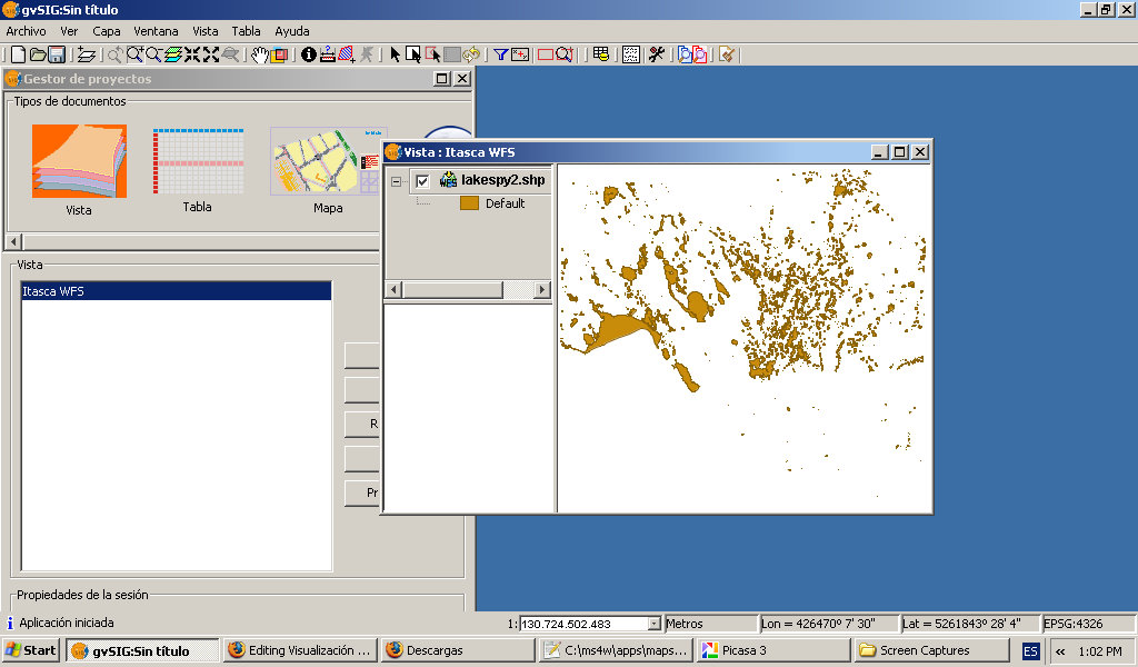
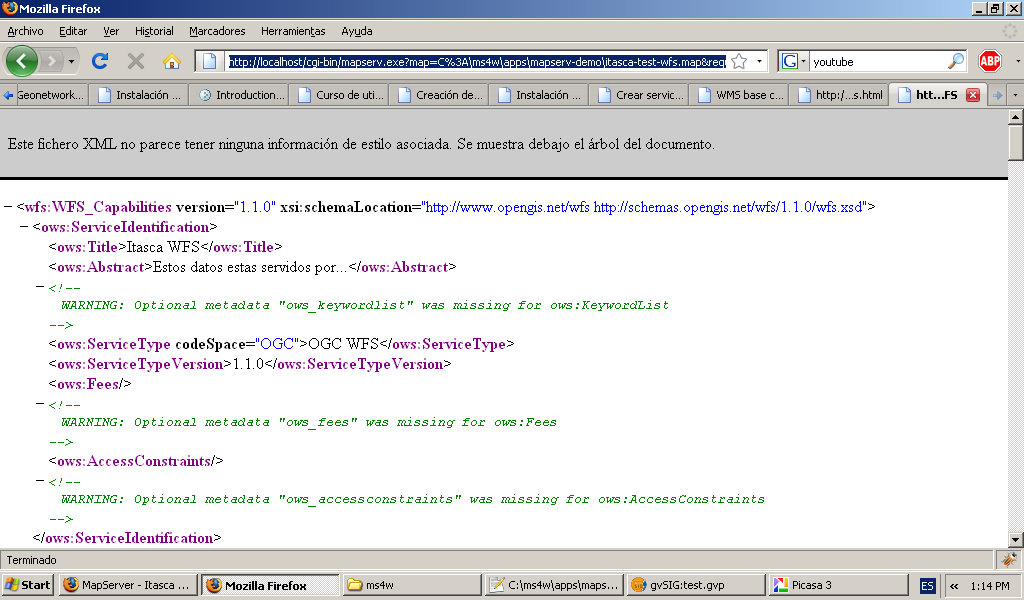
- Instalación y manejo de servicios WFS con UMN MapServer (MS4W) y gvSIG
O
Media in category "Cursos"
The following 119 files are in this category, out of 119 total.
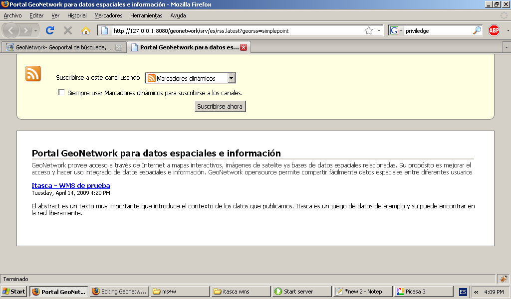
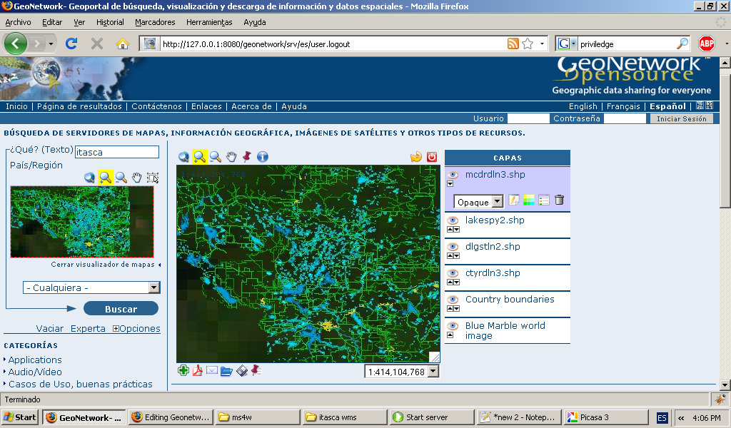
- Geogeonetwork-public-georss.jpg 1,024 × 600; 111 KB
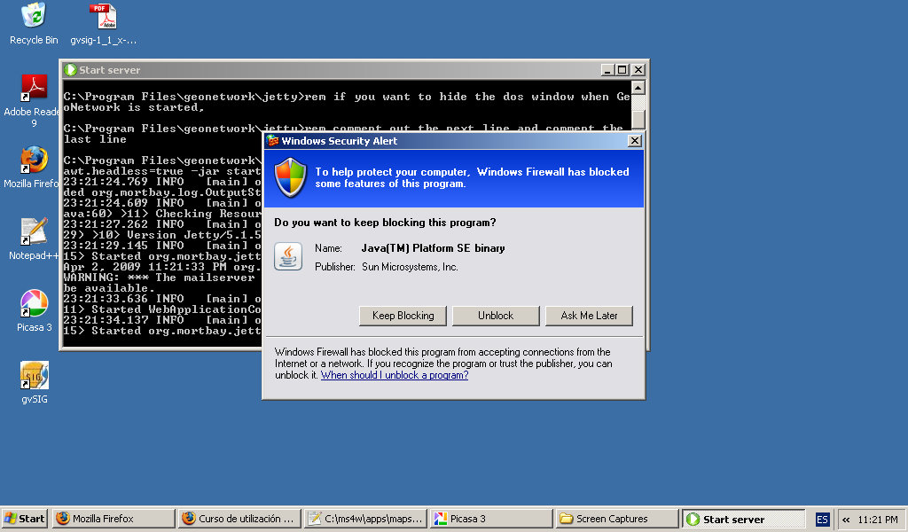
- Geoneotwork-install-firewall-unlock.jpg 1,024 × 600; 124 KB
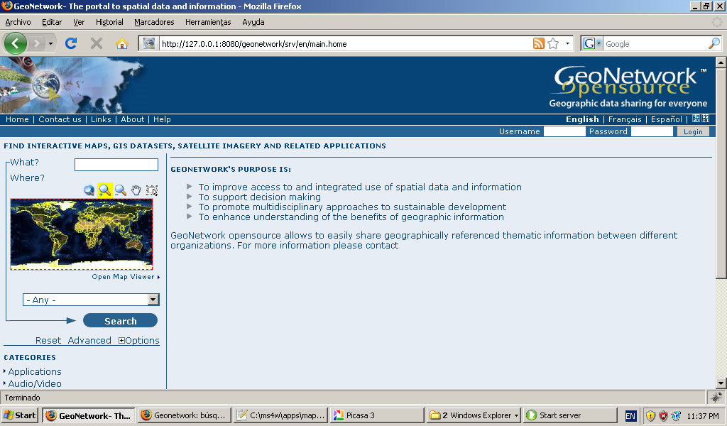
- Geonetowrk-install-firstview.jpg 1,024 × 600; 161 KB
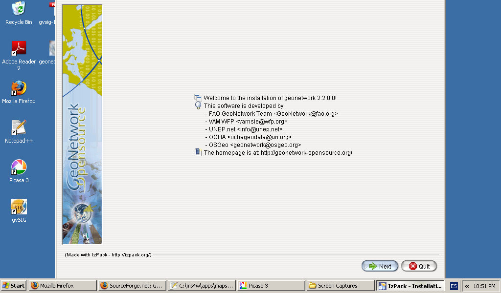
- Geonetowrok-install-first-dialague.jpg 1,024 × 600; 100 KB
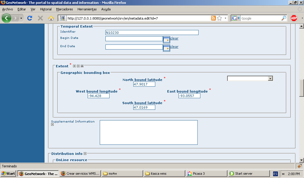
- Geonetwork-add-metadata-extent.jpg 1,024 × 600; 107 KB
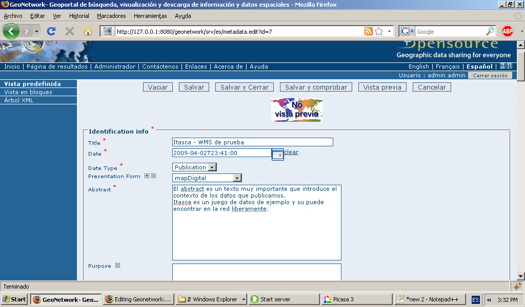
- Geonetwork-add-metadata-identification.jpg 1,024 × 600; 142 KB
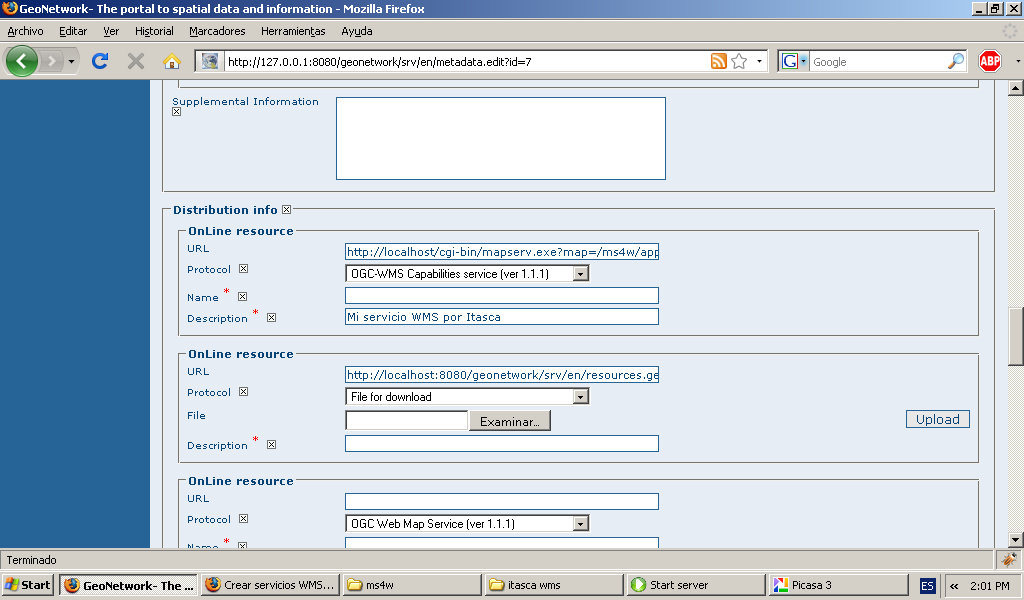
- Geonetwork-add-metadata-online-resource.jpg 1,024 × 600; 121 KB
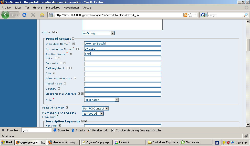
- Geonetwork-add-metadata-point-of-contact.jpg 1,024 × 600; 122 KB
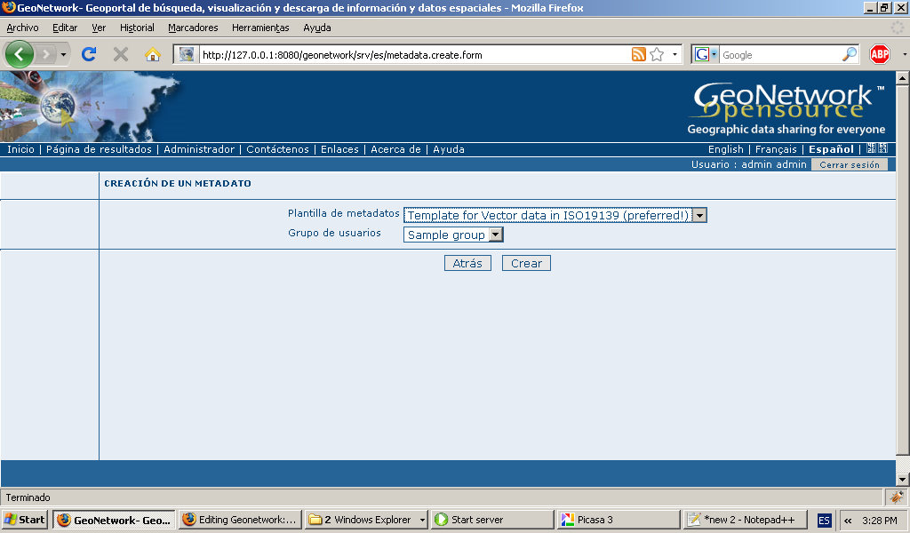
- Geonetwork-add-metadata-template.jpg 1,024 × 600; 123 KB
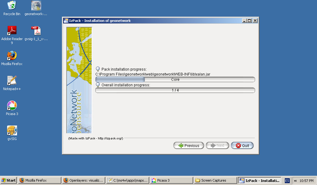
- Geonetwork-install-process.jpg 1,024 × 600; 88 KB
- Geonetwork-install-splash-screen.jpg 1,024 × 600; 56 KB
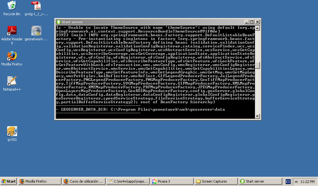
- Geonetwork-install-starting-server.jpg 1,024 × 600; 160 KB
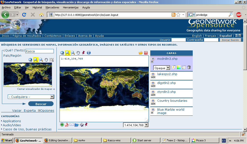
- Geonetwork-interactive-map-sample-detail.jpg 1,024 × 600; 223 KB
- Geonetwork-interactive-map-sample.jpg 1,024 × 600; 197 KB
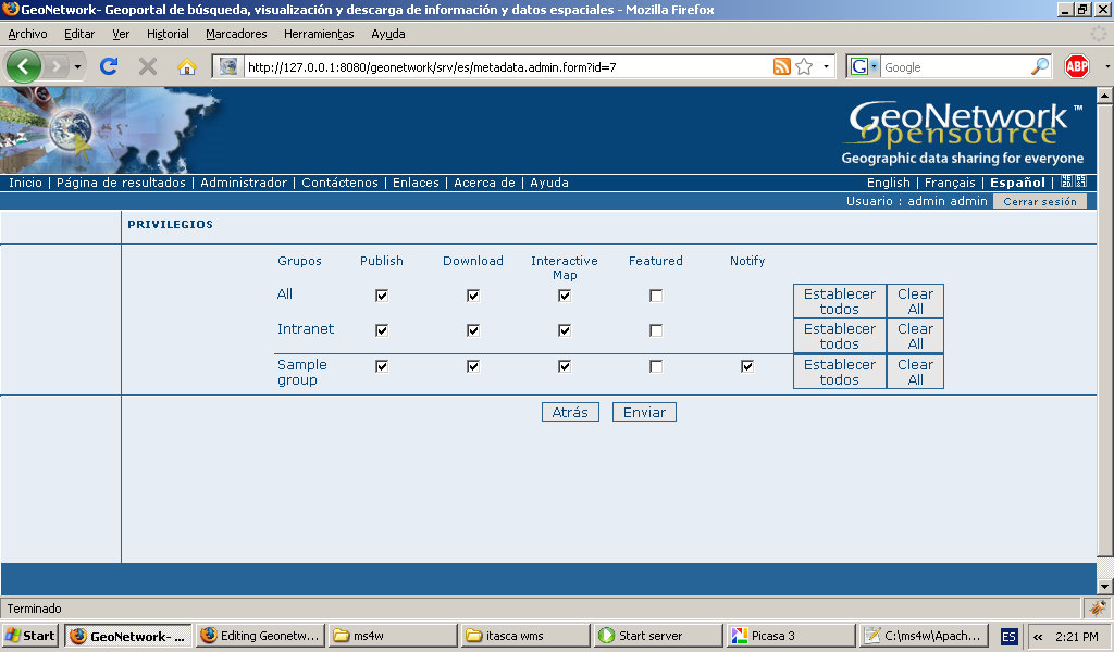
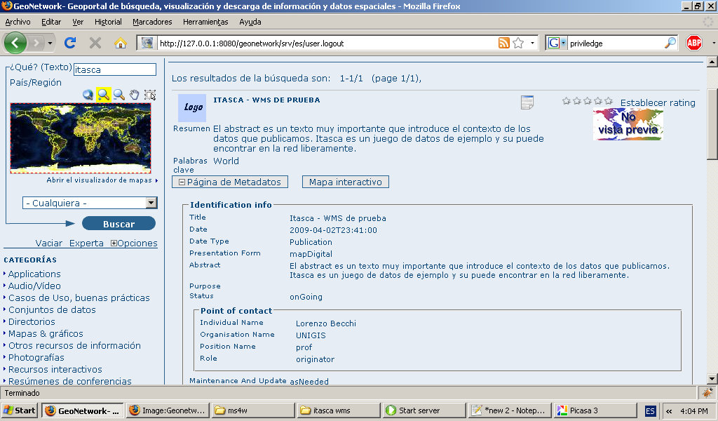
- Geonetwork-privileges.jpg 1,024 × 600; 129 KB
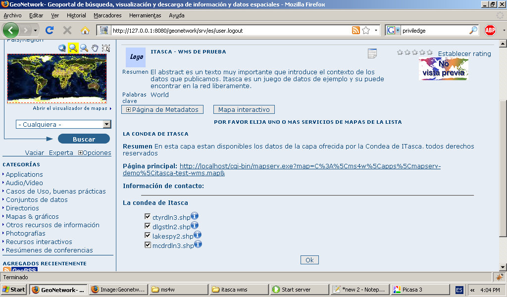
- Geonetwork-public-add-to-interactiv-map.jpg 1,024 × 600; 185 KB
- Geonetwork-public-metadata-sample.jpg 1,024 × 600; 187 KB
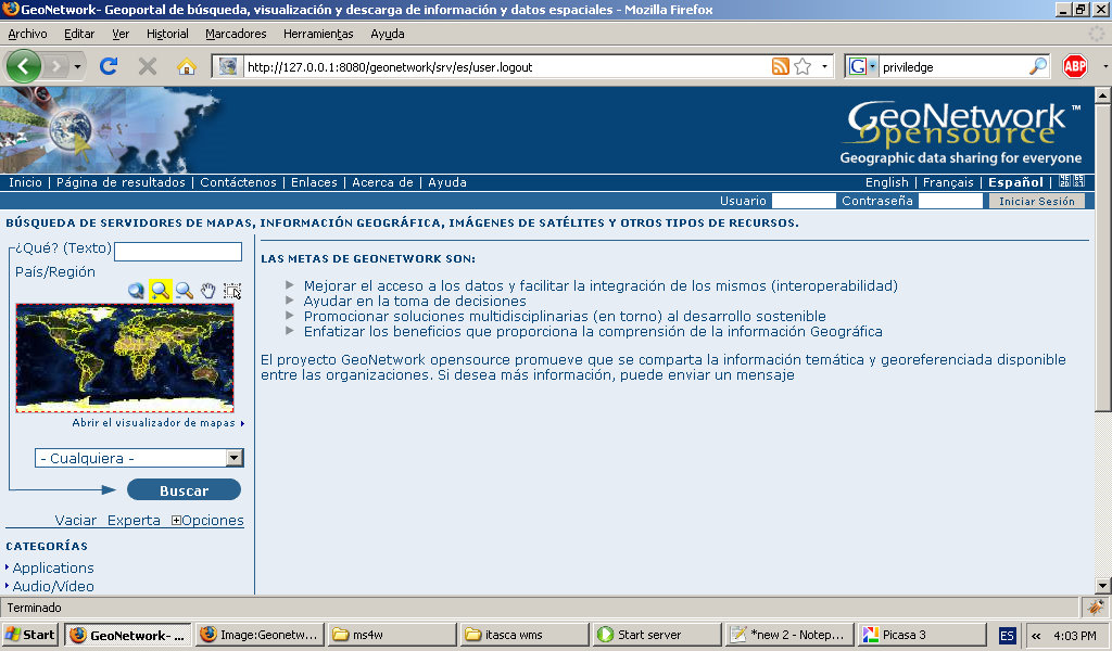
- Geonetwork-public-page.jpg 1,024 × 600; 178 KB
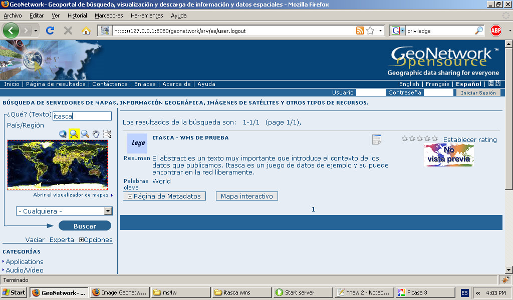
- Geonetwork-public-search.jpg 1,024 × 600; 179 KB
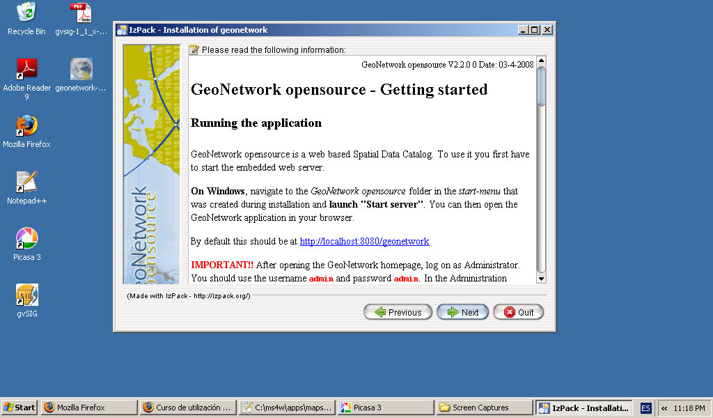
- Geonoetwork-install-getting-started.jpg 1,024 × 600; 128 KB
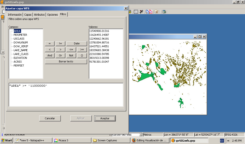
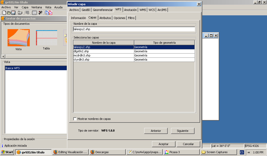
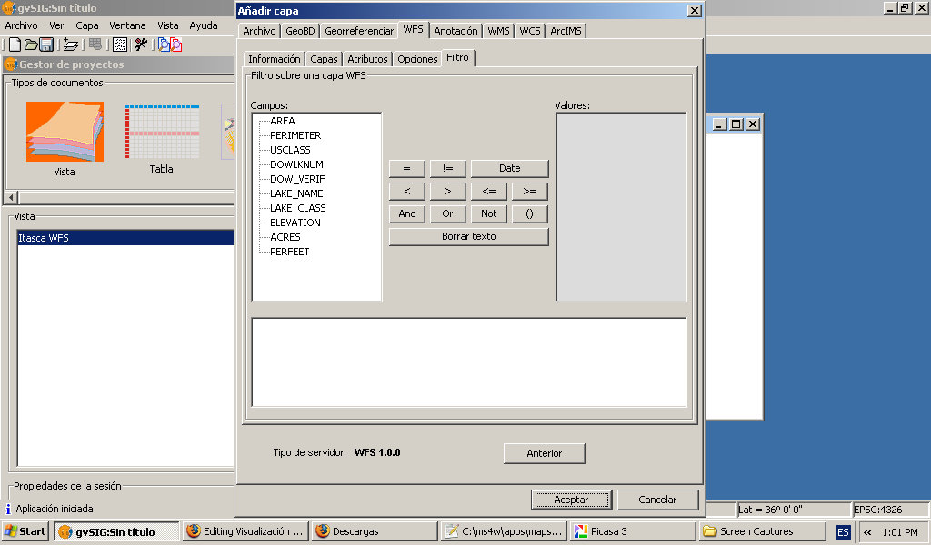
- Gvisg-wfs-setting-filter.jpg 1,024 × 600; 126 KB
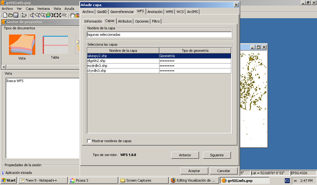
- Gvisg-wfs-setting-layer-name.jpg 1,024 × 600; 110 KB
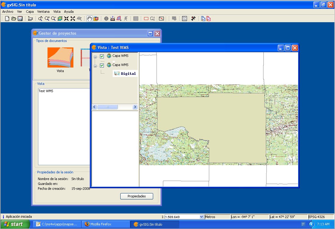
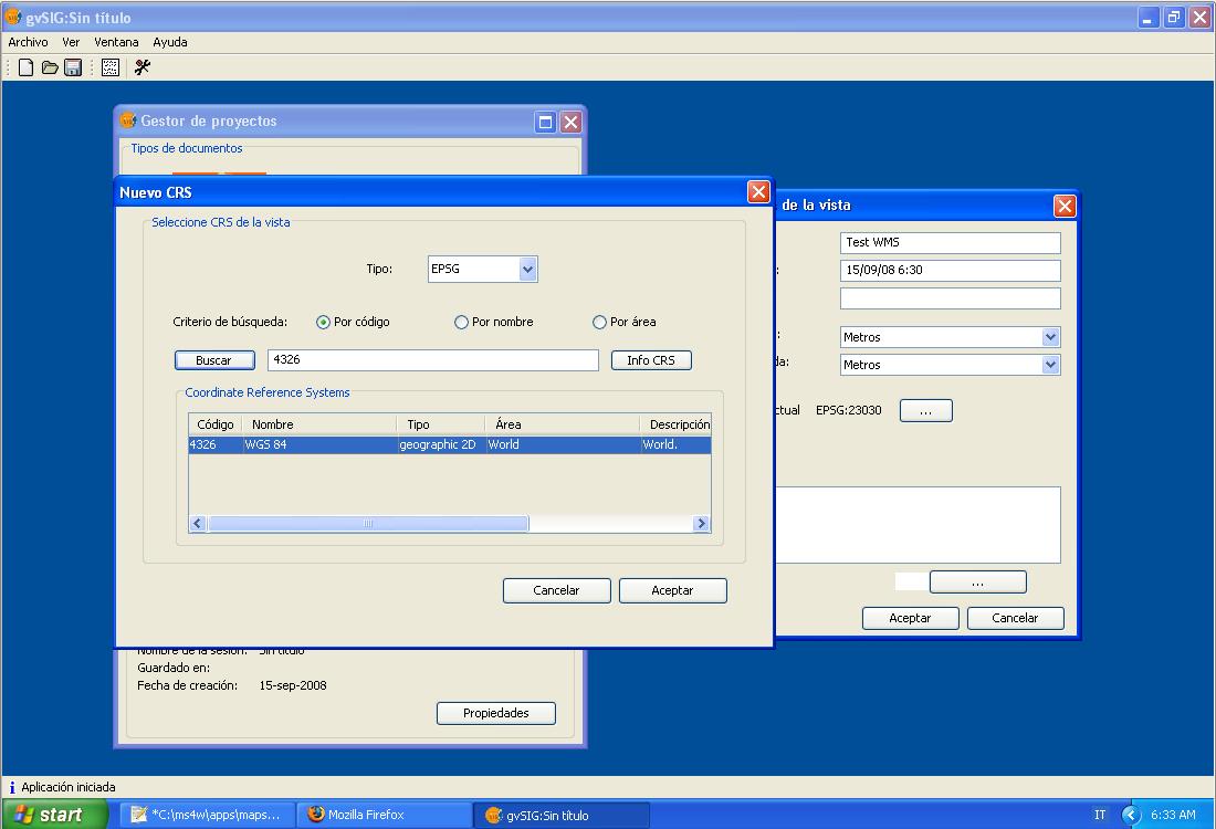
- Gvsig add layer 2 overview.jpg 1,100 × 753; 136 KB
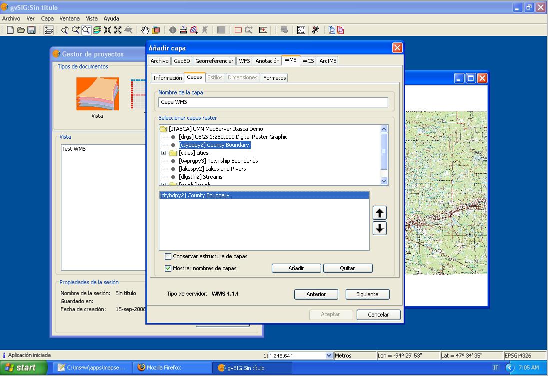
- Gvsig add layer 2.jpg 1,097 × 753; 125 KB
- Gvsig add layer panel 2.jpg 535 × 594; 54 KB
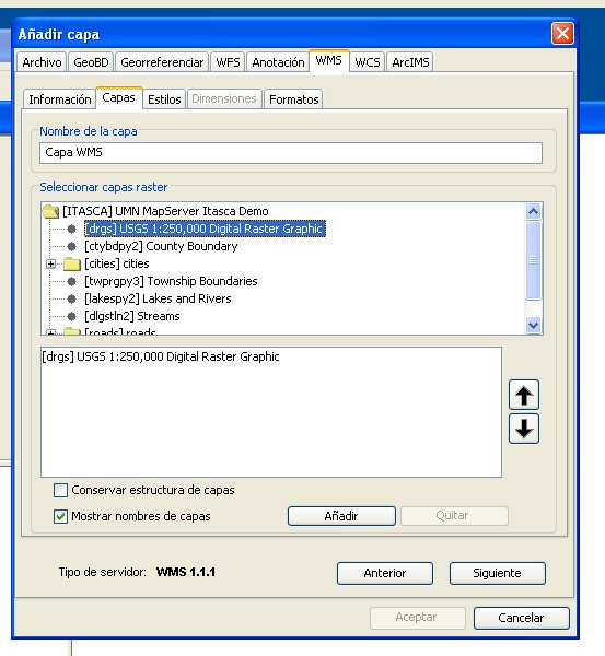
- Gvsig add layer panel 3.jpg 553 × 600; 62 KB
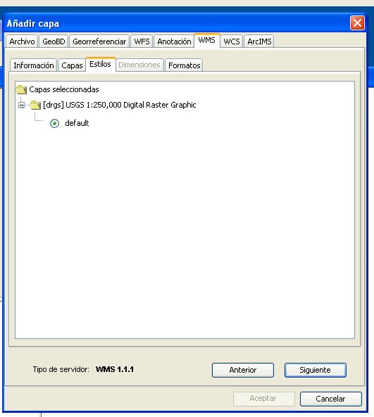
- Gvsig add layer panel 4.jpg 531 × 593; 36 KB
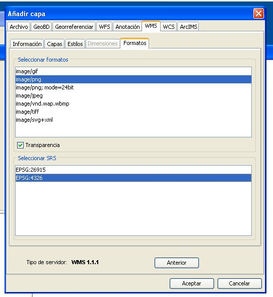
- Gvsig add layer panel 5.jpg 542 × 588; 50 KB
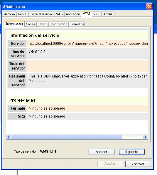
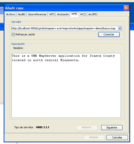
- Gvsig add layer panel.jpg 551 × 594; 44 KB
- Gvsig adding view 2.jpg 1,100 × 750; 81 KB
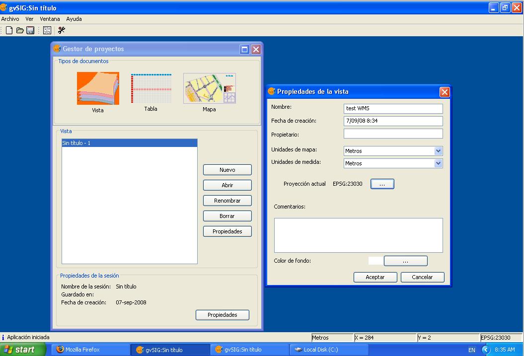
- Gvsig adding view.jpg 1,055 × 717; 79 KB
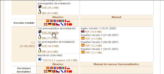
- Gvsig download link.jpg 682 × 308; 43 KB
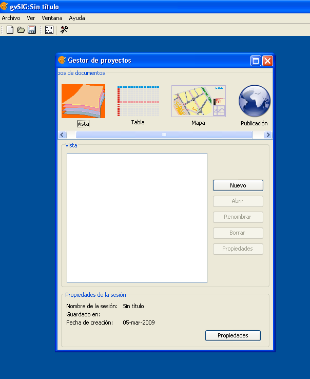
- Gvsig extension publicacion web shot1.png 604 × 738; 45 KB
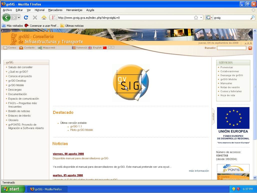
- Gvsig home page.jpg 1,028 × 773; 98 KB
- Gvsig installer 1.jpg 682 × 308; 32 KB
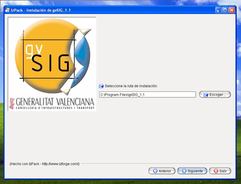
- Gvsig installer 10.jpg 827 × 633; 57 KB
- Gvsig installer 11.jpg 830 × 623; 59 KB
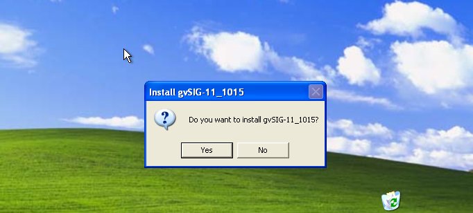
- Gvsig installer 2.jpg 682 × 308; 37 KB
- Gvsig installer 3.jpg 641 × 534; 83 KB
- Gvsig installer 4.jpg 556 × 427; 32 KB
- Gvsig installer 5.jpg 535 × 410; 32 KB
- Gvsig installer 6.jpg 367 × 264; 22 KB
- Gvsig installer 7.jpg 831 × 574; 64 KB
- Gvsig installer 8.jpg 844 × 571; 103 KB
- Gvsig installer 9.jpg 830 × 588; 81 KB
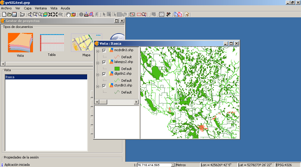
- Gvsig itasca no style.jpg 1,022 × 568; 262 KB
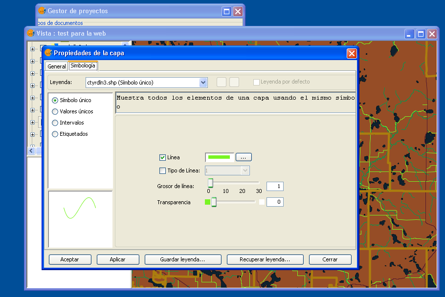
- Gvsig layer simbology.png 910 × 608; 89 KB
- Gvsig mapserver module check license agree.jpg 835 × 639; 132 KB
- Gvsig mapserver module check license.jpg 837 × 636; 104 KB
- Gvsig mapserver module check packages.jpg 864 × 657; 86 KB
- Gvsig mapserver module check requirements.jpg 402 × 259; 25 KB
- Gvsig mapserver module download page.jpg 1,063 × 538; 103 KB
- Gvsig mapserver module find gvsig.jpg 849 × 642; 72 KB
- Gvsig mapserver module home page.jpg 1,063 × 559; 114 KB
- Gvsig mapserver module install ok.jpg 854 × 636; 73 KB
- Gvsig menu layer.png 903 × 635; 186 KB
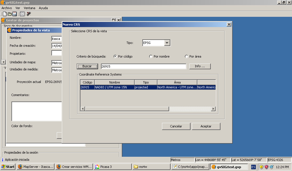
- GvSig propriedades vista.jpg 1,024 × 600; 99 KB
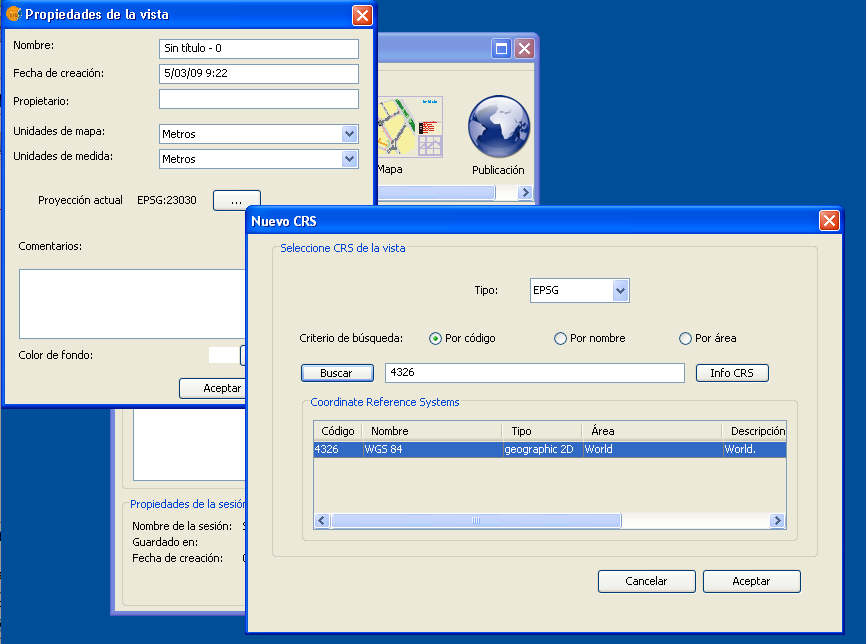
- GvSig propriedades vista.png 866 × 644; 55 KB
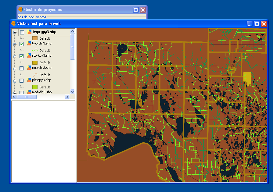
- Gvsig view for web.png 895 × 630; 177 KB
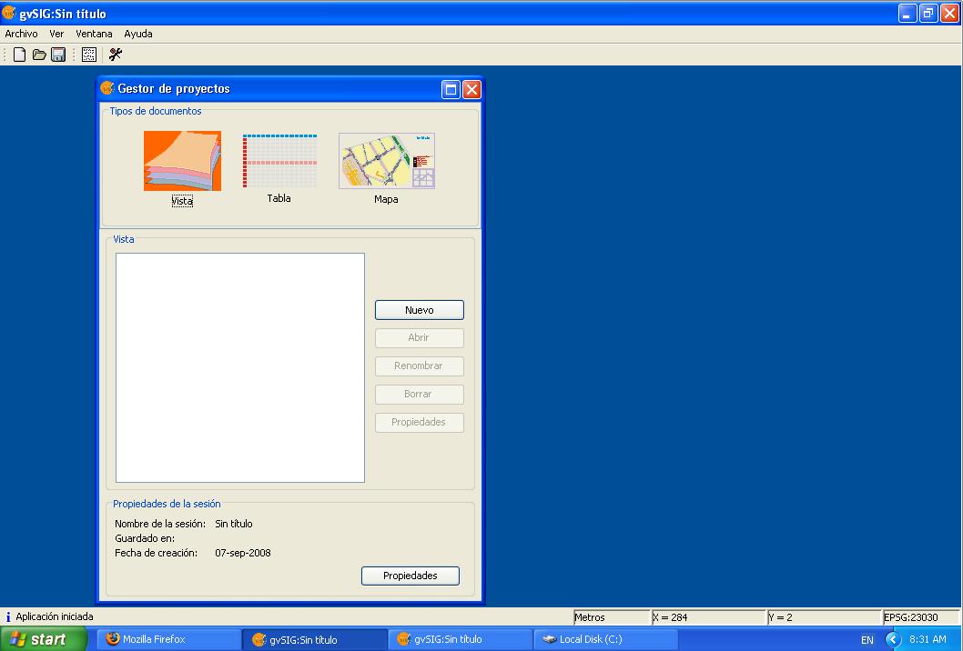
- Gvsig vista 1.jpg 1,058 × 716; 57 KB
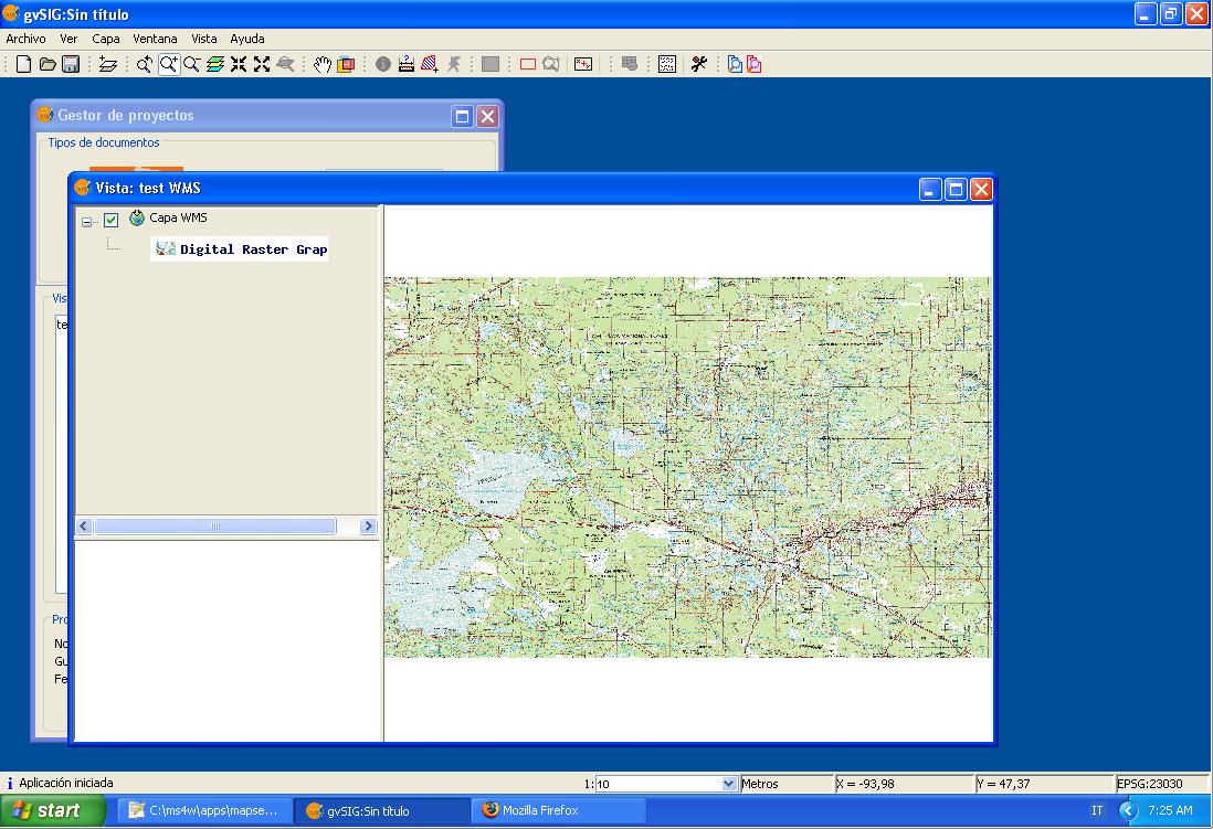
- Gvsig wms layer.jpg 1,098 × 751; 148 KB
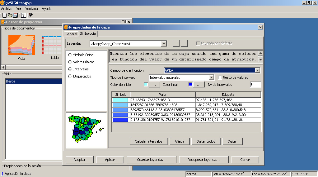
- Gvsig-itasca-symbology-intervals.jpg 1,022 × 571; 188 KB
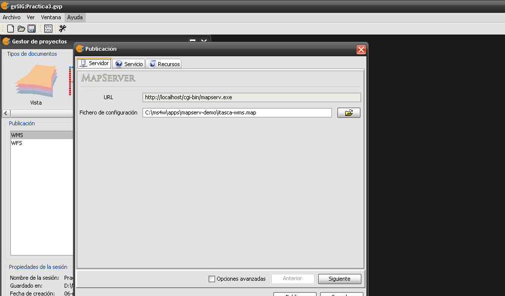
- Gvsig-pubish-mapfile.jpg 1,024 × 600; 88 KB
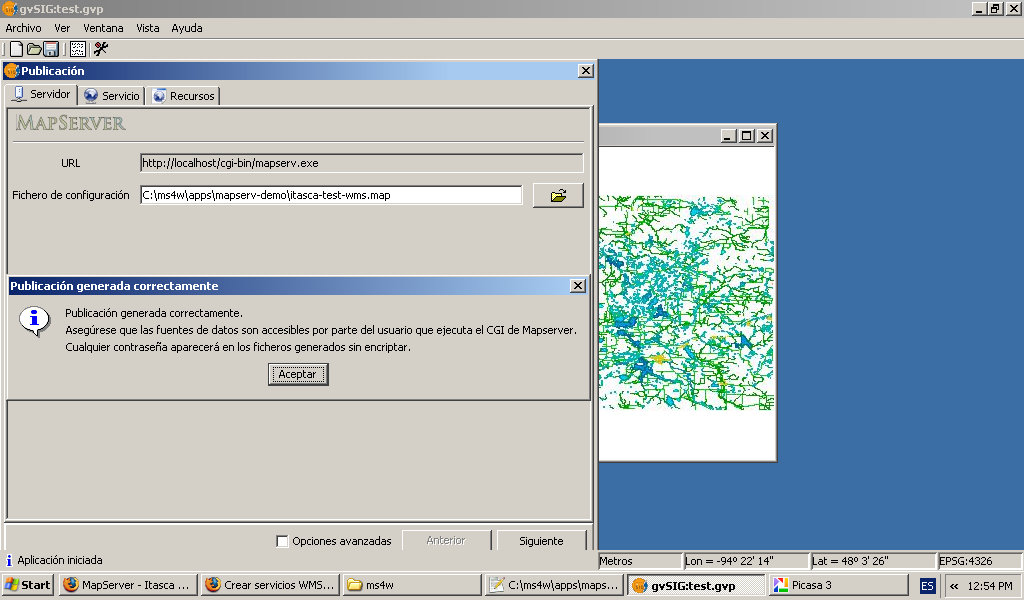
- Gvsig-publish-end.jpg 1,024 × 600; 120 KB
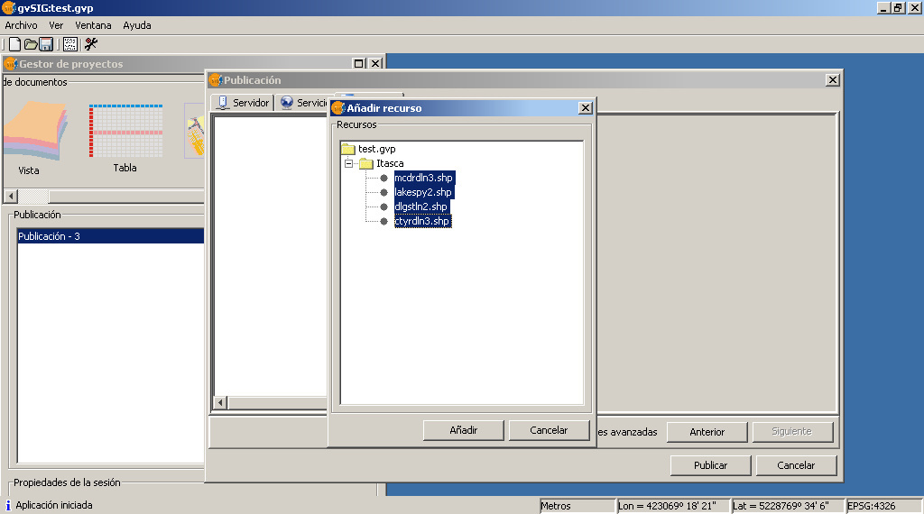
- Gvsig-publish-layers.jpg 1,024 × 570; 116 KB
- Gvsig-publish-metadata.jpg 1,024 × 600; 140 KB
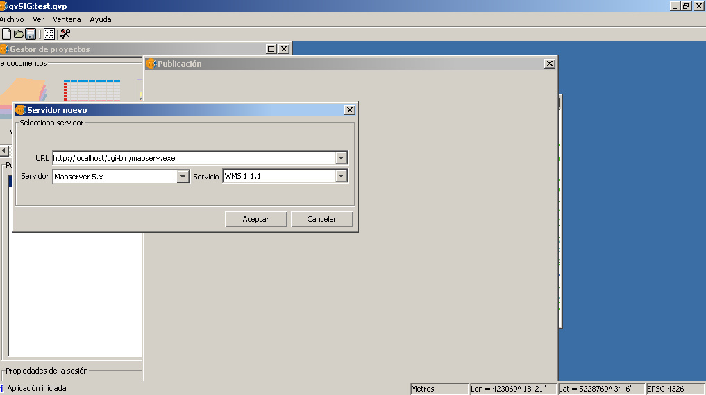
- Gvsig-publish-server.jpg 1,017 × 570; 86 KB
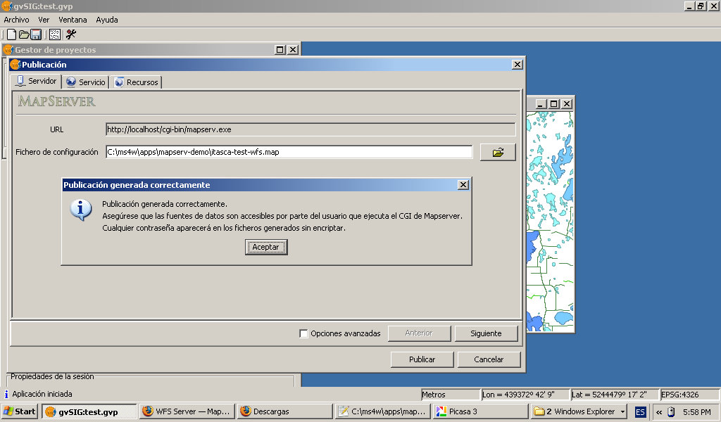
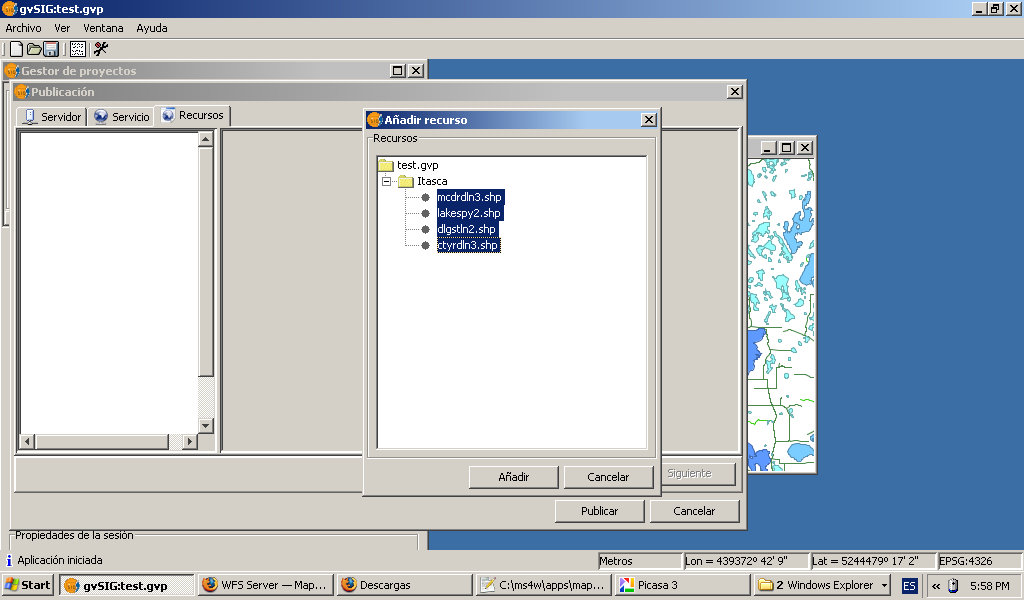
- Gvsig-publish-wfs-end.jpg 1,024 × 600; 110 KB
- Gvsig-publish-wfs-layers.jpg 1,024 × 600; 100 KB
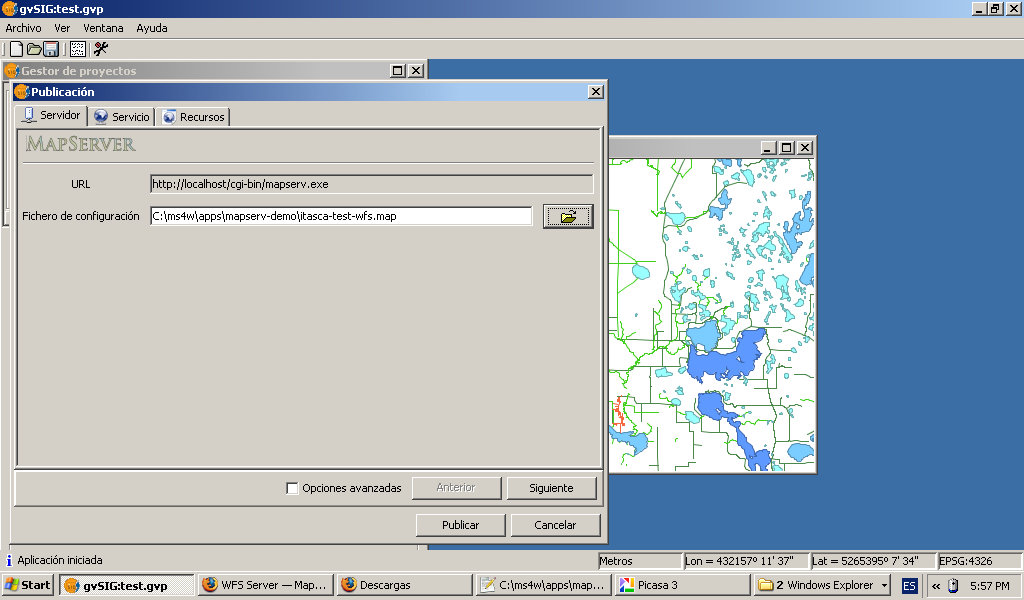
- Gvsig-publish-wfs-mapfile.jpg 1,024 × 600; 118 KB
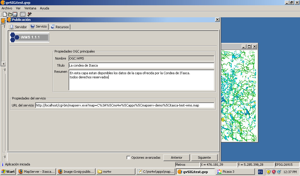
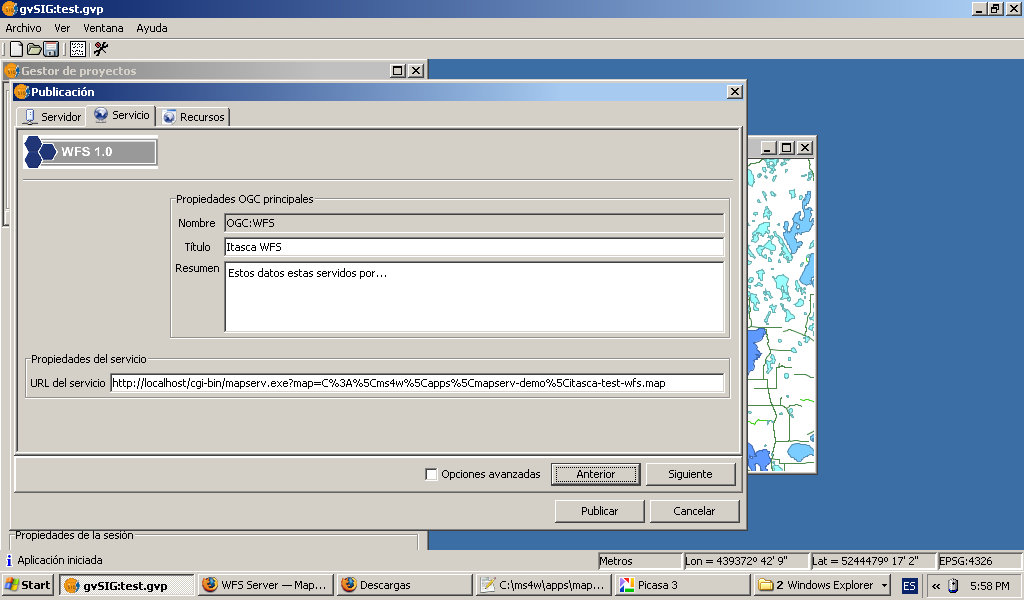
- Gvsig-publish-wfs-metadata.jpg 1,024 × 600; 110 KB
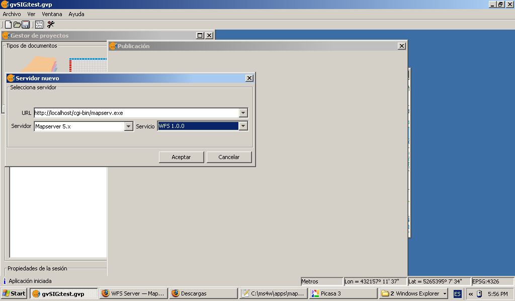
- Gvsig-publish-wfs-server.jpg 1,024 × 600; 74 KB
- Gvsig-wfs-add-layer.jpg 1,024 × 600; 101 KB
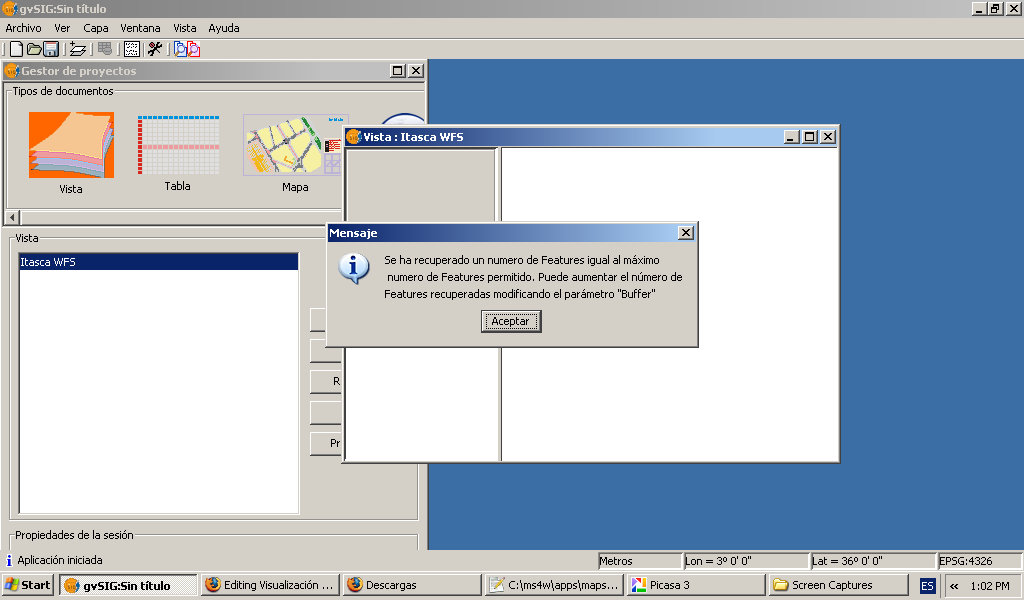
- Gvsig-wfs-alert-maxfeature.jpg 1,024 × 600; 89 KB
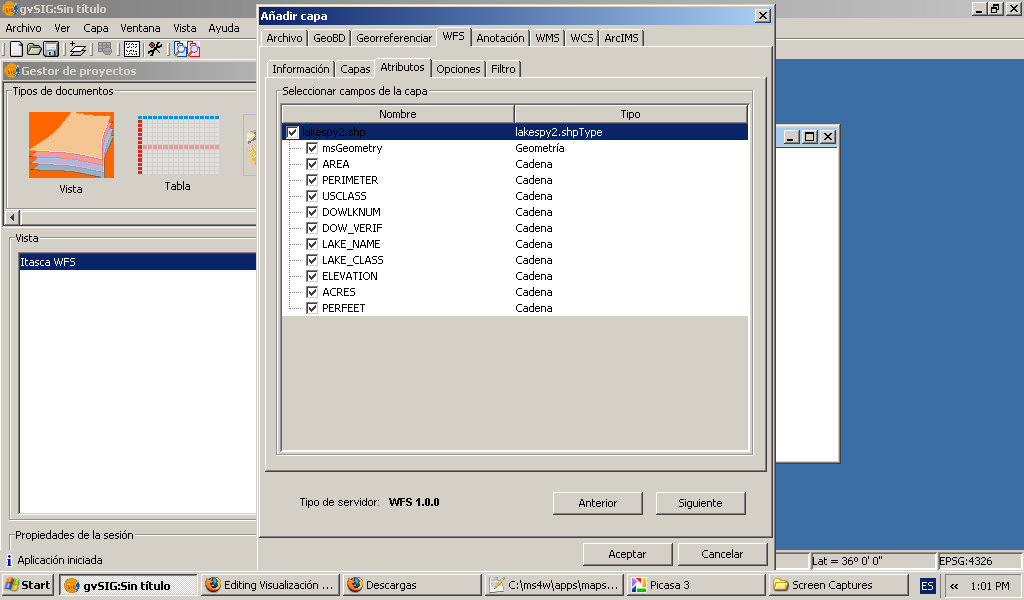
- Gvsig-wfs-choose-properties.jpg 1,024 × 600; 98 KB
- Gvsig-wfs-filter.jpg 1,024 × 600; 98 KB
- Gvsig-wfs-layer-menu.jpg 1,024 × 600; 143 KB
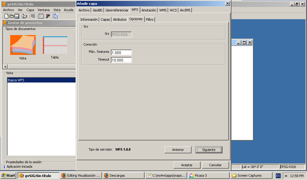
- Gvsig-wfs-maxfeatures.jpg 1,024 × 600; 89 KB
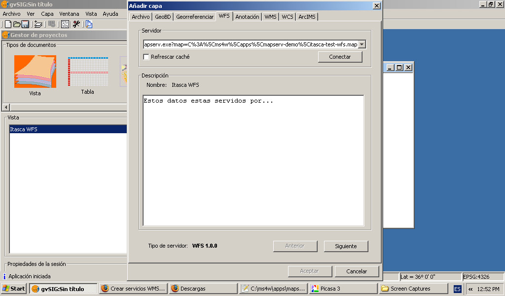
- Gvsig-wfs-server-connect.jpg 1,024 × 600; 89 KB
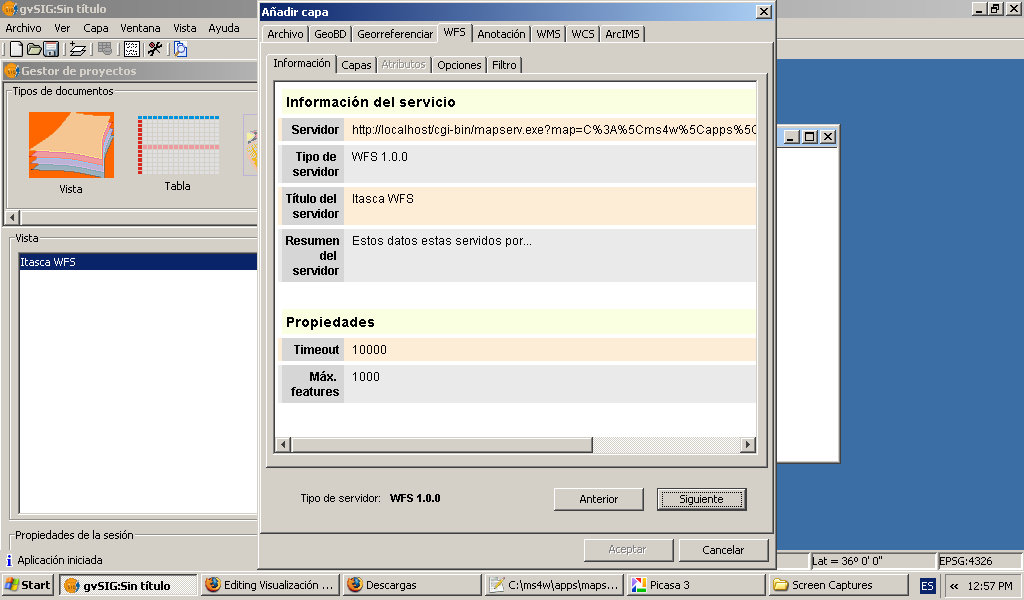
- Gvsig-wfs-server-details.jpg 1,024 × 600; 108 KB
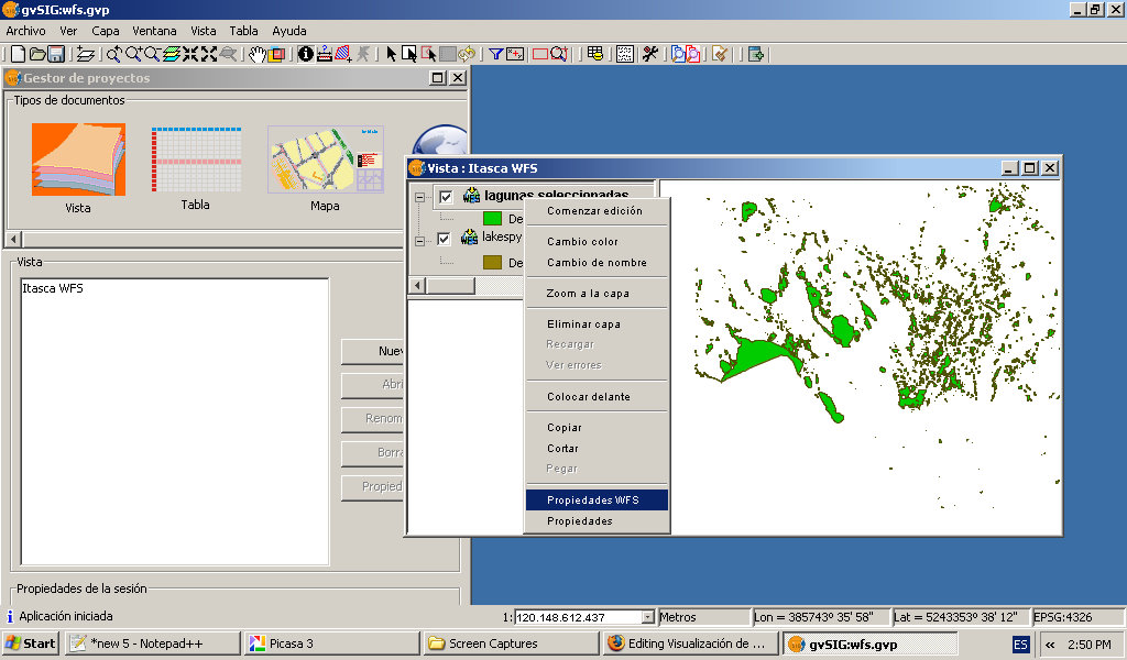
- Gvsig-wfs-show-layer.jpg 1,024 × 600; 128 KB
- Home page ms4w.jpg 1,038 × 850; 159 KB
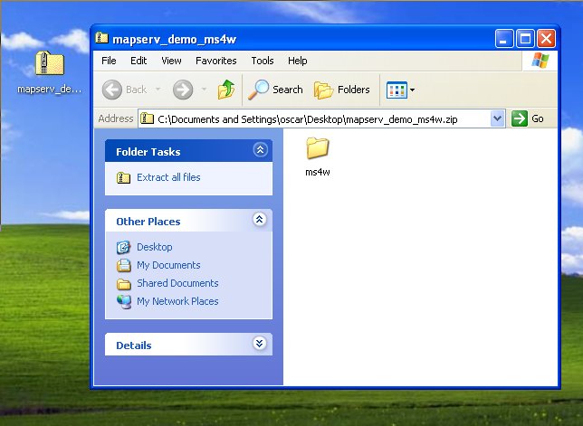
- Itasca 1.jpg 644 × 471; 49 KB
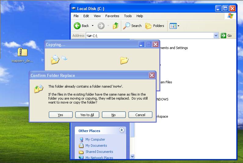
- Itasca 2.jpg 796 × 532; 56 KB
- Itasca demo link.jpg 597 × 176; 20 KB
- Mapserver-wfs-getCapabilities.jpg 1,024 × 600; 150 KB
- Ms4w base url.jpg 436 × 86; 13 KB
- Ms4w home page.jpg 869 × 595; 102 KB
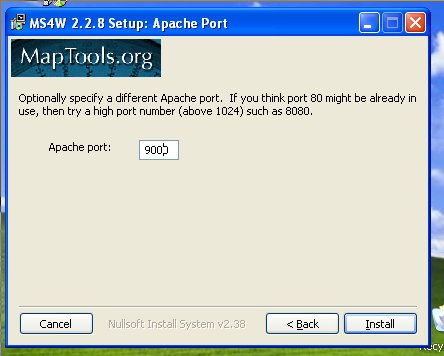
- Ms4w installer 1.jpg 452 × 372; 35 KB
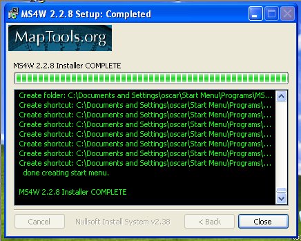
- Ms4w installer 2.jpg 441 × 349; 29 KB
- Ms4w installer 3.jpg 444 × 356; 27 KB
- Ms4w installer 4.jpg 436 × 349; 57 KB
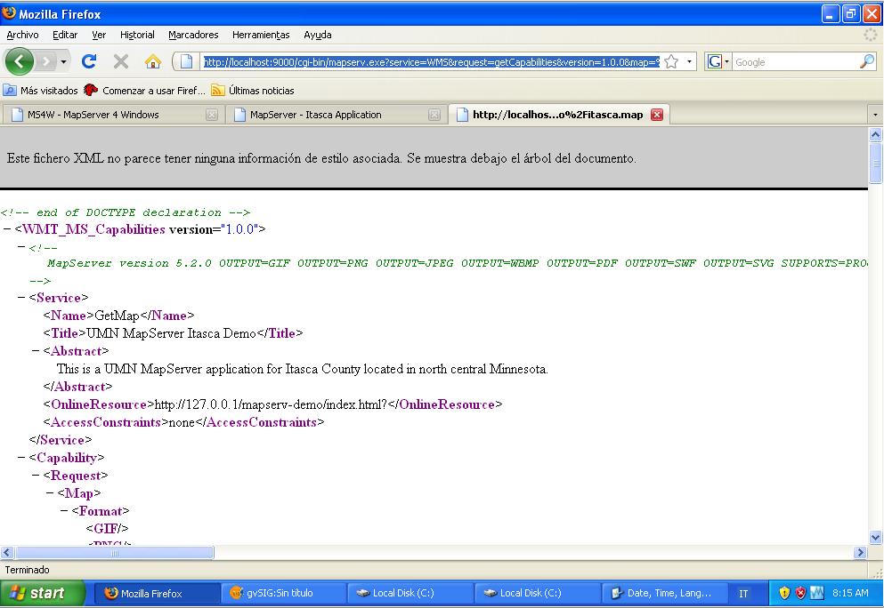
- Ms4w itasca getCapabilities.jpg 993 × 684; 92 KB
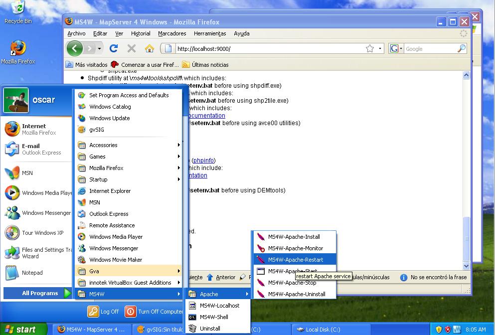
- Ms4w restart server.jpg 993 × 672; 109 KB
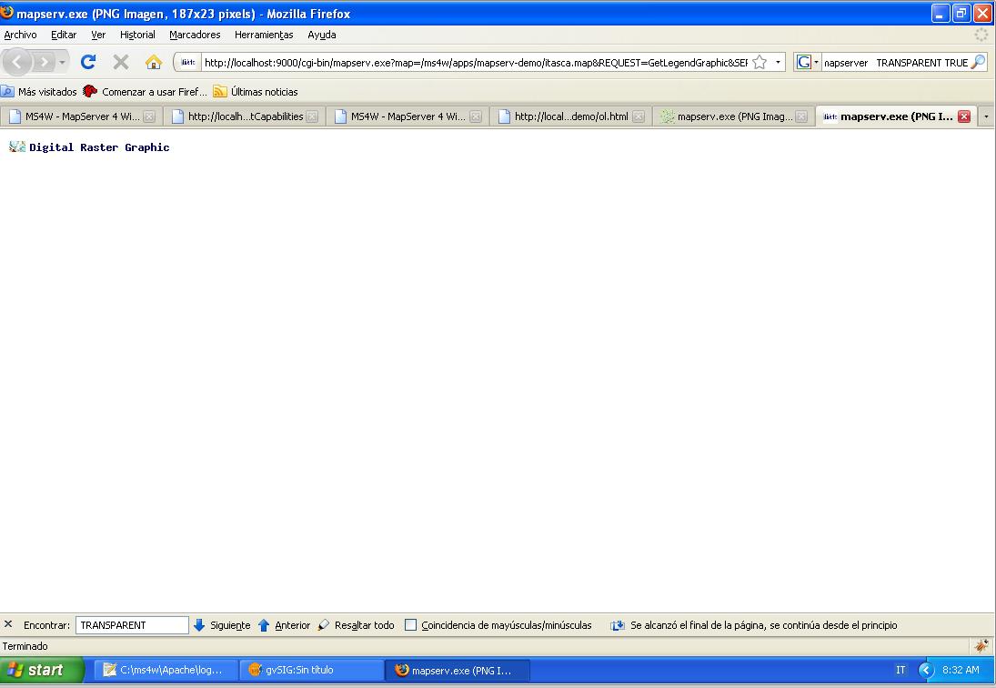
- Ms4w wms getLegendGraphics.jpg 1,095 × 756; 68 KB
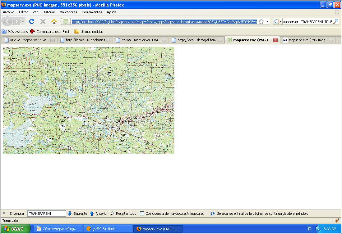
- Ms4w wms getMap.jpg 1,100 × 754; 155 KB
- Ms4w.exe link.jpg 550 × 188; 17 KB
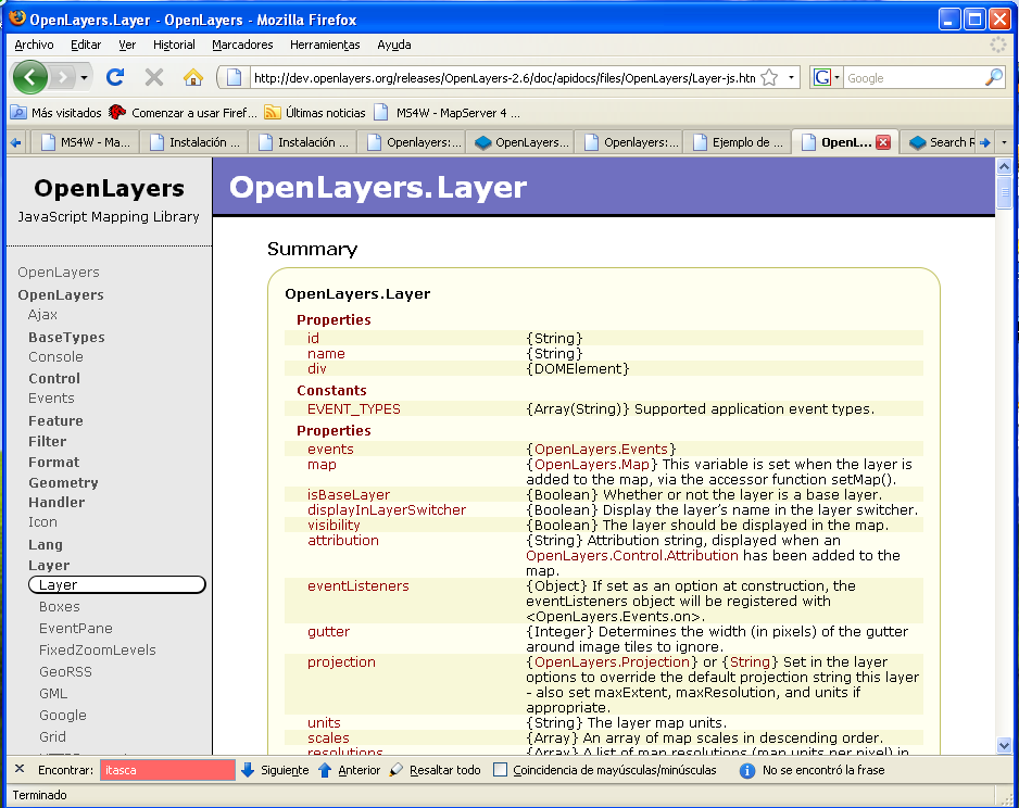
- Openlayers API web.png 938 × 744; 93 KB
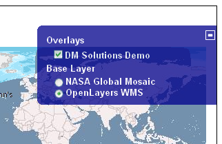
- Openlayers control layerswitcher.png 322 × 209; 63 KB
- Openlayers control MousePosition.png 221 × 77; 9 KB
- Openlayers control MouseToolbar.png 58 × 79; 7 KB
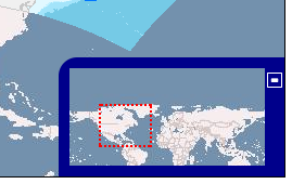
- Openlayers control OverviewMap.png 269 × 170; 39 KB
- Openlayers control pan.png 82 × 75; 8 KB
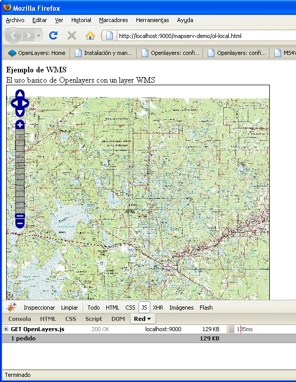
- Openlayers Control PanZoomBar firebug.png 577 × 744; 566 KB
- Openlayers control Permalink.png 203 × 173; 7 KB
- Openlayers control ScaleLine.png 134 × 59; 6 KB
- Openlayers control zoom.png 79 × 114; 13 KB
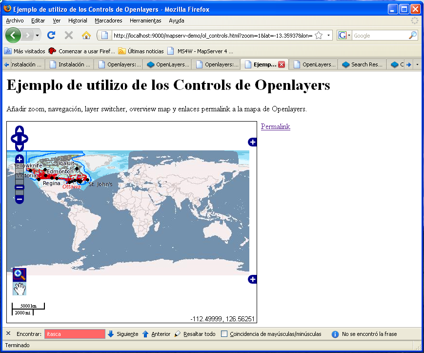
- Openlayers controls overview.png 869 × 723; 210 KB
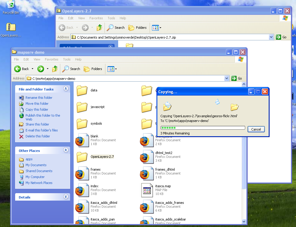
- Openlayers copy on working dir.png 997 × 765; 245 KB
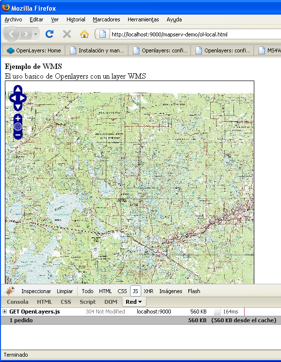
- Openlayers firebug showing js weigth.png 579 × 746; 566 KB
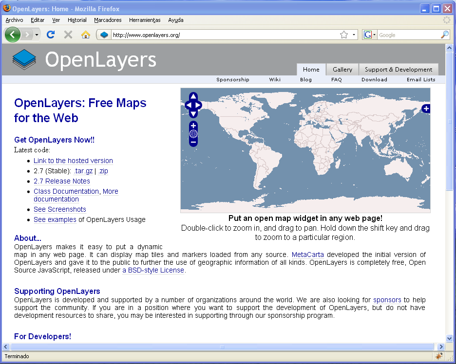
- Openlayers home page.png 936 × 748; 104 KB
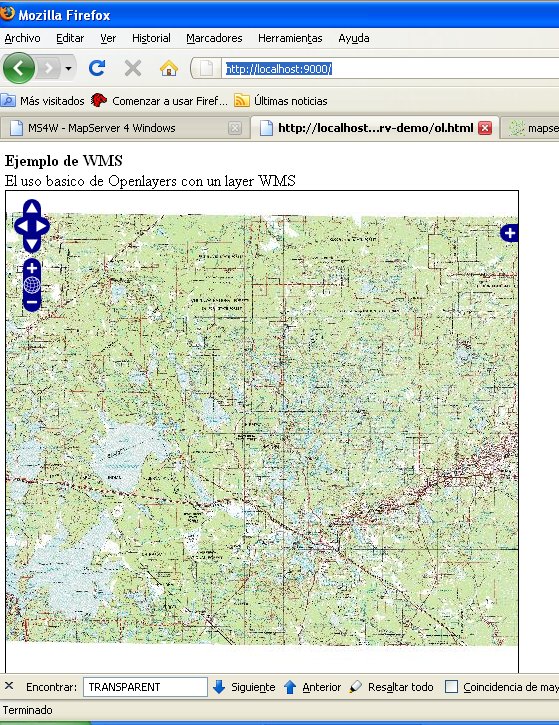
- Openlayers itasca base map.jpg 559 × 725; 163 KB
- Openlayers map with local library.png 943 × 748; 653 KB
- Openlayers zip file.png 492 × 383; 32 KB
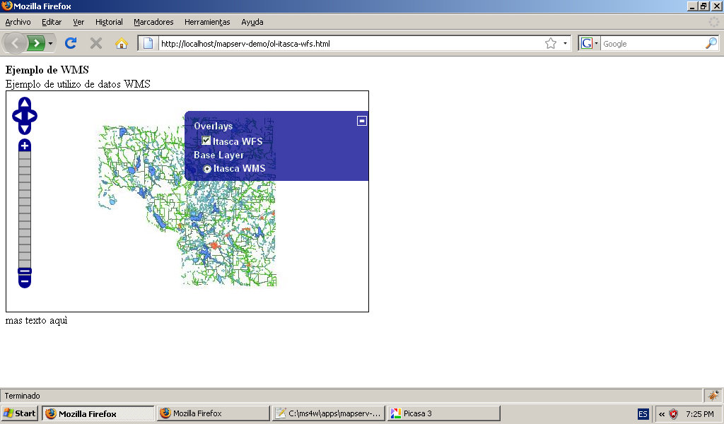
- Openlayers-itasca-wfs+filter.jpg 1,024 × 600; 96 KB
- Openlayers-itasca-wfs-maxfeatures.jpg 1,024 × 600; 93 KB
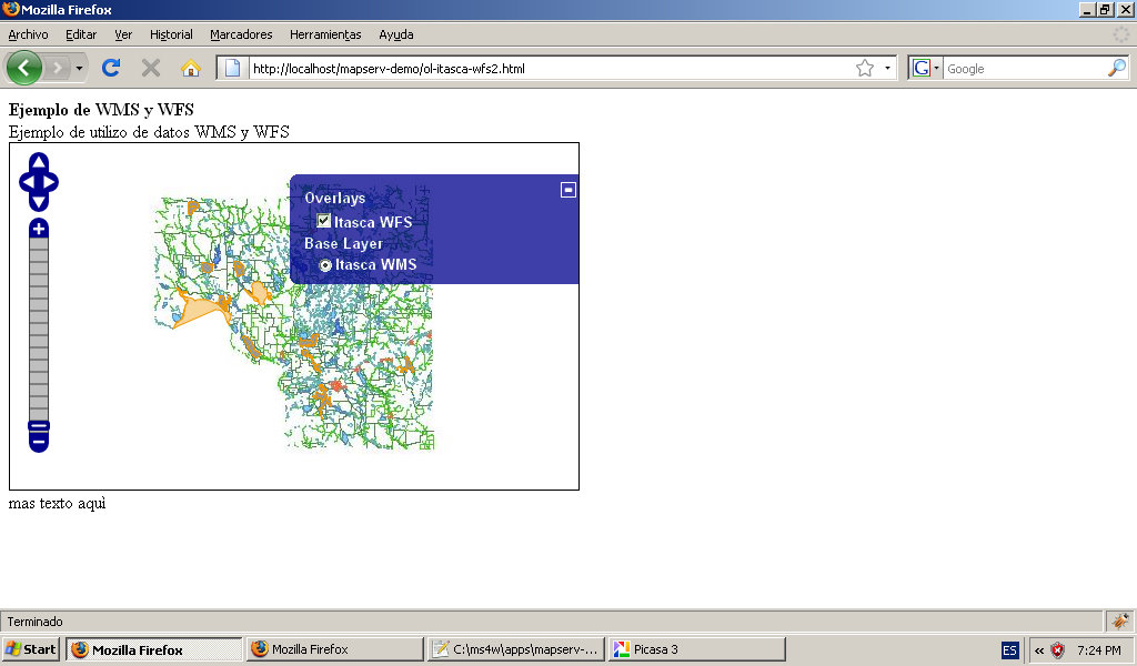
- Openlayers-itasca-wms+wfs.jpg 1,024 × 600; 96 KB
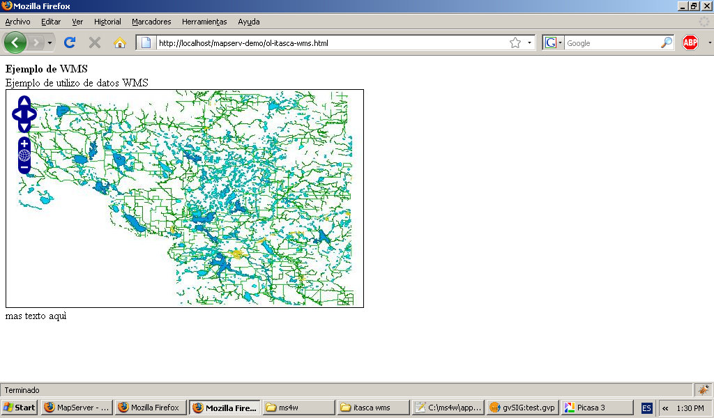
- Openlayers-itasca-wms.jpg 1,024 × 600; 93 KB
- Openlayers-show-ows-from-gvsig-mapserver.jpg 1,024 × 600; 149 KB
