Difference between revisions of "LandcoverDB CS Detail"
Jump to navigation
Jump to search
m (NLCD header) |
(Start adding NLCD classes) |
||
| Line 309: | Line 309: | ||
*GlobCover: Water bodies | *GlobCover: Water bodies | ||
*CORINE: Water bodies | *CORINE: Water bodies | ||
| + | *NLCD: Open Water | ||
*USGS: Water Bodies | *USGS: Water Bodies | ||
*NOAA: Lakes | *NOAA: Lakes | ||
| Line 323: | Line 324: | ||
| 210 | | 210 | ||
| 512 | | 512 | ||
| − | | | + | | 11 |
| 16/500 | | 16/500 | ||
| 52 | | 52 | ||
| Line 596: | Line 597: | ||
*GlobCover: Permanent Snow and Ice | *GlobCover: Permanent Snow and Ice | ||
*CORINE: Glaciers and perpetual snow | *CORINE: Glaciers and perpetual snow | ||
| + | *NLCD: Perennial Ice/Snow | ||
*USGS: Snow or Ice | *USGS: Snow or Ice | ||
*NOAA: Glaciers | *NOAA: Glaciers | ||
| Line 610: | Line 612: | ||
| 220 | | 220 | ||
| 335 | | 335 | ||
| − | | | + | | 12 |
| 24/900 | | 24/900 | ||
| 92 | | 92 | ||
| Line 665: | Line 667: | ||
*GlobCover: Sparse (<15%) vegetation | *GlobCover: Sparse (<15%) vegetation | ||
*CORINE: Sparsely vegetated areas | *CORINE: Sparsely vegetated areas | ||
| + | *NLCD: Barren Land (Rock/Sand/Clay) | ||
*USGS: Barren or Sparsely Vegetated | *USGS: Barren or Sparsely Vegetated | ||
*NOAA: Mixed Barren Land | *NOAA: Mixed Barren Land | ||
| Line 679: | Line 682: | ||
| 150 | | 150 | ||
| 333 | | 333 | ||
| − | | | + | | 31 |
| 19/770 | | 19/770 | ||
| 77 | | 77 | ||
| Line 735: | Line 738: | ||
*GlobCover: Closed to open (>15%) grassland | *GlobCover: Closed to open (>15%) grassland | ||
*CORINE: Natural grasslands | *CORINE: Natural grasslands | ||
| + | *NLCD: Grassland/Herbaceous | ||
*USGS: Grassland | *USGS: Grassland | ||
*GORINE German: Natürliches Grasland | *GORINE German: Natürliches Grasland | ||
| Line 748: | Line 752: | ||
| 140 | | 140 | ||
| 321 | | 321 | ||
| − | | | + | | 71 |
| 7/311 | | 7/311 | ||
| <br> | | <br> | ||
| Line 1,062: | Line 1,066: | ||
| | | | ||
*VMap0: Tundra | *VMap0: Tundra | ||
| + | *NLCD: Sedge/Herbaceous | ||
*USGS: Herbaceous Tundra | *USGS: Herbaceous Tundra | ||
*NOAA: Herbaceous Tundra | *NOAA: Herbaceous Tundra | ||
| Line 1,071: | Line 1,076: | ||
| <br> | | <br> | ||
| <br> | | <br> | ||
| − | | | + | | 72 |
| 20/820 | | 20/820 | ||
| 82 | | 82 | ||
| Line 1,121: | Line 1,126: | ||
*GlobCover: Closed to open (>15%) shrubland (<5m) | *GlobCover: Closed to open (>15%) shrubland (<5m) | ||
*CORINE: Transitional woodland shrub | *CORINE: Transitional woodland shrub | ||
| + | *NLCD: Shrub/Scrub | ||
*USGS: Shrubland | *USGS: Shrubland | ||
*NOAA: Shrub and Brush Rangeland | *NOAA: Shrub and Brush Rangeland | ||
| Line 1,135: | Line 1,141: | ||
| 130 | | 130 | ||
| 324 | | 324 | ||
| − | | | + | | 52 |
| 8/321 | | 8/321 | ||
| 32 | | 32 | ||
| Line 1,160: | Line 1,166: | ||
*GlobCover: Closed (>40%) broadleaved deciduous forest (>5m) | *GlobCover: Closed (>40%) broadleaved deciduous forest (>5m) | ||
*CORINE: Broad-leaved forest | *CORINE: Broad-leaved forest | ||
| + | *NLCD: Deciduous Forest | ||
*USGS: Deciduous Broadleaf Forest | *USGS: Deciduous Broadleaf Forest | ||
*NOAA: Deciduous Forest Land | *NOAA: Deciduous Forest Land | ||
| Line 1,174: | Line 1,181: | ||
| 50 | | 50 | ||
| 311 | | 311 | ||
| − | | | + | | 41 |
| 11/411 | | 11/411 | ||
| 41 | | 41 | ||
| Line 1,216: | Line 1,223: | ||
*GlobCover: Closed (>40%) needle-leaved evergreen forest (>5m) | *GlobCover: Closed (>40%) needle-leaved evergreen forest (>5m) | ||
*CORINE: Coniferous forest | *CORINE: Coniferous forest | ||
| + | *NLCD: Evergreen Forest | ||
*USGS: Evergreen Needleleaf Forest | *USGS: Evergreen Needleleaf Forest | ||
*NOAA: Evergreen Forest Land | *NOAA: Evergreen Forest Land | ||
| Line 1,230: | Line 1,238: | ||
| 70 | | 70 | ||
| 312 | | 312 | ||
| − | | | + | | 42 |
| 14/422 | | 14/422 | ||
| 42 | | 42 | ||
| Line 1,240: | Line 1,248: | ||
*GlobCover: Closed to open (>15%) mixed broadleaved and needleaved forest | *GlobCover: Closed to open (>15%) mixed broadleaved and needleaved forest | ||
*CORINE: Mixed forest | *CORINE: Mixed forest | ||
| + | *NLCD: Mixed Forest | ||
*USGS: Mixed Forest | *USGS: Mixed Forest | ||
*NOAA: Mixed Forest Land | *NOAA: Mixed Forest Land | ||
| Line 1,254: | Line 1,263: | ||
| 100 | | 100 | ||
| 313 | | 313 | ||
| − | | | + | | 43 |
| 15/430 | | 15/430 | ||
| 43 | | 43 | ||
Revision as of 09:43, 9 February 2014
Catalogue of landcover classes:
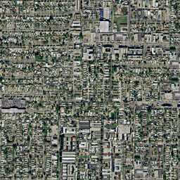
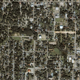
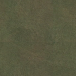
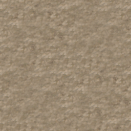
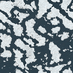
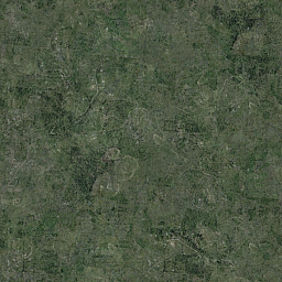
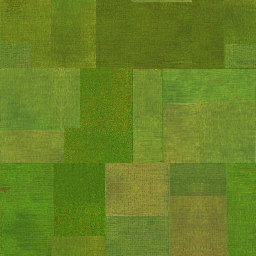
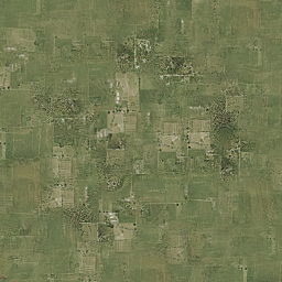
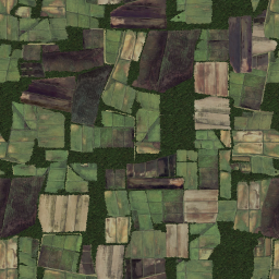
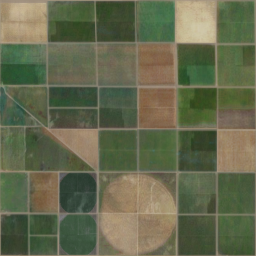
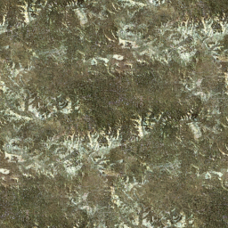
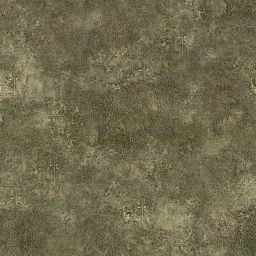
| Name | Description | Texture | WMS RGB-values1 | VMap0 equivalent, LandcoverDB VMap0 | FAO LCCS | GlobCover | CORINE landclass | NLCD class | USGS value/code | NOAA code | ATKIS code |
|---|---|---|---|---|---|---|---|---|---|---|---|
|
|||||||||||
| cs_urban |
|
211 |
v0_urban | 190 | 111 | 1/100 | 11 | 2111 | |||
| cs_suburban |
|
16 | |||||||||
| cs_town |
|
239 |
v0_town | 112 | 17 | ||||||
| cs_industrial |
|
211 |
121 | 13 | |||||||
| cs_fishing |
|
085 155 239 |
|||||||||
| cs_transport |
|
126 |
122 | 14 | |||||||
| cs_port |
|
155 |
123 | ||||||||
| cs_asphalt |
|
||||||||||
| cs_airport |
|
099 |
124 | ||||||||
| cs_openmining |
|
155 |
131 | 75 | |||||||
| cs_dump |
|
155 |
132 | ||||||||
| cs_construction |
|
183 |
133 | ||||||||
| cs_dirt |
|
200 | 83 |
||||||||
| cs_rock |
|
211 |
332 | 74 | |||||||
| cs_lake |
|
000 |
v0_lake | 210 | 512 | 11 | 16/500 | 52 | |||
| cs_intermittentlake |
|
v0_intermittentlake | |||||||||
| cs_watercourse |
|
000 |
511 | ||||||||
|
|||||||||||
| cs_sand |
|
239 |
v0_sand | 331 | 73 | ||||||
| N/A |
|
72 | |||||||||
| cs_floodland |
|
v0_floodland | 17/620 | 62 | |||||||
| cs_lagoon |
|
000 |
521 | ||||||||
| cs_estuary |
|
099 |
522 | 54 | |||||||
| N/A |
|
159 |
523 | ||||||||
| cs_saltmarsh |
|
183 |
421 | ||||||||
| cs_saline |
|
000 |
422 | 71 | |||||||
| cs_littoral |
|
239 |
v0_littoral | 423 | |||||||
| cs_lava |
|
v0_lava | |||||||||
| cs_burnt |
|
000 |
334 | ||||||||
| cs_glacier |
|
000 |
v0_glacier | 220 | 335 | 12 | 24/900 | 92 | |||
| cs_packice |
|
v0_packice | |||||||||
| cs_polarice |
|
v0_polarice | |||||||||
|
|||||||||||
| cs_barrencover |
|
126 |
v0_barrencover | 150 | 333 | 31 | 19/770 | 77 | |||
| cs_bog |
|
126 |
v0_bog | 412 | |||||||
| cs_marsh |
|
183 |
v0_marsh | 160 |
411 | 18/610 | 61 | ||||
| cs_grassland |
|
155 |
v0_grasscover | 140 | 321 | 71 | 7/311 | ||||
| cs_greenspace |
|
099 |
141 | ||||||||
| cs_golfcourse |
|
239 |
142 | ||||||||
| cs_cemetery |
|
||||||||||
|
|||||||||||
| cs_cropgrass |
|
155 |
30 | 231 | 5/280 | 21 | |||||
| cs_drycrop |
|
239 |
v0_drycroppasturecover | 10 | 211 | 2/211 | |||||
| cs_irrcrop |
|
000 |
v0_irrcroppasturecover | 11 | 212 | 3/212 | |||||
| cs_vineyard |
|
239 |
11 | 221 | 3/212 | ||||||
| cs_orchard |
|
239
|
11 | 222 | 3/212 | ||||||
| cs_olives |
|
000 |
11 | 223 | 3/212 | ||||||
| cs_rice |
|
000 |
213 | ||||||||
| cs_mixedcrop |
|
000 |
v0_mixedcroppasturecover | 241 | 4/213 | 24 | |||||
| cs_complexcrop |
|
239 |
242 | 23 | |||||||
| cs_naturalcrop |
|
183 |
20 |
243 | |||||||
| cs_agroforest |
|
000 |
244 | 6/290 | |||||||
| cs_herbtundra |
|
v0_herbtundracover | 72 | 20/820 | 82 | ||||||
| cs_heath |
|
211 |
322 | ||||||||
| cs_sclerophyllous |
|
000 |
323 | ||||||||
| cs_scrub |
|
183 |
v0_scrubcover | 130 | 324 | 52 | 8/321 | 32 | |||
|
|||||||||||
| cs_deciduousforest |
|
000 |
v0_deciduousbroadcover | 50 | 311 | 41 | 11/411 | 41 | |||
| N/A |
|
90 | 12/412 | ||||||||
| N/A |
|
40 | 13/421 | ||||||||
| cs_evergreenforest |
|
000 |
v0_evergreenbroadcover | 70 | 312 | 42 | 14/422 | 42 | |||
| cs_mixedforest |
|
000 |
v0_mixedforestcover | 100 | 313 | 43 | 15/430 | 43 | |||
| cs_rainforest |
|
||||||||||
|
|||||||||||
| cs_road |
|
v0_road | |||||||||
| cs_freeway |
|
v0_freeway | |||||||||
| cs_railroad1 |
|
v0_railroad1 | |||||||||
| cs_railroad2 |
|
v0_railroad2 | |||||||||
| cs_stream |
|
v0_stream | 51 | ||||||||
| cs_intermittentstream |
|
v0_intermittentstream | |||||||||
| cs_canal |
|
v0_canal |
Sources:
- VMap0: NGA MIL-PRF-89039
- FAO: http://www.fao.org/docrep/003/x0596e/x0596e00.htm
- GlobCover: GLOBCOVER Product Specification v2
- CORINE: Corine Land Cover classes
- USGS: USGS Land Use/Land Cover System Legend (Modified Level 2)
- NOAA: NOAA Land Use/Land Cover Code List
1) Colours do not precisely correspond with EEA's Corine Landclass Colour values, Latest CLC2000 RGB-Values
, instead, the values are taken from the DLR's "Classification key and lookup-table" at Data description CLC2000.
