Semantic search

Jump to navigation Jump to search

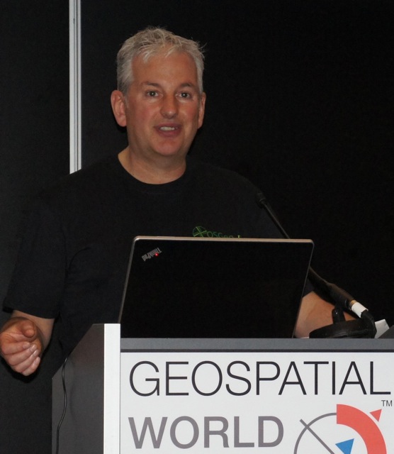
[[ John Bryant | John Bryant ]]

Name: John Bryant
Company: Mammoth Geospatial
Country: Australia
State: WA
City: Fremantle
Local Chapter: Oceania
Website: https://mammothgeospatial.com
Email: johnwbryant@gmail.com
Coordinate: 32° 3' 45.50" S, 115° 45' 33.14" E
Languages: English, Spanish

Experience: OSGeo charter.png OSGeo user.png

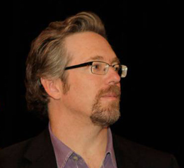
John Bryant

Originally from Canada, I'm currently based in Fremantle, Australia where I operate an open geospatial consulting company called Mammoth Geospatial. Organiser of FOSS4G Perth and geogeeks.org, founding chair of FOSS4G SotM Oceania & OSGeo Oceania. Frequent attendee and sometimes volunteer at global FOSS4G events. Always keen to meet other spatial enthusiasts. Building a strong open geospatial community in Oceania!

Loading map...

[[ Jonahsullivan | Jonah Sullivan ]]

Name: Jonah Sullivan
Job Title: Geospatial Advisor
Company: Australian Public Service
Country: Australia
Local Chapter: Oceania
Languages: English

Experience: OSGeo board.png OSGeo coder.png OSGeo charter.png OSGeo user.png

Federal sector geospatial analyst in Australia. FOSS4G SotM Oceania Committee member 2018, OSGeo Oceania Board member 2019, 2020, 2021, 2022, 2023, 202, FOSS4G SotM Oceania 2020 Co-Chair, FOSS4G SotM Oceania 2021 Conference Committee member.

Loading map...

[[ Jonaseberle | Jonas Eberle ]]

Name: Jonas Eberle
Job Title: Research assistant, Developer
Company: German Aerospace Center - Earth Observation Center; Eberle Software & Web Development
Country: Germany
State: Bavaria
City: Munich
Local Chapter: FOSSGIS e.V.
Email: jonas.eberle@gmx.de
Coordinate: 50° 55' 35.04" N, 11° 35' 16.44" E
Languages: German, English

Experience: OSGeo psc.png OSGeo charter.png OSGeo user.png

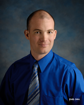
Jonas Eberle

EO Platform Architect and Research assistant at German Aerospace Center, German Remote Sensing Data Center, Department for Information Technology.Interested in Earth Observation, OGC-compliant EO services, and user-friendly services and applications.

Loading map...

[[ Jjesus | Jorge Samuel Mendes de Jesus ]]

Name: Jorge Samuel Mendes de Jesus
Job Title: Spatial Data Infrastructure Manager
Country: The Netherlands
State: Gelderland
City: Wageningen
Instant Messaging: @JMendesDeJesus
Email: jorge.mendesdejesus@isric.org
Coordinate: 51° 58' 22.51" N, 5° 40' 15.53" E
Languages: Portuguese, Spanish, English, Dutch, Italian

Experience: OSGeo coder.png OSGeo charter.png OSGeo user.png OSGeo Committer.png

Loading map...

[[ Jsanz | Jorge Sanz ]]

Name: Jorge Sanz
Job Title: Data Engineer
Company: Elastic
Country: Spain
State: Valencia
City: València
Local Chapter: Capítulo Local de la comunidad hispano-hablante
Social Media: http://@xurxosanz
Website: http://jorgesanz.net
Email: jorge@jorgesanz.net
Coordinate: 39° 28' 12.00" N, 0° 22' 33.60" W
Languages: Catalan, Spanish, English

Experience: OSGeo charter.png OSGeo exboard.png OSGeo user.png

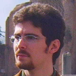
Jorge Sanz
Loading map...

[[ Jorge Sanz | Jorge Sanz ]]

Name: Jorge Sanz
Job Title: Data Engineer
Company: Elastic
Country: Spain
State: Valencia
City: València
Local Chapter: Capítulo Local de la comunidad hispano-hablante
Social Media: http://@xurxosanz
Website: http://jorgesanz.net
Email: jorge@jorgesanz.net
Coordinate: 39° 28' 12.00" N, 0° 22' 33.60" W
Languages: Catalan, Spanish, English

Experience: OSGeo charter.png OSGeo exboard.png OSGeo user.png

Jorge Sanz
Loading map...

[[ Julienmichel | Julien Michel ]]

Name: Julien Michel
Job Title: R&D engineer
Company: CNES
Country: France
City: Toulouse
Local Chapter: Francophone OSGeo Chapter
Coordinate: 43° 33' 42.43" N, 1° 28' 53.82" E
Languages: French, English

Experience: OSGeo coder.png OSGeo psc.png OSGeo charter.png OSGeo user.png

Julien Michel

Julien Michel is a many year (9+) contributor to the Orfeo ToolBox (www.orfeo-toolbox.org), an open-source C++ library for remote sensing images processing, which is an incubating OSGeo project. Julien Michel is also a member of the OTB Project Steering Committee.

He occasionnaly contributes to the OSSIM and ITK projects.

Loading map...

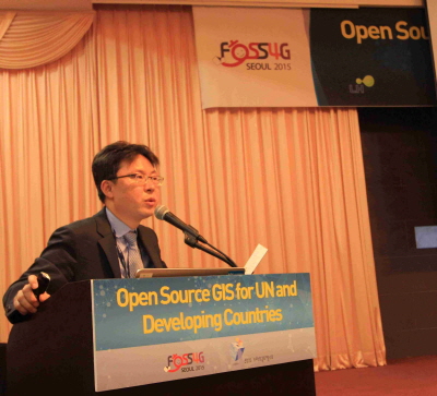
[[ NOVACITE | Junyoung Choi ]]

Name: Junyoung Choi
Job Title: Research Fellow
Company: Seoul Institute of Technology(SIT)
Address: Maebongsan-ro 37
Country: Korea
State: Seoul
City: Mapo-gu
Local Chapter: Korea
Instant Messaging: Skype:Choi-jun-young
Social Media: https://www.facebook.com/junyoung.choi.50159
Coordinate: 37° 34' 33.90" N, 126° 53' 26.00" E
Languages: Korean, English, Basic French(DELF A2), Basic Japanese(Reading)

Experience: OSGeo charter.png OSGeo user.png

Junyoung Choi
Loading map...

[[ Just van den Broecke | Just van den Broecke ]]

Name: Just van den Broecke
Job Title: Open Source Geospatial Professional
Company: Just Objects B.V.
Address: Amstelveen, The Netherlands
Country: The Netherlands
City: Amstelveen
Local Chapter: Dutch
Instant Messaging: Skype: justb4
Social Media: https://twitter.com/justb4
Website: https://justobjects.nl/
Email: just@justobjects.nl
Coordinate: 52° 18' 43.86" N, 4° 51' 10.26" E
Languages: Dutch, English, German, French

Experience: OSGeo coder.png OSGeo charter.png OSGeo user.png OSGeo Committer.png

Just van den Broecke
Loading map...

[[ Just | Just van den Broecke ]]

Name: Just van den Broecke
Job Title: Open Source Geospatial Professional
Company: Just Objects B.V.
Address: Amstelveen, The Netherlands
Country: The Netherlands
City: Amstelveen
Local Chapter: Dutch
Instant Messaging: Skype: justb4
Social Media: https://twitter.com/justb4
Website: https://justobjects.nl/
Email: just@justobjects.nl
Coordinate: 52° 18' 43.86" N, 4° 51' 10.26" E
Languages: Dutch, English, German, French

Experience: OSGeo coder.png OSGeo charter.png OSGeo user.png OSGeo Committer.png

Just van den Broecke
Loading map...

[[ Jerome Jacovella-St-Louis | Jérôme Jacovella-St-Louis ]]

Name: Jérôme Jacovella-St-Louis
Job Title: Chief Technology Officer
Company: Ecere Corporation
Address: 347 rue Docteur-J.-Cousineau
Country: Canada
State: Québec
City: Gatineau
Local Chapter: Ottawa Chapter
Social Media: https://www.linkedin.com/in/jeromestlouis, https://twitter.com/EcereCorp
Website: http://ecere.ca/
Email: jerome@ecere.com
Coordinate: 45° 28' 35.40" N, 75° 42' 4.68" W
Languages: French, English

Experience: OSGeo charter.png OSGeo user.png

Jérôme Jacovella-St-Louis
Loading map...

[[ KarelCharvat | Karel Charvat ]]

Name: Karel Charvat
Job Title: Chair of Czech Center for Science and Sociaty
Company: Czech Center for Science and Sociaty
Country: Czech Republic
City: Prague
Local Chapter: Chech
Social Media: http://www.linkedin.com/profile/view?id=73516853
Coordinate: 50° 4' 30.22" N, 14° 26' 9.53" E
Languages: Czech, Russian, English

Experience: OSGeo user.png

Karel Charvat
Loading map...

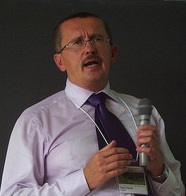
[[ Wonderchook | Kate Chapman ]]

Name: Kate Chapman
Job Title: Executive Director
Company: Humanitarian OpenStreetMap Team
Country: United States of America
State: Oregon
City: Portland
Local Chapter: PDX-OSGEO
Instant Messaging: Skype: kateachapman
Phone: +1-703-673-8834
Coordinate: 45° 31' 12.00" N, 122° 40' 26.40" W
Languages: English, Indonesian

Experience: OSGeo user.png

Kate Chapman

Kate is Executive Director of the Humanitarian OpenStreetMap Team. Her most recent projects have included working in Indonesia leading a team to train disaster managers in using open-source software to better plan for disasters and relaunching of the OpenAerialMap project. Kate has spoken about the benefits of open-source and open data for disaster response and risk reduction all over the world, including giving keynotes at Linux Conf Australia and FOSS4G in 2013.

Loading map...

[[ Kevin Smith | Kevin Smith ]]

Name: Kevin Smith
Job Title: Software Engineer
Company: Boundless
Country: Canada
State: British Columbia
City: Victoria
Local Chapter: British Columbia Chapter
Coordinate: 48° 27' 0.00" N, 123° 24' 0.00" W
Languages: English

Experience: OSGeo coder.png OSGeo psc.png OSGeo charter.png OSGeo user.png OSGeo Committer.png

Loading map...

[[ Kurt Menke | Kurt Menke ]]

Name: Kurt Menke
Job Title: GIS Specialist, Owner
Company: Bird's Eye View GIS
Country: USA
State: New Mexico
City: Albuquerque
Local Chapter: New Mexico
Instant Messaging: Skype: birdseyeviewgis
Website: http://www.birdseyeviewgis.com
Email: Kurt@birdseyeviewgis.com
Coordinate: 35° 5' 2.77" N, 106° 39' 3.55" W


Experience: OSGeo charter.png OSGeo user.png

Kurt Menke

Kurt Menke is a Certified GIS Professional (GISP) who has been working in the field for 19 years. He works largely on spatial analysis in the conservation field. He received a Masters degree (MA) in Geography from the University of New Mexico in 2000. He is a long time advocate of FOSS4G. Recently he has authored Discover QGIS through Locate Press and co-authored Mastering QGIS through Packt Publishing. In 2015 he was part of the GeoAcademy team awarded the GeoForAll Educator of the Year award.

Loading map...

[[ Surveyor | Landon Blake ]]

Name: Landon Blake
Job Title: Owner
Company: Redefined Horizons
Country: USA
State: California
City: Stockton
Local Chapter: California Chapter
Social Media: https://twitter.com/mapit4u, http://www.linkedin.com/in/landonblake
Website: http://www.redefinedhorizons.com/
Coordinate: 37° 57' 27.73" N, 121° 17' 26.81" W


Experience: OSGeo user.png

Landon Blake

Landon Blake is a land surveyor and GIS programmer with a focus on OpenJUMP and CAD customization. He serves as the Vice President of the California Land Surveyors Association Central Valley Chapter, is a member of the California Land Surveyors Association GIS Committee, and also serves as a member of the California Geodetic Control Working Group.

Loading map...

[[ Lars | Lars Lingner ]]

Name: Lars Lingner
Job Title: GIS-Consultant
Company: mapwebbing
Country: Germany
State: Berlin
City: Berlin
Local Chapter: FOSSGIS e.V.
Social Media: https://twitter.com/#!/mapwebbing
Coordinate: 52° 31' 32.16" N, 13° 24' 6.48" E
Languages: German, English

Experience: OSGeo user.png OSGeo Committer.png

Lars Lingner is an active member in the local chapter FOSSGIS e.V. since 2007 He is using open source software as well as open data and is promoting several projects on local, national and international events. Such as FOSSGIS Konferenz, AGIT, State of the Map, FOSS4G. He is organizing local regularly events in Berlin, Germany called Stammtisch and Hackweekend for the OpenStreetMap and FOSSGIS community. His focus is the server side software to build an open source map stack, like MapServer, PostgreSQL/Postgis, GDAL/OGR.

Loading map...

[[ LucaCongedo | Luca Congedo ]]

Name: Luca Congedo
Job Title: Engineer
Company: Sapienza University
Country: Italiano
City: Rome
Local Chapter: Italiano
Social Media: https://www.facebook.com/LucaCongedoGIS
Website: https://fromgistors.blogspot.com
Coordinate: 41° 53' 24.00" N, 12° 29' 24.00" E
Languages: Italian, English

Experience: OSGeo coder.png OSGeo charter.png OSGeo user.png

Luca Congedo

Luca Congedo is an environmental engineer and researcher working in the fields of GIS and Remote Sensing since 2009. He has a Master's Degree in Environmental Engineering (110/110) at Sapienza University (Rome), Engineering Faculty, and he is a Ph.D. student in Landscape and Environment at Sapienza University. Luca Congedo has published over 20 scientific papers and working papers. He is the developer of the Semi-Automatic Classification Plugin for QGIS, an open source plugin that allows for the semi-automatic classification of remote sensing images, including several tools for the pre processing and post processing of images. Since 2013 he is author of the blog "From GIS to Remote Sensing" (https://fromgistors.blogspot.com) that aims to foster the use of open source software for environmental monitoring through tutorials and videos.

Loading map...

[[ Lucadelu | Luca Delucchi ]]

Name: Luca Delucchi
Job Title: GIS Technician
Company: Fondazione Edmund Mach
Country: Italiano
City: San Michele all'Adige
Local Chapter: Italiano
Instant Messaging: Skype: lucadelu
Phone: +39-0461615570
Coordinate: 46° 11' 32.64" N, 11° 8' 4.20" E
Languages: Italian, English, French

Experience: OSGeo coder.png OSGeo charter.png OSGeo user.png OSGeo Committer.png

Luca Delucchi
Loading map...

[[ Ginetto | Luigi Pirelli ]]

Name: Luigi Pirelli
Job Title: Software Developer
Country: Spain
State: Galicia
City: Betanzos
Local Chapter: Capítulo Local de la comunidad hispano-hablante
Social Media: http://@ginetto
Website: https://www.linkedin.com/in/luigipirelli
Email: luipir@gmail.com
Coordinate: 43° 17' 11.87" N, 8° 12' 53.92" W
Languages: italian, spanish, english

Experience: OSGeo coder.png OSGeo charter.png OSGeo user.png

Luigi Pirelli is a Computer Science Designer and Developer with several years of experience in Earth Observation Systems and Ground Station segment. He worked with ESA main contractors as Telespazio and Advanced Computer Systems (ACS), covering technical roles in system design, software engineering, software development, systems integration and test. During last years started to contribute to the Italian Geographic Free Software community adding code to the the GRASS and QGIS project and resulting founder of the GFOSS Italian Local Chapter. Latest experience cover activities in Spanish local chapter where he lives and active contributions to QGIS code and to the international community. Actually he works only developing for QGIS platform for Boundless Spatial Inc. mainly focused on PKI infrastructure and Continue Integration.

Loading map...