Board Member Profiles
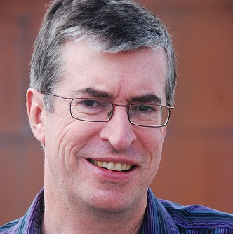
Peter Batty
Co-founder and CTO of Geospatial Division, Ubisense
Location: Denver, CO, United States (originally from the United Kingdom)
Peter has worked in the geospatial industry for 25 years and has served as CTO for two of the world's top 200 software companies, Intergraph and Smallworld (now part of GE Energy). In recent years he has worked extensively with open source systems and new generation web mapping applications such as Google Maps. More details at LinkedIn.
-
- Chaired the FOSS4G conference in Denver in 2011. It was the largest FOSS4G to date with over 900 attendees from 42 countries
- Has spoken at many conferences around the world on trends in the geospatial industry, including open source geospatial
- Served on the OSGeo board from 2011 to 2013
- Has developed applications using a variety of OSGeo software, including PostGIS, MapFish and OpenLayers
- Is a member of the OSGeo Conference Committee
- Was the OSGeo Board Liaison for the FOSS4G 2013 conference in Nottingham, UK
- Writes a Blog
- Other interests
- When not doing geo things, keen traveler and photographer. See photos at Peter Batty photos and also check out the Peter Batty travel and photography blog
- Contact
- Email: peter AT ebatty DOT com
- Skype: pmbatty
- twitter @pmbatty
- Spoken Language(s)
- English
- Profile last updated
- 1 February 2015
{{#umSetParam: -104.99854|39.753358|Denver, CO, US|Pmbatty|Peter Batty}}
| OSGeo Member | ||
|---|---|---|
| Name: | Jáchym Čepický | |
| Job Title: | ||
| Company: | MapTiler , OpenGeoLabs.cz | |
| Address: | Liban, Czechia | |
| City: | Liban | |
| State: | Královéhradecký kraj | |
| Country: | Czechia | |
| Local Chapter: | Czechia | |
| Email: | jachym cepicky ch | |
| Phone: | ||
| Instant Messaging: | ||
| Website: | https://cepicky.ch https://opengeolabs.cz | |
| Language(s): | cz; en; de | |
| Personal Description : | Data and Geocoding teams at MapTiler.com, Founder of opengeolabs.cz and gismentors.cz | |
|
|
||
URIs of the form "jachym cepicky ch" are not allowed.
OSGeo Experience and Roles:
| OSGeo Member | ||
|---|---|---|
| Name: | Michael P. Gerlek | |
| Job Title: | ||
| Company: | ||
| Address: | Bainbridge Island, Washington, USA | |
| City: | ||
| State: | ||
| Country: | [[|{{{Country}}}]] | |
| Local Chapter: | [[|{{{LocalChapter}}}]] | |
| Email: | ||
| Phone: | ||
| Instant Messaging: | ||
| Website: | ||
| Language(s): | ||
| Personal Description : | ||
|
|
||
| OSGeo Member | ||
|---|---|---|
| Name: | Mark Lucas | 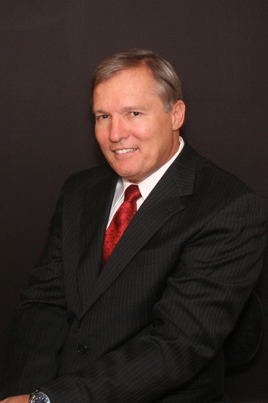 |
| Job Title: | Principal Scientist | |
| Company: | RadiantBlue Technologies Inc. | |
| Address: | ||
| City: | Melbourne Beach | |
| State: | Florida | |
| Country: | USA | |
| Local Chapter: | Southeast US | |
| Email: | mlucas17 AT mac DOT com | |
| Phone: | 321 266 1475 | |
| Instant Messaging: | ||
| Website: | ||
| Language(s): | English; Spanish | |
| Personal Description : | Mark Lucas has pioneered efforts in Open Source Software Development in remote sensing, image processing and geographical information systems. Mark established ossim.org and has led several government funded studies and development efforts since 1996. ... more. | |
|
|
||
URIs of the form "mlucas17 AT mac DOT com" are not allowed. URIs of the form "321 266 1475" are not allowed. [[Info::Mark Lucas has pioneered efforts in Open Source Software Development in remote sensing, image processing and geographical information systems. Mark established ossim.org and has led several government funded studies and development efforts since 1996. ... more.| ]]
OSGeo Experience and Roles:
Mark Lucas
Principal Scientist, RadiantBlue Technologies Inc.
Location:Melbourne Beach, Florida, USA
Mark Lucas has pioneered efforts in Open Source Software Development in remote sensing, image processing and geographical information systems. Mark established ossim.org and has led several government funded studies and development efforts since 1996. ... more.
- OSGeo experience
-
- Original founder of the OSSIM remote sensing project
- On the original organizing committee for the OSGeo, a founding member and board member.
- Recently returned to serve on the current Board of Directors
- Contact
- Email: mlucas17 AT mac DOT com
- Phone (work): 321 266 1475 (USA)
- Spoken Language(s)
- English, Spanish
- Profile last updated
- 07 JULY 2012
| OSGeo Member | ||
|---|---|---|
| Name: | Anne Ghisla | 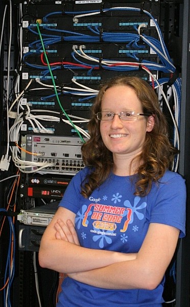 |
| Job Title: | ||
| Company: | ||
| Address: | ||
| City: | Berlin | |
| State: | Berlin | |
| Country: | Germany | |
| Local Chapter: | FOSSGIS | |
| Email: | ||
| Phone: | ||
| Instant Messaging: | ||
| Website: | ||
| Language(s): | Italian; French; English; German | |
| Personal Description : | Anne is a natural scientist who got interested in GIS and open source programming during university. She started with GRASS GIS and QGIS, first met the OSGeo community by helping on documentation. Then she started programming in 2008 thanks to Google Summer of Code, and became mentor and administrator for OSGeo in following years. She doesn't code much anymore, as she is now focused on connecting people and communities of different software projects. She helped Jorge Rocha with CRO duties for OSGeo elections in 2019 and 2020. | |
|
|
||
OSGeo Experience and Roles:
Anne Ghisla
Anne is a natural scientist who got interested in GIS and open source programming during university. She started with GRASS GIS and QGIS, first met the OSGeo community by helping on documentation. Then she started programming in 2008 thanks to Google Summer of Code, and became mentor and administrator for OSGeo in following years. She doesn't code much anymore, as she is now focused in connecting people and communities of different software projects. She helped Jorge Rocha with CRO duties for OSGeo elections in 2019 and 2020.
- OSGeo Google Summer of Code administrator in 2011, 2012, 2013, 2014 and 2015
- Member of Italian chapter GFOSS.it from September 2007 to November 2014
- OSGeo Board member from 2012 to 2015
- Currently dormant GRASS GIS core developer
- Co-founder of OSGeo Women Chapter
- CRO helper in 2019 and 2020
- Contact
- Email: a DOT ghisla AT gmail DOT com
- IRC: aghisla on freenode (#osgeo)
- Spoken Language(s)
- Italian and French (mother tongues), English (fluent), German (improving :) )
- Profile last updated
- 03-04-2020
| OSGeo Member | ||
|---|---|---|
| Name: | Daniel Morissette | |
| Job Title: | ||
| Company: | ||
| Address: | Chicoutimi, QC, Canada | |
| City: | ||
| State: | ||
| Country: | [[|{{{Country}}}]] | |
| Local Chapter: | [[|{{{LocalChapter}}}]] | |
| Email: | ||
| Phone: | ||
| Instant Messaging: | ||
| Website: | ||
| Language(s): | ||
| Personal Description : | ||
|
|
||
| OSGeo Member | ||
|---|---|---|
| Name: | Cameron Shorter | 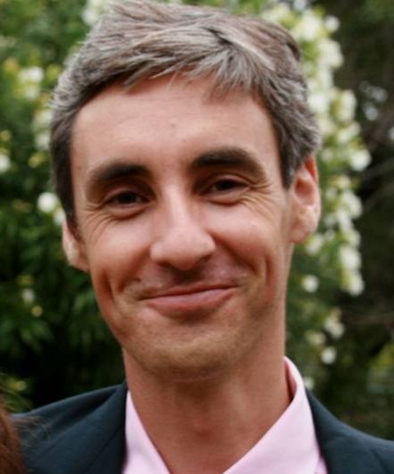 |
| Job Title: | Open Technologies and Geospatial Consultant | |
| Company: | Government (NSW, Australia) | |
| Address: | ||
| City: | Sydney | |
| State: | NSW | |
| Country: | Australia | |
| Local Chapter: | Aust-NZ | |
| Email: | cameron shorter AT gmail DOT com | |
| Phone: | ||
| Instant Messaging: | ||
| Website: | http://cameronshorter.blogspot.com/ | |
| Language(s): | English | |
| Personal Description : | Cameron has a breadth of practical experience with the numerous facets of Geospatial Open Source and OGC Standards. He has chaired a FOSS4G conference; served on the OSGeo Board, co-founded and co-coordinates the OSGeoLive project; co-authored OSGeo Software Incubation criteria; and consults to governments and industry on Open Source, Open Standards and Spatial Data Systems. | |
|
|
||
URIs of the form "cameron shorter AT gmail DOT com" are not allowed.
OSGeo Experience and Roles:
![]()
![]()
![]()
![]()
![]()
![]()
![]() More at http://cameron.shorter.net/resume.html
More at http://cameron.shorter.net/resume.html
| OSGeo Member | ||
|---|---|---|
| Name: | Frank Warmerdam |  |
| Job Title: | ||
| Company: | Planet | |
| Address: | ||
| City: | Eganville | |
| State: | Ontario | |
| Country: | Canada | |
| Local Chapter: | California Chapter | |
| Email: | warmerdam@pobox.com | |
| Phone: | +1 (650) 701-7823 | |
| Instant Messaging: | ||
| Website: | ||
| Language(s): | ||
| Personal Description : | Frank Warmerdam is a C++, Java and Python geospatial software developer, primarily known for founding the GDAL/OGR multi format geospatial data access and translation project. He is also active on the PROJ.4, libtiff, and libgeotiff projects, was a founding director of OSGeo, and is a Primary Administrator on the OSGeo System Administration Committee. | |
|
|
||
URIs of the form "+1 (650) 701-7823" are not allowed. [[Info::Frank Warmerdam is a C++, Java and Python geospatial software developer, primarily known for founding the GDAL/OGR multi format geospatial data access and translation project. He is also active on the PROJ.4, libtiff, and libgeotiff projects, was a founding director of OSGeo, and is a Primary Administrator on the OSGeo System Administration Committee.| ]]
OSGeo Experience and Roles:
Frank Warmerdam
Employment: Google
Location: Mountain View, California, USA
Frank Warmerdam is a C++, Java and Python geospatial software developer, primarily known for founding the GDAL/OGR multi format geospatial data access and translation project. He is also active on the PROJ.4, libtiff, and libgeotiff projects, was a founding director of OSGeo, and is a Primary Administrator on the OSGeo System Administration Committee.
- Contact
- Email: warmerdam@pobox.com
- Web: http://pobox.com/~warmerdam/
- Phone: +1 (650) 701-7823
- Spoken Language(s)
- English
- Profile last updated
- 17 August 2012
