Search results
Jump to navigation
Jump to search
- ...alan a Software Professional with more than 12+ years of experience in Big Data tools like Hadoop, and Hive and open source technologies like Perl, PHP, Py I have completed my Masters in Data Science and Analytics from University College Cork, Ireland and690 bytes (113 words) - 09:02, 21 October 2016
- ...s in the United States as ESRI Shapefiles. Visit this [http://www.esri.com/data/download/census2000_tigerline/index.html page] to for downloads of these Sh ...tp://wiki.osgeo.org/index.php/Starter_Dictionary#Geospatial_Data Gespatial Data]7 KB (1,140 words) - 05:02, 2 October 2008
- * Vector Data Status (Martin Spott) * Raster Data Status (Chris Schmidt)2 KB (320 words) - 02:23, 7 April 2008

File:Asdar.jpg Applied Spatial Data Analysis with R(95 × 144 (40 KB)) - 02:23, 16 April 2009- ** Responsibilities for different data sets * Some type of browsing interface for the data neccesary:4 KB (636 words) - 08:33, 23 August 2007
- Data Discussion: Some of the previously shared data produced locations well out of the park.753 bytes (116 words) - 11:56, 28 April 2022
- ** It's extremely data-driven - open source developers need open access to data892 bytes (134 words) - 11:36, 20 July 2006
- ...for water in France - data collection in ministry of ecology - publishing data (http://sandre.eaufrance.fr) - licensing issues to resolve ...- u minnesota - os gis and web mapping - environment management - lots of data, not3 KB (445 words) - 08:41, 23 August 2007
- #REDIRECT [[MapGuide RFC 2 - Unmanaged Data APIs]]50 bytes (7 words) - 19:11, 1 November 2006
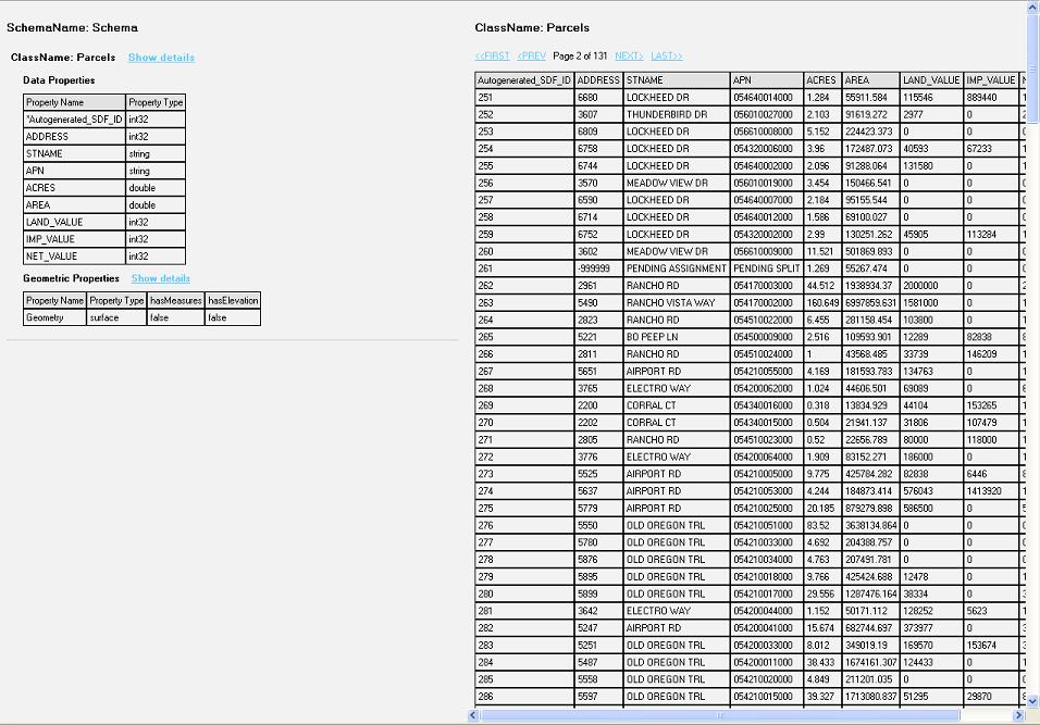
File:Data Display.JPG Screenshot view of the data from the feature class(956 × 667 (140 KB)) - 12:24, 12 December 2006- Pages regarding the Public Geospatial Data Committee63 members (0 subcategories, 0 files) - 08:31, 23 August 2007

File:R3GIS-DVD.pdf Merano (Italy) data license statement(133 KB) - 02:33, 30 April 2008- #REDIRECT [[Public Geospatial Data Committee]]46 bytes (5 words) - 05:36, 14 August 2006
File:Dems.pdf Get DEM, DOQ, and SRTM data for any area of interest in(943 KB) - 01:07, 25 August 2009- ...en source proxy for geospatial data. It caches, accelerates and transforms data from existing map services and serves any desktop or web GIS client. == Basic Project Data ==2 KB (256 words) - 18:25, 19 March 2016
- ...age the data publishing framework for IOOS' ocean observation and forecast data throughout the coastal United States, Pacific Islands and Great Lakes.1 KB (208 words) - 05:54, 21 September 2017
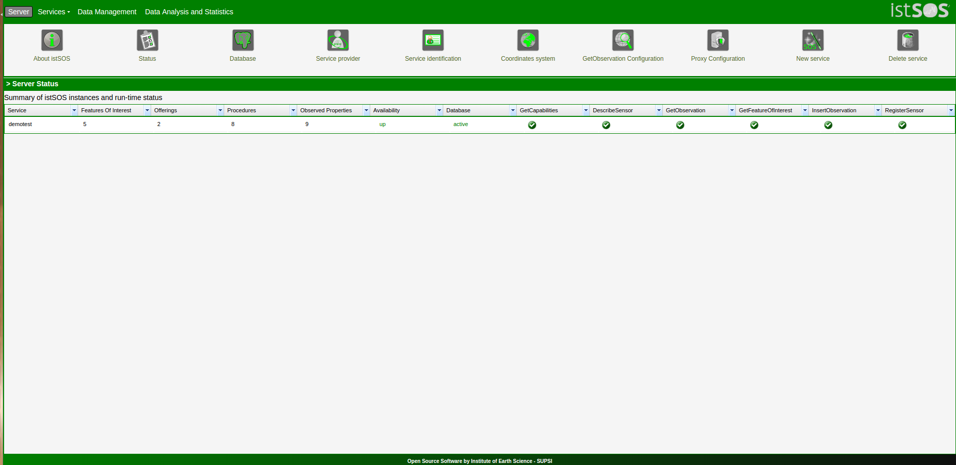
File:Main.png istSOS-Data analysis statistics tool suite(1,872 × 911 (84 KB)) - 21:54, 25 June 2017- * data - any spatial data required for your workshop707 bytes (105 words) - 15:49, 1 September 2009
- ...patial". It is a ''minimal information model for metadata about geospatial data''. DCLite4G consists of: ...e extra properties needed to usefully specify the properties of geospatial data.8 KB (1,219 words) - 04:34, 11 September 2008
- ...ys in which location information could make it easier to find and download data. CKAN is a registry, not a repository - it stores minimal metadata about data sources. Essentially, a title, a project URL, a download URL, and author/ma5 KB (734 words) - 15:42, 14 January 2010


