Semantic search

Jump to navigation Jump to search

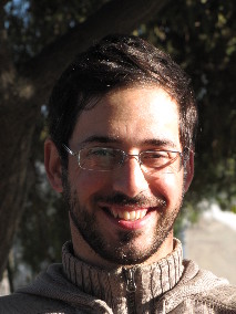
[[ Jack Reed | Jack Reed ]]

Name: Jack Reed
Job Title: Geospatial Web Engineer
Company: Stanford University
Country: United States
State: Georgia
City: Atlanta
Local Chapter: Southeast US
Social Media: http://@mejackreed
Website: https://www.jack-reed.com
Email: phillipjreed@gmail.com
Coordinate: 33° 44' 57.30" N, 84° 23' 14.33" W
Languages: English

Experience:

I work at the Stanford Libraries increasing access to geospatial data. I'm a co-founder of the GeoBlacklight and OpenGeoMetadata projects and work on a variety of other open source software projects.

Loading map...

[[ JRM | Jean-Roc Morreale ]]

Name: Jean-Roc Morreale
Job Title: Informations System Administrator
Company: Departmental Center of Archeology, Conseil Général du Pas de Calais
Country: France
City: Arras
Local Chapter: Francophone OSGeo Chapter
Coordinate: 50° 17' 33.09" N, 2° 46' 21.90" E
Languages: French, English

Experience: OSGeo user.png

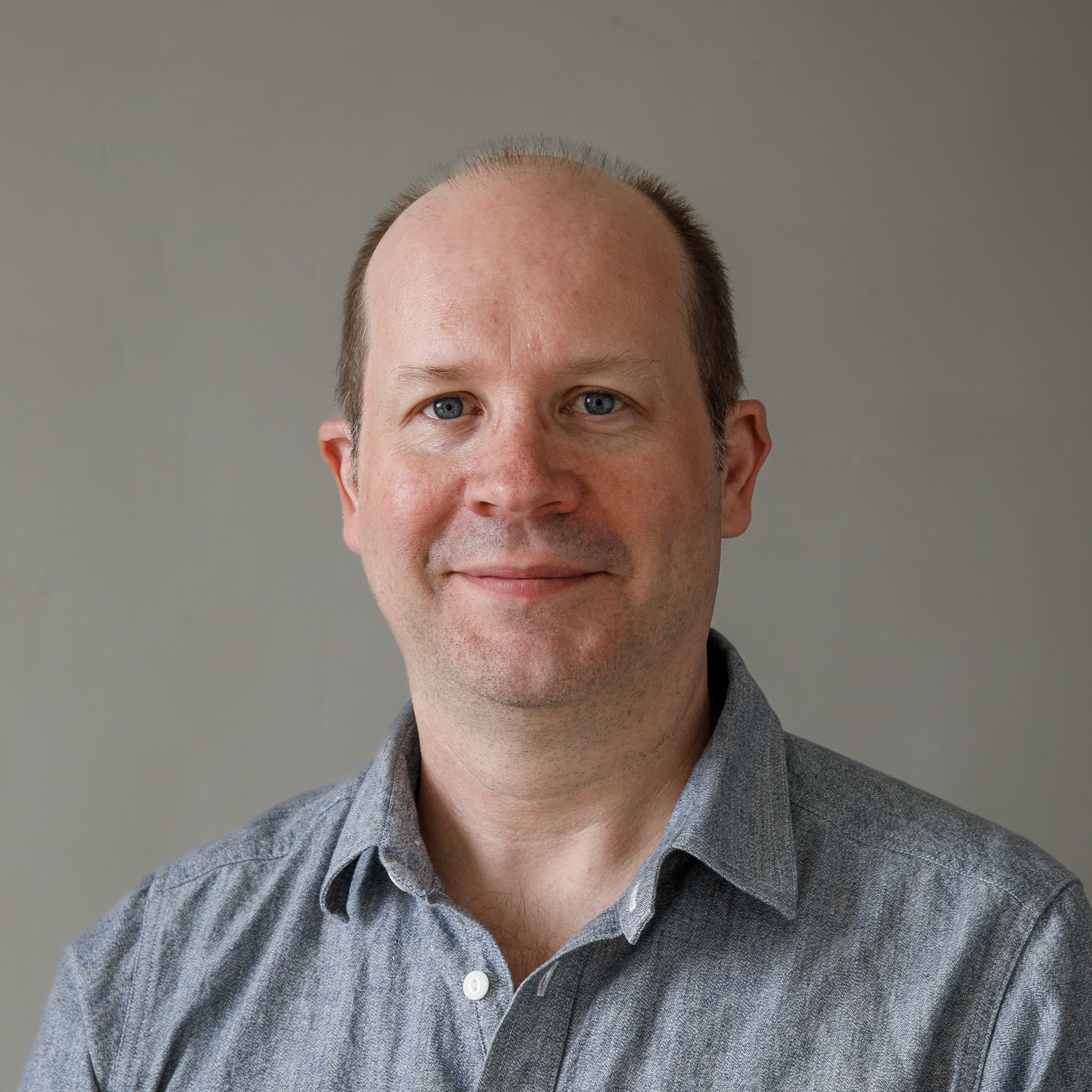
Jean-Roc Morreale

Jean-Roc is an archaeologist specialized in the long-term conservation and exploitation of field data, this task is made much easier when using open data formats and free software. For this reason, he started to localize Quantum GIS and participate as board member of the french OSGeo chapter to the promotion and the diffusion of free and open GIS tools into the labs but also into the public administration.

Loading map...

[[ Jeff Hamm | Jeff Hamm ]]

Name: Jeff Hamm
Job Title: President
Company: GeoPlan Consulting
Country: Canada
State: Yukon
City: Tagish
Local Chapter: Yukon Chapter
Website: http://geoprism.ca
Email: jeff@geoprism.ca
Coordinate: 60° 18' 46.44" N, 134° 16' 27.48" W
Languages: English

Experience: OSGeo user.png

I graduated as a geographer several datum changes ago, and remember clearly discovering the magic of gdal in my search to become digital and shpless. Now, 40 years later, I don’t know anyone that can’t find their way through the world using mobile mapping tools.

At a MapServer user meeting in Ottawa in 2004, I found and embraced a vibrant, innovative and sociable community of such diversity, everyone had a place, and a role in growing a movement.

As a participant and presenter at several FOSS4G conferences, I know how passionate OSGeo is about our community. In whatever small way I may have contributed, I have gained far more in return.

I am particularly interested in engaging community in land use decision making, and in mapping the negotiated and overlapping jurisdiction of colonial and indigenous world views.

I am fortunate to call the Yukon home, but I still stay connected with my OSGeo family everywhere. I value and respect diversity; and honour those who give of themselves to further the dreams of others.

Loading map...

[[ Jeroen Ticheler | Jeroen Ticheler ]]

Name: Jeroen Ticheler
Job Title: Director
Company: GeoCat
Address: Veenderweg 13
Country: The Netherlands
State: Gelderland
City: 6721WD Bennekom
Local Chapter: Nederlands
Email: jeroen.ticheler@geocat.net
Coordinate: 51° 59' 57.48" N, 5° 40' 25.32" E
Languages: Dutch, English

Experience: OSGeo psc.png OSGeo charter.png OSGeo exboard.png OSGeo user.png OSGeo Committer.png

Jeroen has been promoting the use of international standards and Free and Open Source Software for geographic data and information for over twenty years now. Jeroen is Project Officer for the GeoNetwork opensource project. He served on the OSGeo Board in 2007 & 2008 and is a Charter member since the early days of OSGeo.

Loading map...

[[ Ticheler | Jeroen Ticheler ]]

Name: Jeroen Ticheler
Job Title: Director
Company: GeoCat
Address: Veenderweg 13
Country: The Netherlands
State: Gelderland
City: 6721WD Bennekom
Local Chapter: Nederlands
Email: jeroen.ticheler@geocat.net
Coordinate: 51° 59' 57.48" N, 5° 40' 25.32" E
Languages: Dutch, English

Experience: OSGeo psc.png OSGeo charter.png OSGeo exboard.png OSGeo user.png OSGeo Committer.png

Jeroen has been promoting the use of international standards and Free and Open Source Software for geographic data and information for over twenty years now. Jeroen is Project Officer for the GeoNetwork opensource project. He served on the OSGeo Board in 2007 & 2008 and is a Charter member since the early days of OSGeo.

Loading map...

[[ JoCook | Jo Cook ]]

Name: Jo Cook
Job Title: Geospatial Consultant and Metadata Lead
Country: UK
Local Chapter: OSGeo UK https://uk.osgeo.org
Coordinate: 51° 19' 57.49" N, 0° 16' 19.10" W


Experience: OSGeo charter.png OSGeo exboard.png OSGeo user.png OSGeo Committer.png

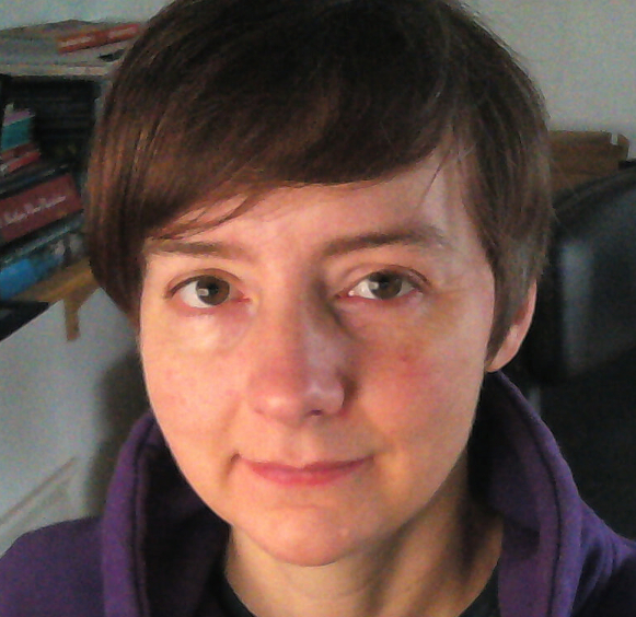
Jo Cook
Loading map...

[[ Doublebyte | Joana Simoes ]]

Name: Joana Simoes
Job Title: DevRel, Founder
Company: OGC, ByteRoad
Country: Portugal
City: Lisboa
Local Chapter: Portugal
Social Media: https://twitter.com/doublebyte
Website: https://doublebyte.net/
Coordinate: 38° 44' 13.01" N, 9° 8' 33.67" W
Languages: Portuguese, English, Spanish, Italian

Experience: OSGeo coder.png OSGeo charter.png OSGeo user.png OSGeo Committer.png

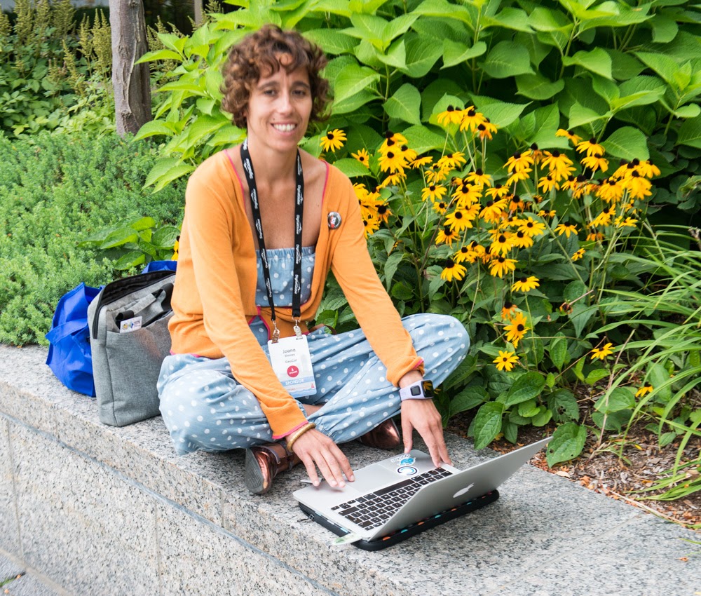
Joana Simoes

Joana is a software developer, data scientist and strategist in the field of geospatial information and technologies. She has worked in different environments, ranging from academia to industry, and has always advocated for FOSS in general, and FOSS4G in particular. When working at the United Nations, she led the migration of a code base, from proprietary technologies to FOSS, and refactored the FAO GIS course, to take advantage of FOSS4G. Joana uses a myriad of FOSS4G technologies on her daily work and during her free time, and has occasionally contributed to projects such as QGIS, or GeoNetwork. She joined the local chapters of the countries where she lived (e.g.: UK, Spain) and currently she is serving as a board member at the Portuguese Local chapter.

Loading map...

[[ Doublebyte | Joana Simoes ]]

Name: Joana Simoes
Job Title: Software Engineer, DevRel
Company: ByteRoad/OGC
Country: Portugal
City: Lisbon
Local Chapter: Portugal
Social Media: https://noc.social/@doublebyte
Website: https://doublebyte.net/
Coordinate: 38° 44' 13.01" N, 9° 8' 33.67" W
Languages: Portuguese, English, Spanish, Italian

Experience: OSGeo coder.png OSGeo charter.png OSGeo user.png OSGeo Committer.png

Joana Simoes

Joana is a software engineer with more than fifteen years of experience, with a sound expertise in the field of geospatial tech and analytics. After acquiring a PhD in Geographic Information Systems, at the University College of London (2007), her drive to solve real-world problems has led her to SMEs, an international organization, a research foundation and a start-up. Joana has been very much involved in the Free and Open Source Software community, in particular in what concerns geospatial technologies, standards and data. This has led her to become a charter member of the Open Geospatial Foundation (OSGeo) in 2017, and the vice-president of the Portuguese chapter of OSGeo. During 2017 she also took a leading role at the board of the Global Spatial Data Infrastructure Association (GSDI), as a board director of the Industry Advisory Council. Joana is the founder of ByteRoad, an R&D company in the field of spatial data infrastructures and leads Developer Relations at OGC. She is also a reviewer for the European Commission, and has been deeply involved in education, teaching the next generation of full-stack developers and data analysts.

Loading map...

[[ Jive | Jody Garnett ]]

Name: Jody Garnett
Country: Canada
City: Victoria
Local Chapter: British Columbia Chapter
Website: https://how2map.com/
Email: jody.garnett@how2map.com
Coordinate: 48° 25' 42.00" N, 123° 21' 53.74" W


Experience: OSGeo coder.png OSGeo psc.png OSGeo charter.png OSGeo exboard.png OSGeo user.png OSGeo Committer.png

Jody Garnett

A mapish developer working at GeoCat. Active with OSGeo and LocationTech communities working on a wide range of free and open source geospatial goodness!

Loading map...

[[ Johanvdw | Johan Van de Wauw ]]

Name: Johan Van de Wauw
Job Title: Data Scientist
Company: Gisky
Country: Belgium
City: Ghent
Local Chapter: Belgium
Social Media: http://be.linkedin.com/in/johanvdw/
Website: http://blog.gisky.be/
Phone: +32486025381
Coordinate: 51° 2' 59.14" N, 3° 43' 55.71" E
Languages: Dutch, English, French, Spanish, German

Experience: OSGeo coder.png OSGeo charter.png OSGeo user.png

Johan Van de Wauw
Loading map...

[[ John Bryant | John Bryant ]]

Name: John Bryant
Company: Mammoth Geospatial
Country: Australia
State: WA
City: Fremantle
Local Chapter: Oceania
Website: https://mammothgeospatial.com
Email: johnwbryant@gmail.com
Coordinate: 32° 3' 45.50" S, 115° 45' 33.14" E
Languages: English, Spanish

Experience: OSGeo charter.png OSGeo user.png

John Bryant

Originally from Canada, I'm currently based in Fremantle, Australia where I operate an open geospatial consulting company called Mammoth Geospatial. Organiser of FOSS4G Perth and geogeeks.org, founding chair of FOSS4G SotM Oceania & OSGeo Oceania. Frequent attendee and sometimes volunteer at global FOSS4G events. Always keen to meet other spatial enthusiasts. Building a strong open geospatial community in Oceania!

Loading map...

[[ Jonahsullivan | Jonah Sullivan ]]

Name: Jonah Sullivan
Job Title: Geospatial Advisor
Company: Australian Public Service
Country: Australia
Local Chapter: Oceania
Languages: English

Experience: OSGeo board.png OSGeo coder.png OSGeo charter.png OSGeo user.png

Federal sector geospatial analyst in Australia. FOSS4G SotM Oceania Committee member 2018, OSGeo Oceania Board member 2019, 2020, 2021, 2022, 2023, 202, FOSS4G SotM Oceania 2020 Co-Chair, FOSS4G SotM Oceania 2021 Conference Committee member.

Loading map...

[[ Jonaseberle | Jonas Eberle ]]

Name: Jonas Eberle
Job Title: Research assistant, Developer
Company: German Aerospace Center - Earth Observation Center; Eberle Software & Web Development
Country: Germany
State: Bavaria
City: Munich
Local Chapter: FOSSGIS e.V.
Email: jonas.eberle@gmx.de
Coordinate: 50° 55' 35.04" N, 11° 35' 16.44" E
Languages: German, English

Experience: OSGeo psc.png OSGeo charter.png OSGeo user.png

Jonas Eberle

EO Platform Architect and Research assistant at German Aerospace Center, German Remote Sensing Data Center, Department for Information Technology.Interested in Earth Observation, OGC-compliant EO services, and user-friendly services and applications.

Loading map...

[[ Jjesus | Jorge Samuel Mendes de Jesus ]]

Name: Jorge Samuel Mendes de Jesus
Job Title: Spatial Data Infrastructure Manager
Country: The Netherlands
State: Gelderland
City: Wageningen
Instant Messaging: @JMendesDeJesus
Email: jorge.mendesdejesus@isric.org
Coordinate: 51° 58' 22.51" N, 5° 40' 15.53" E
Languages: Portuguese, Spanish, English, Dutch, Italian

Experience: OSGeo coder.png OSGeo charter.png OSGeo user.png OSGeo Committer.png

Loading map...

[[ Jsanz | Jorge Sanz ]]

Name: Jorge Sanz
Job Title: Data Engineer
Company: Elastic
Country: Spain
State: Valencia
City: València
Local Chapter: Capítulo Local de la comunidad hispano-hablante
Social Media: http://@xurxosanz
Website: http://jorgesanz.net
Email: jorge@jorgesanz.net
Coordinate: 39° 28' 12.00" N, 0° 22' 33.60" W
Languages: Catalan, Spanish, English

Experience: OSGeo charter.png OSGeo exboard.png OSGeo user.png

Jorge Sanz
Loading map...

[[ Jorge Sanz | Jorge Sanz ]]

Name: Jorge Sanz
Job Title: Data Engineer
Company: Elastic
Country: Spain
State: Valencia
City: València
Local Chapter: Capítulo Local de la comunidad hispano-hablante
Social Media: http://@xurxosanz
Website: http://jorgesanz.net
Email: jorge@jorgesanz.net
Coordinate: 39° 28' 12.00" N, 0° 22' 33.60" W
Languages: Catalan, Spanish, English

Experience: OSGeo charter.png OSGeo exboard.png OSGeo user.png

Jorge Sanz
Loading map...

[[ Julienmichel | Julien Michel ]]

Name: Julien Michel
Job Title: R&D engineer
Company: CNES
Country: France
City: Toulouse
Local Chapter: Francophone OSGeo Chapter
Coordinate: 43° 33' 42.43" N, 1° 28' 53.82" E
Languages: French, English

Experience: OSGeo coder.png OSGeo psc.png OSGeo charter.png OSGeo user.png

Julien Michel

Julien Michel is a many year (9+) contributor to the Orfeo ToolBox (www.orfeo-toolbox.org), an open-source C++ library for remote sensing images processing, which is an incubating OSGeo project. Julien Michel is also a member of the OTB Project Steering Committee.

He occasionnaly contributes to the OSSIM and ITK projects.

Loading map...

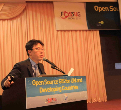
[[ NOVACITE | Junyoung Choi ]]

Name: Junyoung Choi
Job Title: Research Fellow
Company: Seoul Institute of Technology(SIT)
Address: Maebongsan-ro 37
Country: Korea
State: Seoul
City: Mapo-gu
Local Chapter: Korea
Instant Messaging: Skype:Choi-jun-young
Social Media: https://www.facebook.com/junyoung.choi.50159
Coordinate: 37° 34' 33.90" N, 126° 53' 26.00" E
Languages: Korean, English, Basic French(DELF A2), Basic Japanese(Reading)

Experience: OSGeo charter.png OSGeo user.png

Junyoung Choi
Loading map...

[[ Just van den Broecke | Just van den Broecke ]]

Name: Just van den Broecke
Job Title: Open Source Geospatial Professional
Company: Just Objects B.V.
Address: Amstelveen, The Netherlands
Country: The Netherlands
City: Amstelveen
Local Chapter: Dutch
Instant Messaging: Skype: justb4
Social Media: https://twitter.com/justb4
Website: https://justobjects.nl/
Email: just@justobjects.nl
Coordinate: 52° 18' 43.86" N, 4° 51' 10.26" E
Languages: Dutch, English, German, French

Experience: OSGeo coder.png OSGeo charter.png OSGeo user.png OSGeo Committer.png

Just van den Broecke
Loading map...

[[ Just | Just van den Broecke ]]

Name: Just van den Broecke
Job Title: Open Source Geospatial Professional
Company: Just Objects B.V.
Address: Amstelveen, The Netherlands
Country: The Netherlands
City: Amstelveen
Local Chapter: Dutch
Instant Messaging: Skype: justb4
Social Media: https://twitter.com/justb4
Website: https://justobjects.nl/
Email: just@justobjects.nl
Coordinate: 52° 18' 43.86" N, 4° 51' 10.26" E
Languages: Dutch, English, German, French

Experience: OSGeo coder.png OSGeo charter.png OSGeo user.png OSGeo Committer.png

Just van den Broecke
Loading map...