Search results
Jump to navigation
Jump to search
- Metadata Librarian for Geospatial and Scientific Data at Stanford University Libraries86 bytes (11 words) - 09:28, 13 May 2017
- I am expert for spatial data infrastructures and developing deegree since 2012.79 bytes (11 words) - 11:43, 10 August 2016
- I am a Location Data Analyst at Land Information New Zealand.61 bytes (11 words) - 02:34, 5 February 2020
- == Potential for rich digital data sets to support spatial analysis == This data is invaluable for current and future spatial analysis that requires a multi4 KB (570 words) - 16:24, 6 October 2009
- ...w open bugs] that you can work on, either directly related to geographical data or other parts of the platform. Here are some selected ideas (but don't let ** add more geographical data to the pages (e.g. min/max/average altitude, important rivers in the area e1 KB (163 words) - 23:51, 19 June 2013
- ...imber, Sailor, Cycloativist, Geographer, Yogi and passionate by geospatial data & processing.104 bytes (12 words) - 09:08, 4 October 2019
- ...mpliant services such as WFS/WMS etc. for use by anybody who needs spatial data.175 bytes (31 words) - 04:02, 20 September 2006
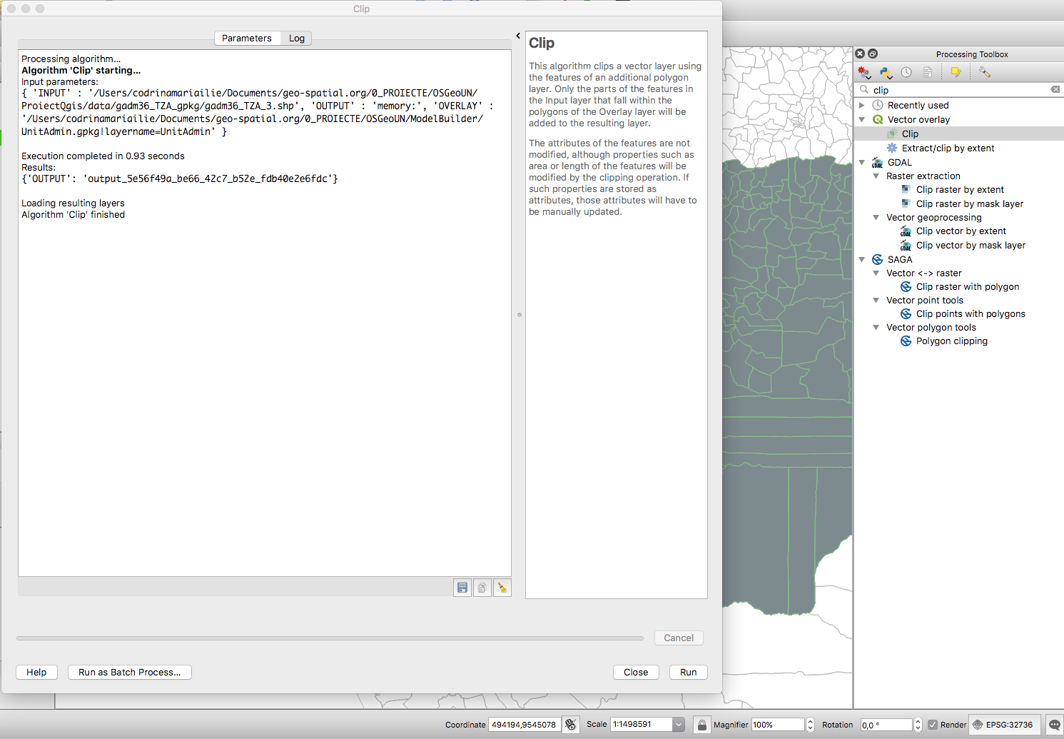
File:Fig2 clip.png Clip tool for vector data identified in the Processing Toolbox through search functionality.(1,491 × 1,035 (303 KB)) - 02:19, 21 January 2019- ...riented data model which provides for the integration of raster and vector data representations in a single environment. SPRING is a product of Brazil's Na #[[File:1_1_13 How to Begin Step 7 Visualize Cadastral Data.odt]]2 KB (265 words) - 14:20, 29 September 2012
- ...ch powers the [https://data.linz.govt.nz LINZ Data Service] and other open data portals. ...vily involved in the open data space in New Zealand, and have worked on NZ data imports and improvements into OpenStreetMap. Have attended and spoke at sev1 KB (184 words) - 00:05, 23 May 2020
- ...based on a human-readable text file format and can be used to exchange CAD data between different programs. We need to design and implement a DXF file pars ...initial work done on a catalog system that would allow this management of data sources to take place, but it has not been fully designed or implemented.4 KB (640 words) - 04:19, 15 March 2007
- ...GIS can be defined as an information system that is designed to work with data referenced by spatial or geographic coordinates ( more definitions). It see * promoting the use and release of publicly available geographic data in the same sense of freedom as for [[Free Software]],2 KB (249 words) - 14:05, 9 November 2007
- ...designing their own culturally appropriate ICT solutions using open source data and tools to address the challenges they face. ...enous FOSS4G Hackathon 2021 will help maximise the social benefits of open data3 KB (349 words) - 07:56, 15 September 2021
- ...on|existing free geodata]] for the community. This comprises re-packaging, data storage in convenient formats, tiling and other. * data are stored on geodata.telascience.org in /geodata/<user>5 KB (701 words) - 07:11, 27 April 2008
- ...Licensing Geographic Data and Services], Committee on Licensing Geographic Data and Services, National Research Council, EEUU. Puede descargarse en PDF de * [http://www.okfn.org/wiki/OpenDataLicensing Guide to Open Data Licensing], Open Knowledge Foundation.5 members (0 subcategories, 0 files) - 03:55, 5 April 2009
- I'm working with GIS data and spatial databases for several years, espcially with OpenSource software101 bytes (15 words) - 03:36, 5 February 2016
- [[Category:Public Geospatial Data Committee]]151 bytes (17 words) - 11:27, 6 October 2007
- Ketty Adoch uses computers and geography data to solve environmental challenges in the community.97 bytes (14 words) - 08:07, 5 November 2018
- FOSS4G 2018 LOC, Open Data expert and activist, HPC lead / Senior Systems Analyst81 bytes (13 words) - 16:29, 15 March 2017
- ...rojects. He has every intention of contributing to the [[Public Geospatial Data Committee]].201 bytes (28 words) - 11:00, 12 October 2007
