File list
Jump to navigation
Jump to search
This special page shows all uploaded files.
| Date | Name | Thumbnail | Size | User | Description | Versions |
|---|---|---|---|---|---|---|
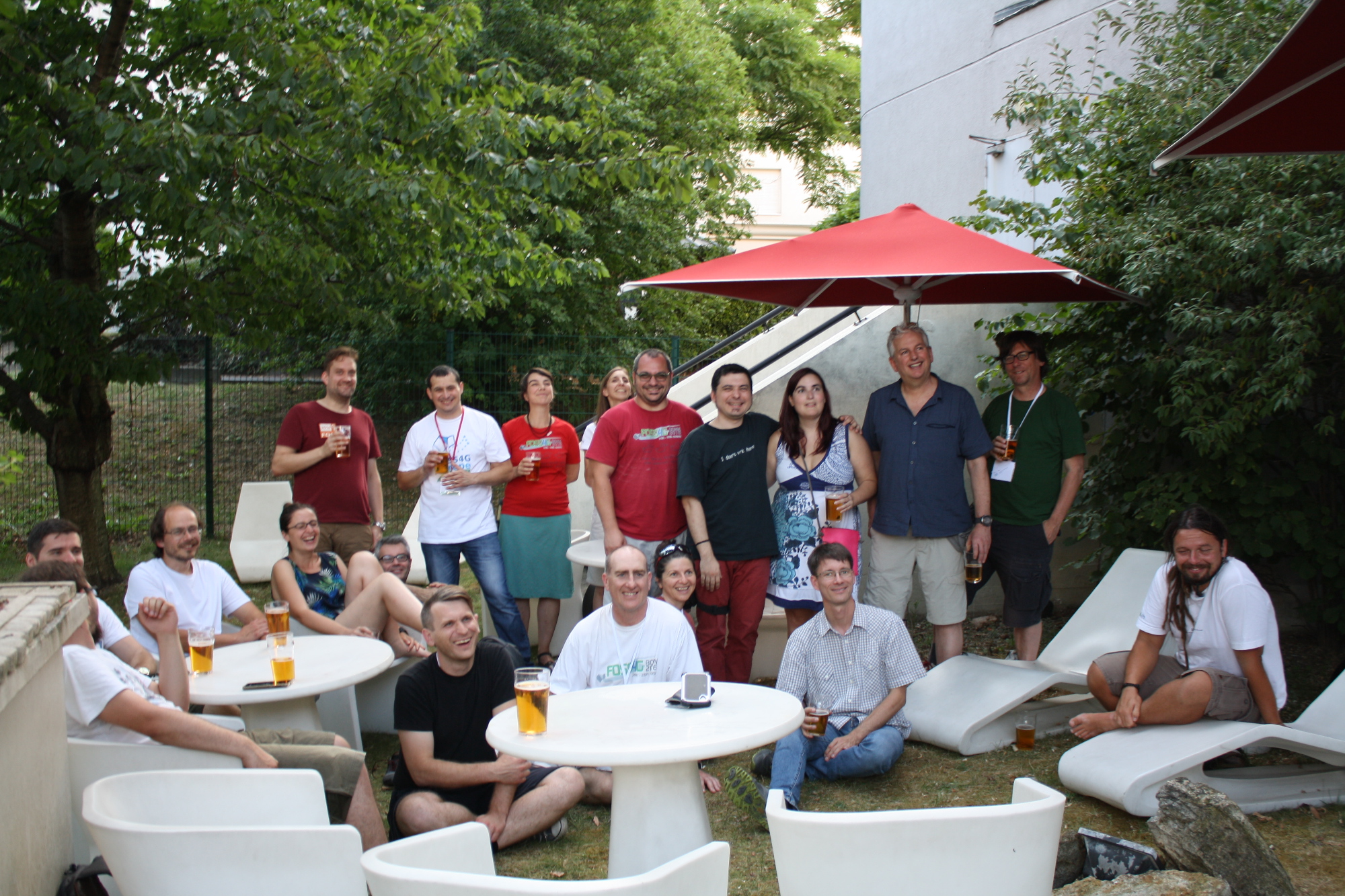
| 21:48, 20 July 2017 | Foss4g-europe-2017-family.jpg (file) |  |
1.27 MB | Jmckenna | FOSS4G Europe 2017 family, taken on 2017-07-18, on the Ibis hotel patio. | 1 |
| 01:04, 25 August 2009 | Geocode.pdf (file) | 1.27 MB | Wiki-Timmie | You want to use Python MapScript to geocode addresses and return a DOQ map with the address plotted on it as a point. Geocoding is very popular these days. Users frequently ask questions on the MapServer list how to incorporate geocoding into existing app | 1 | |
| 02:20, 13 September 2010 | WPS Study.pdf (file) | 1.28 MB | Wiki-Jachym | 1 | ||
| 16:33, 28 March 2011 | SPRINGManual032106p5.odt (file) | 1.28 MB | Elil | 1 | ||
| 23:38, 6 May 2009 | Osgeo cover.png (file) |  |
1.28 MB | Tmitchell | 1 | |
| 03:32, 8 April 2009 | Jorge baptista.PNG (file) |  |
1.3 MB | Wiki-Jsanchez | 1 | |
| 07:09, 7 May 2007 | Camptocamp presentation openlayers.pdf (file) | 1.3 MB | Wiki-Vjourdan | OpenLayers - Une API Javascript ouverte et puissante - Camptocamp - Pierre GIRAUD | 1 | |
| 01:07, 7 June 2023 | Front 1 color square.jpg (file) |  |
1.31 MB | Jesperlarsson | 1 | |
| 07:21, 14 April 2014 | 20140407 OSGeo Code Sprint Vienna 2014 Receipts part1.pdf (file) | 1.33 MB | Wiki-Schpidi | 1 | ||
| 08:35, 15 April 2018 | Osgeo member meeting bonn 2018.jpg (file) |  |
1.33 MB | astrid_emde | 1 | |
| 02:14, 11 June 2019 | Draft Guidelines for Use of ADSARC and MOSSARC Commands 1993.pdf (file) | 1.34 MB | Wiki-Peter.loewe | 1 | ||
| 10:53, 26 July 2018 | Youthmappers-osgeo-mou.jpg (file) |  |
1.34 MB | Jmckenna | Signing of Memorandum of Understanding (MoU) between YouthMappers and OSGeo, on 2018-07-26 | 1 |
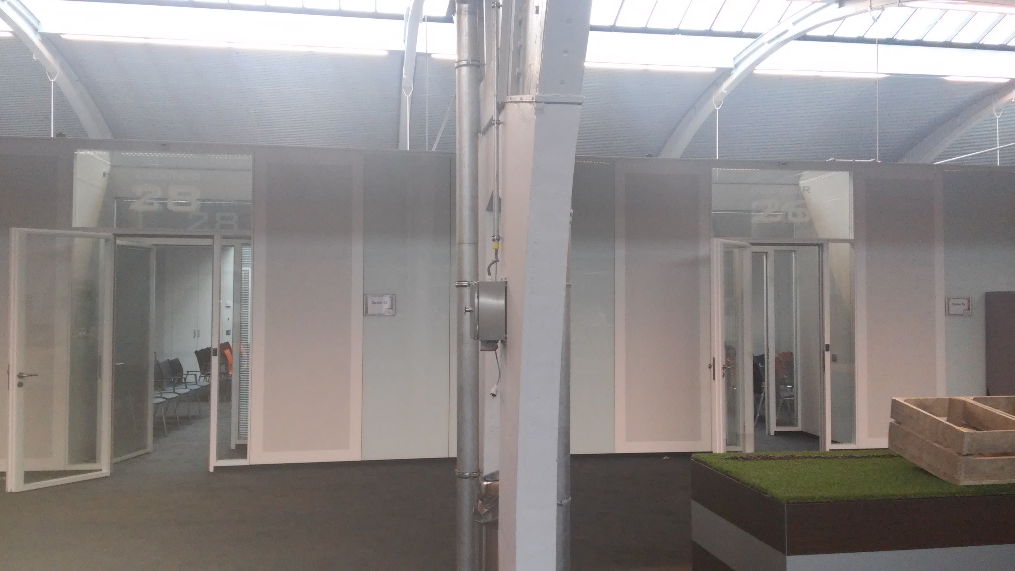
| 07:42, 1 November 2015 | 20151028 133911-1-.jpg (file) |  |
1.36 MB | Wiki-Geejee | Entrance to "Dexter26" and "Dexter28" rooms at "1931" congress center | 1 |
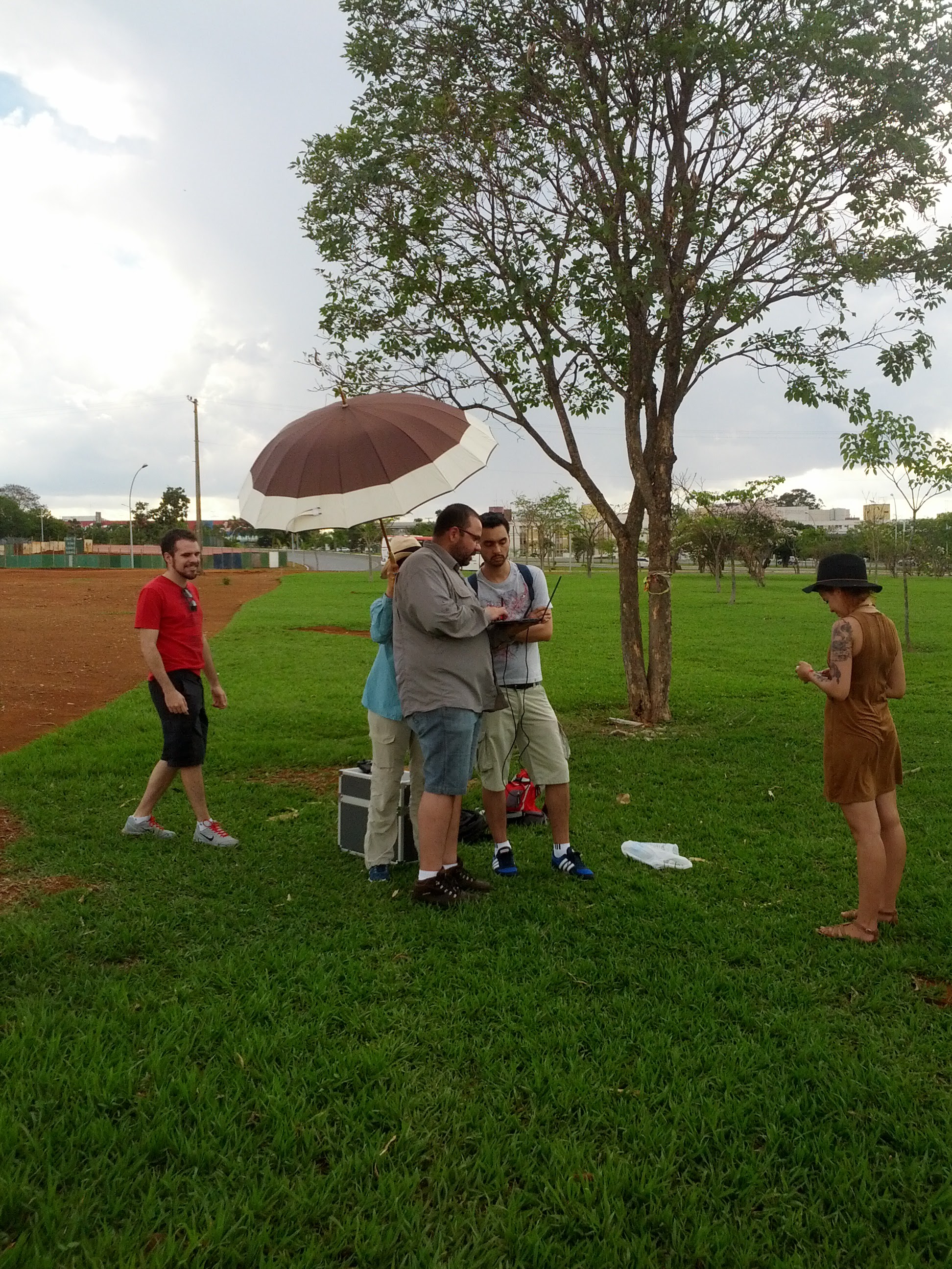
| 12:32, 1 November 2016 | IMG 20161009 155348.jpg (file) |  |
1.36 MB | Wiki-Edmarmoretti | Equipe aprendendo sobre vants | 1 |
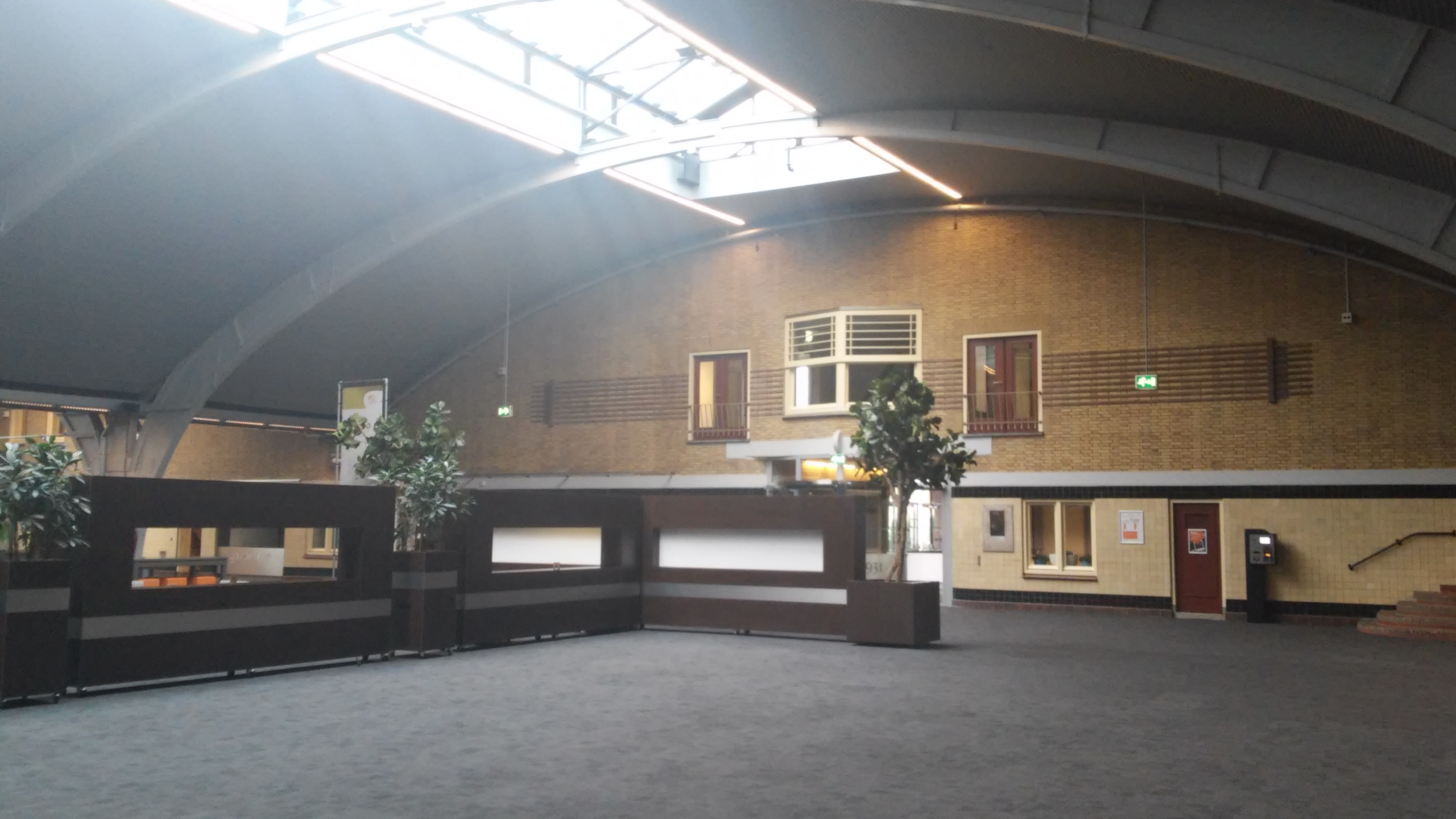
| 07:39, 1 November 2015 | 20151028 132838-1-.jpg (file) |  |
1.36 MB | Wiki-Geejee | main hall at "1931" congress center (Den Bosch - The Netherlands) | 1 |
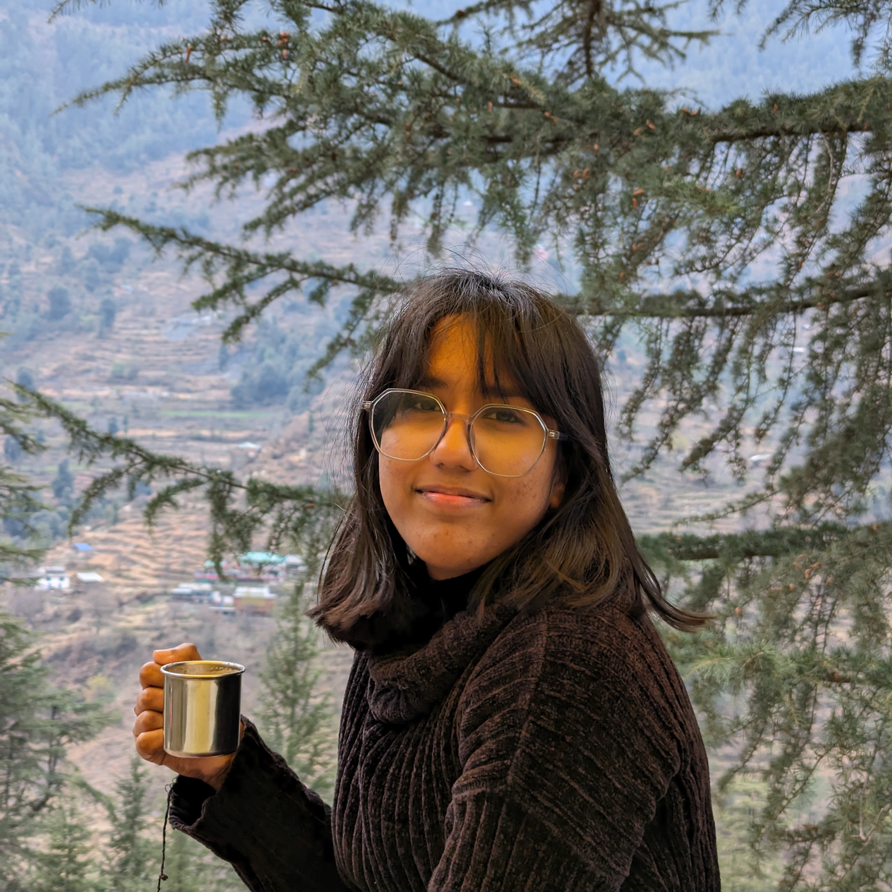
| 11:44, 13 May 2024 | Riya Profile 2.jpg (file) |  |
1.38 MB | 29riyasaxena | 1 | |
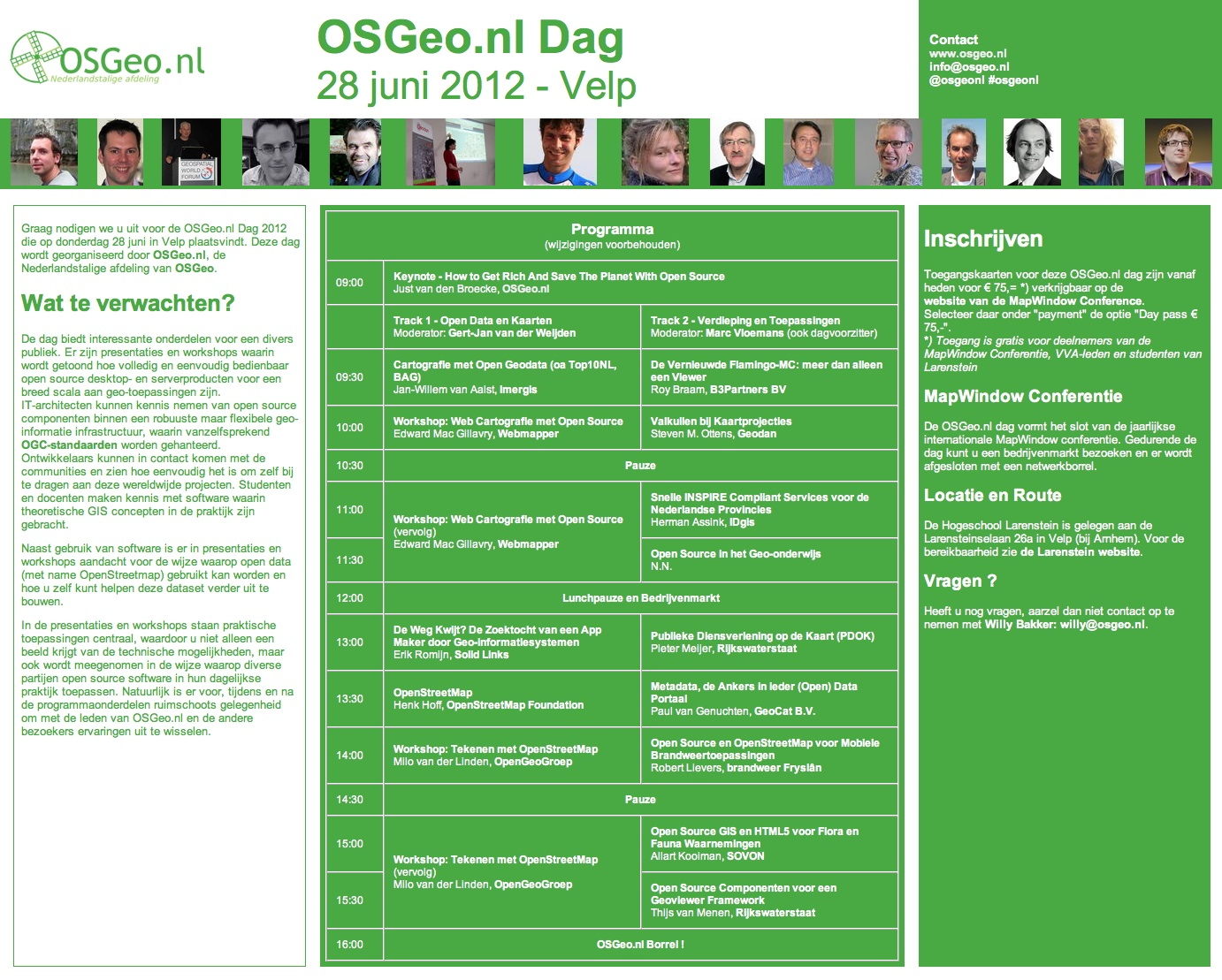
| 11:21, 4 June 2012 | Poster-osgeonl-dag-2012.png (file) |  |
1.4 MB | Just | 2 | |
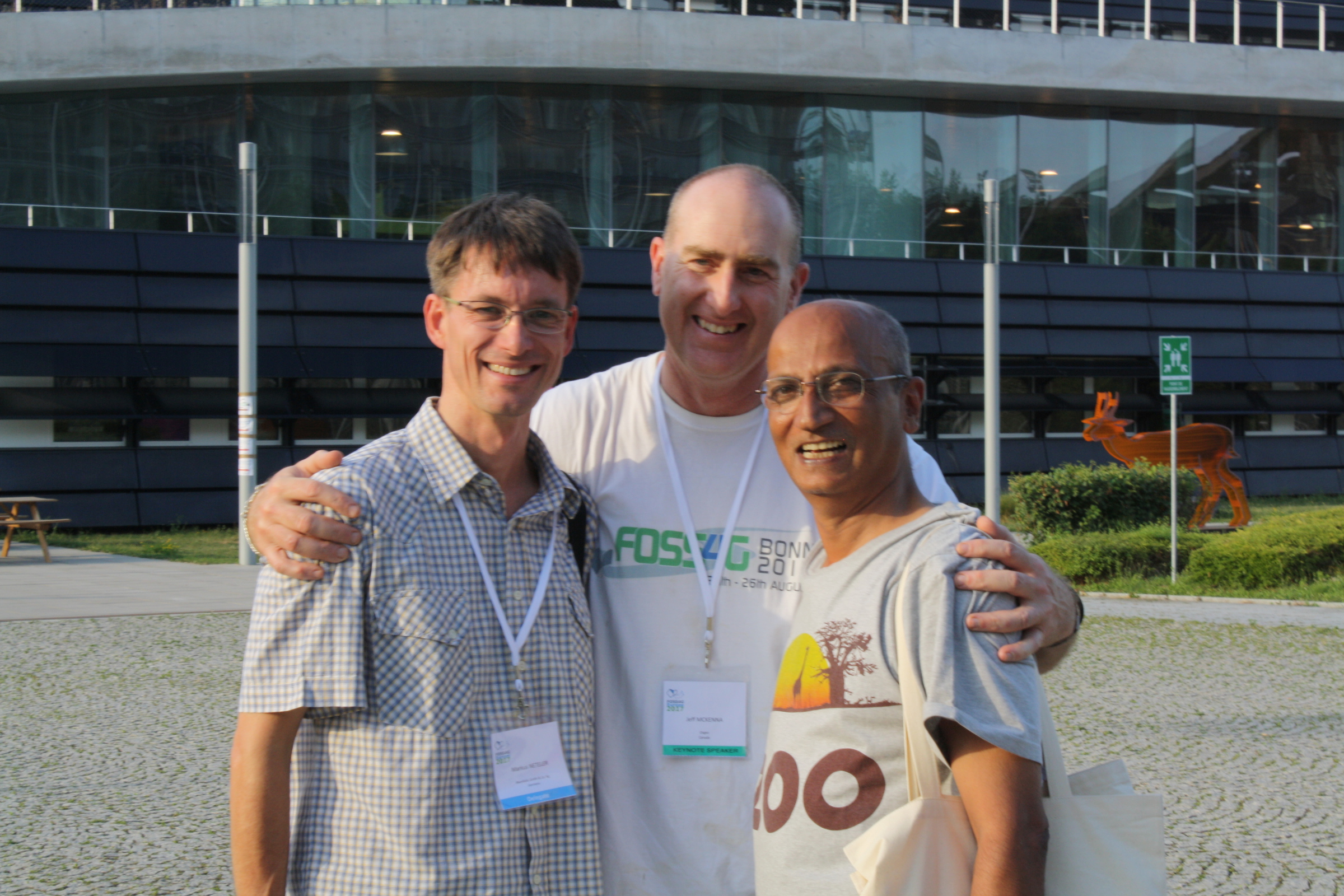
| 11:43, 8 January 2019 | Foss4g-founders.jpg (file) |  |
1.4 MB | Jmckenna | The 3 founders of the global FOSS4G event, (from left to right: Markus Neteler, Jeff McKenna, Venka Raghavan) who first met in Bangkok Thailand in 2004, and discussed creating an annual FOSS4G event, which would then go on to change the entire geo indu... | 1 |
| 00:21, 9 May 2013 | Michogar.jpeg (file) |  |
1.4 MB | Wiki-Michogar | 1 | |
| 07:41, 15 August 2023 | Laura Mugeha.jpg (file) |  |
1.4 MB | LauraMugeha | 2 | |
| 07:44, 15 August 2023 | Laura Mugeha - Headshot.jpg (file) |  |
1.4 MB | LauraMugeha | Professional headshot for personal use | 1 |
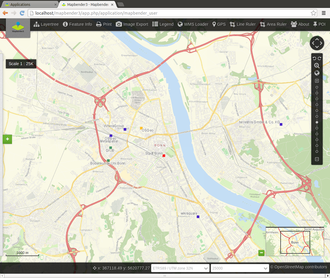
| 23:14, 30 September 2014 | Mapbender3 application.png (file) |  |
1.41 MB | astrid_emde | 1 | |
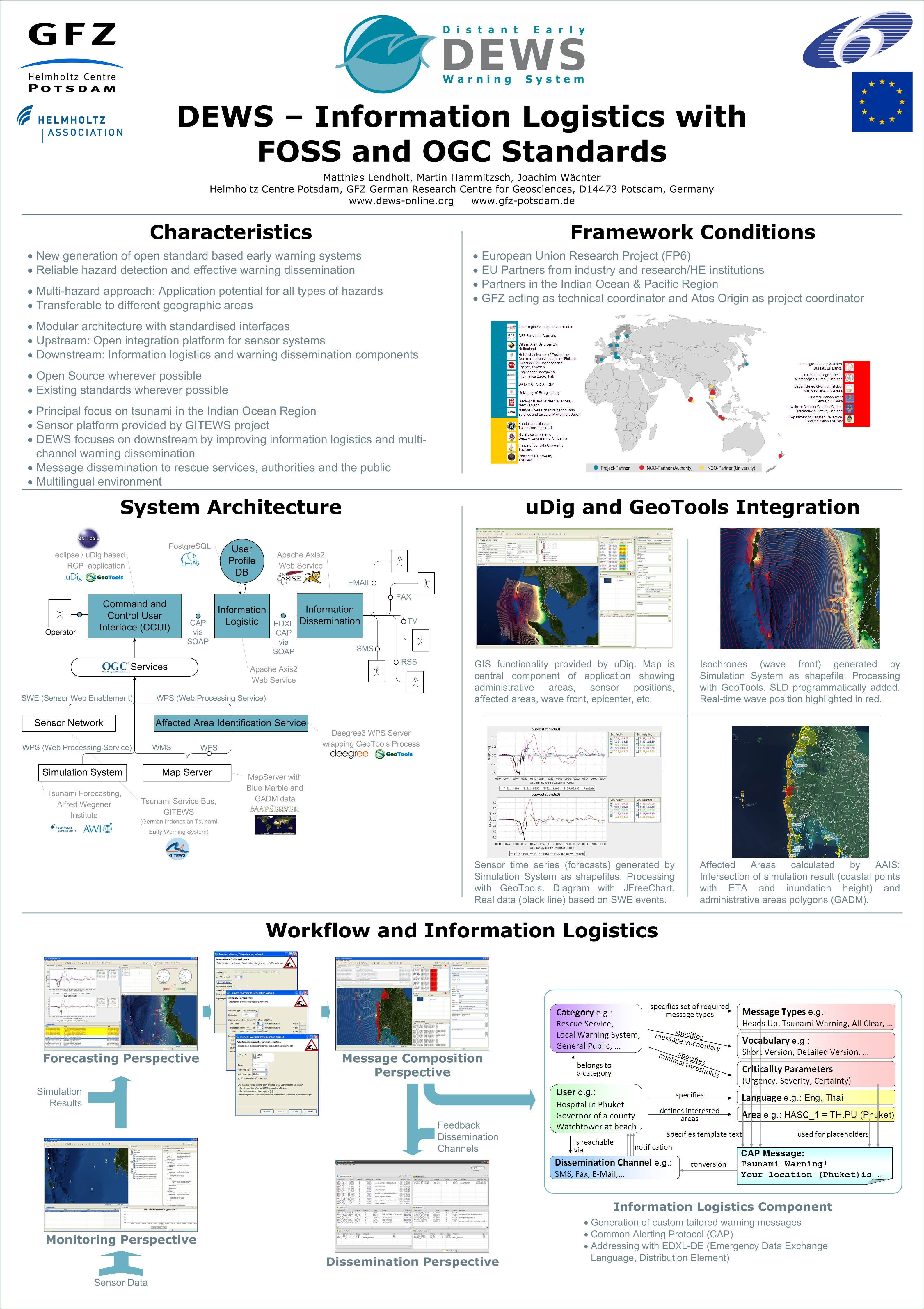
| 01:57, 3 November 2009 | Foss4g2009-dews-poster.jpg (file) |  |
1.41 MB | Wiki-Hammi | 1 | |
| 07:44, 1 November 2015 | 20151028 133945-1-.jpg (file) |  |
1.42 MB | Wiki-Geejee | Dexter26 room at "1931" congress center | 1 |
| 12:13, 26 April 2010 | CampusUofC.png (file) |  |
1.42 MB | Wiki-Perriger | 1 | |
| 09:26, 16 May 2024 | Cmpp.jpg (file) |  |
1.44 MB | Chetanm | 1 | |
| 10:28, 21 September 2006 | Grass6 nutshell2005.pdf (file) | 1.45 MB | Wiki-Dsampson | Our first tutorial event used the "GRASS in a Nutshell" exercise developed by Markus Neteler. Scott Mitchell is compiling some updates to that document, based on the experience of leading a group through it. The result will be posted ASAP, and contributed | 2 | |
| 07:37, 1 November 2015 | 20151028 133051-1-.jpg (file) |  |
1.45 MB | Wiki-Geejee | Course room (with standard LCD screen) at "1931" congress center | 1 |
| 14:42, 2 June 2016 | OSGeo-UCGIS-MoU.pdf (file) | 1.46 MB | Helena | MoU between OSGeo and UCGIS in a single document | 1 | |
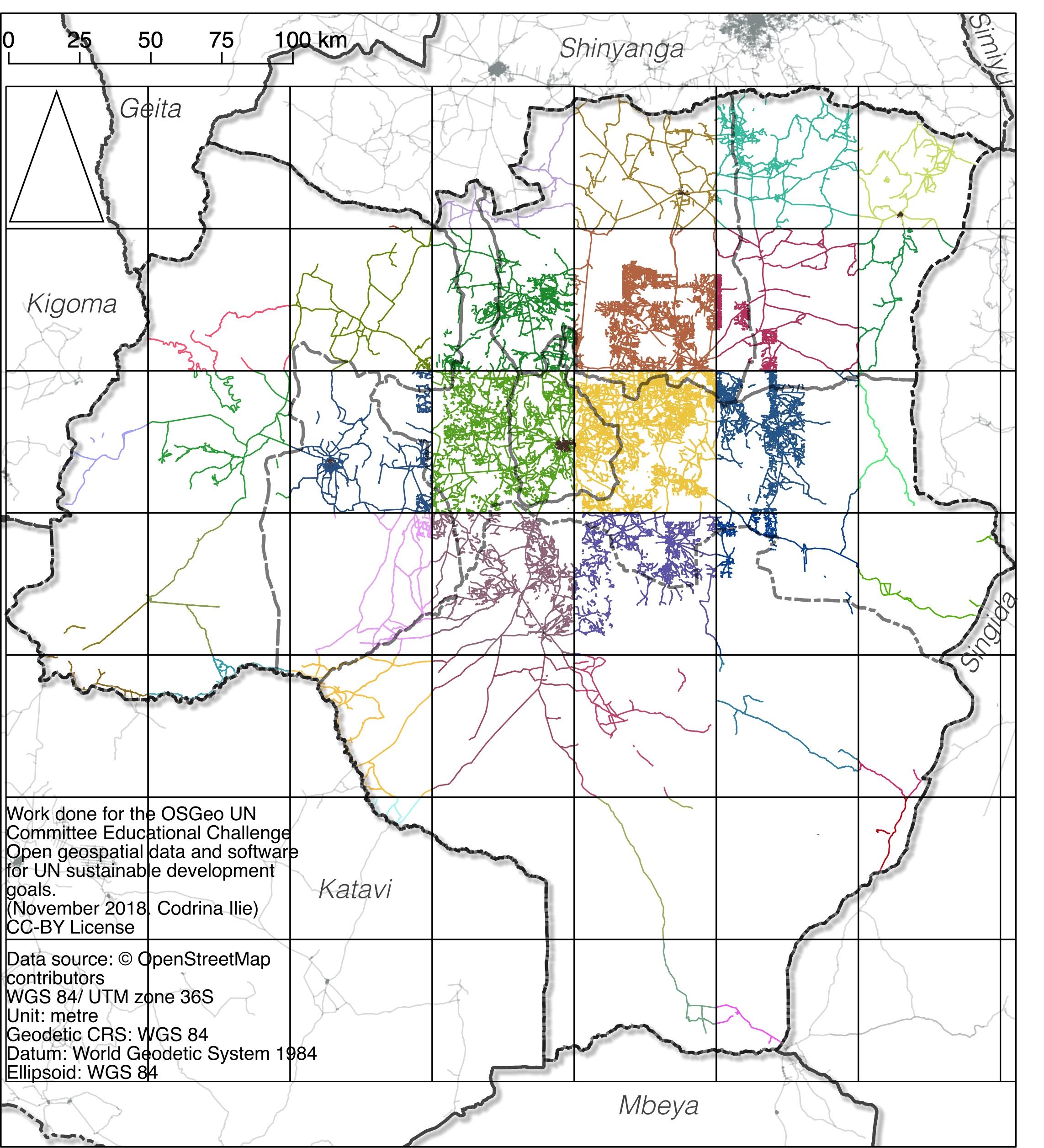
| 03:21, 21 January 2019 | Fig20 roads GRID.jpg (file) |  |
1.47 MB | Codrina | The 50X50KM grid and the corresponding road segments | 1 |
| 09:21, 2 September 2016 | FOSS4G 2016 OSGeo Booth Overview.jpg (file) |  |
1.47 MB | astrid_emde | 1 | |
| 07:07, 7 May 2007 | Camptocamp presentation cartoweb.pdf (file) | 1.49 MB | Wiki-Vjourdan | CartoWeb - un framework de développement PhP pour MapServer - Camptocamp - Pierre GIRAUD | 1 | |
| 09:25, 2 September 2016 | FOSS4G 2016 OSGeo Booth spreading material.jpg (file) |  |
1.5 MB | astrid_emde | 1 | |
| 06:35, 6 April 2016 | Anders hjalmarsson-0181.jpg (file) |  |
1.5 MB | Wiki-AndersHjalmarson | 1 | |
| 23:25, 11 March 2013 | Boston2.jpg (file) |  |
1.5 MB | Robe | 1 | |
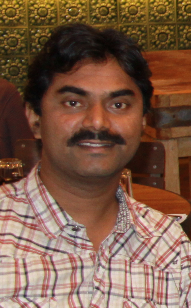
| 01:44, 21 July 2014 | Santosh gaikwad.png (file) |  |
1.53 MB | Wiki-Santy | Santosh Gaikwad | 1 |
| 10:55, 27 June 2018 | 19geoinquietos.png (file) |  |
1.54 MB | Wiki-Pasoriano | Category:Iniciativas_Locales Category:Geoinquietos Córdoba | 1 |
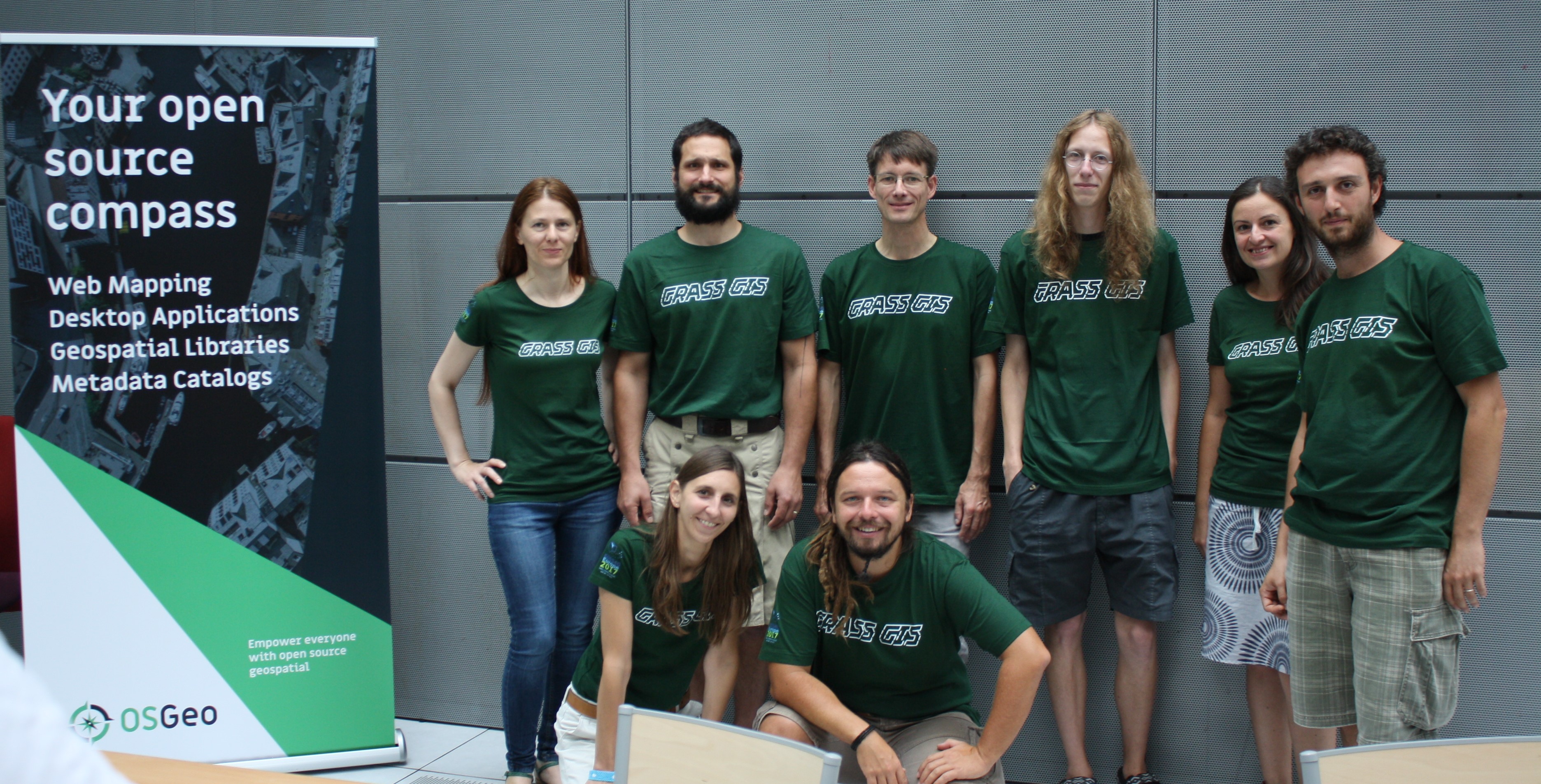
| 14:05, 10 November 2017 | Grass-gis-sprint-team-paris.jpg (file) |  |
1.55 MB | Jmckenna | GRASS GIS sprint team at FOSS4G-Europe, July 2017, in Paris, France. | 1 |
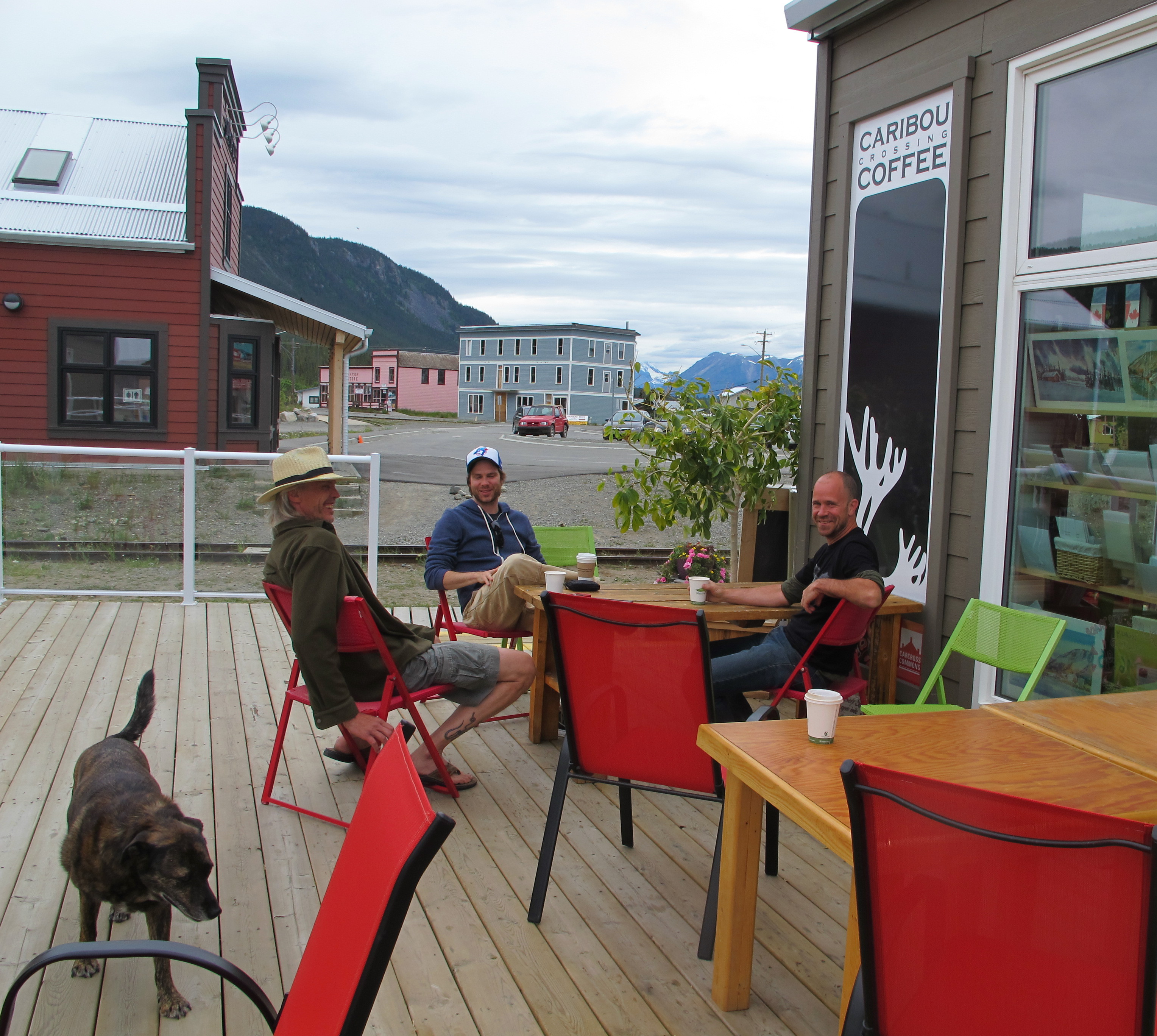
| 03:26, 5 July 2014 | Osgeo-yukon.jpg (file) |  |
1.56 MB | Jmckenna | OSGeo Yukon local chapter meeting! | 1 |
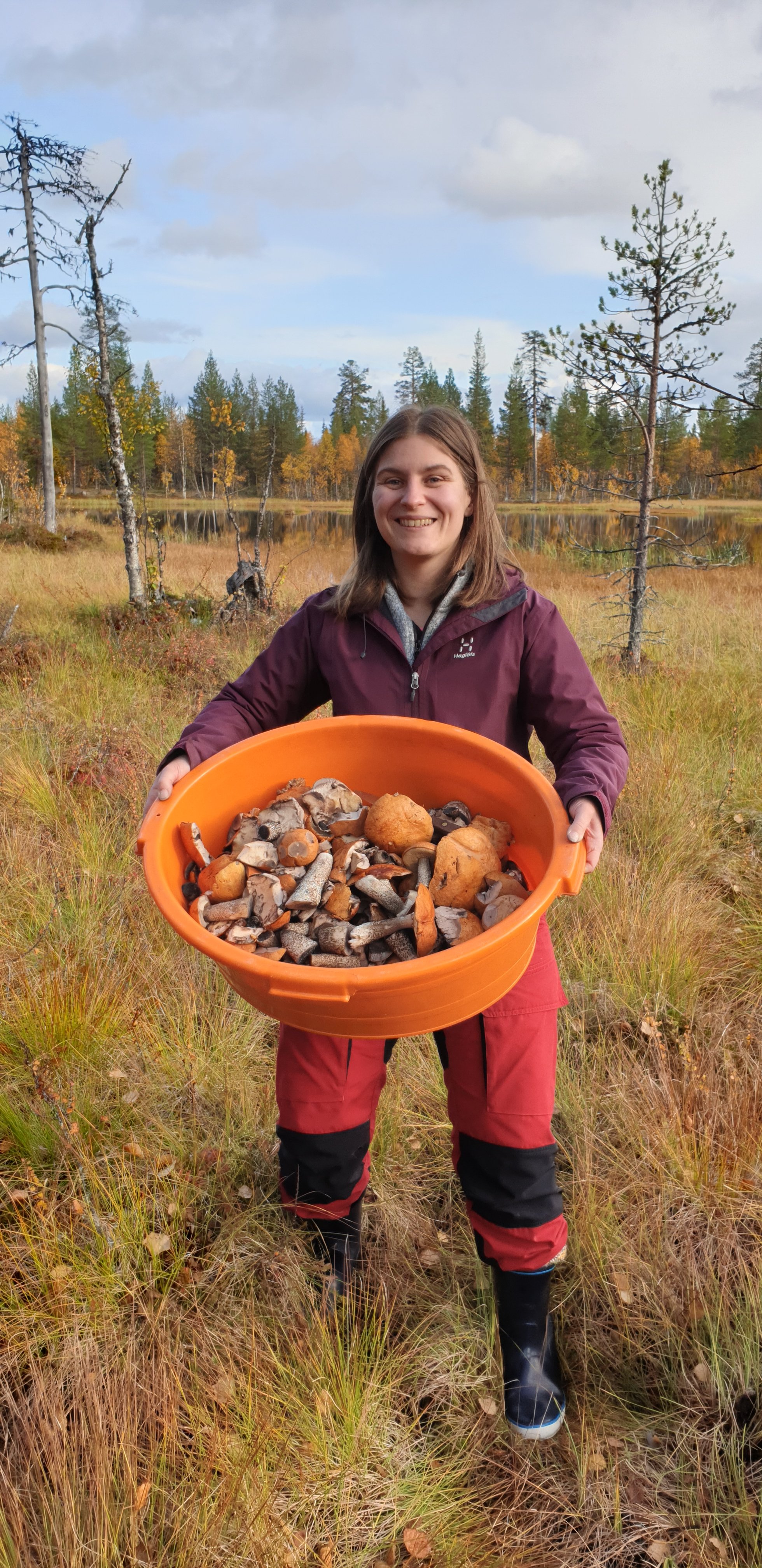
| 02:15, 20 October 2019 | Anne.jpg (file) |  |
1.57 MB | Wiki-Aeylinen | Anne Ylinen picking mushrooms. | 1 |
| 14:01, 21 December 2011 | OC-amicus-AnswerOnMerits.pdf (file) | 1.57 MB | Wiki-Mpg | 1 | ||
| 10:30, 4 September 2016 | FOSS4G 2016 OSGeo Code Sprint by night.jpg (file) |  |
1.61 MB | astrid_emde | 1 | |
| 08:35, 21 June 2016 | Osgeo ie meetup.jpeg (file) |  |
1.62 MB | Wiki-Dmci | 1 | |
| 07:51, 14 April 2018 | MoU-OSGeo-AGU-20180409-signed.png (file) |  |
1.63 MB | Wiki-Peter.loewe | Scan of the signed MoU between OSGeo and AGU | 1 |
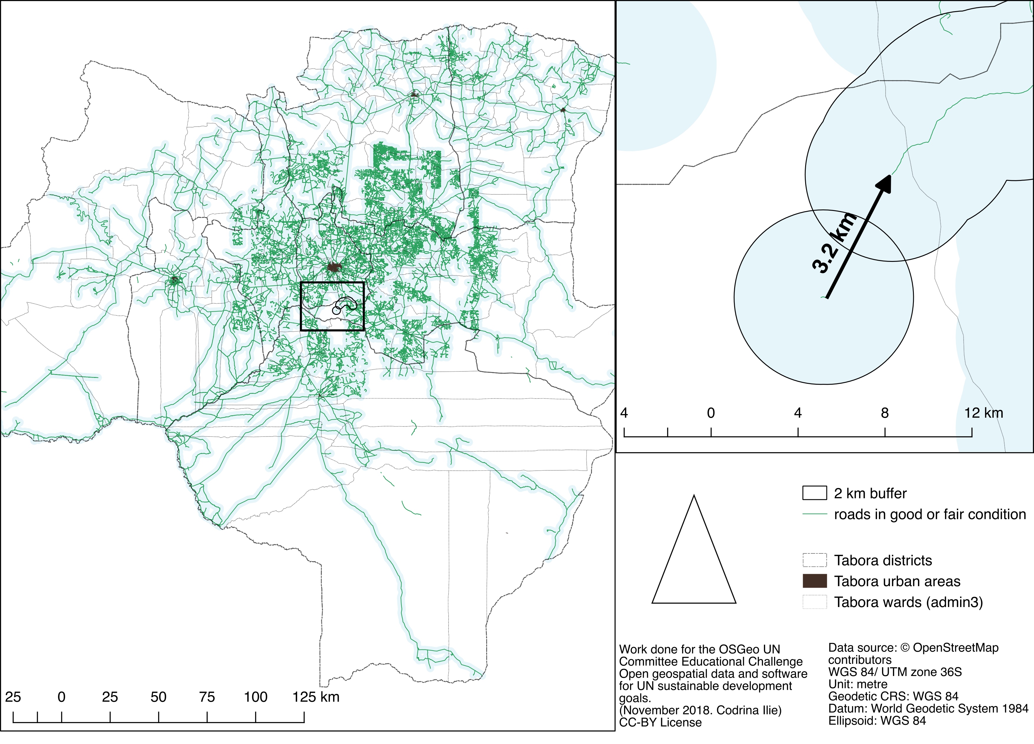
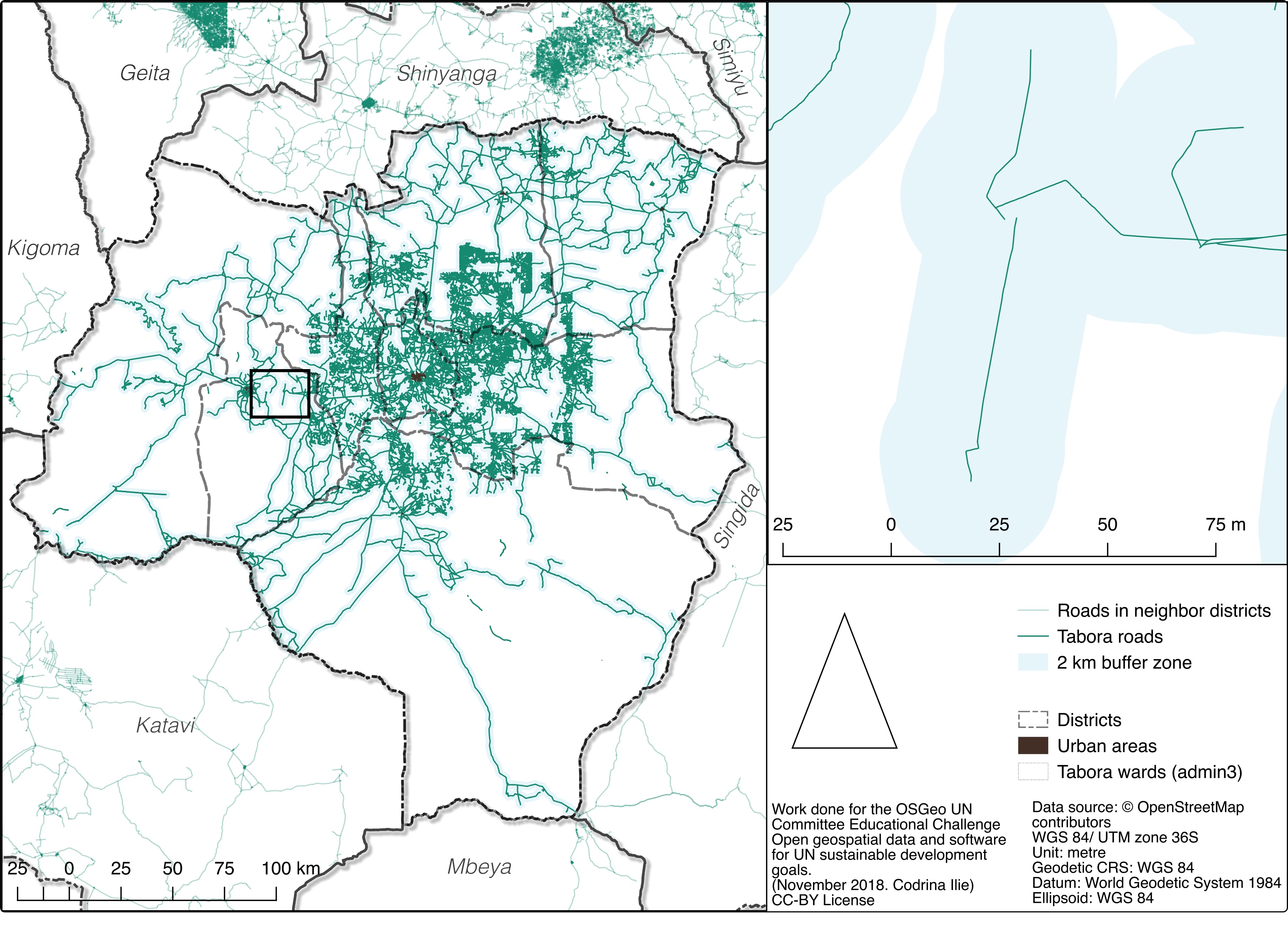
| 03:16, 21 January 2019 | Fig18 buffer-2km.jpg (file) |  |
1.63 MB | Codrina | Exemplification of issues determined by the poor connectivity of road network | 1 |
| 22:43, 25 November 2012 | Padon - Web Mapping with Drupal.pdf (file) | 1.63 MB | Wiki-Maning | 1 | ||
| 10:04, 3 November 2017 | Schedule.jpg (file) |  |
1.63 MB | Wiki-Iamrohith94 | 1 | |
| 07:24, 14 April 2014 | 20140407 OSGeo Code Sprint Vienna 2014 Receipts part3.pdf (file) | 1.63 MB | Wiki-Schpidi | 1 | ||
| 18:45, 21 October 2009 | 04 knudsen.pdf (file) | 1.64 MB | Wiki-Antti | In this poster presentation, we describe how the PINGPONG program (FOSS distributed under the GPL) has been used to implement a quality control procedure for laser scanned DEMs. The approach used is independent of navigational (GPS/INS) data and ground co | 1 | |
| 03:18, 21 January 2019 | Fig19 buffer-2km.jpg (file) |  |
1.64 MB | Codrina | Unconnected road segment to be considered in the Tabora district RAI calculation | 1 |