Difference between revisions of "Markus Neteler"
Jump to navigation
Jump to search
(+pic) |
(+blog, +Professional FOSS4G training courses) |
||
| Line 13: | Line 13: | ||
* [http://www.osgeo.org/content/foundation/solkatz/index.html Sol Katz Award] for 2006 | * [http://www.osgeo.org/content/foundation/solkatz/index.html Sol Katz Award] for 2006 | ||
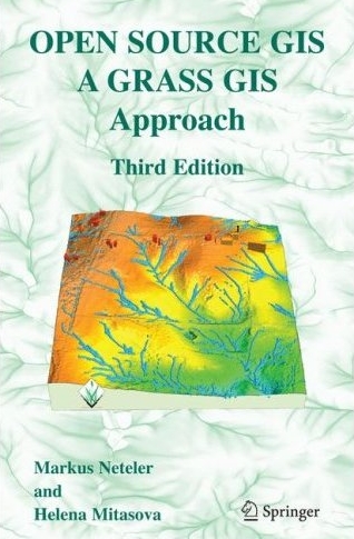
* First book on Open Source GIS: [[Image:GRASS book 2008.jpg|80px]] http://www.grassbook.org | * First book on Open Source GIS: [[Image:GRASS book 2008.jpg|80px]] http://www.grassbook.org | ||
| + | * [http://blog.neteler.org/ GFOSS blog] | ||
| + | * [http://courses.neteler.org/ Professional FOSS4G training courses] | ||
Contact [http://www.grassbook.org/neteler/ Markus Neteler] or 'neteler*osgeo.org' | Contact [http://www.grassbook.org/neteler/ Markus Neteler] or 'neteler*osgeo.org' | ||
Revision as of 07:00, 8 September 2013
Markus Neteler {{#umSetParam: 11.13532|46.19281|Fondazione E. Mach, Trento|Neteler|Markus Neteler}}
- employee at Fondazione E. Mach, Trento, Italy - head of GIS and RS Unit
- OSGeo.org - member of the Board of Directors (2006-2011) and of some committees since 2006
- chair of the GRASS PSC
- spending too much time on GRASS GIS :)
- co-founder of GDF Hannover, Germany
- co-founder and member of FOSSGIS.de (formerly GRASS-Anwender-Vereingung e.V. - GAV), D-A-CH and GFOSS.it, Italy
- Sol Katz Award for 2006
- First book on Open Source GIS:
 http://www.grassbook.org
 - GFOSS blog
- Professional FOSS4G training courses
Contact Markus Neteler or 'neteler*osgeo.org'
- OSGeo Experience
What's hot:
- http://tinyurl.com/tree-four-freedoms - "Let the four freedoms paradigm apply to ecology" - letter to Trends in Ecology & Evolution, Volume 27, Issue 6, 310-311, 20 April 2012
- Neteler, M., Bowman, M.H., Landa, M. and Metz, M. (2012): GRASS GIS: a multi-purpose Open Source GIS. Environmental Modelling & Software, 31: 124-130 (DOI)
- Neteler, M., Roiz, D., Rocchini, D., Castellani, C. and Rizzoli, A. (2011). Terra and Aqua satellites track tiger mosquito invasion: modeling the potential distribution of Aedes albopictus in north-eastern Italy. International Journal of Health Geographics, 10:49 (PDF)
My goals 2010-2011 (as a director)
Ex post note: I could not realize all my goals in my years of being a director (since 2006), so please pick 'em up!
- Board:
- [✓] Extend the OSGeo mission statement: add "collaborative"
- consider a MoU with OpenStreetMap Foundation to clarify relationship for people outside of communities
- consider two F2F board of directors meetings per year
- discuss charter member fee (as most organizations worldwide have incl. OSGeo local chapters)
- Conference
- run two conferences per year in different parts of the world rather than targeting at 2000 participants. One could be the current conference, the other more workshop oriented (Geoff Zeiss: make that topic oriented)
- Marketing
- Edu Marketing reachout initiative - better advertise the multi-language Edu portal
- Data
- Geodata committee: fill the raster niche (as OSM does for vector data) - e.g. by supporting http://openaerialmap.org
- Business
- Service providers directory: better support individual freelancers
- consider to establish a FOSS4G "engineer" certificate (which can even generate revenue for OSGeo)
- Community
- better link OSGeo int'l and local chapters (basically poor performance of many OSGeo liason officers. Maybe tag important messages and send to new local-chapters list?)
- [✓] promote a spatially more representative charter membership structure: elections went into this direction, see: Board of Directors Report 2011
- Microdonations - don't ignore the small money! (really, we need a better framework for that)
- OSGeo Python Library (Software stack)
- OSGeo Cartographic Library (Software stack)
- OSGeo map symbol set (Software stack)
- OSGeo Multilanguage Dictionary (Education) -
prototype - Software Translation Portal (Software stack)
- OSGeo book shop (see Template:Books) <-- in Drupal, please, complete at http://www.osgeo.org/books
Done
- [✓] Started Open Source GIS History article
- [✓] Get Postgrey installed for lists.osgeo.org (combat spam on lists.osgeo.org)
- [✓] Italiano - OSGeo local chapter
- [✓] First OSGeo Educational data set
- [✓] GRASS Incubation
{{#umUserMap: Neteler|300px|300px|9|2}}

