Semantic search

Jump to navigation Jump to search

[[ Pedromap | Pedro Pereira ]]

Name: Pedro Pereira
Job Title: IT and GIS Technician
Company: CMGuimarães
Country: Portugal
City: Guimarães
Local Chapter: Portugal
Email: pedromap@gmail.com
Coordinate: 41° 26' 38.87" N, 8° 17' 34.22" W


Experience: OSGeo charter.png OSGeo user.png

Pedro Pereira

Pedro is a Geographer and works as a IT and GIS Technician in the Municipality of Guimarães - Portugal.

Loading map...

[[ Pvanbosgeo | Paulo van Breugel ]]

Name: Paulo van Breugel
Company: HAS University of Applied Science
Country: The Netherlands
City: 's-Hertogenbosch
Local Chapter: Dutch
Social Media: https://pvanb.wordpress.com/
Website: http://ecodiv.earth
Coordinate: 51° 43' 20.68" N, 5° 14' 59.74" E
Languages: Dutch, English, Portugues

Experience: OSGeo coder.png OSGeo charter.png OSGeo user.png

Paulo van Breugel

My main research interests are forest and landscape ecology, biogeography, and conservation and sustainable use of biodiversity and natural resources. I have worked for international research (Bioversity, ICRAF, ILRI) institutes in Syria, Brazil and Kenya. I am currently working as freelance researcher on ecology & biodiversity and GIS/spatial analyst.

Loading map...

[[ Pwramsey3 | Paul Ramsey ]]

Name: Paul Ramsey
Job Title: Geospatial Architect
Company: Boundless
Country: Canada
State: British Columbia
City: Victoria
Local Chapter: British Columbia Chapter
Coordinate: 48° 25' 40.80" N, 123° 21' 50.40" W


Experience: OSGeo coder.png OSGeo charter.png OSGeo exboard.png OSGeo user.png OSGeo SolKatz.png

Paul Ramsey
Loading map...

[[ Pmeems | Paul Meems ]]

Name: Paul Meems
Job Title: Product manager Open-Source GIS and Sr. GIS Consultant
Company: TopX Geo-ICT
Country: The Netherlands
City: Hoogezand
Local Chapter: OSGeo.NL
Instant Messaging: http://nl.linkedin.com/in/paulmeems/
Social Media: https://twitter.com/mapwindow nl
Coordinate: 53° 9' 47.11" N, 6° 43' 35.00" E
Languages: Dutch, English

Experience: OSGeo coder.png OSGeo charter.png OSGeo user.png

Paul Meems
Loading map...

[[ Pablodab | Paolo Dabove ]]

Name: Paolo Dabove
Job Title: Associate Professor
Company: Politecnico di Torino - Department of Environment, Land, and Infrastructure Engineering (DIATI)
Address: Corso Duca Degli Abruzzi 24
Country: Italiano
City: Turin
Local Chapter: Italiano
Instant Messaging: Skype: pablodab
Email: paolo.dabove@polito.it
Phone: +39-0110907662
Coordinate: 45° 3' 44.86" N, 7° 39' 44.82" E
Languages: Italian, English

Experience: OSGeo user.png

Paolo Dabove

Paolo has been Associate Professor at Politecnico di Torino since 2021. His principal research interests are in quality control of GNSS positioning, monitoring techniques with Geomatics instruments, low-cost INS and GNSS systems for mobile mapping, and indoor positioning for navigation purposes. Paolo Dabove has over 60 scientific papers in international and Italian journals and proceedings and also has five book chapters in international books. He has been the President of the GFOSS.it association, the Italian OSGeo Local Chapter, since February 2020.

ORCID: http://orcid.org/0000-0001-9646-523X Google Scholar: https://scholar.google.com/citations?user=ewFGj3kAAAAJ&hl=it&oi=ao

Loading map...

[[ Olt | Oliver Tonnhofer ]]

Name: Oliver Tonnhofer
Job Title: Software Engineer
Company: Omniscale
Country: Germany
City: Oldenburg
Local Chapter: FOSSGIS e.V.
Website: http://omniscale.de/
Coordinate: 53° 8' 15.86" N, 8° 13' 1.96" E
Languages: English, German

Experience: OSGeo coder.png OSGeo user.png

Oliver Tonnhofer
Loading map...

[[ Olivermay | Oliver May ]]

Name: Oliver May
Job Title: Product owner
Company: Flemish government agency: Digitaal Vlaanderen
Country: Belgium
City: Gent
Local Chapter: Belgium
Email: oliver.may@geomajas.org
Coordinate: 51° 3' 13.50" N, 3° 43' 24.32" E
Languages: Dutch, English, French

Experience: OSGeo coder.png OSGeo psc.png OSGeo charter.png OSGeo user.png

Oliver May
Loading map...

[[ Nyall Dawson | Nyall Dawson ]]

Name: Nyall Dawson
Job Title: Lead Developer/Proprietor
Company: North Road Consulting Pty Ltd
Country: Australia
State: QLD
City: Brisbane
Local Chapter: Aust-NZ
Social Media: https://twitter.com/nyalldawson
Website: https://north-road.com/
Email: nyall@north-road.com
Coordinate: 26° 41' 35.54" S, 153° 6' 33.12" E
Languages: English

Experience: OSGeo coder.png OSGeo charter.png OSGeo user.png OSGeo Committer.png

Nyall Dawson

Nyall has been a core developer with the QGIS project since 2013. During this time he has contributed over 5000 commits to the project, and today is one of the most active developers on the project. Nyall's contributions to QGIS cover a wide range of areas - from improvements to the map rendering and symbology engines, enhancements to labeling and print layout functionality, right through to optimisations of the underlying spatial processing algorithms utilised by QGIS. He is dedicated to making QGIS a unique tool capable of creating cartographic effects which to date have not been available in GIS software applications.

Nyall is currently the proprietor and lead developer at North Road Consulting, an Australian spatial development consultancy which predominantly focus on investing in and promoting use of open source GIS applications.

Loading map...

[[ Nuno Oliveira | Nuno Oliveira ]]

Name: Nuno Oliveira
Job Title: Software Engineer
Company: GeoSolutions
Country: Portugal
City: Celorico de Basto
Local Chapter: Portugal
Instant Messaging: Skype: nmcarvalhooliveira
Social Media: http://www.linkedin.com/in/nuno-oliveira-geo
Website: http://www.geo-solutions.it/
Email: nmco51845@gmail.com
Coordinate: 41° 23' 28.83" N, 7° 59' 55.20" W
Languages: English, Portuguese, French

Experience: OSGeo coder.png OSGeo charter.png OSGeo user.png OSGeo Committer.png

Nuno earned his BS and MS in Software Engineering from University of Minho. He started is career in the telecommunications industry by developing solutions for managing and monitoring telecommunications infrastructures. Currently he works at GeoSolutions were he develops advanced solutions for GIS challenges using open source software. In the last years he focused on distributed systems, big data technologies and GIS. He contributes to several open source projects and is a commiter of GeoServer, MapStore and GeoTools.

Loading map...

[[ Nobusuke Iwasaki | Nobusuke Iwasaki ]]

Name: Nobusuke Iwasaki
Job Title: Senior Researcher
Company: National Institute for Agro-Environmental Sciences
Country: Japan
City: Tsukuba
Local Chapter: Japan
Instant Messaging: Skype: wata909
Website: http://cse.niaes.affrc.go.jp/niwasaki/
Coordinate: 36° 6' 43.20" N, 140° 4' 26.40" E


Experience: OSGeo user.png

Nobusuke Iwasaki
Loading map...

[[ Nimalika | Nimalika Fernando ]]

Name: Nimalika Fernando
Company: OSGeo Lab of SLIIT , Sri Lanka
Country: Sri Lanka
City: Colombo
Social Media: http://mrt.academia.edu/NimalikaFernando, http://www.linkedin.com/pub/nimalika-fernando/13/828/53b
Coordinate: 6° 54' 10.60" N, 79° 51' 39.87" E
Languages: Sinhala, English

Experience: OSGeo charter.png OSGeo user.png

Nimalika Fernando

Nimalika has moved to Open source GIS in 2006 as a novice user and application developer in her research studies related to web-mapping. Since then she has been involved in adopting OSGeo tools in teaching, research and spreading the use of them (particularly QGIS, MapServer, PostgreSQL, OSM ) in Sri Lanka. She is interested in integrating open source GIS solutions in solving locally important problems and linking different organizations with OSGeo products. she is an academic with more than 14 years experience. At present she is a Phd candidate at Curtin University, Perth, Australia

Loading map...

[[ Nikos Alexandris | Nikos Alexandris ]]

Name: Nikos Alexandris
Country: Italiano
City: Cadrezzate;
Instant Messaging: skype nikos.alexandris
Social Media: https://github.com/NikosAlexandris, https://gitlab.com/NikosAlexandris, https://twitter.com/#!/NikAlexandris
Website: http://nikosalexandris.net/xpress
Languages: Ελληνικά, Deutsch, English, Français

Experience: OSGeo coder.png OSGeo charter.png OSGeo user.png OSGeo Committer.png

Nikos Alexandris

- Contributed GRASS-GIS Add-Ons:

  • Talks in FOSSCOMM 2014, in Greek, about "Προ-Επεξεργασία Δορυφορικών Εικόνων Υψηλής Ανάλυσης με το GRASS-GIS, Παράδειγμα Χρησιμοποιώντας Εικόνες QuickBird2", Lamia, Greece

(Feb - Mar. 2014)

  • Talks about GRASS-GIS in TERI University, Delhi, India
  • Talks about GRASS-GIS in Kurukshetra University, Kurukshetra, India
  • Held a workshop titled "Processing High Resolution Satellite Imagery with GRASS-GIS, An Example Using QuickBird2 Imagery" in Kurukshetra University, Kurukshetra, India
Loading map...

[[ Bakaniko | Nicolas Roelandt ]]

Name: Nicolas Roelandt
Job Title: GIS Engineer
Company: Univ. Gustave Eiffel
Country: France
City: Bron
Local Chapter: Francophone OSGeo Chapter
Social Media: http://Roelandtn42 (twitter)
Coordinate: 45° 44' 9.60" N, 4° 55' 33.60" E
Languages: French, English

Experience: OSGeo psc.png OSGeo charter.png OSGeo user.png OSGeo Committer.png

Nicolas Roelandt
Loading map...

[[ NathanW | Nathan Woodrow ]]

Name: Nathan Woodrow
Job Title: Technical Consultant/QGIS Specialist
Company: Digital Mapping Solutions
Country: Australia
City: Warwick
Local Chapter: Aust-NZ
Instant Messaging: Skype: madmanwoo
Social Media: https://twitter.com/madmanwoo, https://plus.google.com/109990125267312011029, http://www.linkedin.com/in/nathanw
Website: http://nathanw.com/
Coordinate: 28° 12' 45.77" S, 152° 1' 55.83" E
Languages: English

Experience: OSGeo coder.png OSGeo user.png

Nathan Woodrow

Nathan is a active core developer and promoter of QGIS. He is an advocate of using open source solutions in local government, promoting its use to save money, add flexibility in workflows, and allow greater freedom from vendor lock in.

Loading map...

[[ Msilikale05 | Msilikale Msilanga ]]

Name: Msilikale Msilanga
Job Title: GeoSpatial Consultant
Company: World Bank
Address: Manzese Tip Top - Dar es Salaam
Country: Tanzania
City: Dar es Salaam
Local Chapter: FOSSGIS e.V.
Instant Messaging: msilikalemsilanga
Social Media: https://twitter.com/msilikale05
Website: http://msilikalemsilanga.wordpress.com
Email: msilikalemsilanga@gmail.com
Coordinate: 6° 48' 58.79" S, 39° 16' 35.90" E
Languages: Swahili, English, Spanish

Experience: OSGeo user.png

Msilikale Msilanga

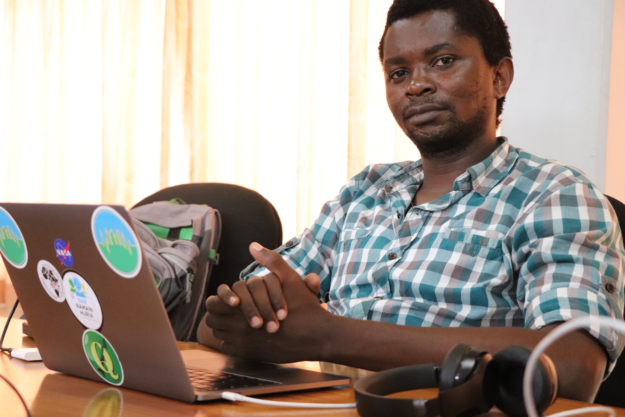
Msilikale Msilanga is a spatial planner by professional from Tanzania but have more experiences from Europe and Latin America based on the same field. He has been working at the World Bank since 2011 as the Geospatial consultant before he went to have his Masters for two years. Now he is back at the World Bank supporting the open data team and more mapping projects in Tanzania Zambia and Mozambique. For more than five years, he has been working with the local communities in Dar es salaam helping them to map their own areas using OSM. Through these maps which are mostly in the informal settlements, more issues facing the community has been identified and more projects have been identified one of them being Ramani Huria. He is currently a Co-chair for FOSS4G 2018 which will be conducted in Dar es Salaam in 2018.

Loading map...

[[ Thomas Starnes | Mr Thomas Starnes ]]

Name: Mr Thomas Starnes
Job Title: Key Biodiversity Areas Programme Officer
Company: International Union for Conservation of Nature
Address: David Attenborough Building, Pembroke Street
Country: United Kingdom
State: Cambridgeshire
City: Cambridge
Local Chapter: FOSSGIS e.V.
Social Media: http://@bio carta
Email: thomas.starnes@iucn.org
Coordinate: 52° 12' 12.96" N, 0° 7' 12.76" E
Languages: English

Experience: OSGeo charter.png OSGeo user.png

Spatial analyst committed to wildlife conservation and humanitarian causes. Interests in remote sensing, drones, AI, open data and data sharing.

Loading map...

[[ Mlennert | Moritz Lennert ]]

Name: Moritz Lennert
Job Title: Secrétaire général
Company: Changements pour l'égalité
Country: Belgium
City: Brussels
Local Chapter: Belgium
Website: https://changement-egalite.be
Coordinate: 50° 48' 46.30" N, 4° 22' 55.88" E
Languages: English, German, French, Spanish, Dutch

Experience: OSGeo coder.png OSGeo charter.png OSGeo user.png OSGeo Committer.png

Moritz Lennert

After 23 years of activity in geography, GIS and remote sensing, both in academia and in a private company, Moritz has moved to other horizons and now works on social inequalities and their reproduction through school. Even though he now is pretty removed from GIS work, he continues to follow GRASS GIS development and remains available should the need arise.

Loading map...

[[ Zia | Mohammed Zia ]]

Name: Mohammed Zia
Job Title: Geospatial Develope
Company: CGG Satellite Mapping
Address: Crompton Way
Country: United Kingdom
State: West Sussex
City: Crawley
Local Chapter: OSGeo UK
Website: https://www.linkedin.com/in/zia33
Email: mohammed.zia33@gmail.com
Coordinate: 51° 7' 35.70" N, 0° 10' 55.11" W
Languages: Python, JavaScript, SQL, NoSQL

Experience: OSGeo coder.png OSGeo charter.png OSGeo user.png

Mohammed Zia

Zia is a full-time employee at the Satellite Mapping Team at CGG UK Ltd., working as a Geospatial Developer.

Loading map...

[[ Mapanauta | Miriam Gonzalez aka Mapanauta ]]

Name: Miriam Gonzalez aka Mapanauta
Job Title: Co-Founder
Company: Geochicas
Country: Mexico
State: Mexico
City: Mexico
Social Media: http://@mapanauta
Website: https://wiki.osgeo.org/wiki/mapanauta
Email: mapanauta@gmail.com
Coordinate: 19° 24' 34.22" N, 99° 10' 34.90" W
Languages: English, Español, Portuguese, Français

Experience: OSGeo user.png

Loading map...

[[ Milena Nowotarska | Milena Nowotarska ]]

Name: Milena Nowotarska
Job Title: Founder
Company: GISTRA
Address: Cyfrowa 6
Country: Polska
City: Szczecin
Local Chapter: Poland
Website: http://gistra.pl
Coordinate: 53° 27' 1.01" N, 14° 32' 11.22" E
Languages: Polish, English

Experience: OSGeo charter.png OSGeo user.png OSGeo Committer.png

Milena Nowotarska
Loading map...