Semantic search

Jump to navigation Jump to search
Condition
Printout selection
Options
Parameters [
limit:

The maximum number of results to return
offset:

The offset of the first result
link:

Show values as links
headers:

Display the headers/property names
mainlabel:

The label to give to the main page name
intro:

The text to display before the query results, if there are any
outro:

The text to display after the query results, if there are any
searchlabel:

Text for continuing the search
default:

The text to display if there are no query results
import-annotation:

Additional annotated data are to be copied during the parsing of a subject
propsep:

The separator between the properties of a result entry
valuesep:

The separator between the values for a property of a result
template:

The name of a template with which to display the printouts
named args:

Name the arguments passed to the template
userparam:

A value passed into each template call, if a template is used
class:

An additional CSS class to set for the list
introtemplate:

The name of a template to display before the query results, if there are any
outrotemplate:

The name of a template to display after the query results, if there are any
sep:

The separator between results
Sort options
Delete
Add sorting condition

[[ ArArgyridis | Argyros Argyridis ]]

Name: Argyros Argyridis
Job Title: PhD Student
Company: Remote Sensing Laboratory, NTUA
Country: Greece
City: Athens
Local Chapter: Greek
Website: http://users.ntua.gr/arargyr
Coordinate: 37° 58' 42.37" N, 23° 46' 50.10" E
Languages: Greek, English, French

Experience: OSGeo user.png

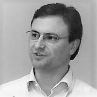
Argyros Argyridis

Argyros finished his master thesis on Rural and Surveying Engineering at NTUA. His research is regarding the development and investigation of computer vision techniques and artificial inteligence methods for remote sensing applications.

Loading map...

[[ Ajolma | Ari Jolma ]]

Name: Ari Jolma
Company: Finnish Environment Institute
Address: Skinnarintie 12 H 20
Country: Finland
City: Vantaa
Local Chapter: Finland (Board Member)
Website: http://arijolma.org
Coordinate: 60° 16' 1.20" N, 24° 47' 6.00" E


Experience: OSGeo coder.png OSGeo charter.png OSGeo exboard.png OSGeo user.png OSGeo Committer.png

Loading map...

[[ Aanthieni | Ariel Anthieni ]]

Name: Ariel Anthieni
Job Title: CEO
Company: Kan Territory & IT
Country: Argentina
State: CABA
City: CABA
Local Chapter: Argentinia
Social Media: https://www.linkedin.com/in/aanthieni/
Website: https://wiki.osgeo.org/wiki/User:Aanthieni
Email: aanthieni@kan.com.ar
Coordinate: 34° 37' 19.46" S, 58° 22' 37.70" W
Languages: Spanish, English

Experience: OSGeo board.png OSGeo charter.png OSGeo user.png

Ariel Anthieni

President Geolibres Asociación Civil

Loading map...

[[ Ingenieroariel | Ariel Nuñez ]]

Name: Ariel Nuñez
Job Title: Consultant
Company: Global Facility for Disaster Reduction and Recovery, World Bank
Country: Colombia
City: Barranquilla
Local Chapter: Sudamerica
Coordinate: 11° 0' 0.00" N, 74° 0' 0.00" W
Languages: Spanish, English

Experience: OSGeo coder.png OSGeo user.png

Ariel is an electronic engineer with experience in sensor networks and software development. He has contributed to many open source software projects centered around web development and GIS. His work in disaster risk reduction centers around the use of open source geospatial tools to improve resilience to natural hazards. He is doing a masters degree on Electronic Engineering and his research involves finding abnormal patterns using computer vision and machine learning.

Loading map...

[[ Atd | Arne Schubert ]]

Name: Arne Schubert
Job Title: Chief-Developer
Company: WhereGroup
Country: Germany
State: NRW
City: Bonn
Local Chapter: FOSSGIS e.V.
Social Media: https://twitter.com/#!/yagajs
Website: https://atd.yagajs.org
Phone: +049-2224-8979262
Coordinate: 50° 44' 22.19" N, 7° 7' 11.94" E
Languages: German, English, French, Spanish, Italian

Experience: OSGeo coder.png OSGeo charter.png OSGeo user.png OSGeo Committer.png

Loading map...

[[ Asgerpetersen | Asger Sigurd Skovbo Petersen ]]

Name: Asger Sigurd Skovbo Petersen
Job Title: Partner
Company: Septima
Country: Danmark
City: Copenhagen
Local Chapter: Danmark
Instant Messaging: Skype: asgerskovbopetersen
Social Media: https://dk.linkedin.com/in/asgerskovbopetersen, https://twitter.com/asgerpetersen, https://github.com/AsgerPetersen
Website: http://www.septima.dk/
Phone: +45-91-32-69-44
Coordinate: 55° 41' 33.87" N, 12° 35' 57.68" E
Languages: English, German, Scandinavian

Experience: OSGeo coder.png OSGeo charter.png OSGeo user.png

Asger Sigurd Skovbo Petersen

Asger is an open source and open data advocate. Open source geospatial software has played a central role in his professional life since 2000, where he does development, consulting and training on open source geospatial software. Asger co-founded the company Septima in 2013 with the aim to help Danish clients to utilize newly released open governmental geodata using open source software.

Loading map...

[[ Astrid Emde | Astrid Emde ]]

Name: Astrid Emde
Job Title: GIS-Consultant
Company: WhereGroup
Country: Germany
State: Nordrhein-Westfalen
City: Cologne
Local Chapter: FOSSGIS e.V.
Social Media: https://twitter.com/#!/astroidex
Coordinate: 50° 56' 25.56" N, 6° 58' 6.97" E
Languages: German, English, French, Spanish

Experience: OSGeo psc.png OSGeo charter.png OSGeo exboard.png OSGeo user.png OSGeo Committer.png OSGeo SolKatz.png

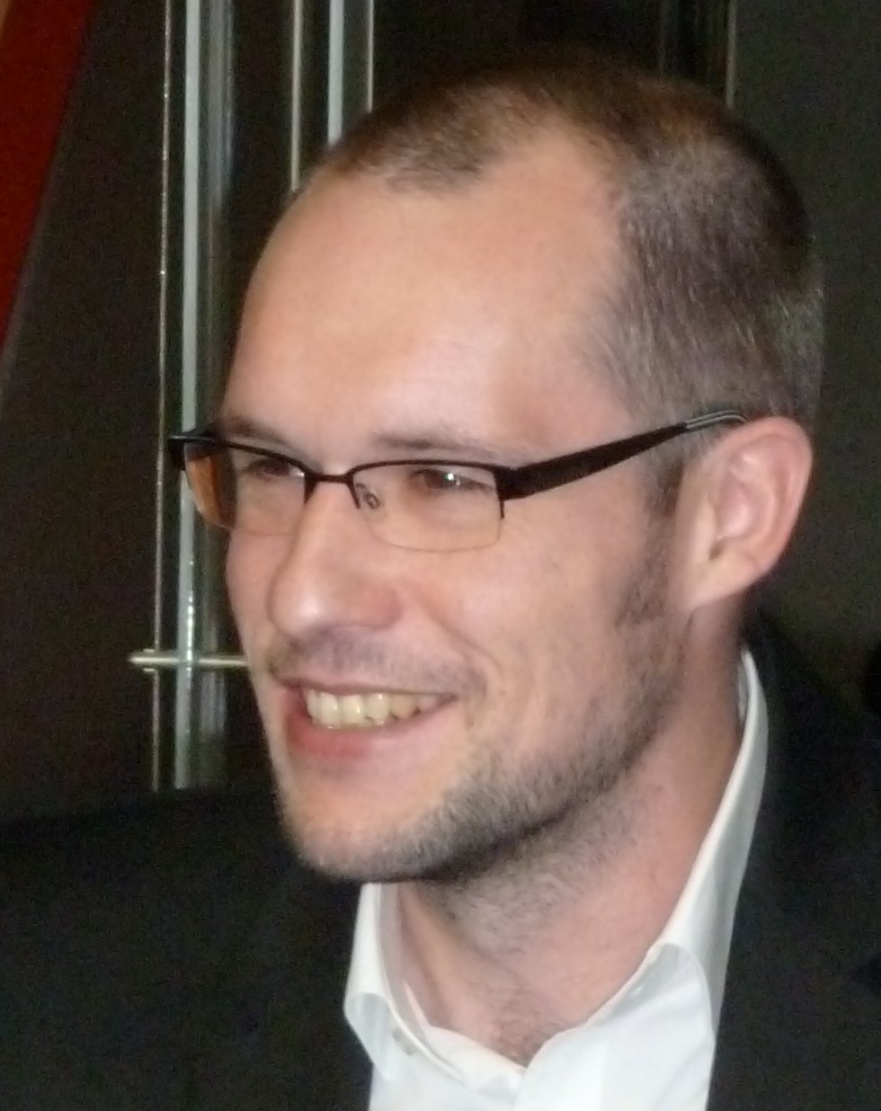
Astrid Emde
Loading map...

[[ Aureliopires | Aurélio Pires ]]

Name: Aurélio Pires
Job Title: Software Engineer and senior GIS consultant
Country: Portugal
City: Braga
Local Chapter: Portugal
Coordinate: 41° 33' 6.26" N, 8° 25' 2.26" W


Experience: OSGeo charter.png OSGeo user.png

Aurélio Pires

Aurélio Pires is a Software Engineer and works as a senior GIS consultant in Portugal.

Loading map...

[[ Niroshan Bandara | Bandara ]]

Name: Bandara
Job Title: Student
Company: Osaka City University
Country: Sri Lanka
City: Osaka
Coordinate: 34° 35' 30.84" N, 135° 30' 19.44" E
Languages: English, Sinhalese, Japanese

Experience: OSGeo coder.png OSGeo charter.png OSGeo user.png

Loading map...

[[ Baovola | Baovola ]]

Name: Baovola
Job Title: Information System Officer
Company: National Geographic and Hydrographic Institute of Madagascar
Address: VC 11 TER Ambanidia
Country: Madagascar
State: Madagascar
City: Antananarivo
Local Chapter: Madagascar
Social Media: http://@BaovolaMada
Email: marieannabvl@gmail.com
Phone: +261340541419
Coordinate: 18° 52' 45.12" S, 47° 30' 28.44" E
Languages: Malagasy, English, French

Experience: OSGeo user.png

Baovola is a Computer Scientist by training. She works at the National Geographic and Hydrographic Institute of Madagascar as an Information System Officer. In 2017, she studied GIS in Brussels. She is a promoter of Open Source and Open Data. She has established the new OSGeo Madagascar Chapter during the FOSS4G 2018.

Loading map...

[[ BarendKobben | Barend Köbben ]]

Name: Barend Köbben
Company: University of Twente – Faculty of Geo–Information Science and Earth Observation
Country: The Netherlands
City: Enschede
Local Chapter: OSGeo.NL
Instant Messaging: Skype: barendkobben
Social Media: https://twitter.com/barendkobben
Website: http://barendkobben.com/
Email: b.j.kobben@utwente.nl
Coordinate: 52° 13' 24.68" N, 6° 53' 7.64" E
Languages: English, Dutch, German, French

Experience: OSGeo charter.png OSGeo user.png

Barend Köbben
Loading map...

[[ Barryrowlingson | Barry Rowlingson ]]

Name: Barry Rowlingson
Country: United Kingdom
City: Lancaster
Local Chapter: OSGeo UK
Website: http://barry.rowlingson.com/
Email: b.rowlingson@gmail.com
Coordinate: 54° 2' 59.32" N, 2° 48' 20.23" W


Experience: OSGeo coder.png OSGeo charter.png OSGeo user.png

Barry is a research fellow in CHICAS, a group of statisticians, epidemiologists, and geneticists at Lancaster University. He has used GIS for over 25 years, and open source exclusively since Y2K. He has served on FOSS4G and OSGeoUK conference committees and contributes to spatial software in R and QGIS.

Loading map...

[[ Bastian | Bastian Drees ]]

Name: Bastian Drees
Job Title: Communications Officer
Company: German National Library of Science and Technology (TIB)
Address: Welfengarten 1B
Country: Germany
State: Lower Saxony
City: Hannover
Local Chapter: FOSSGIS e.V.
Social Media: https://twitter.com/BastianDrees
Email: bastian.drees@tib.eu
Phone: +49-511-762-14644
Coordinate: 52° 22' 53.04" N, 9° 43' 11.64" E
Languages: German, English

Experience: OSGeo charter.png

Bastian Drees
Loading map...

[[ Rorschach | Ben Hur Pintor ]]

Name: Ben Hur Pintor
Job Title: Proprietor
Company: BNHR
Country: Philippines
City: Quezon City
Local Chapter: Philippines
Social Media: https://fb.com/bnhr.xyz
Website: https://bnhr.xyz
Coordinate: 14° 38' 55.68" N, 121° 3' 3.24" E
Languages: English, Filipino

Experience: OSGeo charter.png

Ben is an experienced senior consultant and long-time open geospatial advocate who has a wealth of experience as an educator, trainer, and leader in open data, data literacy, and open geospatial. He is the proprietor of BNHR—an open data and open geospatial consultancy in the Philippines—as well as the co-founder of the Civic Literacy Initiative and SmartCT. He supports and takes an active role in the open data and open geospatial communities in the Philippines both as an individual and through his organizations—co-organizing the Pista ng Mapa conference since 2019 and joining several local, regional, and international open geospatial conferences. Through BNHR, he supports the QGIS project as a QGIS certifying organization and as a QGIS Sustaining Member.

He works to help build better, fairer, and safer societies through the advancement and use of free and open geospatial data and technologies.

Loading map...

[[ Biancafederici | Bianca Federici ]]

Name: Bianca Federici
Job Title: Professor in Geomatics
Company: Polytechnic School of the University of Genoa
Country: Italiano
City: Genoa
Local Chapter: Italiano
Coordinate: 44° 24' 53.64" N, 8° 55' 36.12" E
Languages: Italian, English

Experience: OSGeo user.png

Bianca Federici is Professor of Geomatics at the University of Genoa (Italy). She teaches in several courses related to surveying techniques and GIS, with special focus on FOSS solutions. Her research mainly concerns the analysis of geospatial data in GIS and remote sensing for environmental analysis, as well as surveying and monitoring of natural and built environments.

She is currently a member of the executive committee of GFOSS.it. She was co-chair of the FOSS4G 2022 international conference, she organized or participated in the organization of the Italian GRASS GIS Users Meeting in 2007 and 2013, the Italian OSMit2010 Conference and several Italian FOSS4G conferences since 2017. She has been a member of their scientific committees.

Loading map...

[[ Bjornharrtell | Björn Harrtell ]]

Name: Björn Harrtell
Country: Sweden
City: Malmö
Email: bjorn@wololo.org
Coordinate: 55° 33' 0.00" N, 13° 5' 24.00" E


Experience: OSGeo coder.png OSGeo user.png

Loading map...

[[ Bogdan Grama | Bogdan Grama ]]

Name: Bogdan Grama
Job Title: GIS Analyst
Company: Soft Business Union
Address: Bucharest, Romania
Country: Romania
City: Bucharest
Local Chapter: Romanian
Website: https://ro.linkedin.com/in/bogdan-grama-56a2a99
Coordinate: 44° 25' 4.86" N, 26° 8' 32.02" E


Experience: OSGeo charter.png OSGeo user.png

Loading map...

[[ Pcreso | Brent Wood ]]

Name: Brent Wood
Job Title: Programme Leader for Environmental Information Delivery
Company: NIWA
Country: New Zealand
City: Wellington
Local Chapter: Aust-NZ
Instant Messaging: Skype: pcreso
Coordinate: 41° 16' 55.20" S, 174° 58' 8.40" E
Languages: English

Experience: OSGeo user.png

Brent Wood

Brent Wood has worked in fisheries/marine/environmental research for 40 years, and for almost half of this time he used Open Source tools for spatial data management, analysis and visualisation. He has been a NZ Open Source Society Council member for several years, as well as an active Wellington Linux User Group member and Installfest organiser. He has been a regular presenter at FOSS4G since 2009, and was a finalist in the 2010 NZOSA awards for a web mapping portal using Silverstripe, Postgis. mapserver and Geonetwork which provided public access to research data and reports.

Brent manages the NIWA QGIS Users Group, which is currently acting as the NZ QGIS User Group, and is an active participant in the Wellington Postgres Users Group (with a focus on Postgis). He is also interested in the use of R as a GIS/spatial analysis & mapping tool. His platform of choice is Linix, and has several years experience is setting up and using Linux based GIS workstations.

Loading map...

[[ Brian Hamlin | Brian M Hamlin ]]

Name: Brian M Hamlin
Job Title: Project Director
Company: California Open Data ECN
Country: USA
State: CA
City: Berkeley
Local Chapter: California Chapter
Website: http://blog.light42.com
Coordinate: 37° 53' 9.60" N, 122° 14' 42.00" W
Languages: English, basic German

Experience: OSGeo coder.png OSGeo psc.png OSGeo charter.png OSGeo user.png

Brian M Hamlin
Loading map...

[[ Ybh0616 | Byeong-Hyeok Yu ]]

Name: Byeong-Hyeok Yu
Job Title: GIS/RS analyst (GISP)
Company: Korea National Park Service
Country: South Korea
City: Seoul
Local Chapter: Korea
Social Media: http://www.facebook.com/ybh0616
Website: http://blog.daum.net/geoscience
Email: bhyu@knps.or.kr
Phone: +82-2-721-9655
Coordinate: 37° 31' 32.19" N, 126° 58' 46.53" E
Languages: Korean, English

Experience: OSGeo charter.png OSGeo user.png

Byeong-Hyeok Yu
Loading map...